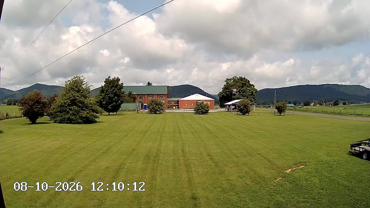
Springville - Burke's Garden Telephone web
Virginia, United States — 18 km
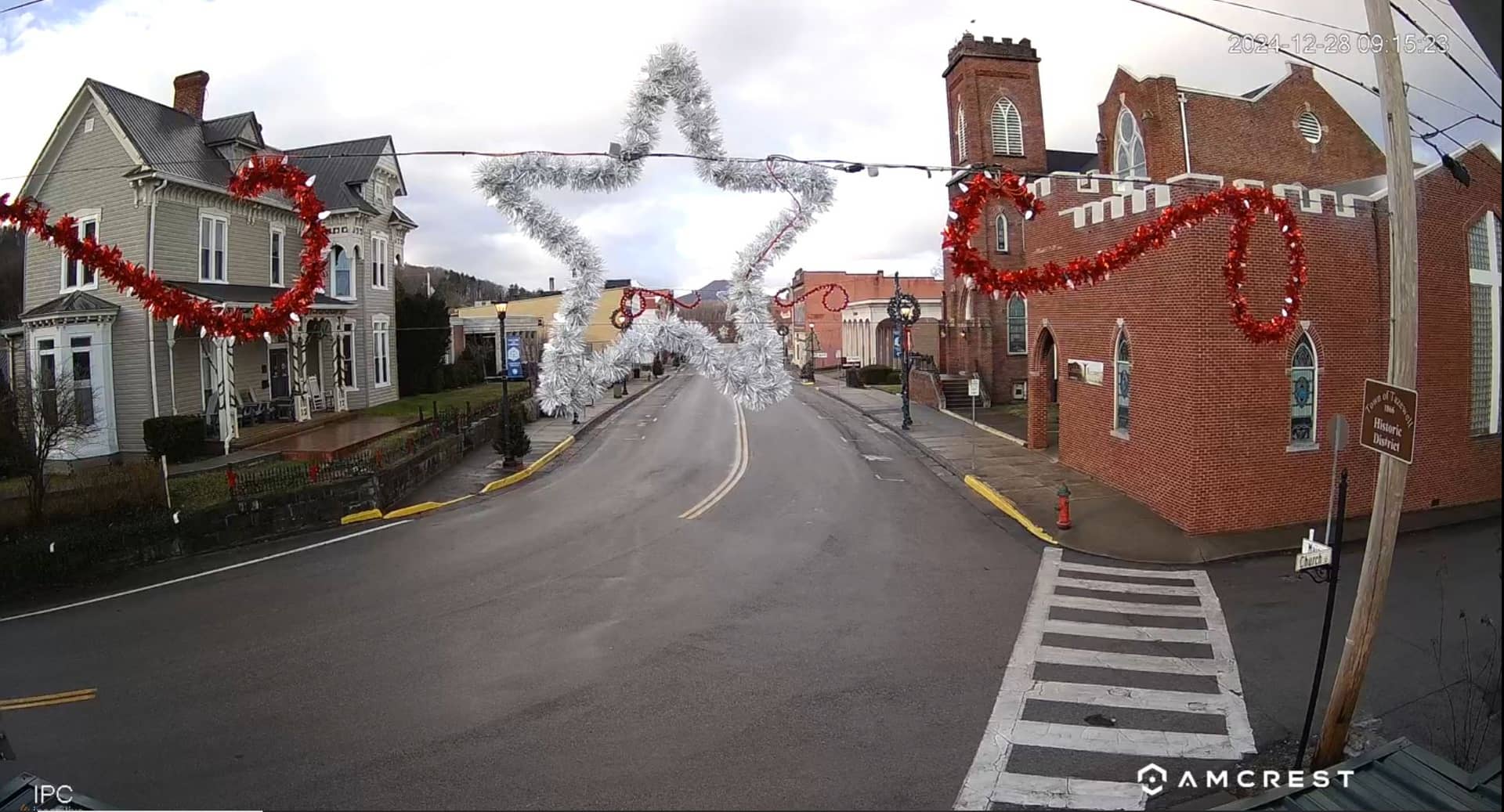
🇺🇸 Virginia · United States — Altitude 770 m
This live feed from Tazewell, in the southwest corner of Virginia, lets you check the town at any moment without leaving your browser. The page adds the current local time and weather with a three-day forecast, so you can see what conditions are like before you plan a trip or simply want to know what the mountain air is doing today.
Tazewell is the county seat of Tazewell County, set in the ridges and valleys of the Appalachian Mountains at roughly 770 metres above sea level. The region is known for its rural character, farmland, forested hills and a strong sense of Appalachian history, with coal mining and railroads shaping the area for generations. Its landscape is quiet and green, and the town feels like a gateway to the wider mountains of southwest Virginia.
The stream is listed as a Tazewell webcam, so the view is best understood as a window onto the town itself rather than a specific landmark. Depending on the angle, you may see streets, buildings, trees and the surrounding hills. The scene changes most with the seasons: spring and autumn bring strong colour to the trees, while fog and low cloud often drift through the valleys on cool mornings.
Tazewell has a humid continental climate with warm summers and cold, sometimes snowy winters. Late spring and early autumn are generally the most pleasant times to visit for hiking and scenic drives. Nearby cameras on this site include views from Springville, about 18 km away, and Bluefield, about 33 km away, which can help you compare conditions across the region.
Source: Tazewell webcam
Virginia, United States — 18 km

West Virginia, United States — 64 km

West Virginia, United States — 64 km
West Virginia, United States — 67 km

Tennessee, United States — 76 km
North Carolina, United States — 81 km
North Carolina, United States — 81 km
West Virginia, United States — 83 km
West Virginia, United States — 83 km
West Virginia, United States — 83 km
The current conditions and a three-day forecast for Tazewell are shown in the live weather block on this page, updated alongside the camera.
The local time in Tazewell is displayed on this page and follows Eastern time, so it may differ from your own time zone.
The camera is in Tazewell, Virginia, at about 37.13 degrees north and 81.54 degrees west, in the Appalachian foothills of the state's southwest region.
Daylight hours give the clearest view. Autumn is especially attractive when the surrounding hills change colour, and morning fog is often worth watching in cooler months.
Partner links: we may earn a commission at no extra cost to you.