Springfield - WeatherCam
Virginia, United States — 11 km
🇺🇸 Virginia · United States — Altitude 3 m
This live stream from Fort Hunt, a community on the Potomac River just south of Alexandria in northern Virginia, lets you check on the area from wherever you are. Because the camera sits at low elevation close to the water, it is useful for a quick look at conditions along the river before you head out.
Fort Hunt is a residential area on the Virginia side of the Potomac, a few miles south of Alexandria and within the Washington metropolitan region. The land is flat and wooded in places, with parkland along the river. The name recalls the older fortifications built to guard the approaches to the capital, and the shoreline has long been a quiet place for walkers, anglers and birdwatchers looking for a break from the city.
The title identifies the feed only as a Fort Hunt copy stream, so exact details of the view are not described here. Depending on the angle, you may see river water, trees, sky and the changing light across the day. The most interesting moments are often early morning and late afternoon, when the river is calm and the weather is clearest. Haze, fog and summer storms can reduce visibility quickly, so check the live weather block on this page before judging the view.
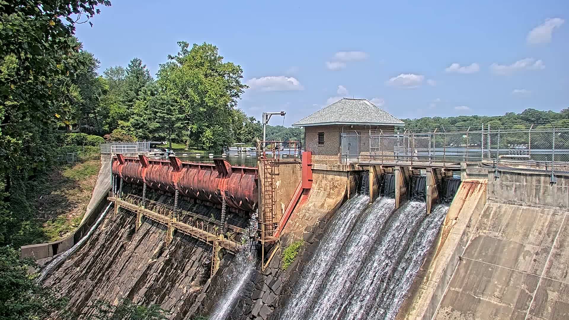
The area has a humid subtropical climate with hot, muddy summers, mild springs and autumns, and cold winters with occasional snow. Spring and early autumn are generally the most pleasant times to be outdoors by the water. Fort Hunt sits along the George Washington Memorial Parkway, so it is easy to reach by car from Alexandria or Washington. Nearby cameras include the Springfield WeatherCam about 11 km away, the Lake Barcroft Dam Cam at roughly 15 km, and the Washington YoJayHudsonSTREAMS feed at about 20 km.
Source: CamStreamer
Virginia, United States — 11 km
Virginia, United States — 15 km
District of Columbia, United States — 19 km

District of Columbia, United States — 20 km
District of Columbia, United States — 20 km

Virginia, United States — 23 km
Maryland, United States — 23 km
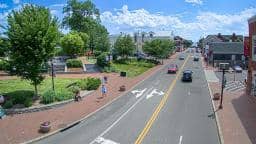
Virginia, United States — 25 km
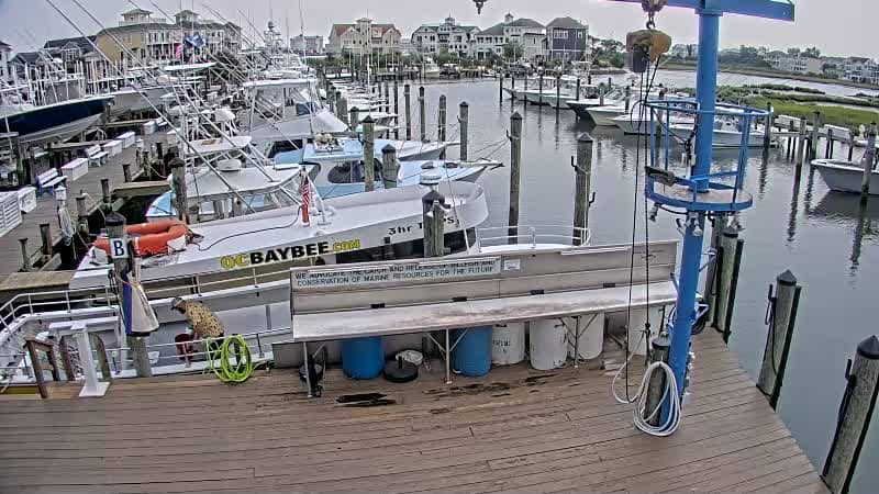
Maryland, United States — 39 km
Maryland, United States — 56 km
The current conditions and a three-day forecast for Fort Hunt are shown in the live weather block on this page. They update automatically, so you can check them alongside the camera view before you go out.
The local time for Fort Hunt is displayed on this page and follows Eastern Time in the United States. It updates live, so you can compare it with your own time zone at a glance.
The camera is in Fort Hunt in northern Virginia, on the Potomac River just south of Alexandria. The map on this page shows its exact position relative to Washington and the surrounding area.
Early morning and late afternoon usually offer the clearest and calmest conditions along the river. Check the live weather on this page first, since fog, haze or storms can reduce visibility at any time.
Partner links: we may earn a commission at no extra cost to you.