Stevenson
Washington, United States — 0.5 km
Stevenson - Stevenson
🇺🇸 Washington · United States — Altitude 30 m
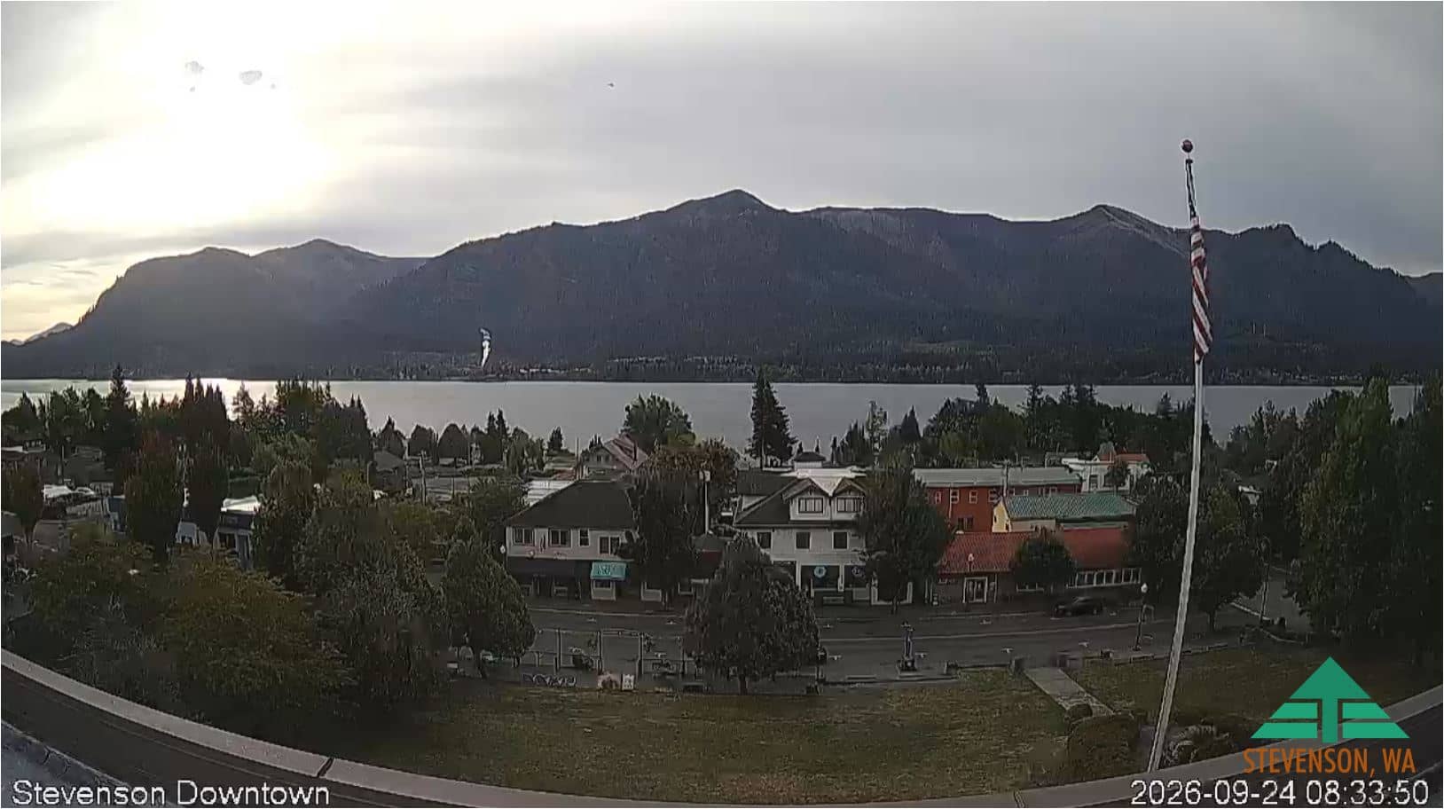
This camera points at Stevenson, a small town on the Washington bank of the Columbia River, roughly 45 km from the Mount Hood area. Watch the live feed to get a sense of the river and sky above the Gorge before you travel or plan a day outdoors.
Stevenson sits on a sheltered stretch of the Columbia River at the western end of the Columbia River Gorge, where steep basalt walls rise on both sides of the water. The town is a common base for hikers and windsurfers exploring the Gorge, and it is known for its riverside setting and views toward Oregon. The landscape is green and forested, with waterfalls and trails nearby in the wider region.
The feed shows the town as it is now, so you can judge light, cloud cover and how calm or windy the river looks. Mornings often bring still water and softer light, while afternoons can bring stronger gusts through the Gorge. Changes in cloud and haze are easiest to notice when the sky is clear, and the view is most useful for checking conditions before heading out.
The region has a mild, wet winter and drier summers, and the Gorge can be notably windier than the surrounding countryside. Spring and early autumn are popular for walking and paddling. For a wider picture, the nearby Mt Hood Meadows and Government Camp cameras show conditions around the mountain roughly 44 to 45 km away.
Source: vision-environnement.com
Washington, United States — 0.5 km
Oregon, United States — 44 km
Oregon, United States — 44 km
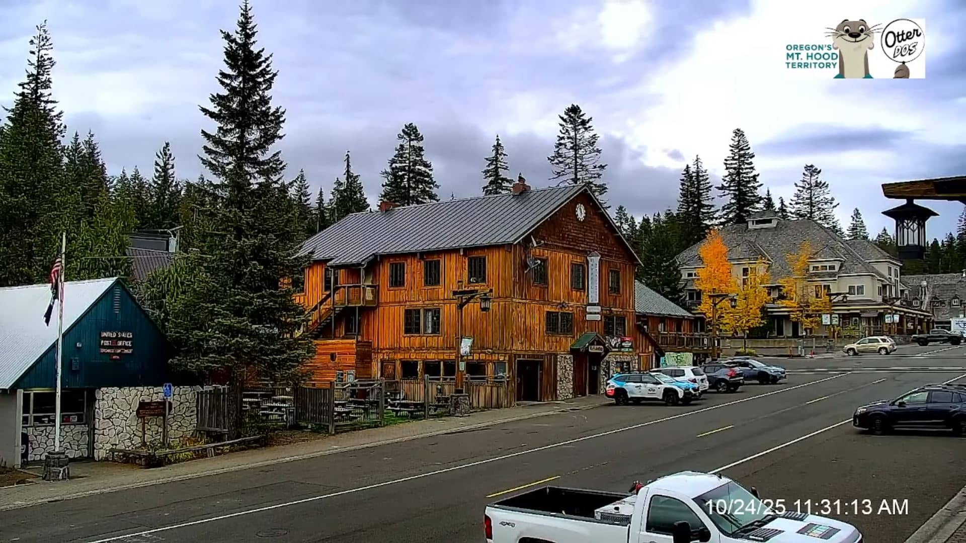
Oregon, United States — 45 km
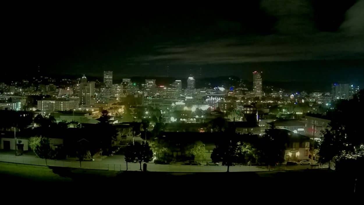
Oregon, United States — 63 km
Oregon, United States — 64 km
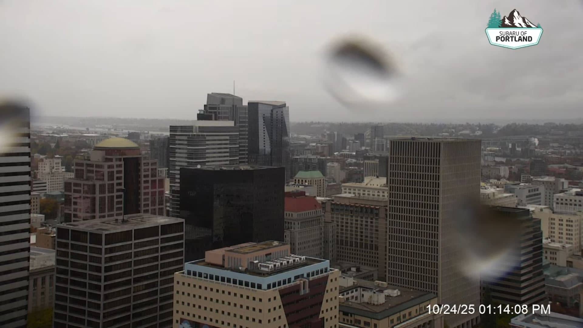
Oregon, United States — 65 km
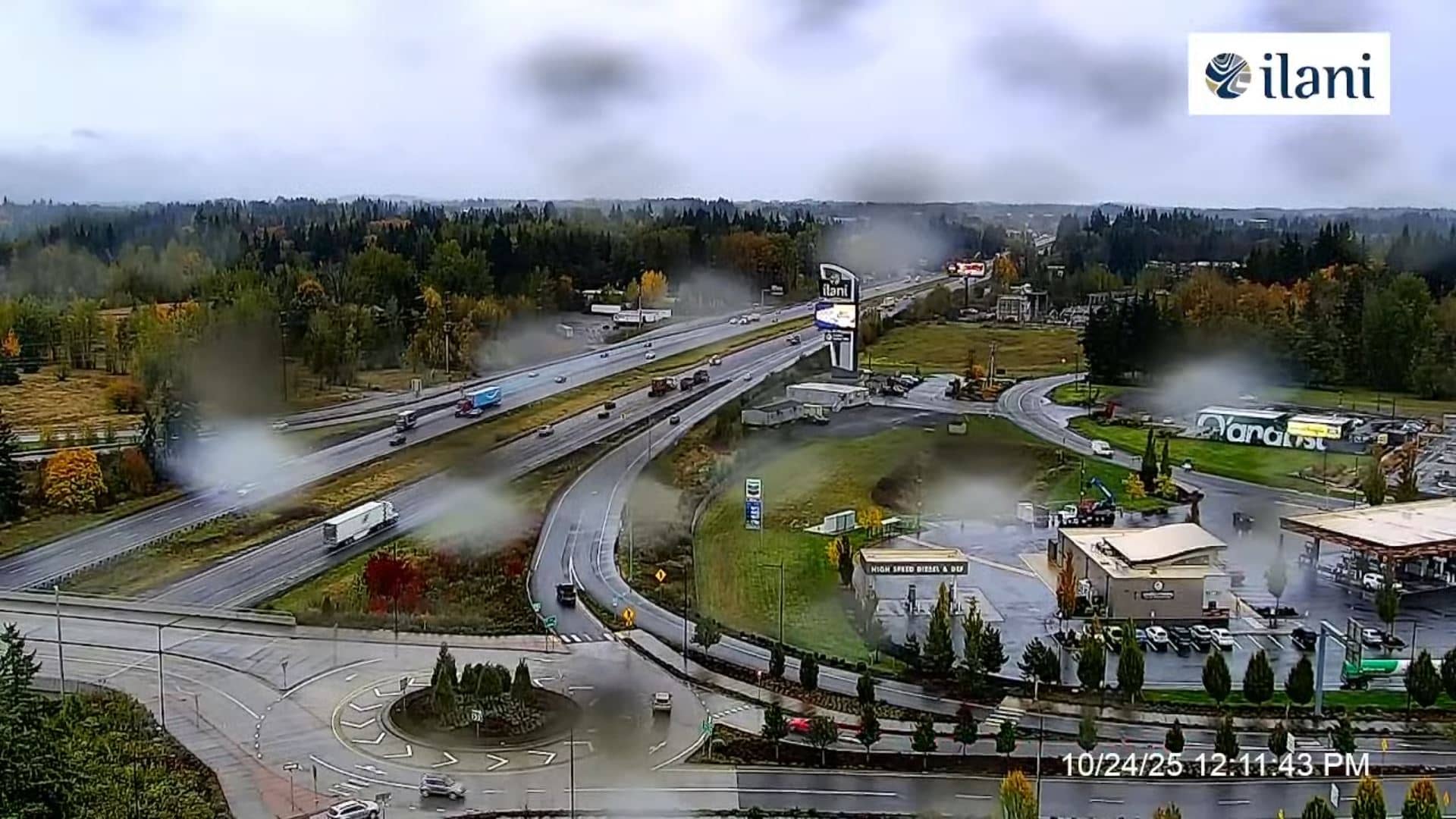
Washington, United States — 66 km
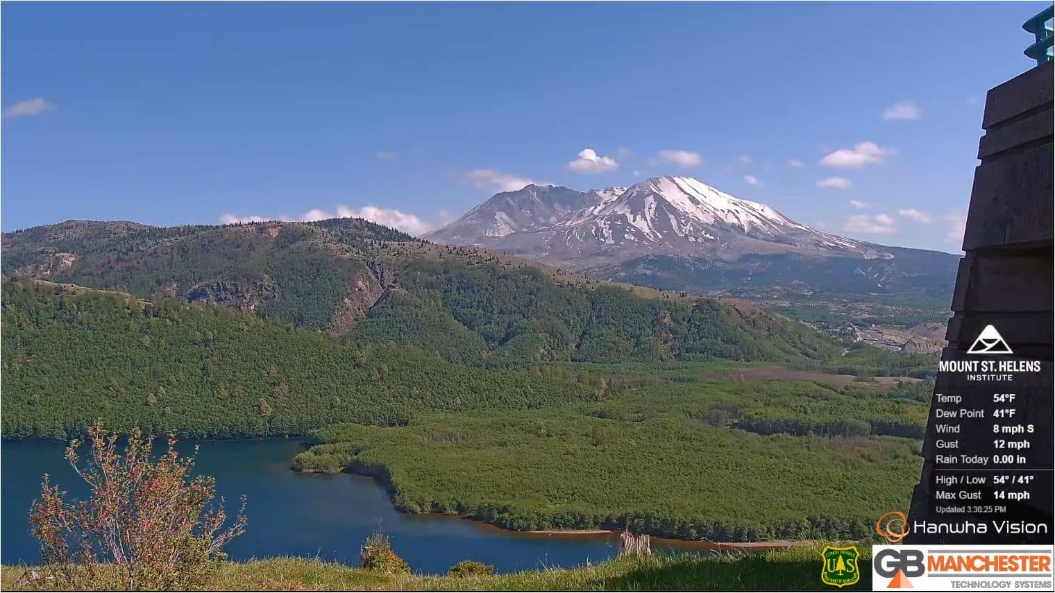
Washington, United States — 73 km
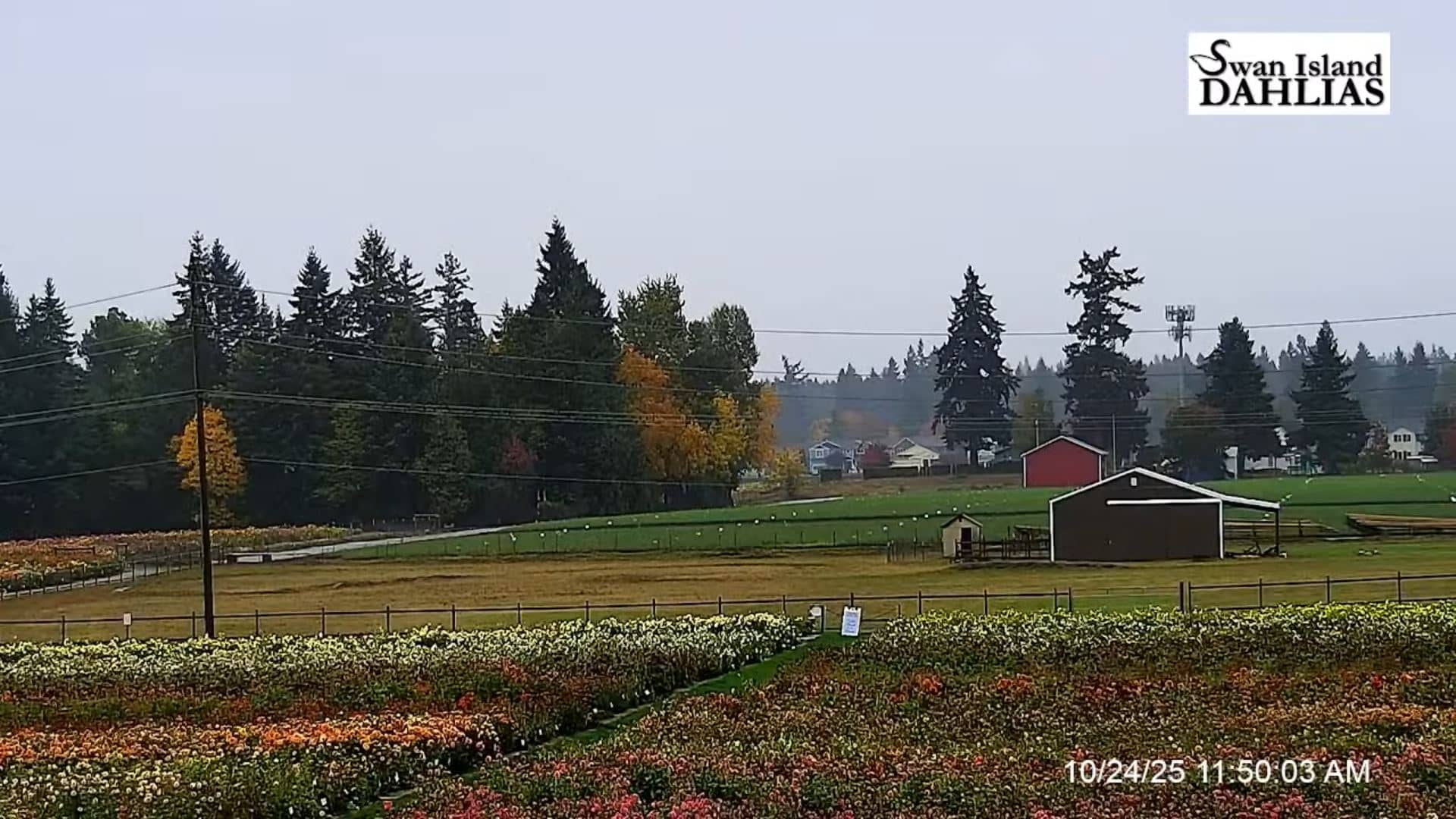
Oregon, United States — 79 km
The current conditions and a three-day forecast for Stevenson are shown in the live weather block on this page, updated with the latest available data.
The local time for Stevenson, Washington, is displayed on this page and follows the Pacific time zone used across the region.
The camera is in Stevenson, Washington, on the north bank of the Columbia River. The map on this page shows its exact position in the town.
Daytime hours give the clearest view of the river and sky, and checking in the morning often shows the calmest water before afternoon winds pick up.
Partner links: we may earn a commission at no extra cost to you.