Davis - Timberline Mountain
West Virginia, United States — 1 km
Davis - Timberline Mountain - Summit
🇺🇸 West Virginia · United States — Altitude 1300 m
This camera looks out from the summit of Timberline Mountain, close to the town of Davis in the Allegheny Highlands of West Virginia. It is useful for judging how the ridge and sky look right now, which matters a lot at this elevation. Viewers planning a ski day or a hike often watch it first.
Davis sits in the high country of north-central West Virginia, a region of forested ridges and mountain valleys in the Appalachians. Timberline Mountain rises to about 1,300 metres and is part of the resort area that gives the town much of its visitor traffic. The surrounding landscape is mostly hardwood and spruce forest, with the Canaan Valley nearby, one of the larger high-elevation valleys in the eastern United States. The atmosphere is quiet and rural, shaped by the mountains more than by any town centre.
The camera shows a mountain summit view, so conditions such as cloud cover, fog moving along the ridges, snow or rain are the things worth checking. Depending on the view, you may see changing light across the forest at sunrise and sunset, which is when the colours and shadows are strongest. Winter snowfall or autumn foliage tend to make the view most striking, but cloud can roll in quickly at altitude, so the live stream is the best guide to whether the summit is clear.
Davis is reached by road through the mountains, and weather can change faster here than in the lowlands, so check the forecast on this page before travelling. Winters are cold with substantial snow, while summers are cooler than much of the surrounding region, which makes the area popular for a break from the heat. Other live views nearby include Canaan Valley Resort in Davis, Harman and Spruce Mountain, which help you compare conditions across the area.
Source: resortcams.com
West Virginia, United States — 1 km

West Virginia, United States — 5.7 km
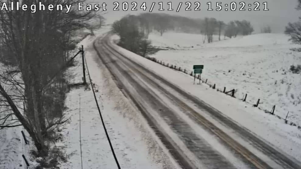
West Virginia, United States — 16 km
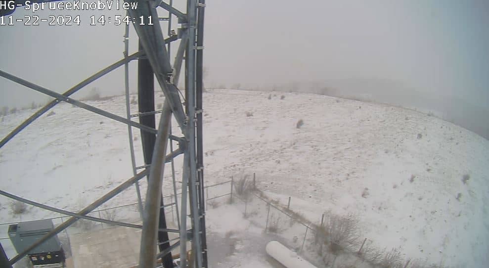
West Virginia, United States — 39 km
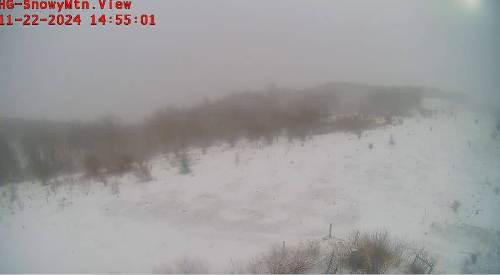
West Virginia, United States — 51 km
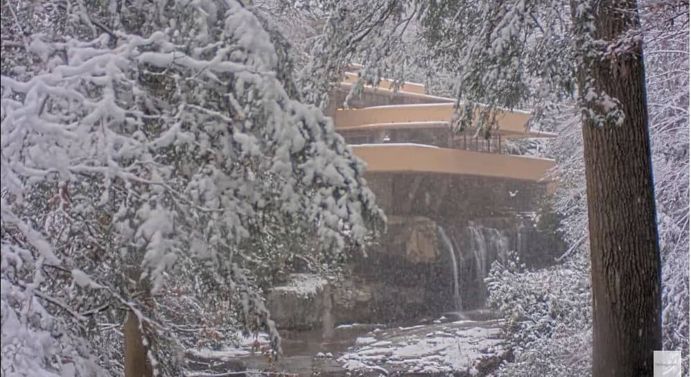
Maryland, United States — 53 km

Maryland, United States — 58 km

Maryland, United States — 58 km

Maryland, United States — 58 km

Maryland, United States — 59 km
The current conditions and a three-day forecast for the summit area are shown in the live weather block on this page. Because the site is at high elevation, temperatures and cloud can differ noticeably from the town below.
The local time for Davis, West Virginia, is displayed on this page and follows Eastern Time, including daylight saving changes. The clock updates automatically so you can match it against the live view.
The camera is on the summit area of Timberline Mountain near Davis in north-central West Virginia, at roughly 1,300 metres above sea level. The map on this page marks its position among the surrounding peaks and valleys.
Early morning and late afternoon usually give the clearest light and the most interesting shadows on the ridges. Winter and autumn are popular seasons for watching, since snow and foliage change the view the most.
Partner links: we may earn a commission at no extra cost to you.