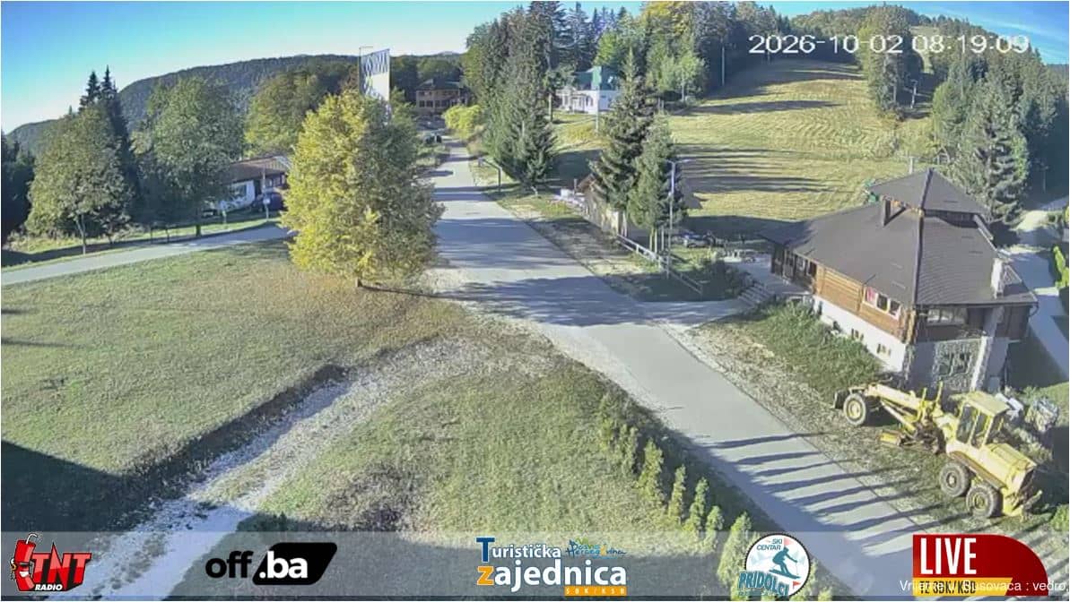
Pridolci - Station de ski - pistes (Busovača)
Central Bosnia Canton, Bosnia & Herzegovina — 5.4 km
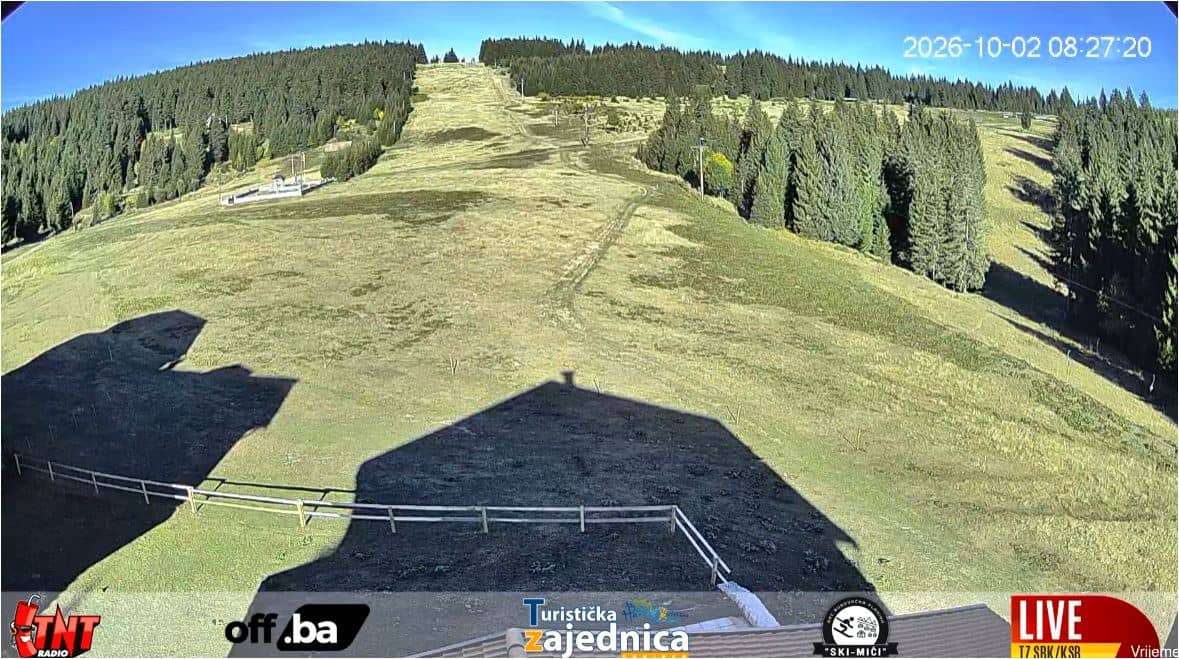
Busovačka planina - Station de ski - versant nord de la Vranica (Busovača)
🇧🇦 Central Bosnia Canton · Bosnia & Herzegovina — Altitude 1510 m
This camera looks at the ski area of Busovačka planina on the northern flank of the Vranica massif in Central Bosnia. It is useful for checking whether the slopes are open and what conditions look like before you travel. The live player sits alongside the local time and forecast for the mountain.
Busovačka planina lies at roughly 1,510 metres above sea level, above the town of Busovača in the Central Bosnia Canton. The Vranica range is the highest part of the central Dinaric mountains and is known for open alpine meadows, forest and limestone ridges. The area is more of a regional ski ground than a large resort, which gives it a quiet, local feel.
Since the camera is aimed at the northern slope, it is best used to judge snow cover and visibility on the pistes during the winter season. Mornings are often clearest before cloud builds over the ridges, and fresh snowfall is easiest to spot in the hours after it stops. Conditions can change quickly with altitude, so the live view is more reliable than an old photo.
Winter brings the most reliable snow here, typically from late December into March, while the surrounding valleys stay milder. Summer is cooler than the lowlands and suits walking on the plateau. Nearby cameras cover Pridolci at about 5 km, Brusnica above Fojnica at 13 km, and two views from Rostovo at 20 km, which help you compare conditions across the mountains.
Source: ski.srednjabosna.ba
Central Bosnia Canton, Bosnia & Herzegovina — 5.4 km
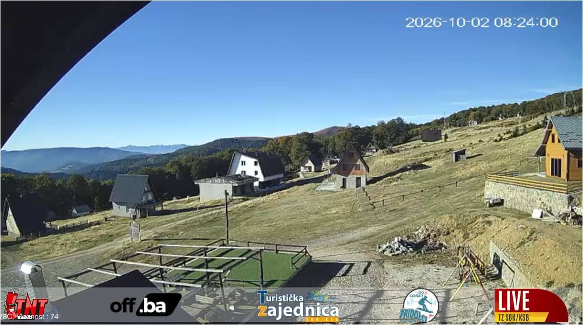
Central Bosnia Canton, Bosnia & Herzegovina — 13 km
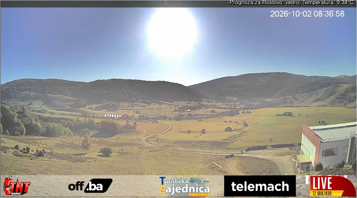
Central Bosnia Canton, Bosnia & Herzegovina — 20 km
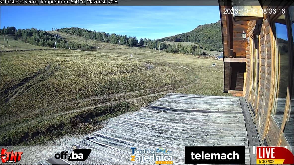
Central Bosnia Canton, Bosnia & Herzegovina — 20 km
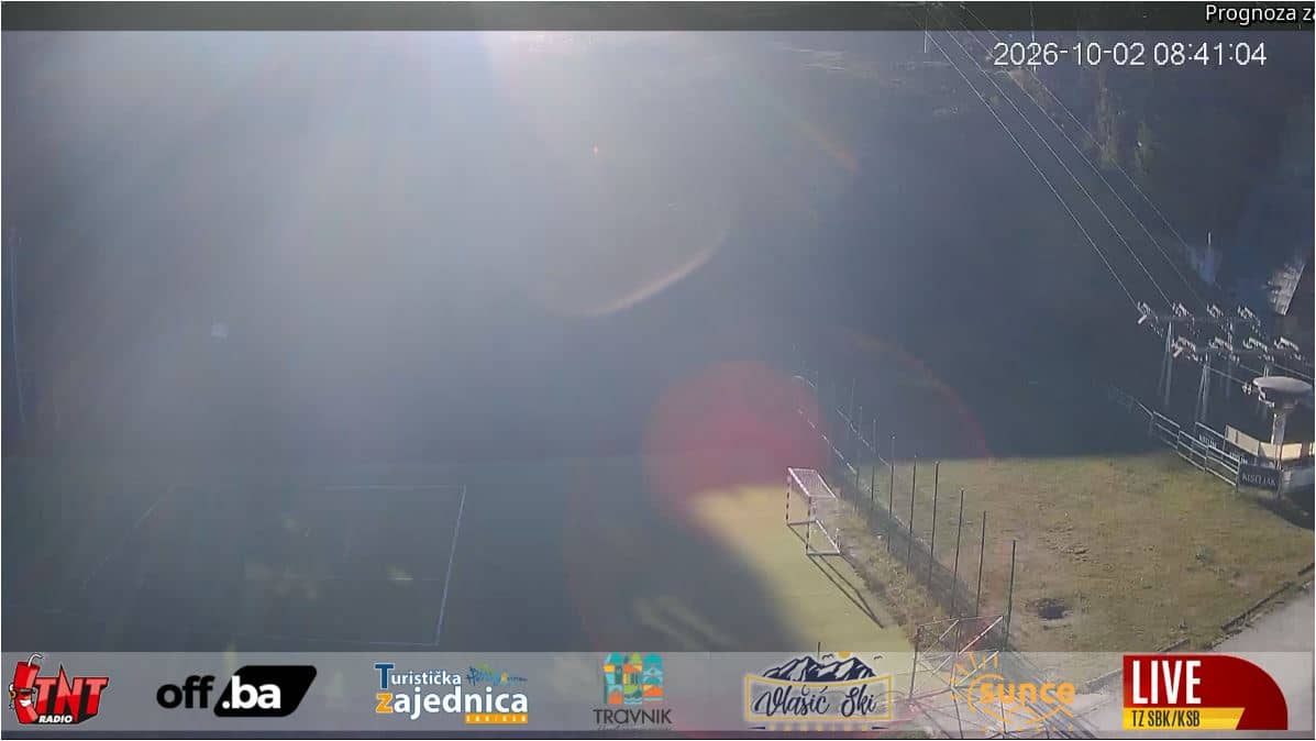
Central Bosnia Canton, Bosnia & Herzegovina — 31 km
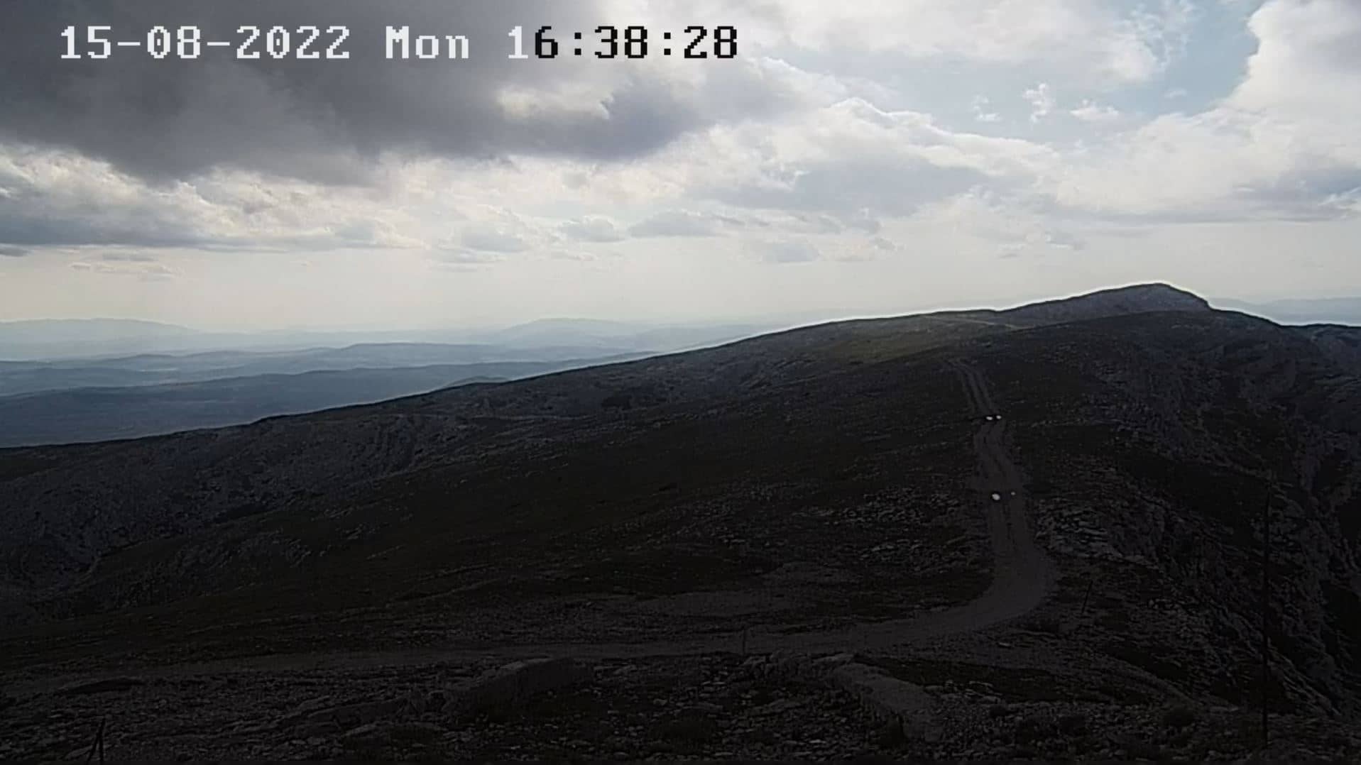
Federation of Bosnia and Herzegovina, Bosnia & Herzegovina — 50 km
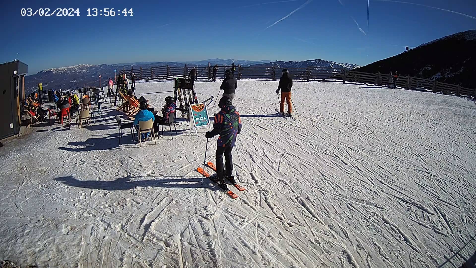
Federation of Bosnia and Herzegovina, Bosnia & Herzegovina — 50 km
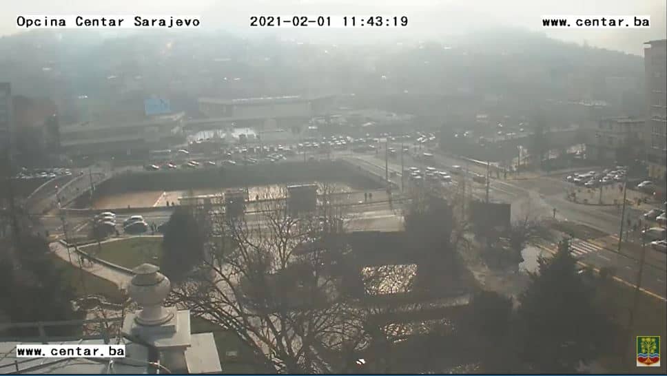
Sarajevo Canton, Bosnia & Herzegovina — 52 km

Republika Srpska, Bosnia & Herzegovina — 69 km
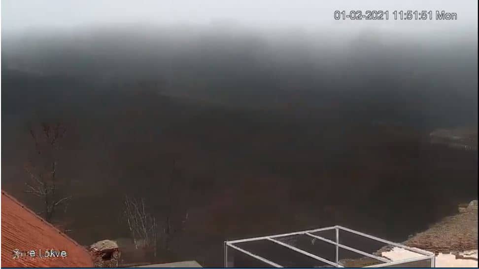
West Herzegovina Canton, Bosnia & Herzegovina — 72 km
The current conditions and a three-day forecast are shown in the weather block on this page. Because the site sits at about 1,510 metres, it is usually colder and windier than Busovača in the valley.
The local time block on this page shows the current time in Central Europe, which is the time zone used across Bosnia and Herzegovina.
The camera is on the northern slope of the Vranica massif above Busovača in Central Bosnia. The map on this page marks its position so you can see how it relates to nearby towns and mountains.
Winter mornings are usually the most useful, when snow cover and visibility are easiest to judge. Check the forecast on this page before expecting clear views, since cloud often gathers on the ridges later in the day.
Partner links: we may earn a commission at no extra cost to you.