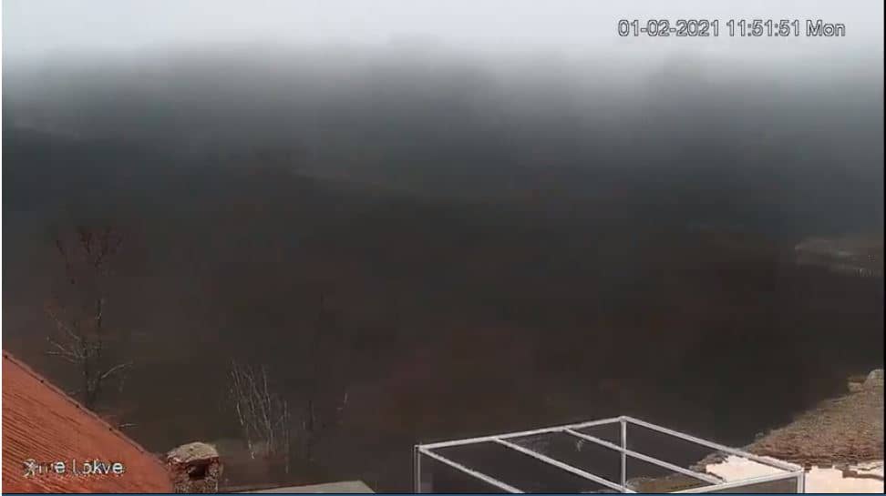
Cme Lokve
West Herzegovina Canton, Bosnia & Herzegovina — 22 km
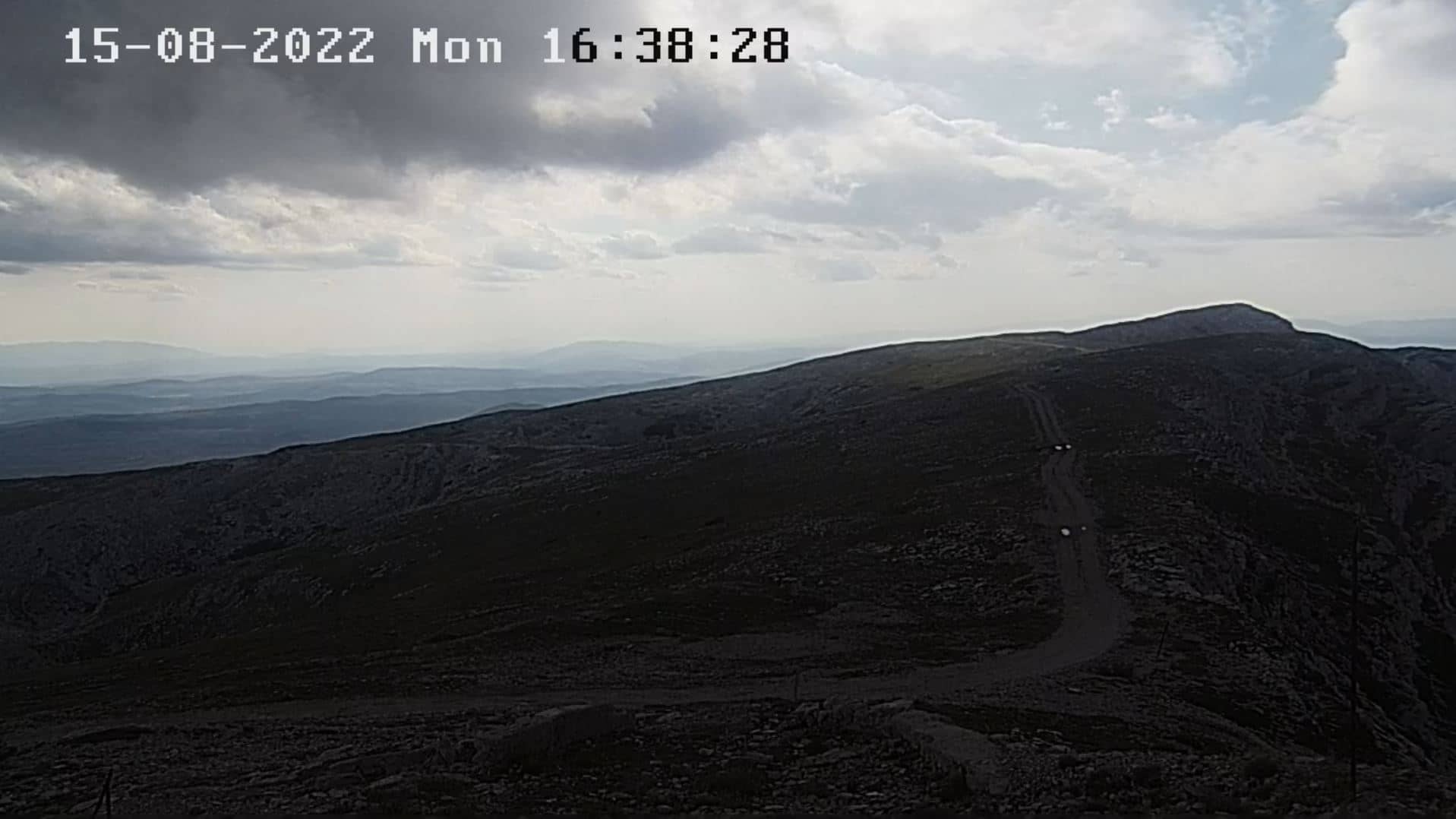
🇧🇦 Federation of Bosnia and Herzegovina · Bosnia & Herzegovina — Altitude 1262 m
This live camera looks out over Masna Luka, a mountain location at about 1262 metres in the Federation of Bosnia and Herzegovina. It suits anyone curious about upland conditions in the Dinaric Alps, from cloud and snow to the changing light of the day. The page adds local time and weather so you can judge conditions before you watch.
Masna Luka lies in the central highlands of the Federation of Bosnia and Herzegovina, in the wider Dinaric Alps region. Mountain settings like this are known for open limestone slopes, forest patches, and sharp shifts in weather between valley and summit. Altitude shapes what you see here: visibility can change quickly as clouds gather or lift over the ridges.
Because the title points to a mountain location, the view is most likely to show slopes, ridgelines and sky rather than towns. Depending on the view, you may see low cloud rolling across the hills, snow cover in winter, or the long shadows of late afternoon. Early morning and the hour before sunset are often the most rewarding times to observe changes in light and cloud.
The region has a continental climate with cold winters and mild to warm summers, and higher ground tends to be cooler and wetter than the lowlands. Spring and early autumn are generally pleasant for visiting the uplands, while winter brings snow and possible road restrictions. Nearby cameras on this site include Lokve, Bjelasnica and Sarajevo, which can help you compare conditions across the region.
Source: Masna Luka Webcam
West Herzegovina Canton, Bosnia & Herzegovina — 22 km
Central Bosnia Canton, Bosnia & Herzegovina — 38 km
Central Bosnia Canton, Bosnia & Herzegovina — 50 km
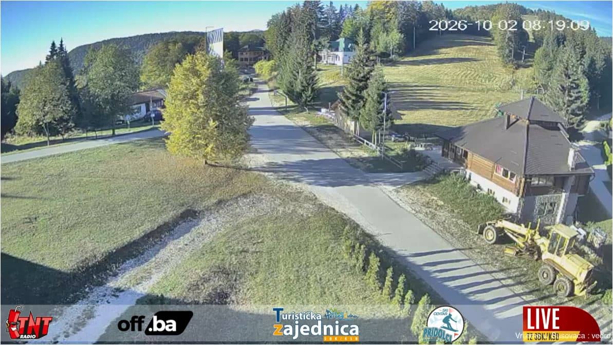
Central Bosnia Canton, Bosnia & Herzegovina — 50 km
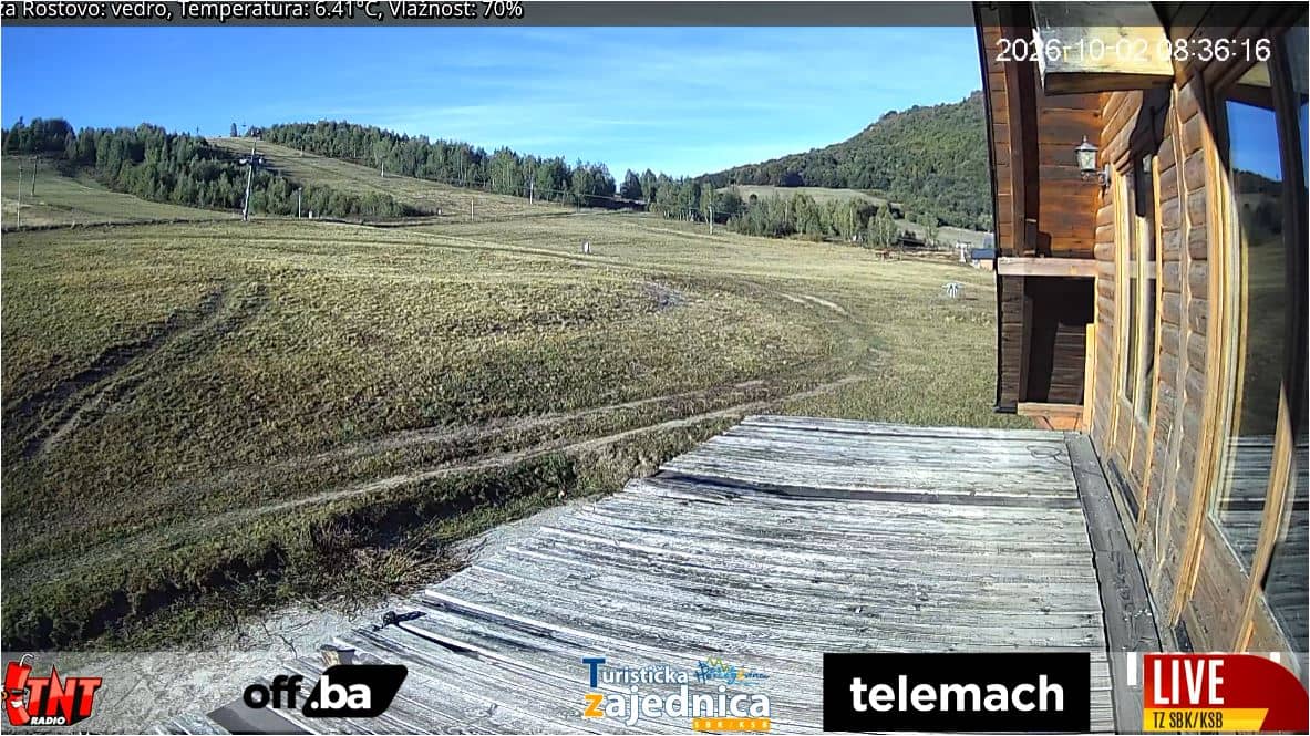
Central Bosnia Canton, Bosnia & Herzegovina — 53 km
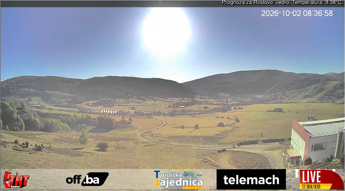
Central Bosnia Canton, Bosnia & Herzegovina — 53 km
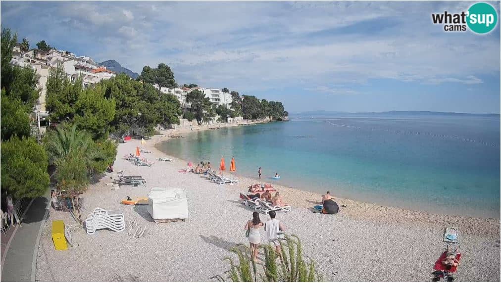
Split-Dalmatia, Croatia — 57 km
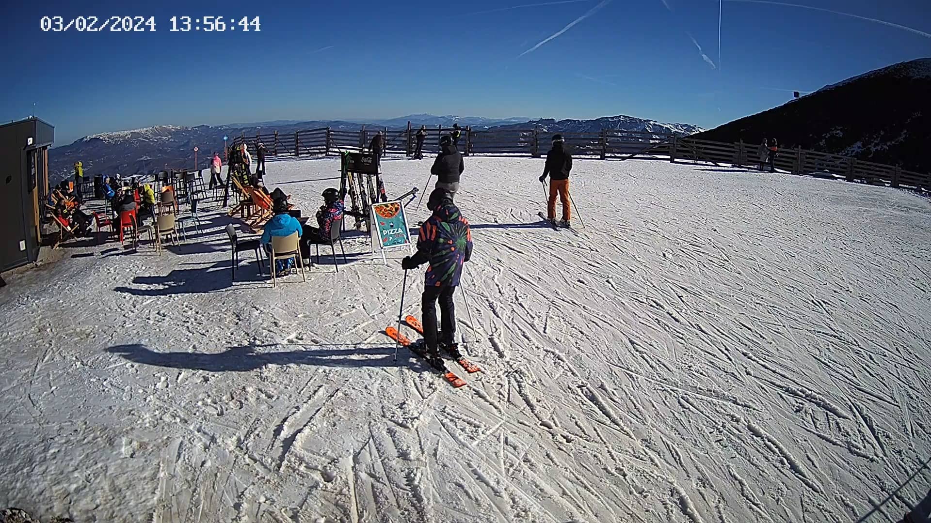
Federation of Bosnia and Herzegovina, Bosnia & Herzegovina — 57 km
Central Bosnia Canton, Bosnia & Herzegovina — 74 km
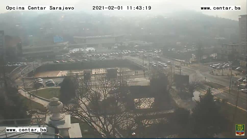
Sarajevo Canton, Bosnia & Herzegovina — 75 km
The current conditions and a three-day forecast are shown in the live weather block on this page. Because the location is at high altitude, temperatures and visibility can differ noticeably from those in nearby towns.
The local time is displayed on this page and updates automatically for the camera's location in Bosnia and Herzegovina.
The camera is in the Federation of Bosnia and Herzegovina at roughly 43.63 N, 17.54 E, at an altitude of about 1262 metres. The map on this page shows its exact position.
Early mornings and late afternoons usually offer the most interesting light and cloud movement. Winter views may show snow, while summer is better for seeing clear skies and green slopes.
Partner links: we may earn a commission at no extra cost to you.