
Jahorina - Hôtel Termag
Republika Srpska, Bosnia & Herzegovina — 18 km
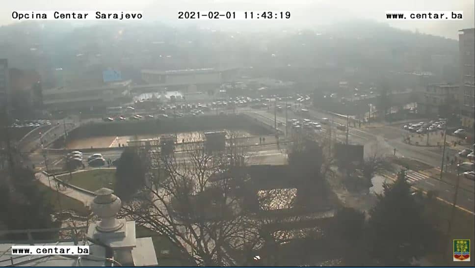
🇧🇦 Sarajevo Canton · Bosnia & Herzegovina — Altitude 544 m
This live stream looks out over Sarajevo, the capital of Bosnia and Herzegovina, set in a valley at the foot of surrounding mountains. It is useful for seeing how the city looks right now, from the sky and rooftops to the hills beyond. Check the live player together with the local weather below before you plan a trip.
Sarajevo sits in a long valley of the Dinaric Alps, at an altitude of about 540 metres. The city is known for its layered history, where Ottoman-era bazaars, Austro-Hungarian buildings and modern districts stand close together. The Miljacka river runs through the centre, and the surrounding hills give the city a distinctive, enclosed character that many visitors remember long after they leave.
Because this is a city stream, the view is mainly about urban life, weather and changing light over the valley. Mornings often bring haze or low cloud in the basin, while late afternoon and early evening light the hills and rooftops warmly. Conditions shift quickly with the seasons, so watch at different times of day to see how the city and its skyline change.
Sarajevo has a continental climate with hot summers and cold, snowy winters, and autumn and spring are generally pleasant for walking. Nearby mountain areas such as Jahorina, Bjelasnica and Vranica are popular for winter sports, and their cameras are listed below. Within the city, the centre is compact and easy to explore on foot.
Source: Opcina Centar
Republika Srpska, Bosnia & Herzegovina — 18 km
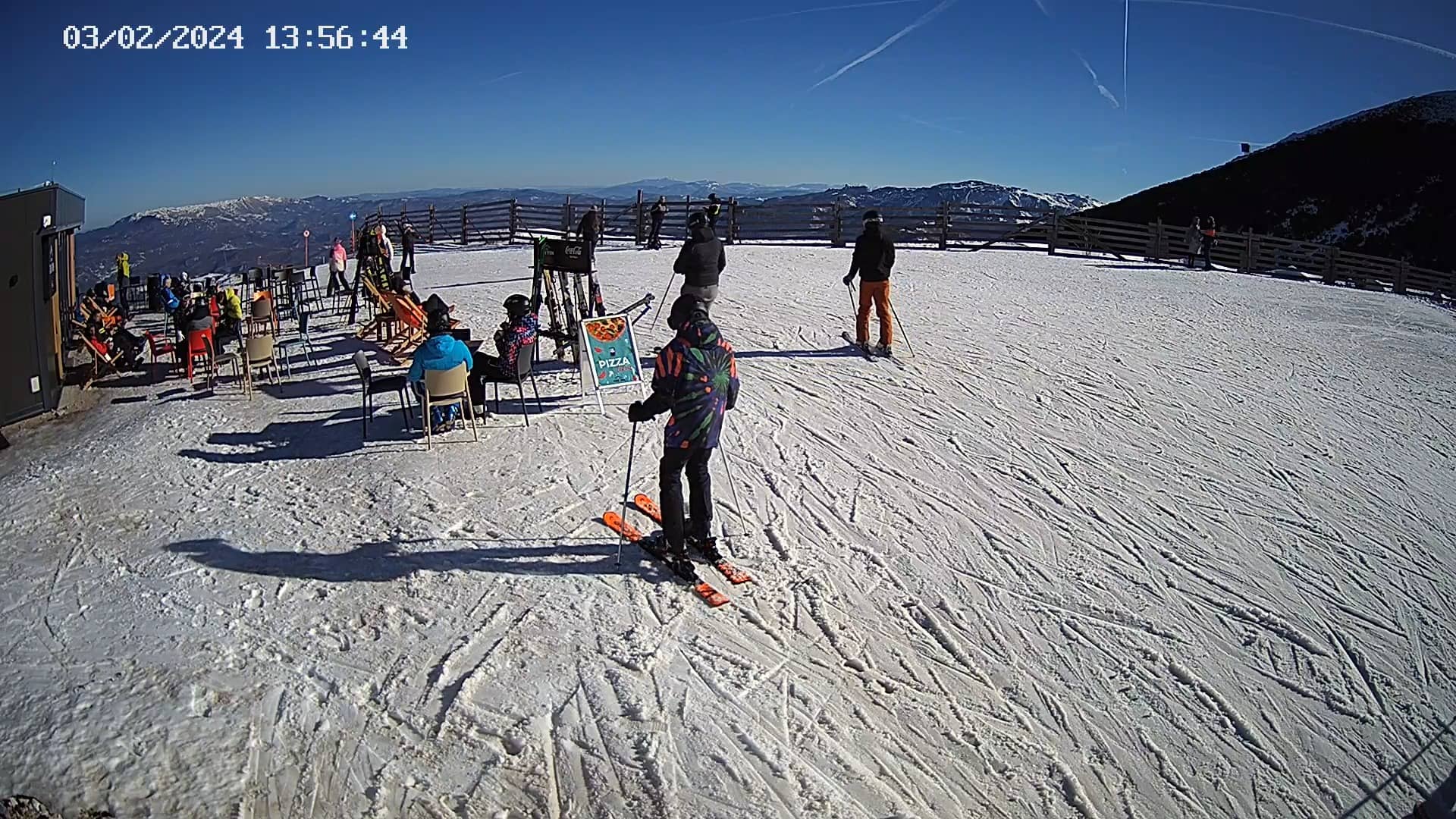
Federation of Bosnia and Herzegovina, Bosnia & Herzegovina — 22 km
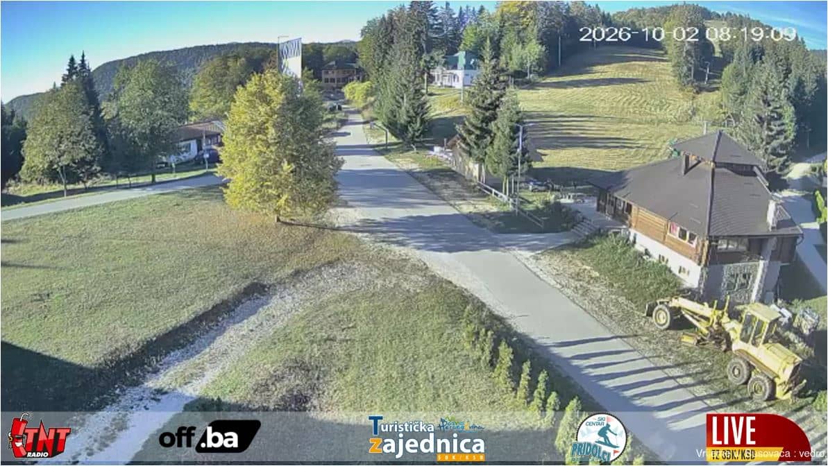
Central Bosnia Canton, Bosnia & Herzegovina — 47 km
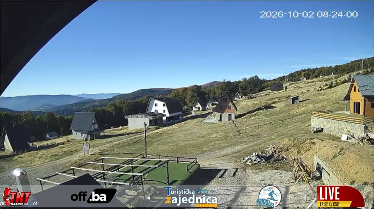
Central Bosnia Canton, Bosnia & Herzegovina — 49 km
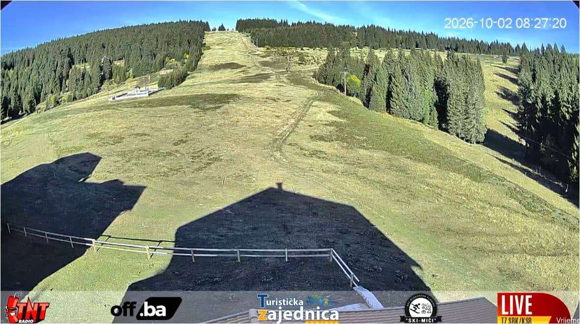
Central Bosnia Canton, Bosnia & Herzegovina — 52 km
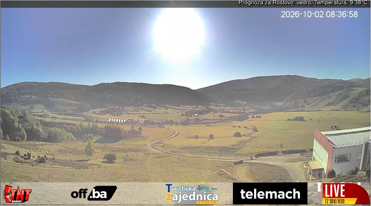
Central Bosnia Canton, Bosnia & Herzegovina — 72 km
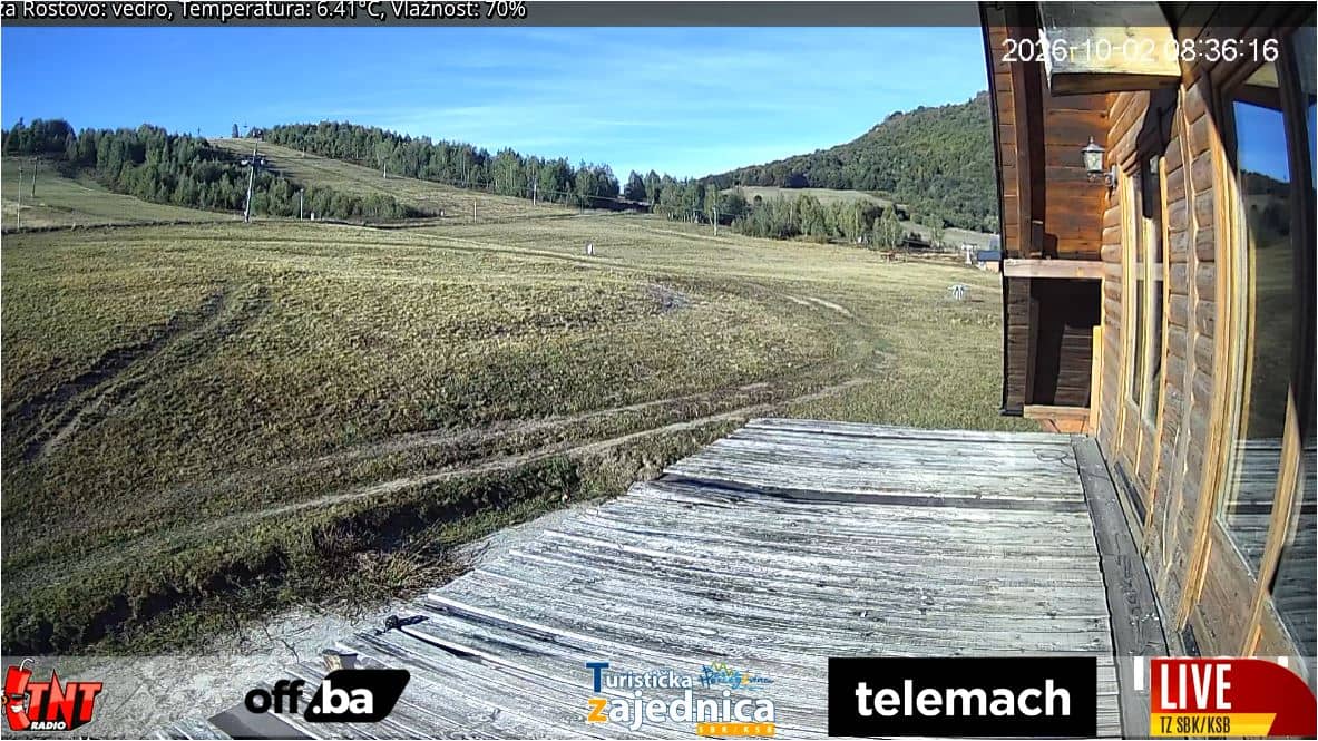
Central Bosnia Canton, Bosnia & Herzegovina — 72 km
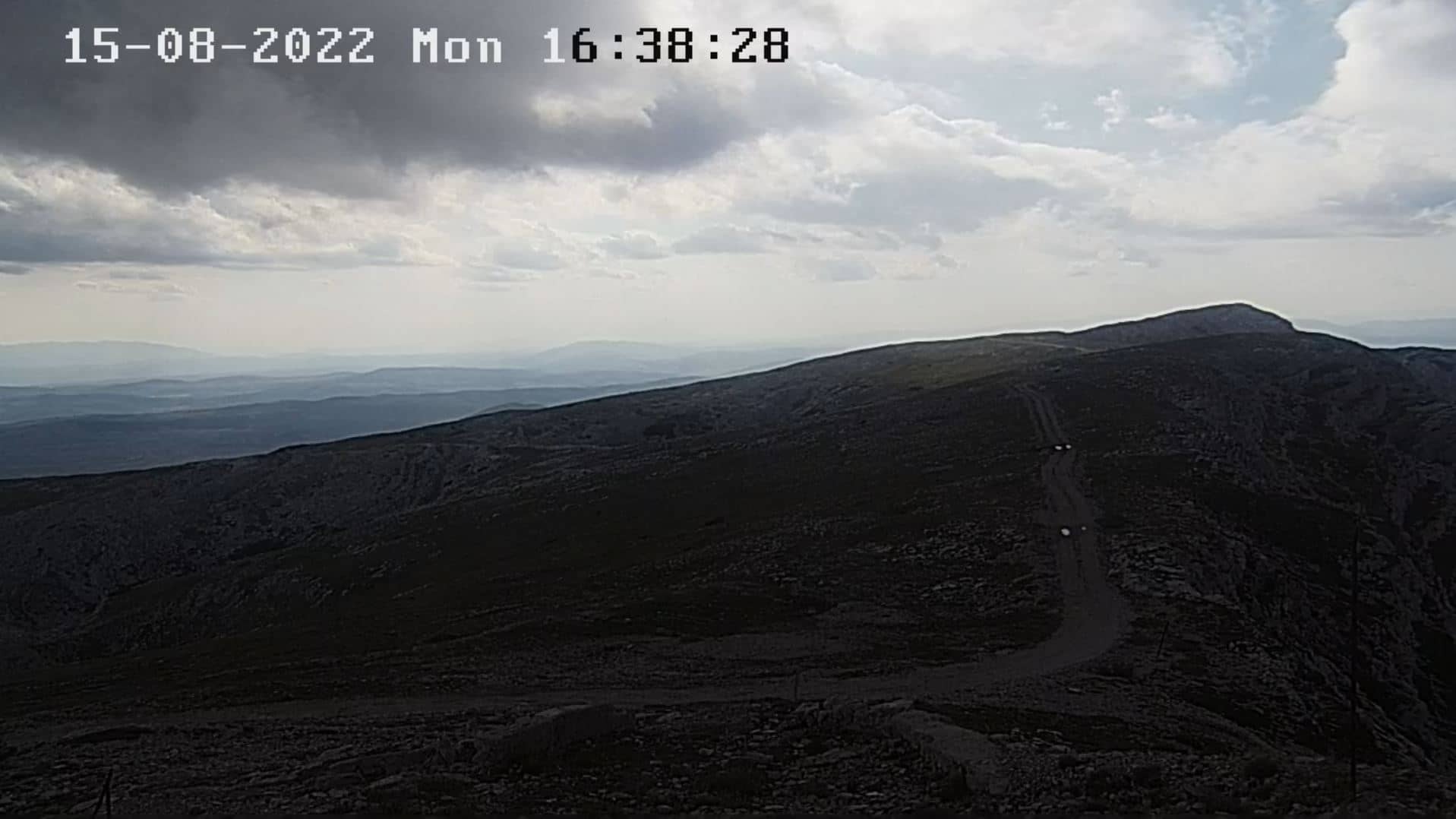
Federation of Bosnia and Herzegovina, Bosnia & Herzegovina — 75 km
Central Bosnia Canton, Bosnia & Herzegovina — 77 km
West Herzegovina Canton, Bosnia & Herzegovina — 89 km
The current conditions and a 3-day forecast for Sarajevo are shown in the weather block on this page, updated with the page. Check it before heading out, since mountain weather nearby can differ noticeably.
The local time for Sarajevo is displayed on this page and updates live. Bosnia and Herzegovina uses Central European Time, so it is typically one hour ahead of UK time in winter.
The camera is in Sarajevo, in the Sarajevo Canton of Bosnia and Herzegovina. The map on this page shows its approximate location in the city.
Early mornings often show haze in the valley, while late afternoon light is typically warm and clear. Weather decides much of what you see, so check the live player at different times.
Partner links: we may earn a commission at no extra cost to you.