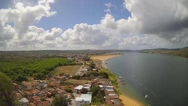
Pão de Açúcar - Cristo Redentor - Leste
Alagoas, Brazil — 0.1 km
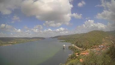
Pão de Açúcar - Cristo Redentor - Oeste
🇧🇷 Alagoas · Brazil — Altitude 42 m
This live stream looks out over Pão de Açúcar, a small town on the São Francisco River in the Brazilian state of Alagoas, from a western vantage point. It is useful for seeing current conditions and sky before planning a trip. The page also gives the local time and the weather forecast for the coming days.
Pão de Açúcar sits in the sertão margins of Alagoas, close to the Atlantic coast and the mouth of the São Francisco. The town is named after the rounded granite peak that rises above the surrounding land, a shape that gives the place its character. Its setting is a mix of low hills, scrubland and riverside settlements, and it is best known as a stop for travellers exploring the state's natural and historic sites.
The view is a live video stream from the western side of the town, so you can follow daylight, cloud and haze as they change through the day. Mornings often bring clearer air, while late afternoon light tends to be warmer and softer. Depending on the view, you may notice river traffic, rooftops or the surrounding hills. Stormy weather in the wet months can bring sudden changes in visibility.
The climate here is hot and fairly humid for most of the year, with the rainy season concentrated in the months from late spring into summer. Cooler and drier periods are generally more comfortable for walking or outdoor plans. The town is reached by road, and several other cameras in the area, including views to the east of the same hill and towns farther away, are listed on this page for comparison.
Source: climaaovivo.com.br
Alagoas, Brazil — 0.1 km

Alagoas, Brazil — 1.7 km

Sergipe, Brazil — 37 km

Sergipe, Brazil — 53 km

Sergipe, Brazil — 60 km

Sergipe, Brazil — 72 km
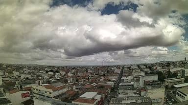
Bahia, Brazil — 93 km

Pernambuco, Brazil — 121 km
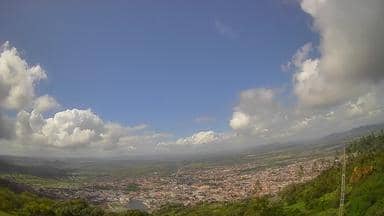
Alagoas, Brazil — 130 km

Sergipe, Brazil — 133 km
The current conditions and a three-day forecast are shown in the live weather block on this page. They update automatically, so you can check the latest temperature and sky before planning.
The local time is displayed in the clock block on this page, based on the town's time zone in Brazil. It shows the current hour so you can match the stream to the time of day.
The camera is located in the town of Pão de Açúcar in Alagoas, Brazil, at an elevation of about 42 metres. The map on this page shows its position and the nearby cameras.
Daylight hours give the clearest view, and early morning or late afternoon often show the most pleasant light. Check the weather block first, since cloud and haze can limit what the stream shows.
Partner links: we may earn a commission at no extra cost to you.