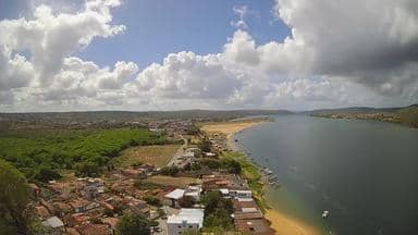
Pão de Açúcar - Cristo Redentor - Leste
Alagoas, Brazil — 1.7 km

Pão de Açúcar - Praça 150 Anos - Oeste
🇧🇷 Alagoas · Brazil — Altitude 21 m
This live stream looks over the square named after the town's 150th anniversary in Pão de Açúcar, a small town on the São Francisco River in Alagoas, northeastern Brazil. It is useful for seeing the current conditions in the town before you plan a trip or check on friends and family there.
Pão de Açúcar sits at about 21 metres above sea level on the banks of the São Francisco, a river that has long shaped life across the Brazilian Northeast. The town is known for its riverside setting, its nearby hills and the Cristo Redentor viewpoint, which gives wide views over the valley. The landscape mixes green river margins with dry, scrubby uplands typical of the region.
The title places the camera on the western side of the 150 Anos square. Depending on the view, you may see the open plaza, local traffic and pedestrians, and the buildings around the centre. Activity tends to be strongest in the cooler morning and late afternoon, when people are out walking. Clouds and rain can change the scene quickly, so the live picture is the best guide to conditions at any given moment.
The climate is hot and tropical semi-arid, with high temperatures through most of the year and a rainier period in the early months. The driest, most comfortable weather tends to come in the second half of the year. Two other cameras from the same town are close by, one at Cristo Redentor on the east and one on the west side, each about 2 km away, so you can compare views from higher ground.
Source: climaaovivo.com.br
Alagoas, Brazil — 1.7 km
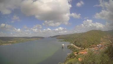
Alagoas, Brazil — 1.7 km

Sergipe, Brazil — 38 km

Sergipe, Brazil — 53 km

Sergipe, Brazil — 59 km

Sergipe, Brazil — 73 km
Bahia, Brazil — 94 km

Pernambuco, Brazil — 122 km
Alagoas, Brazil — 128 km

Sergipe, Brazil — 133 km
The current conditions and a 3-day forecast are shown in the weather block on this page, updated with the page. Check it before you plan an outdoor visit, as the town is hot for much of the year.
The local time for Pão de Açúcar is shown on this page. The town uses the Brazilian time zone for the state of Alagoas.
The camera is on the western side of the Praça 150 Anos in Pão de Açúcar, Alagoas, Brazil, at about 21 metres above sea level. The map on this page shows the exact position.
Mornings and late afternoons are usually the most lively, when people are walking and the light is softer. Weather changes can make any time worthwhile, so check the live picture when you visit.
Partner links: we may earn a commission at no extra cost to you.