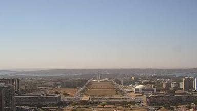
Brasília - Combo Livre - Torre de TV - Esplanada - Leste
Federal District, Brazil — 0.1 km
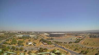
Brasília - Combo Livre - Torre de TV - Mané Garrincha - Noroeste
🇧🇷 Federal District · Brazil — Altitude 1123 m
This live stream is mounted on a tower in Brasília, Brazil's federal capital, and looks out toward the northwest side of the city. It is useful for seeing how the planned capital sits on its high plateau and what the sky is doing right now. Check the live player, then the local time and forecast blocks below.
Brasília is the capital of Brazil, built from the late 1950s as a purpose-designed city on the central highlands of the country. It sits at roughly 1,100 metres above sea level, which makes its climate milder than many Brazilian cities at the same latitude. The city is known for its modernist architecture, wide avenues and large open spaces, and the plan itself is one of the most studied in twentieth-century urban design. The Federal District surrounds the city and includes lakes, parks and cerrado vegetation.
The view is taken from a tower, so it covers the surrounding urban area and the open land beyond the city edge rather than street level. Visibility, haze and cloud shape the picture most, and clear mornings and late afternoons usually give the sharpest light. Dry-season skies are often the clearest, while the rainy months bring towering clouds and sudden storms. Because this is a live stream, conditions can change quickly from one minute to the next.
Brasília has a tropical highland climate with a pronounced dry season from roughly May to September and a wet season from October to April. Days are warm year-round and nights can be cool in the dry months. Nearby cameras on this site include other towers in the Federal District and the neighbouring town of Santo Antônio do Descoberto, about 39 km away, so you can compare views across the region.
Source: climaaovivo.com.br
Federal District, Brazil — 0.1 km
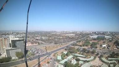
Federal District, Brazil — 0.1 km

Goiás, Brazil — 39 km

Goiás, Brazil — 39 km

Goiás, Brazil — 43 km

Goiás, Brazil — 177 km

Minas Gerais, Brazil — 347 km

Minas Gerais, Brazil — 418 km

Goiás, Brazil — 462 km
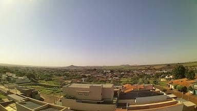
São Paulo, Brazil — 549 km
The current conditions and the three-day forecast are shown in the live weather block on this page. They update automatically, so you can see the latest temperature and sky for the city.
The local time for Brasília is displayed on this page and updates live. Brazil's capital uses Brasília time, which is a fixed offset from UTC with no daylight saving changes.
The camera is on a tower in the northwest part of Brasília, at about 1,120 metres above sea level. The map on this page marks its position within the city.
Early morning and late afternoon usually give the clearest light and the most readable view. In the dry season from May to September, the air is often clearest for distant features.
Partner links: we may earn a commission at no extra cost to you.