
Santo Antônio do Descoberto - Torre Combo Livre - Res. São Francisco - Leste
Goiás, Brazil — 0 km

Santo Antônio do Descoberto - Torre Combo Livre - Setor H. Água Quente - Oeste
🇧🇷 Goiás · Brazil — Altitude 925 m
This camera is mounted on a tower in the western part of Santo Antônio do Descoberto, a town on the edge of the Federal District around Brasília. It gives a live view of the city's western neighbourhoods, useful for seeing how the sky and street activity look right now. Use it to check conditions before travelling in or out of the area.
Santo Antônio do Descoberto lies in the state of Goiás, a short distance from Brasília and close to the Federal District boundary. It sits at roughly 925 metres above sea level, on a plateau of the central Brazilian highlands. The town has grown as a residential and commuter settlement, with many residents travelling daily to the capital for work and study. The surrounding land is a mix of cerrado savanna, farmland and developing neighbourhoods.
The title places this camera on a communications tower in the western sector, so the view is likely to be elevated and wide, covering rooftops, streets and open sky. The most interesting times are usually early morning, when commuter traffic builds, and late afternoon, when the light is warm. In the rainy season, from roughly October to April, afternoon storm clouds can build quickly and change the view within minutes.
The region has a tropical savanna climate with a clear dry season from May to September and a wet season in summer. The dry months are generally the most comfortable for travel, with lower humidity and clearer skies. Another camera from the same operator is located in the eastern residential area of the town, about the same spot, and several cameras in Brasília are a short drive away, for a wider look at the region.
Source: climaaovivo.com.br
Goiás, Brazil — 0 km

Goiás, Brazil — 3.8 km
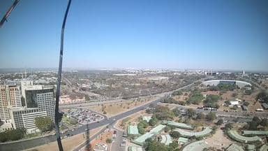
Federal District, Brazil — 39 km
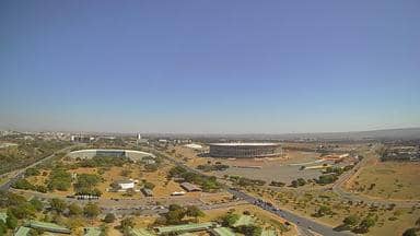
Federal District, Brazil — 39 km
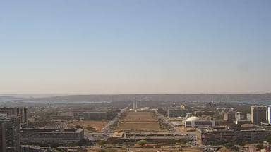
Federal District, Brazil — 39 km

Goiás, Brazil — 138 km

Minas Gerais, Brazil — 350 km

Minas Gerais, Brazil — 420 km

Goiás, Brazil — 424 km
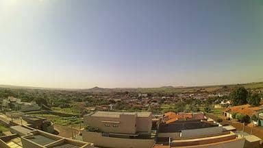
São Paulo, Brazil — 533 km
The current conditions and a three-day forecast are shown in the weather block on this page, updated for the location of the camera. Check it before you plan a trip to the area.
The local time is displayed on this page and follows Brazil's Brasília time zone. It is the same as in Brasília and most of southeastern Brazil.
The camera is on a tower in the western sector of the town, near the Setor H. Água Quente area. The map on this page shows its position relative to Brasília and nearby cameras.
Early mornings and late afternoons are usually the most active, with traffic and changing light. During the wet season, watch for afternoon storm clouds.
Partner links: we may earn a commission at no extra cost to you.