
Santo Antônio do Descoberto - Torre Combo Livre - Res. São Francisco - Leste
Goiás, Brazil — 3.8 km

Santo Antônio do Descoberto - Sede da Combo Livre - Centro - Sudeste
🇧🇷 Goiás · Brazil — Altitude 938 m
This live stream looks over the centre of Santo Antônio do Descoberto, a town in Goiás state on the edge of the Brazilian capital region. It is a practical window onto everyday city life and the conditions over the town. Watch it to check the sky before heading out or to get a feel for the local rhythm.
Santo Antônio do Descoberto sits in the highlands of central Brazil at roughly 940 metres above sea level, in the state of Goiás. It lies close to Brasília and is part of the wider metropolitan area that grows along the main roads leading into the federal capital. Much of the surrounding land is open cerrado, the savanna-like landscape typical of the region, with gentle hills and wide horizons. The town has developed quickly in recent decades, mixing residential neighbourhoods with commercial streets and services for commuters.
The camera is listed under the city category and is titled after the local Combo Livre headquarters in the centre district, so expect a view of urban streets and buildings rather than countryside. Depending on the angle, you may see traffic, pedestrians, shopfronts and the changing light over rooftops. Mornings and late afternoons are usually the most readable times, when shadows are long and activity along the streets is steady. Heavy rain can blur the image, so check the live weather block on the page if visibility matters.
The area has a tropical highland climate with a clear dry season from roughly May to September, when days are sunny and nights are cool, and a wet season from October to April with frequent afternoon storms. The dry months are generally the most comfortable for visiting. Brasília is about 43 kilometres away and offers the nearest major airport and bus connections. Two other cameras in the same town, located in the Res. São Francisco and Setor H. Água Quente districts, are a few kilometres from here and show different neighbourhoods.
Source: climaaovivo.com.br
Goiás, Brazil — 3.8 km

Goiás, Brazil — 3.8 km
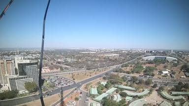
Federal District, Brazil — 43 km
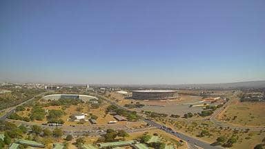
Federal District, Brazil — 43 km
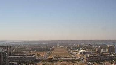
Federal District, Brazil — 43 km

Goiás, Brazil — 135 km

Minas Gerais, Brazil — 351 km

Goiás, Brazil — 421 km

Minas Gerais, Brazil — 421 km
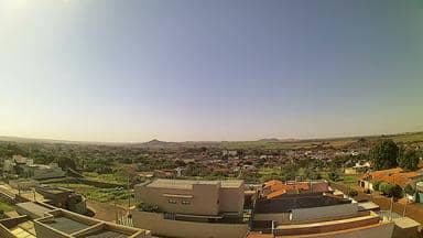
São Paulo, Brazil — 533 km
The live weather block on this page shows the current conditions and a three-day forecast for the town, updated automatically. Check it before deciding whether the camera view will be clear.
The page displays the current local time for the town, which follows Brazil's Brasília time zone. The clock updates continuously alongside the live stream.
The camera is in the central district of Santo Antônio do Descoberto, in Goiás state, Brazil, at about 938 metres altitude. The map on this page marks its position within the town.
Early morning and late afternoon usually give the clearest light and the most street activity. During the rainy season, watch in the late morning, since storms often build in the afternoon.
Partner links: we may earn a commission at no extra cost to you.