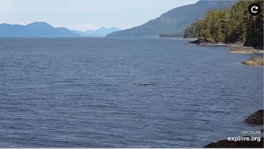
Hanson Island
British Columbia, Canada — 2.1 km
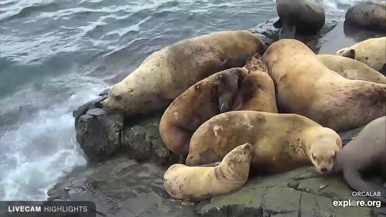
Port McNeill - Sea Lion Beach at OrcaLab
🇨🇦 British Columbia · Canada — Altitude 4 m
This live stream shows a beach on the northern tip of Vancouver Island, linked to the OrcaLab research station that studies killer whales. It is a useful window onto the coastal conditions of this remote part of British Columbia. Watch it to see the water and shoreline as they are now.
Port McNeill is a small harbour town on the northeast coast of Vancouver Island, in British Columbia. It grew up around forestry and fishing and remains a base for boating, kayaking and wildlife trips into the Broughton Archipelago. The surrounding landscape is dense coastal forest running down to a maze of channels, islands and inlets. Settlements are small and far apart, so the sea and the wild shoreline dominate the view.
The camera is positioned on a beach that gives a view of the water and the rocky shore, and the source describes the area as a place where sea lions gather. Depending on the tide and the time of year, you may see animals resting on the rocks or moving through the water. Conditions change a lot with the weather, so mornings with calm water and late afternoons with low light are often the most rewarding times to look.
The Pacific coast of northern Vancouver Island is cool and wet for much of the year, with the driest and mildest weather usually in summer. Plan layers and waterproof clothing whatever the season. Nearby, Hanson Island lies just across a short stretch of water, and the Mount Washington cameras show the mountain conditions further inland.
Source: explore.org
British Columbia, Canada — 2.1 km

British Columbia, Canada — 135 km

British Columbia, Canada — 136 km
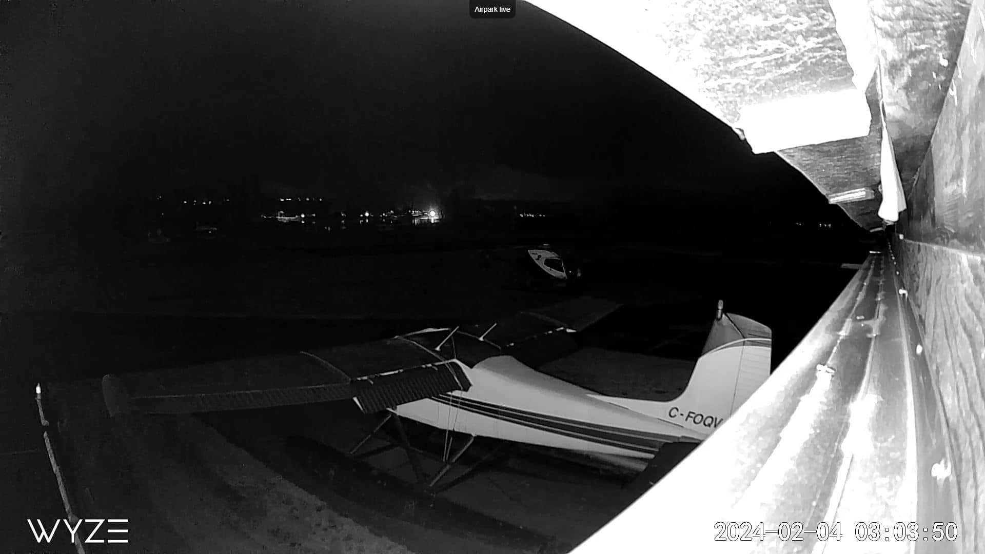
British Columbia, Canada — 160 km
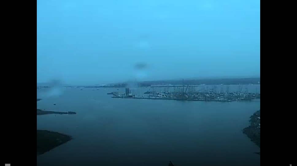
British Columbia, Canada — 162 km
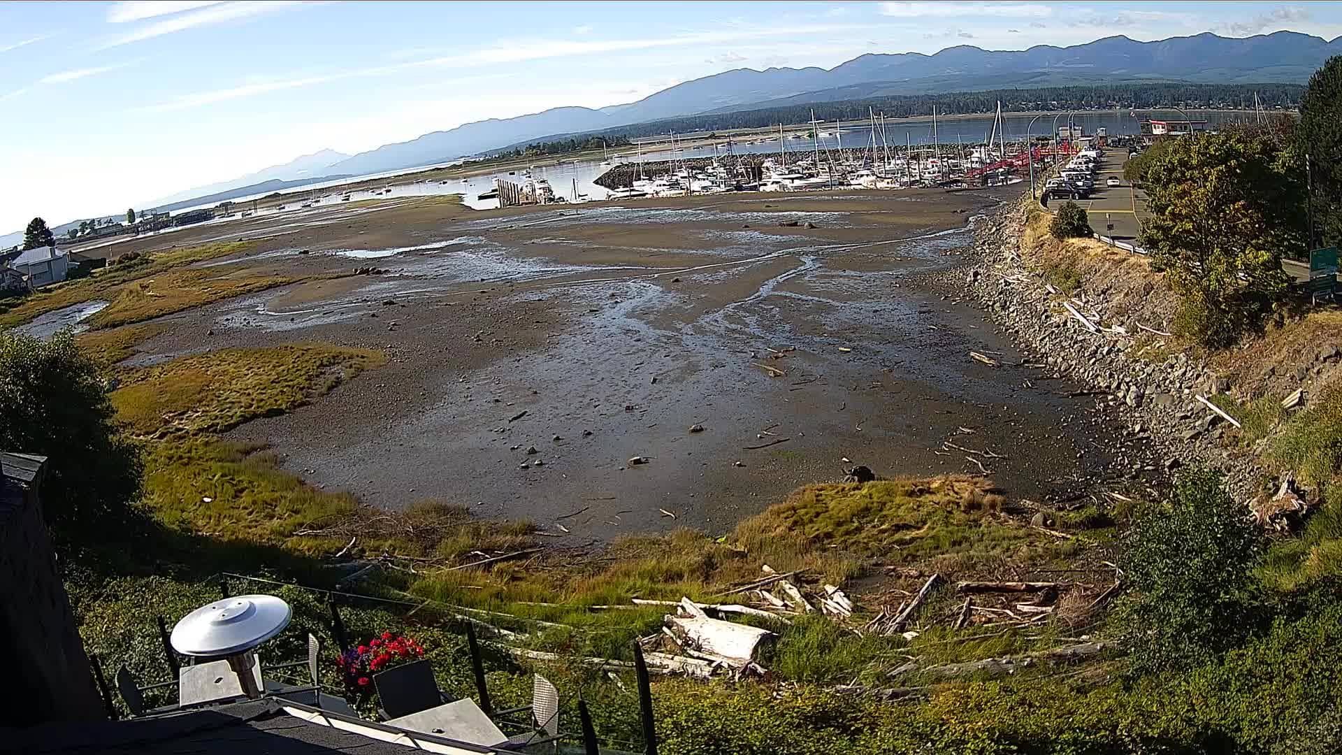
British Columbia, Canada — 162 km
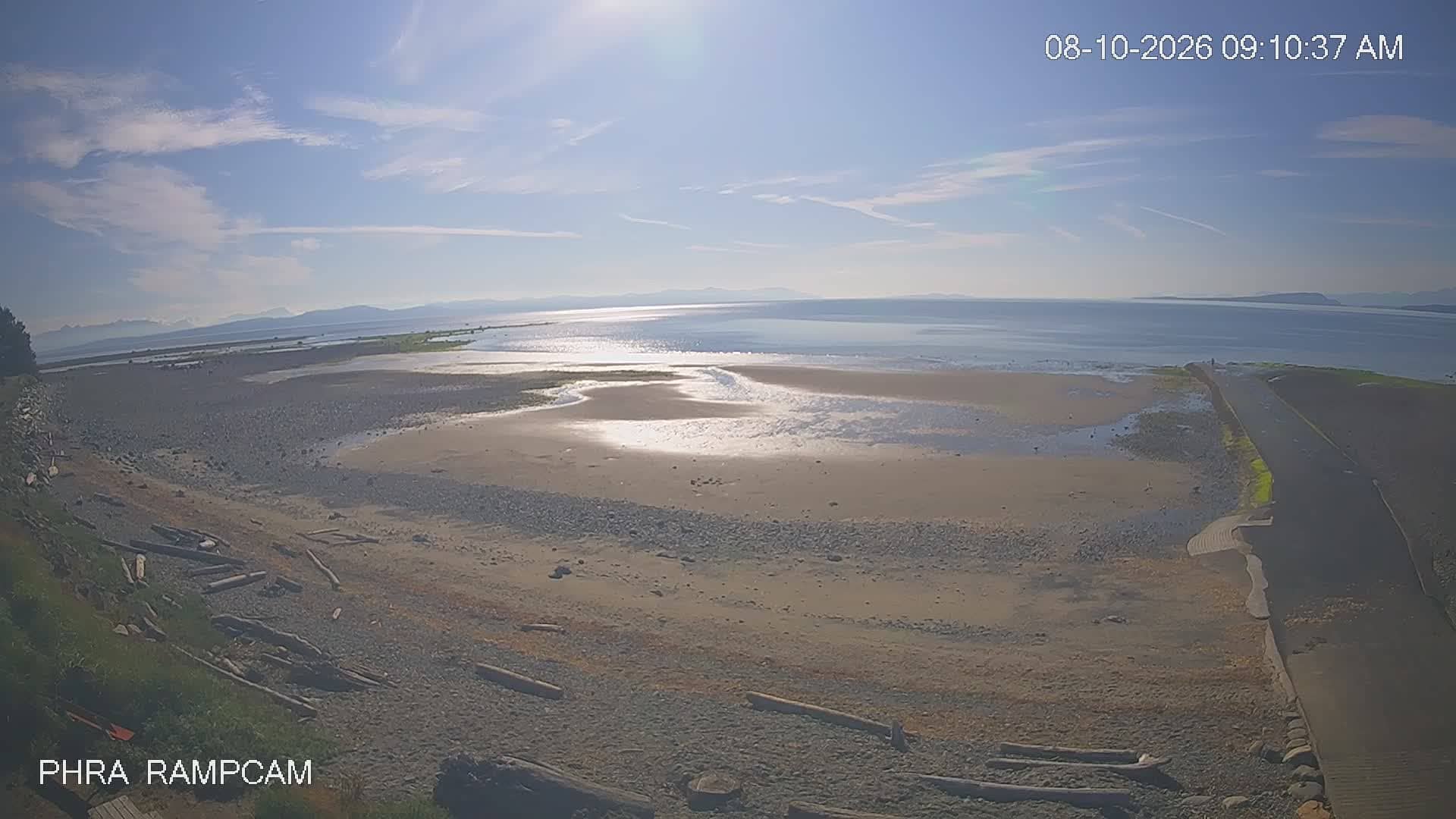
British Columbia, Canada — 164 km
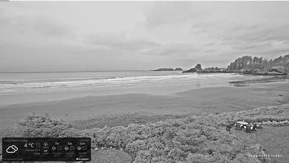
British Columbia, Canada — 174 km
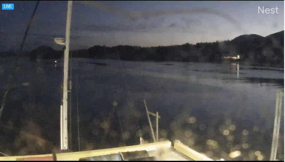
British Columbia, Canada — 199 km

British Columbia, Canada — 200 km
The current conditions and a 3-day forecast for Port McNeill are shown in the weather block on this page. They update on their own, so check there for the latest temperature, wind and rain.
The local time for Port McNeill is shown on this page and follows the Pacific time zone used in British Columbia. Use it to judge whether it is currently day or night at the beach.
The camera is at the OrcaLab research area near Port McNeill, on the northeast coast of Vancouver Island. The map on this page marks its location at about 50.57 north and 126.71 west.
Early morning and late afternoon often give the clearest light and calmest water. Tides and season affect what is visible, so the best time depends on conditions that day.
Partner links: we may earn a commission at no extra cost to you.