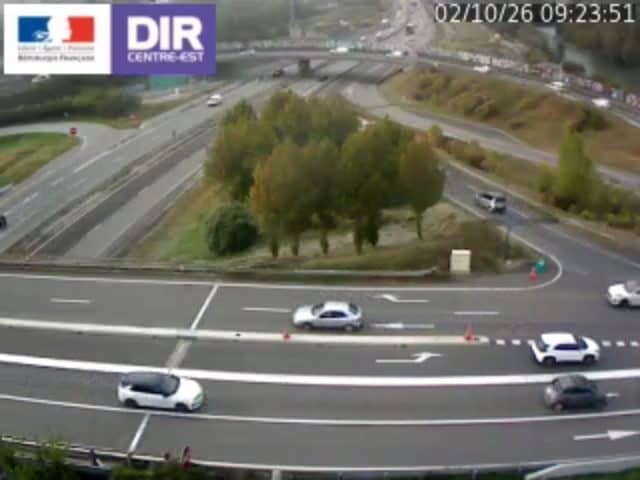
Grenoble - Rondeau A480 PR7+384
Auvergne-Rhône-Alpes, France — 16 km
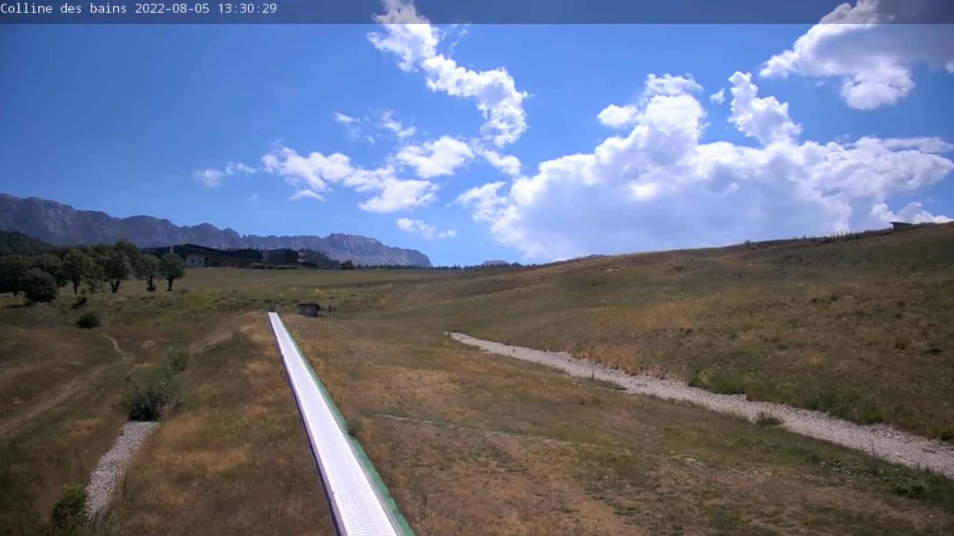
Villard-de-Lans
🇫🇷 Auvergne-Rhône-Alpes · France — Altitude 1003 m
This live camera looks out over Villard-de-Lans, a town in the Vercors massif near Grenoble in southeastern France. It is a useful window for judging the mountain conditions and the sky before you plan a walk, a drive or a day on the slopes.
Villard-de-Lans sits at about 1,000 metres above sea level on a plateau surrounded by limestone cliffs and forested ridges. It is one of the main gateways to the Vercors Regional Natural Park, known for its gorges, caves, karst landscapes and marked trails. The town grew up around winter sports and summer hiking, and it still has the feel of a working alpine village with a central square and wooden chalets on its edges.
Because the camera is pointed at a mountain town, the view mainly changes with the weather and the seasons. Clear mornings often bring crisp light on the surrounding ridges, while cloud banks drifting over the cliffs can show how quickly conditions shift. In winter, fresh snow on the rooftops and slopes is the most striking sight, and in summer the greens are at their fullest. Check the live picture and the weather block together before deciding how your day will go.
Winters are cold with regular snow, and summers are mild and pleasant, often cooler than the valleys below. Spring can be wet, and the trails may stay muddy for a while after the thaw. Nearby cameras include Gresse-en-Vercors, about 19 km away, and the higher resorts of Alpe d'Huez and Les Deux Alpes, roughly 44 to 46 km off, which help you compare conditions across the region.
Source: Webcam Villard de Lans
Auvergne-Rhône-Alpes, France — 16 km
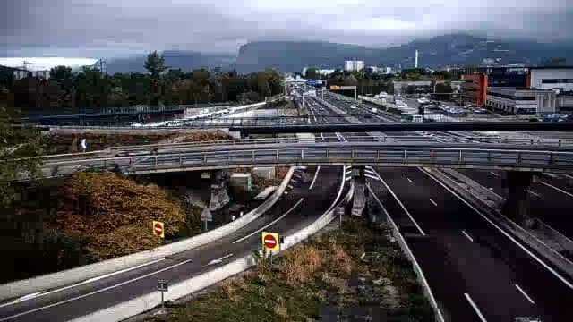
Auvergne-Rhône-Alpes, France — 16 km
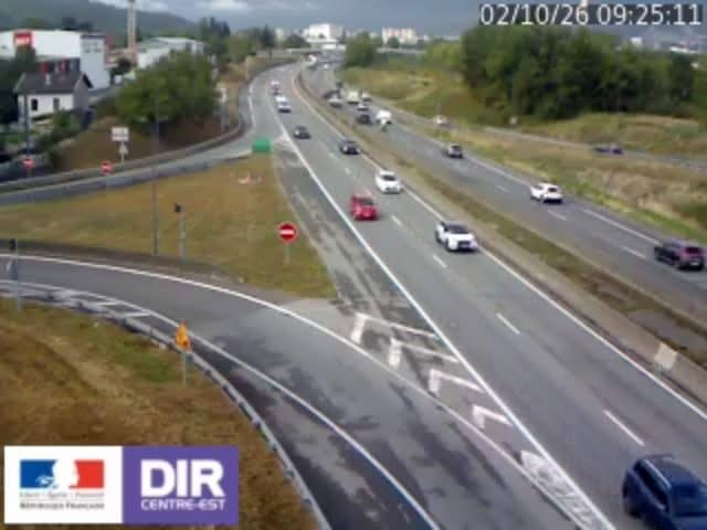
Auvergne-Rhône-Alpes, France — 18 km
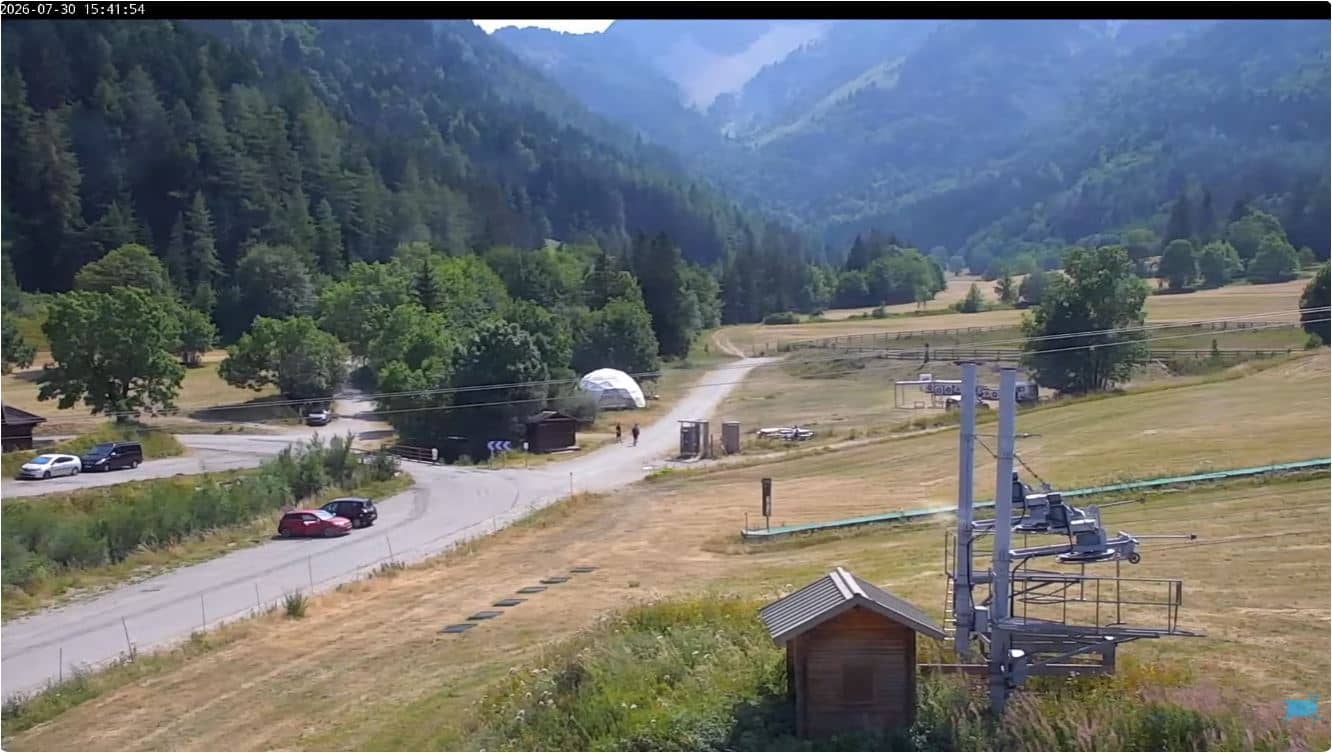
Auvergne-Rhône-Alpes, France — 19 km

Auvergne-Rhône-Alpes, France — 19 km

Auvergne-Rhône-Alpes, France — 23 km
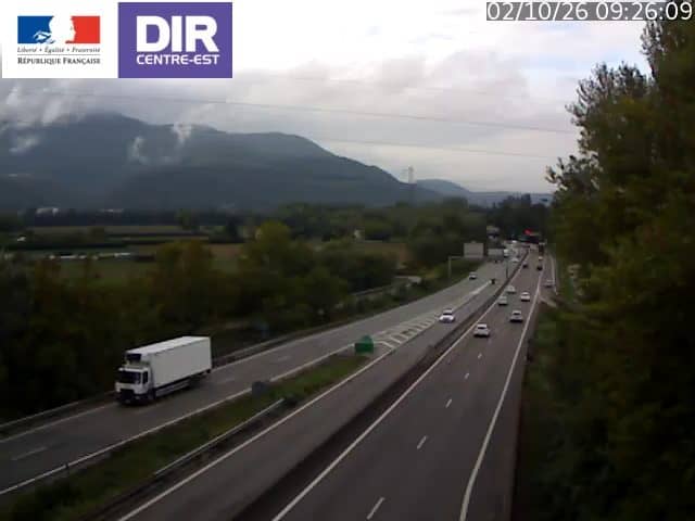
Auvergne-Rhône-Alpes, France — 24 km

Auvergne-Rhône-Alpes, France — 24 km
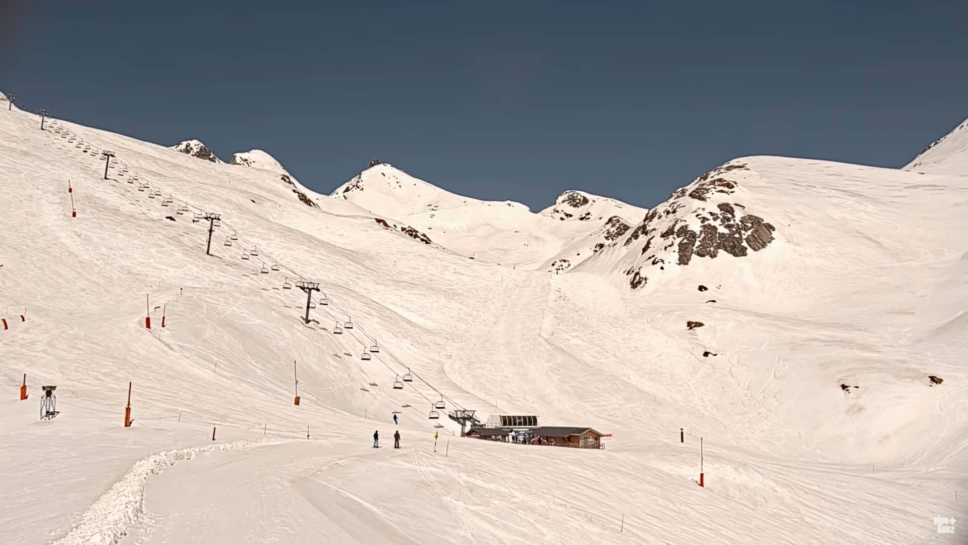
Auvergne-Rhône-Alpes, France — 44 km
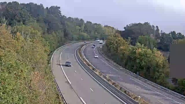
Auvergne-Rhône-Alpes, France — 44 km
The current conditions and a three-day forecast are shown in the weather block on this page. They update with the latest available data for the town.
The local time is displayed on this page and follows the French clock, so it is easy to check before you plan a call or a visit.
The camera is in Villard-de-Lans in the Vercors area of Auvergne-Rhône-Alpes, France, at roughly 1,000 metres altitude. The map on this page shows its location.
Mornings and clear days usually give the sharpest view of the ridges, while winter is best for seeing snow. The live stream is available whenever the source is online.
Partner links: we may earn a commission at no extra cost to you.