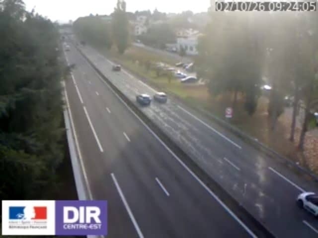
Chambon - N88 PR45+827
Auvergne-Rhône-Alpes, France — 6.7 km
The camera is temporarily offline
The owner's stream is not available right now. Try again later or watch a camera nearby.
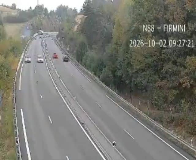
Firminy - N88
🇫🇷 Auvergne-Rhône-Alpes · France
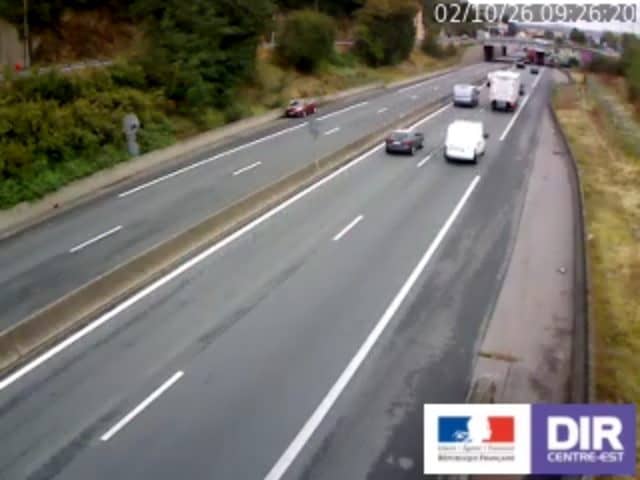
This live camera watches the N88 road at Firminy, a town in the Loire valley south-east of Saint-Étienne. It is useful for checking traffic flow before setting off on this route through the Forez hills. The page also gives you local time and current weather for the town.
Firminy sits in the Loire department, at the edge of the Forez area where the wide valley of the Loire meets the hills rising towards the Massif Central. The town grew around industry and mining in the Stéphanois basin and is known today for its modern architecture, notably the buildings by Le Corbusier. The surrounding landscape mixes wooded slopes, farmland and small villages, which gives the road a varied character.
The camera is part of the national traffic monitoring network and is aimed at the N88 road, so its main purpose is to show the state of the traffic rather than scenery. Watching it in the early morning or late afternoon on weekdays is most informative, when commuter flows between Saint-Étienne and nearby communes are heaviest. Weather such as rain, fog or snow on the hills can noticeably change conditions, so it is worth checking before a long journey.
The area has a temperate climate with cool winters and warm summers, and the hills can be colder and wetter than the valley floor, so roads may be slippery in winter. Other traffic cameras nearby include Chambon on the N88, about 7 km away, and Saint-Jean-Bonnefonds, roughly 16 to 18 km distant, which cover other stretches of road in the region. Gimel-le-Haut, about 20 km away, is another useful point of reference for the route.
Source: bison-fute.gouv.fr
Auvergne-Rhône-Alpes, France — 6.7 km

Auvergne-Rhône-Alpes, France — 16 km
Auvergne-Rhône-Alpes, France — 18 km

Auvergne-Rhône-Alpes, France — 20 km
Auvergne-Rhône-Alpes, France — 21 km
Auvergne-Rhône-Alpes, France — 35 km
Auvergne-Rhône-Alpes, France — 37 km
Auvergne-Rhône-Alpes, France — 40 km
Auvergne-Rhône-Alpes, France — 45 km
Auvergne-Rhône-Alpes, France — 46 km
The current weather and a three-day forecast for Firminy are shown in the live block on this page, updated automatically. Check it before driving the N88 in winter, when hill roads can be icy.
The local time for Firminy is displayed on this page and follows French time, so it is the same as in Paris. The live block updates the clock automatically.
The camera is aimed at the N88 road near Firminy in the Loire department of the Auvergne-Rhône-Alpes region. The map on this page shows its position at approximately 45.37 N, 4.25 E.
Weekday mornings and late afternoons are usually the busiest, when commuters travel between Firminy and Saint-Étienne. The stream is provided by its source, so check the link to the owner for the latest details.
Partner links: we may earn a commission at no extra cost to you.