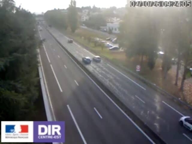
Chambon - N88 PR45+827
Auvergne-Rhône-Alpes, France — 17 km
🇫🇷 Auvergne-Rhône-Alpes · France — Altitude 1212 m
This live camera looks out from Gimel-le-Haut, a small mountain village at about 1,200 metres in the Auvergne-Rhône-Alpes region of central France. It is a useful window for anyone planning a trip to the high Loire uplands or simply curious about mountain weather. The stream is provided by its owner and embedded here in HD.
Gimel-le-Haut sits in the hills of the Monts du Forez, a range of granite plateaus, pastures and forest that rises between the Loire valley and the Auvergne. Life here is quiet and agricultural, with dairy farming and walking trails shaping the landscape. The altitude means the air is cooler than in the valleys below, and wide views open toward the surrounding ridges on clear days.
Because the camera is set in an open mountain landscape, the most rewarding moments tend to be early morning, when mist may lie in the valleys, and late afternoon, when the light lengthens across the slopes. Cloud movement and changing weather are often the main subjects of interest. Seasonal shifts matter too: green pasture in spring, deep colours in autumn and snow cover in winter can all change the view considerably. Exact details depend on the view at any given moment.
The Forez uplands have a continental mountain climate with cold winters, snow in the higher areas and mild summers. Late spring through early autumn is generally the most comfortable time to walk. Saint-Étienne, the nearest sizeable city, is roughly twenty kilometres away. Other cameras in the area include Chambon, Saint-Jean-Bonnefonds and Firminy, which give a sense of the wider region.
Source: Gimel Webcam
Auvergne-Rhône-Alpes, France — 17 km
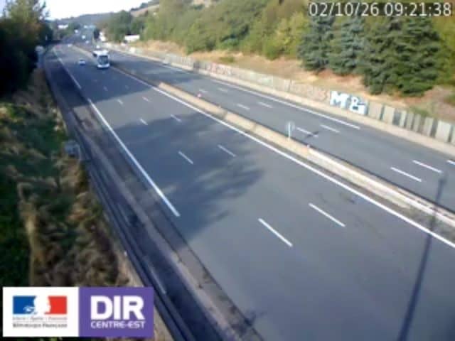
Auvergne-Rhône-Alpes, France — 17 km

Auvergne-Rhône-Alpes, France — 19 km
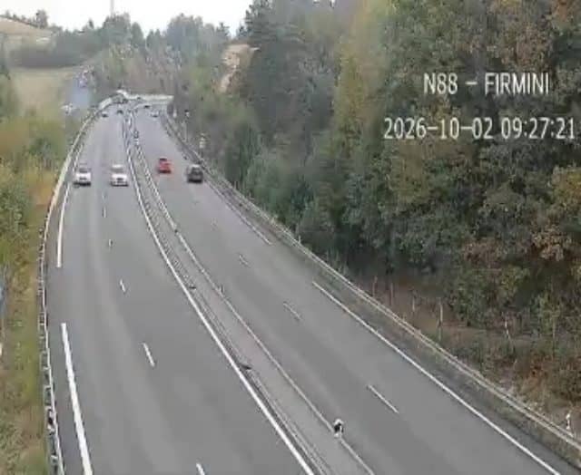
Auvergne-Rhône-Alpes, France — 20 km
Auvergne-Rhône-Alpes, France — 29 km
Auvergne-Rhône-Alpes, France — 30 km
Auvergne-Rhône-Alpes, France — 32 km
Auvergne-Rhône-Alpes, France — 35 km
Auvergne-Rhône-Alpes, France — 39 km
Auvergne-Rhône-Alpes, France — 41 km
The current conditions and a three-day forecast are shown in the weather block on this page, updated for the village's location. Because the site is at around 1,200 metres, temperatures are usually lower than in nearby towns.
The local time for Gimel-le-Haut is shown live on this page, following French time. It updates automatically so you can check it before you watch the stream.
The camera is in the village of Gimel-le-Haut in the Monts du Forez, in the Auvergne-Rhône-Alpes region of France. The map on this page shows its position at roughly 45.29 north and 4.48 east.
Early morning and late afternoon usually offer the most interesting light and possible mist or cloud movement. Clear days give the widest views, while changing weather can make the scene more dramatic.
Partner links: we may earn a commission at no extra cost to you.