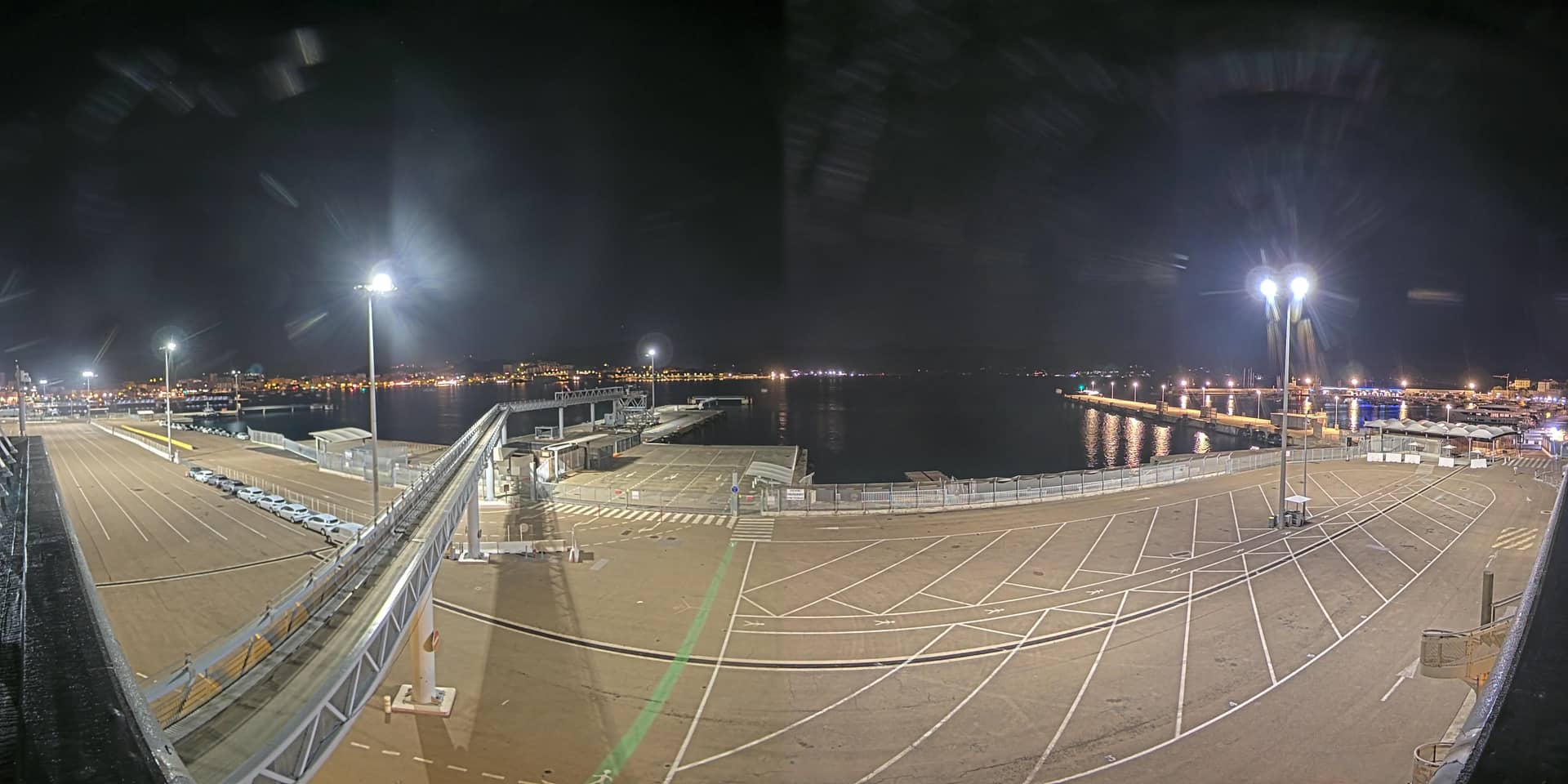
Ajaccio - Port
Corsica, France — 4.5 km
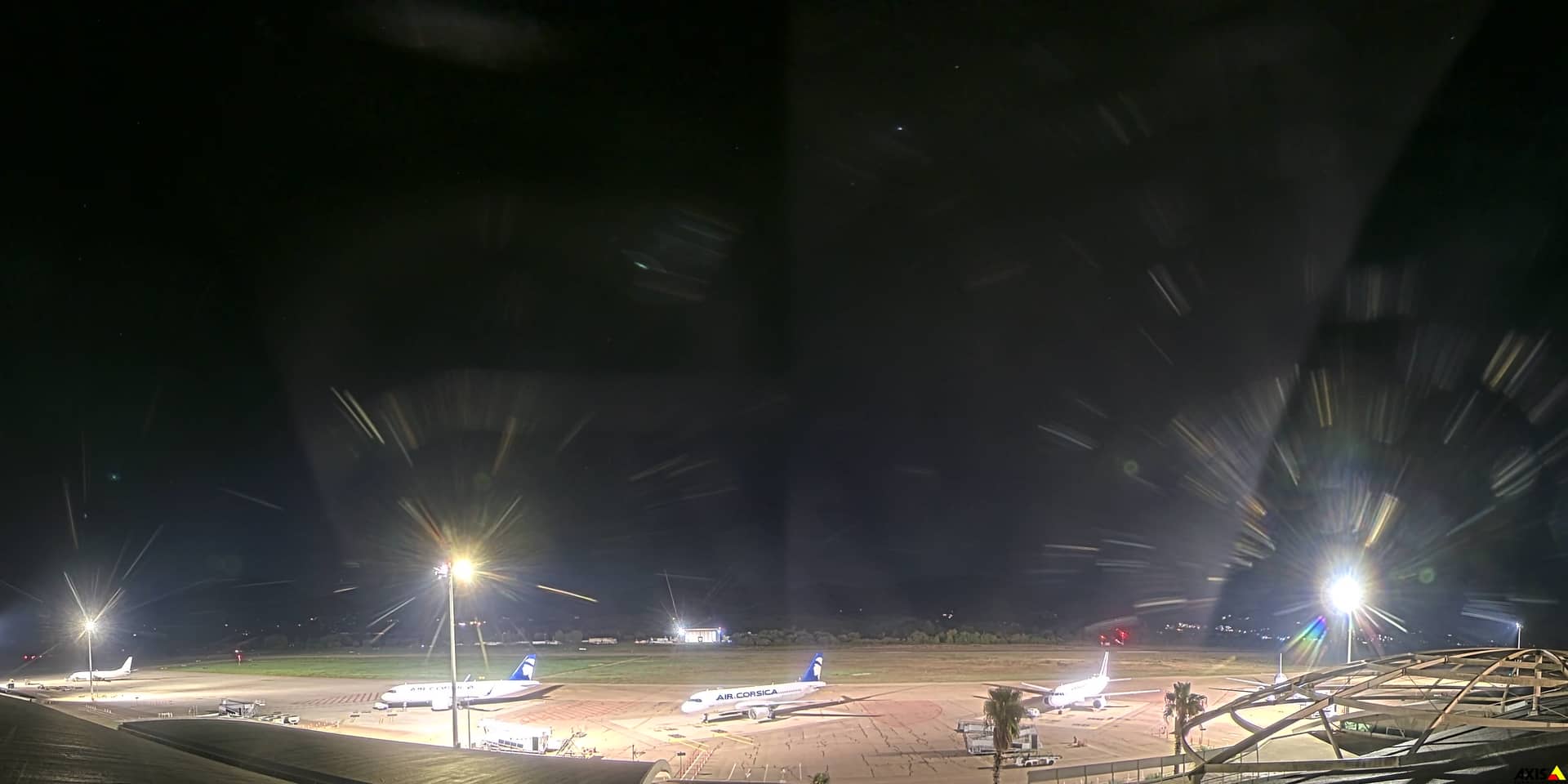
Ajaccio - Aéroport Napoléon Bonaparte
🇫🇷 Corsica · France — Altitude 18 m
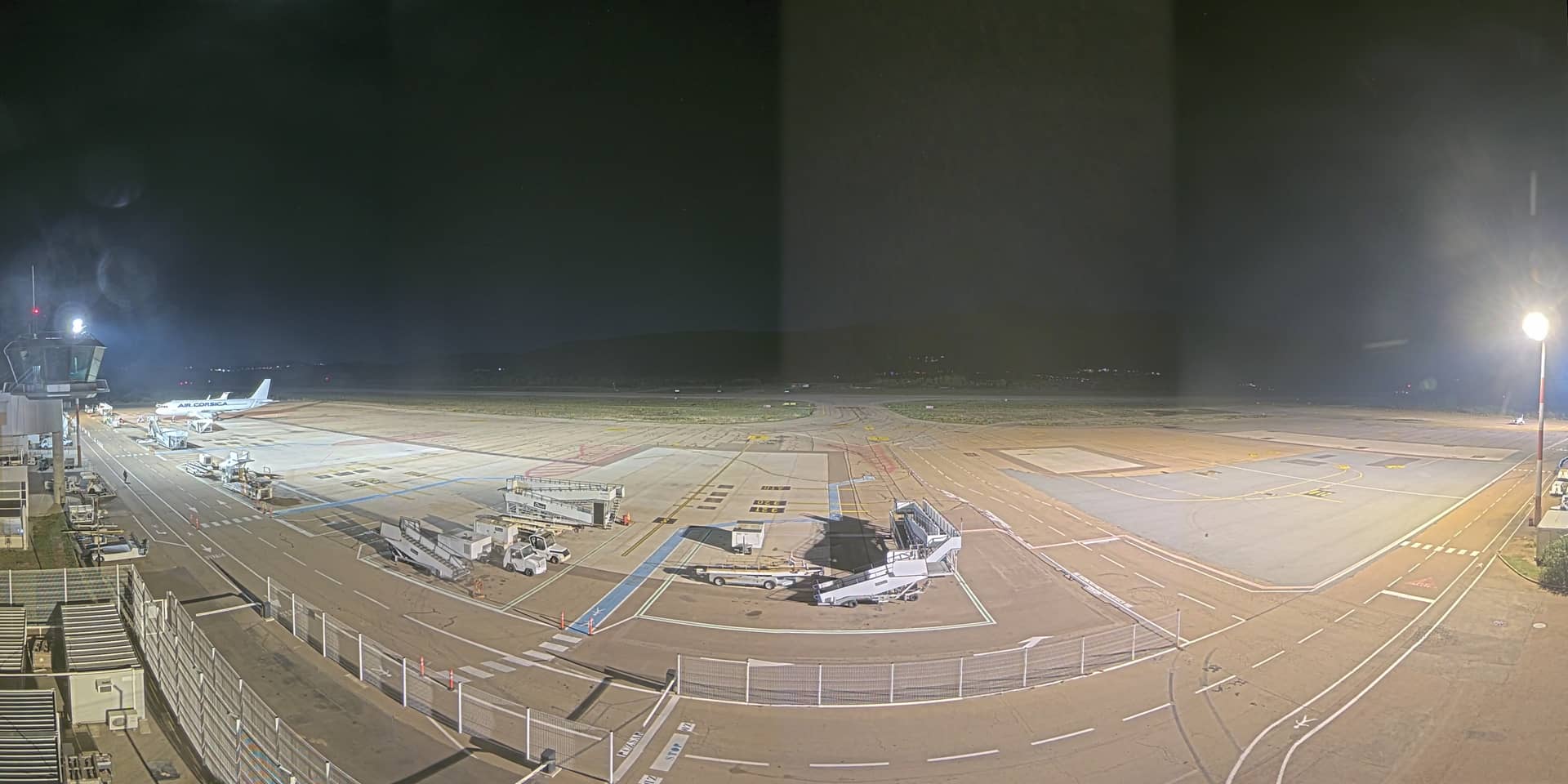
This live stream follows the airport that serves Corsica's main town on the island's west coast. It is a useful window for anyone checking the sky over Ajaccio, watching planes arrive or simply seeing what the weather looks like before a trip to the island.
Ajaccio is the capital of Corsica, set around a deep gulf framed by granite mountains and the maquis scrubland that covers much of the island. The city is the birthplace of Napoléon Bonaparte, which is why the airport carries his name. Its position on the Mediterranean gives the surroundings a clear, sunny character for much of the year, with the sea and hills visible from many points around town.
The stream is titled after the airport, so it is most likely to show the runway area, apron and surrounding terrain, though the exact view depends on the camera's position. Mornings and late afternoons often bring the clearest light and the softest shadows on the hills. Watching during the arrival and departure peaks gives the most activity, while clouds or sea mist can reduce visibility at any hour.
Ajaccio enjoys mild winters and hot, dry summers, and spring and autumn are often the most comfortable seasons for walking and sightseeing. The airport lies a short drive from the town centre and the port, and several other cameras from the area are linked from this page, including views of the harbour and the town panorama. Checking the live weather here before you fly can help you plan your day.
Source: CCI Corsica
Corsica, France — 4.5 km
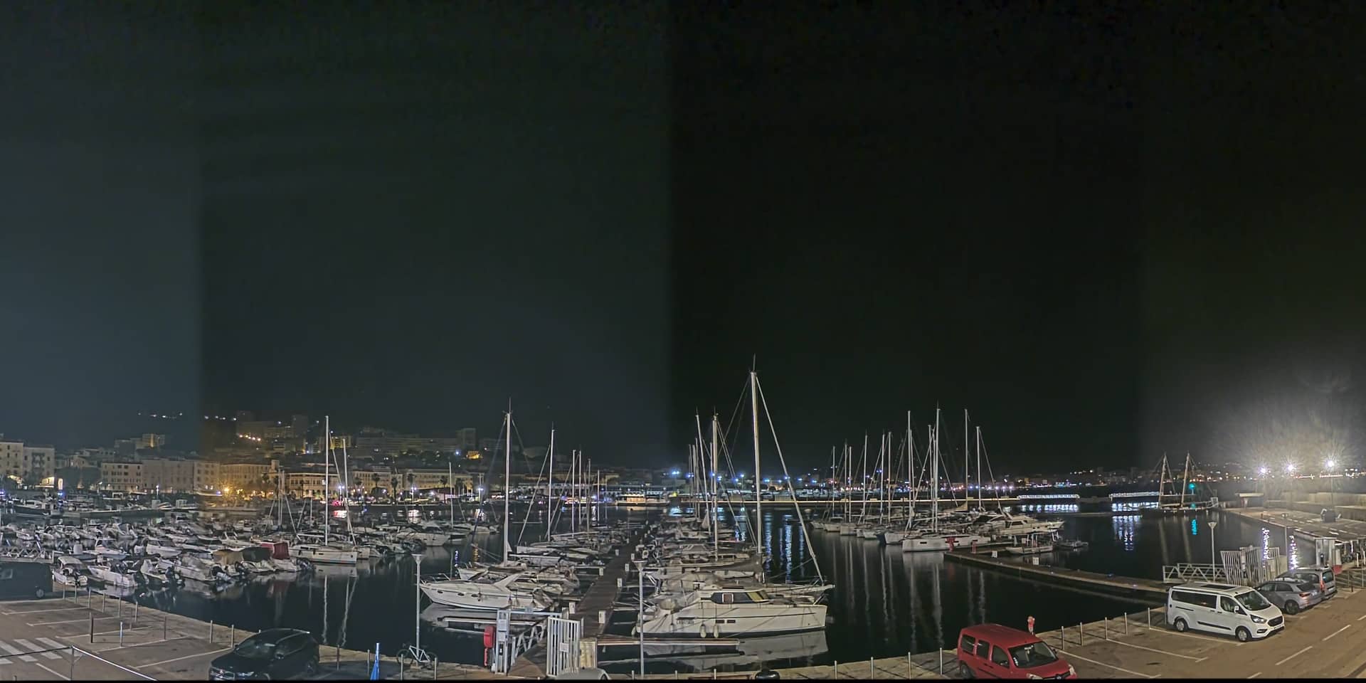
Corsica, France — 4.6 km
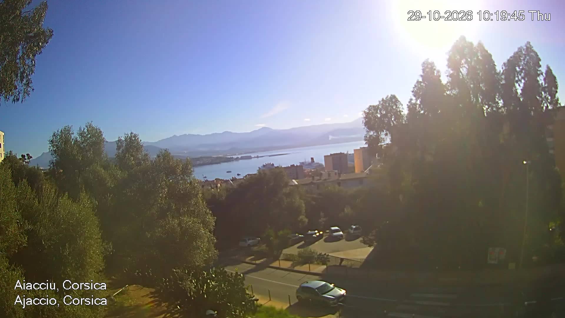
Corsica, France — 5.4 km
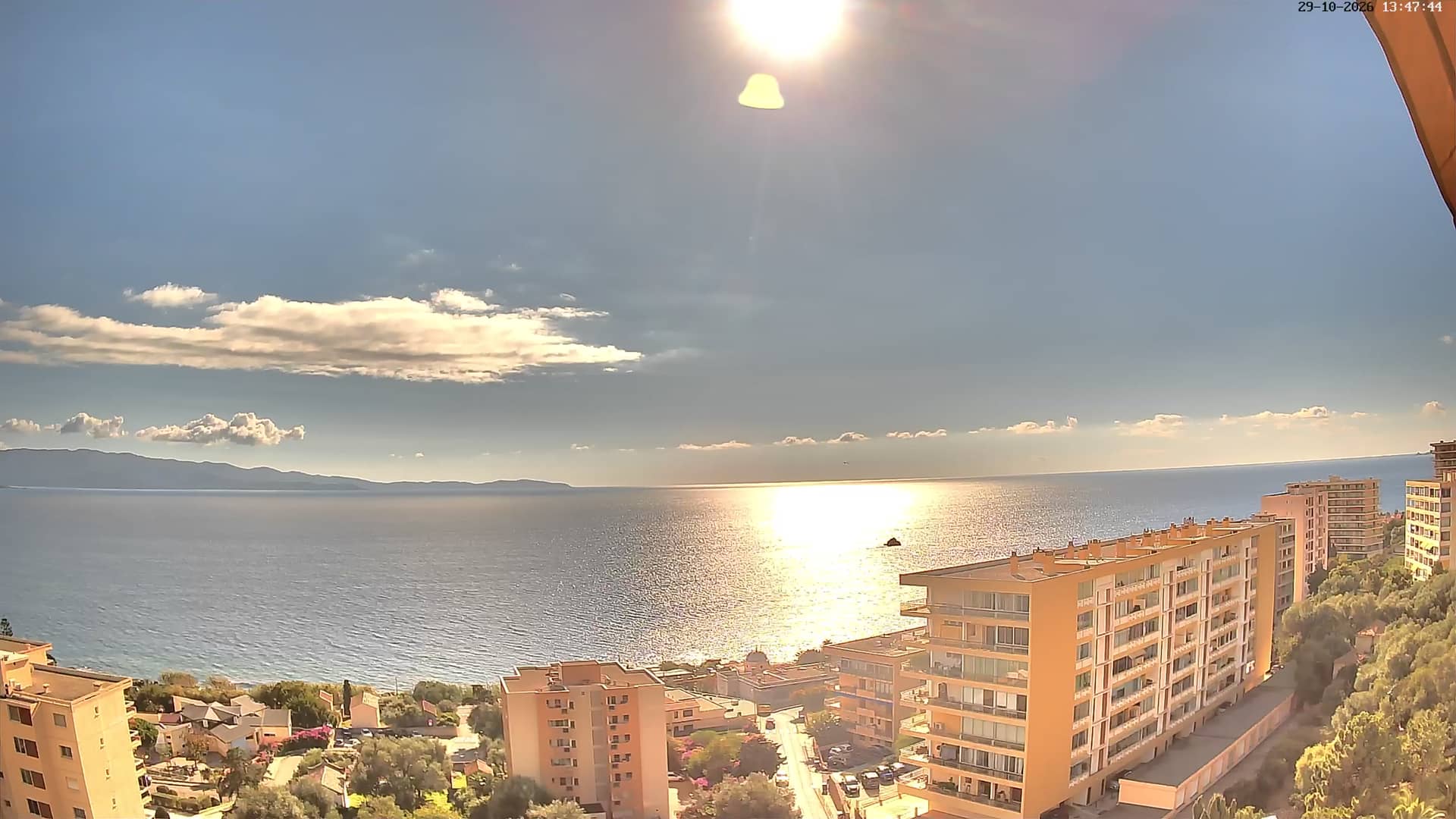
Corsica, France — 7.1 km
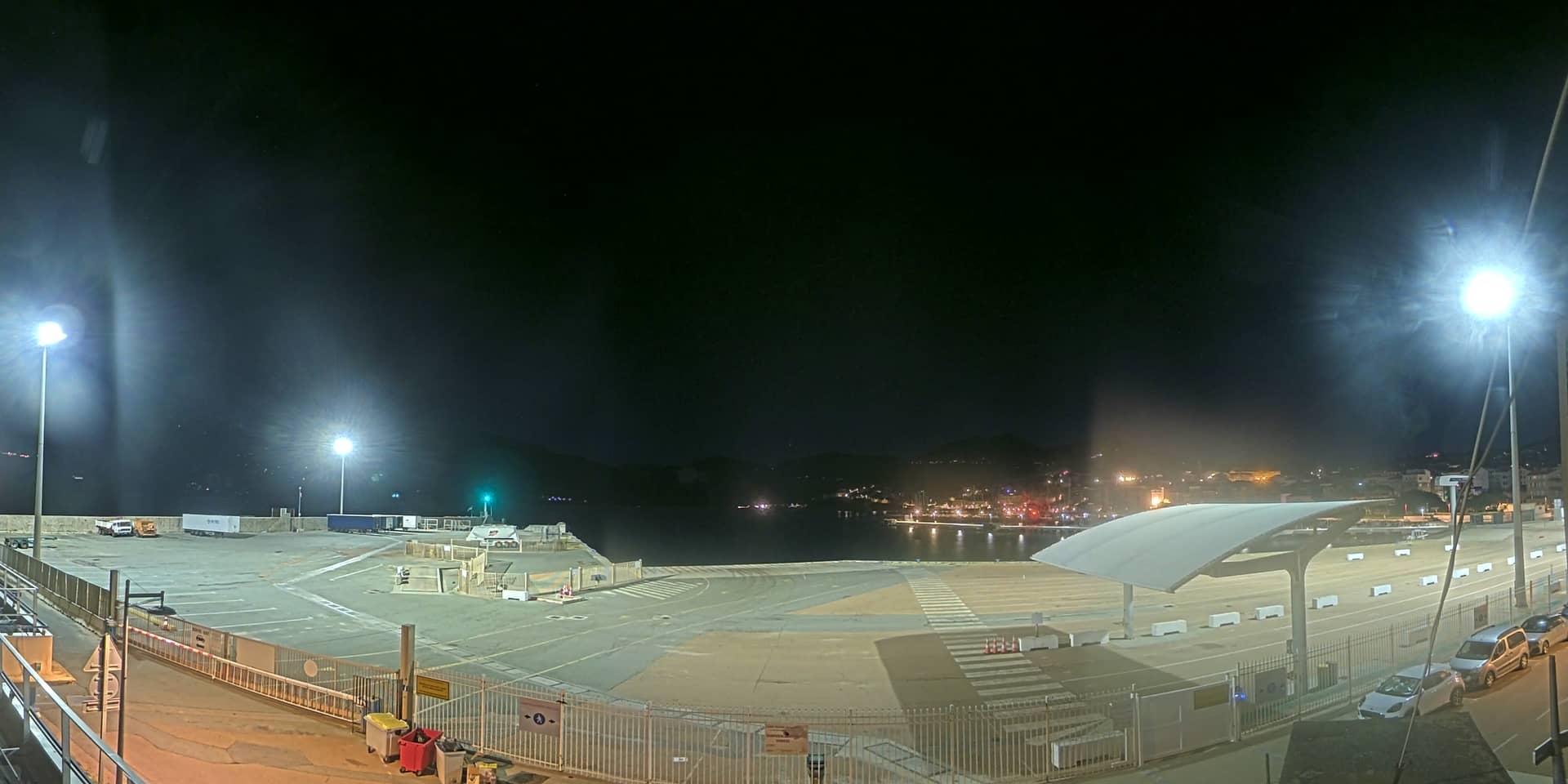
Corsica, France — 28 km
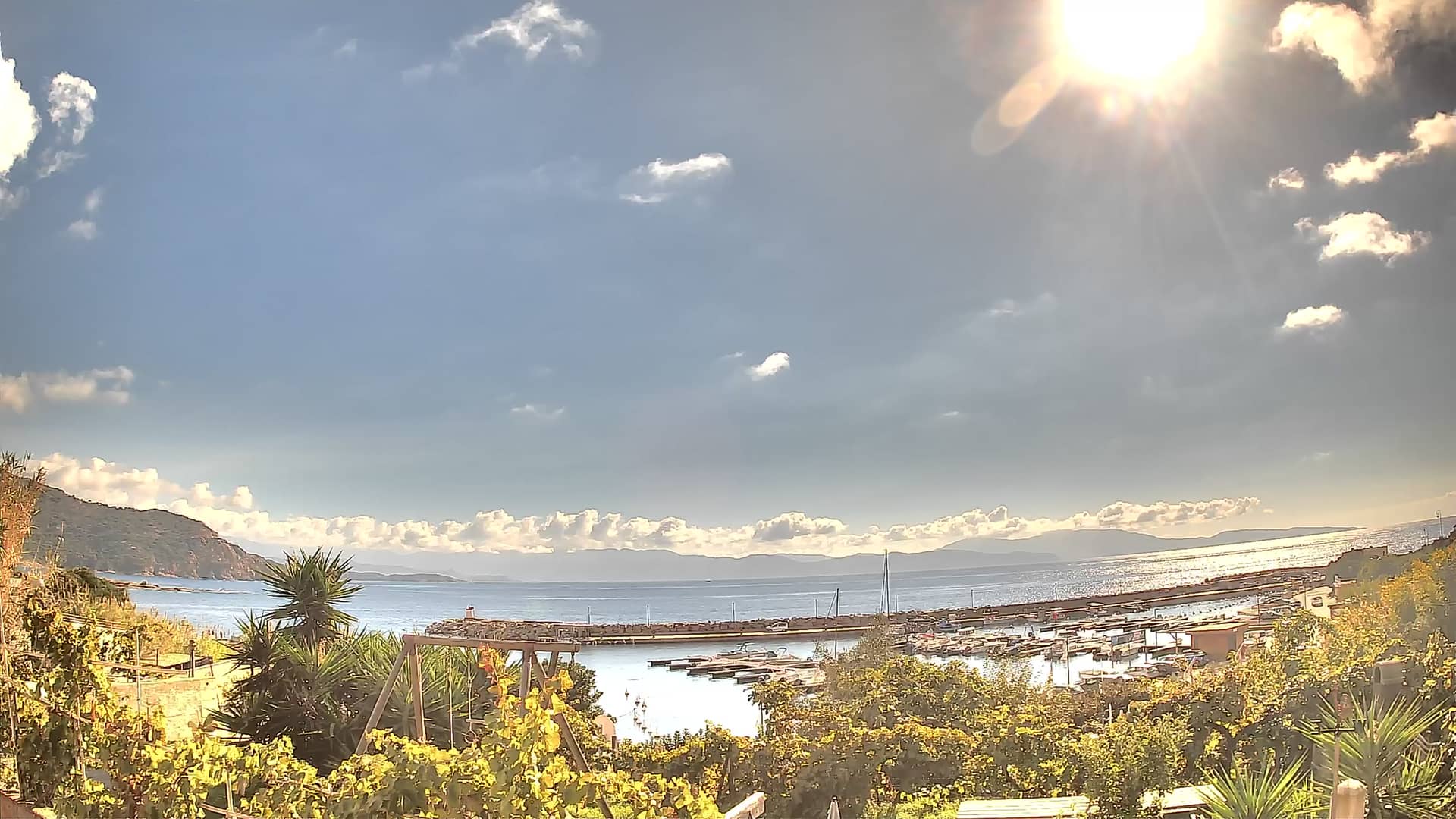
Corsica, France — 29 km
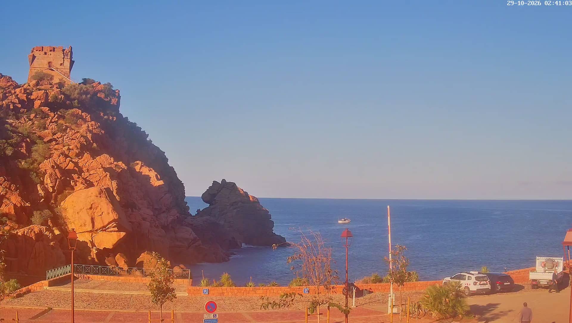
Corsica, France — 40 km
Corsica, France — 50 km
Corsica, France — 53 km
Corsica, France — 54 km
The current conditions and a three-day forecast are shown in the live weather block on this page. They update automatically, so you can check them alongside the stream.
The local time is displayed on this page and follows the time used in mainland France. It is shown live, so you do not need to convert it yourself.
The camera is at Ajaccio Napoléon Bonaparte Airport on Corsica's west coast, and its position is marked on the map on this page. The map helps you see how the airport sits relative to the town and the sea.
Daylight hours give the clearest view, and the busiest activity usually falls around scheduled arrivals and departures. Check the live stream and the weather block together to judge visibility.
Partner links: we may earn a commission at no extra cost to you.