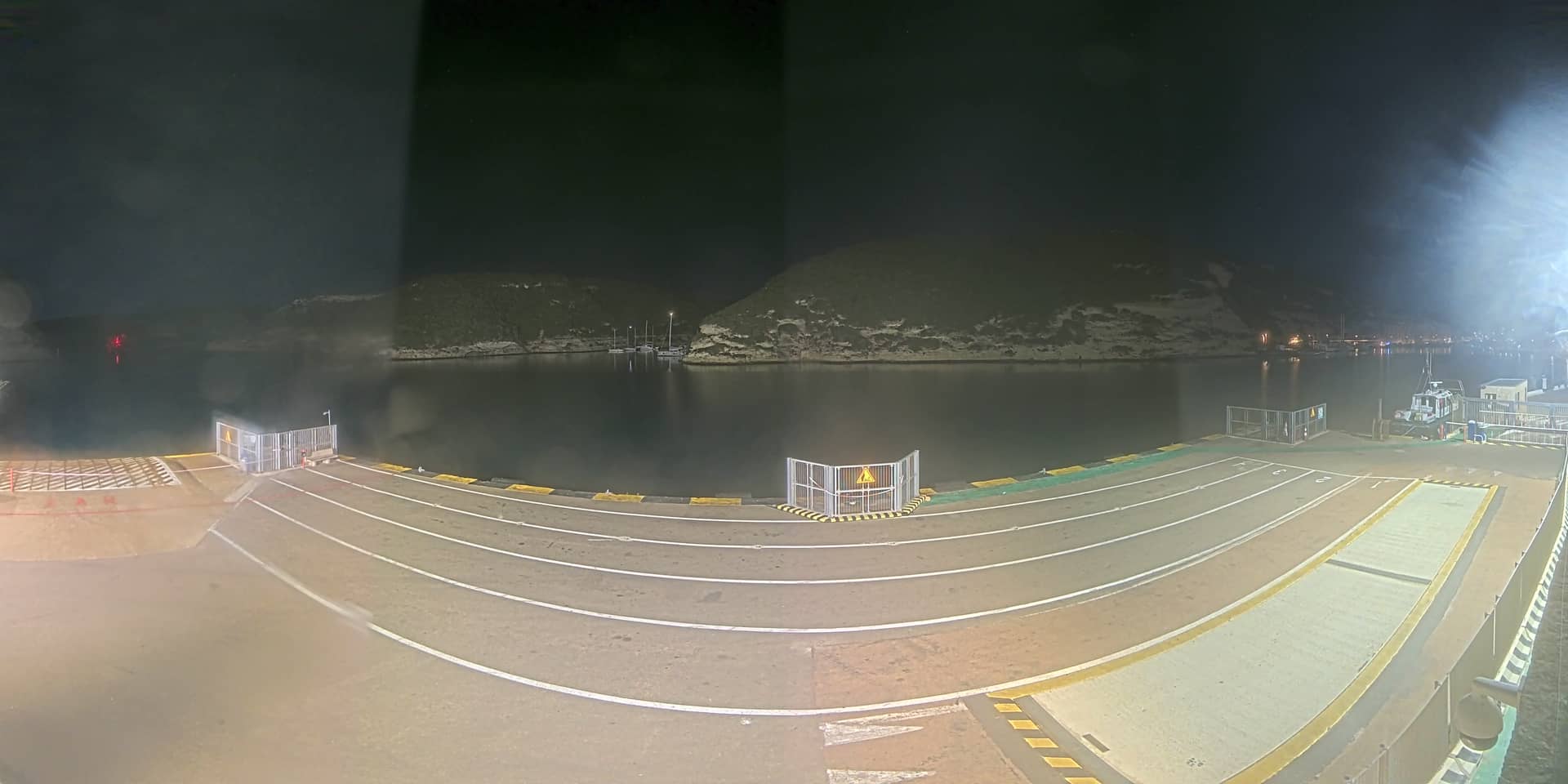
Bonifacio - Port
Corsica, France — 13 km
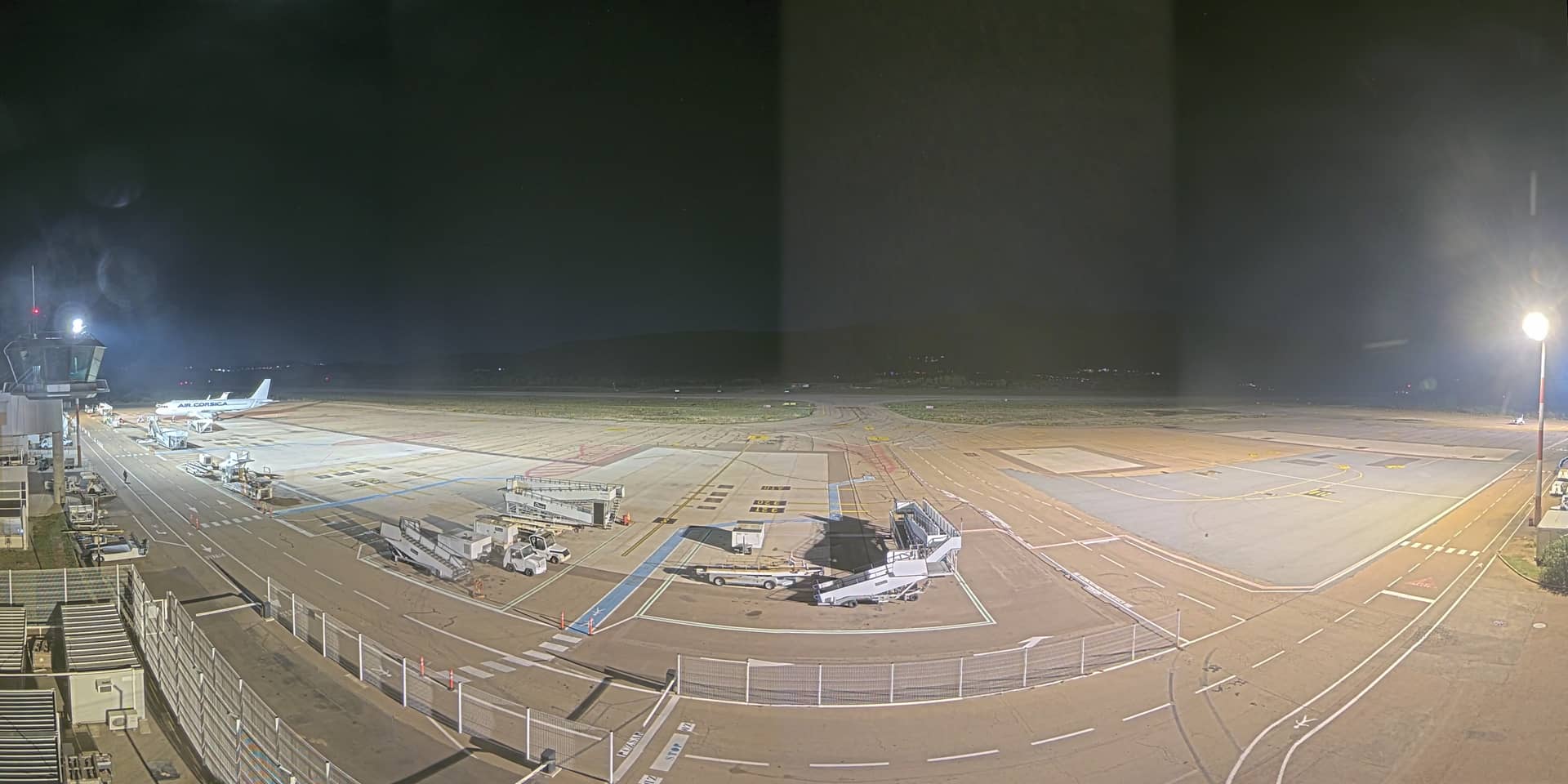
Figari - Aéroport
🇫🇷 Corsica · France — Altitude 18 m
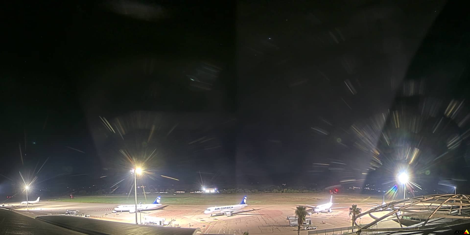
This live stream looks out over Figari Airport, the main gateway to the southern tip of Corsica. It is useful for checking whether flights are moving and what the sky looks like before you head to the coast. The feed is provided by the local chamber of commerce and is embedded here with a link to the original source.
Figari sits on the southern plain of Corsica, a short drive inland from the Gulf of Ajaccio and the Bonifacio area. The island is known for its granite mountains, maquis scrubland and long sandy beaches, and the south is often considered the warmest part of the island. The airport, at about 18 metres above sea level, is one of the main entry points for visitors heading to the Porto Vecchio coast and the Bonifacio cliffs.
The camera is aimed at the airport area, so the most visible activity is aircraft arriving, departing and taxiing. Arrival and departure peaks tend to follow the seasonal flight schedule, with busier periods in summer. Clear mornings and late afternoons often give the best visibility, while strong wind or rain can change how the apron looks. Check the live time on the page to match what you see with the day's schedule.
Southern Corsica has a Mediterranean climate with hot, dry summers and mild, wetter winters. The best time to visit for beaches is June to September, though spring and autumn are quieter and pleasant for walking. From the airport you will need a car or transfer to reach Porto Vecchio or Bonifacio. Nearby cameras on this page cover Bonifacio's harbour and the Porto Vecchio coast, which can help you judge conditions before you travel.
The live feed helps you confirm activity at the airstrip. Use the map on this page to see the exact position of the airport relative to the coast and the nearby towns. The weather block shows current conditions and a three-day outlook for the area.
Source: CCI Corse Sud
Corsica, France — 13 km

Corsica, France — 16 km
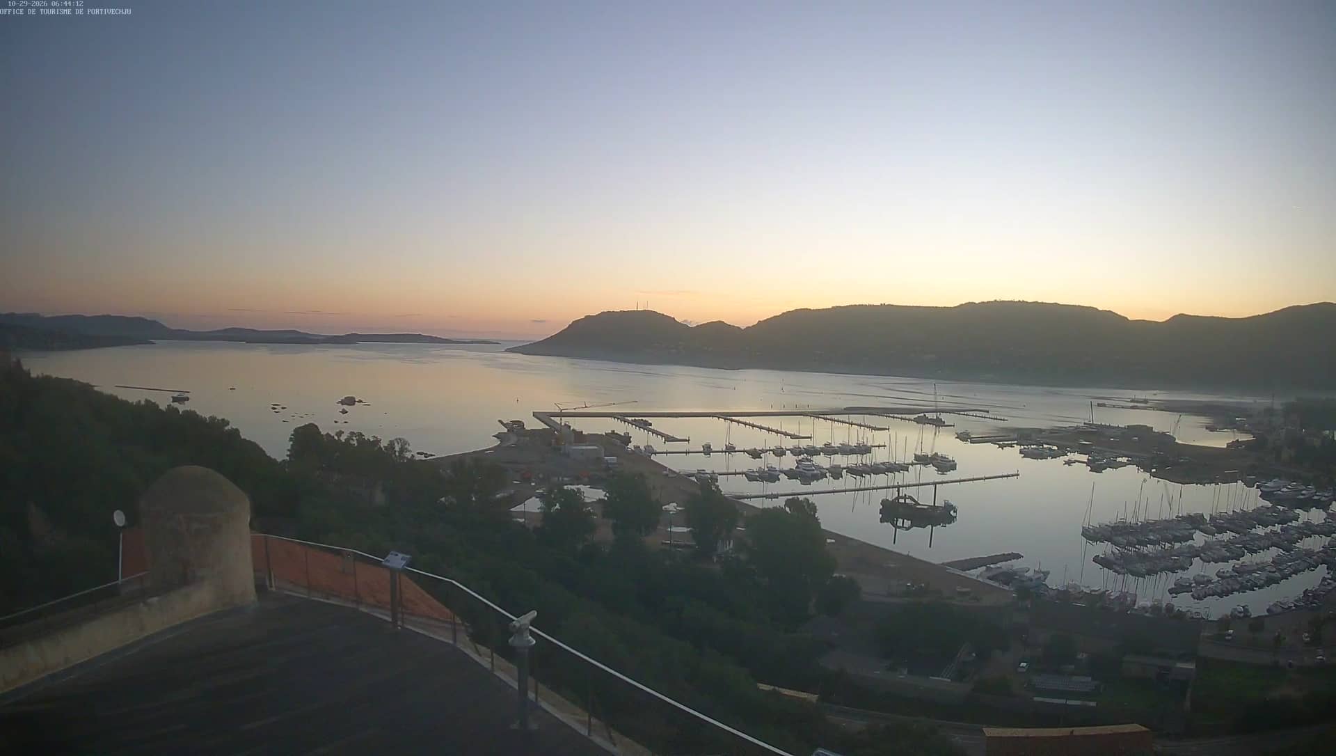
Corsica, France — 18 km
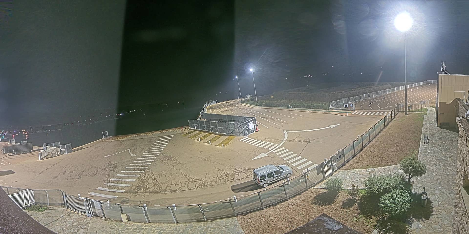
Corsica, France — 19 km
Corsica, France — 20 km
Corsica, France — 21 km
Corsica, France — 26 km
Corsica, France — 53 km
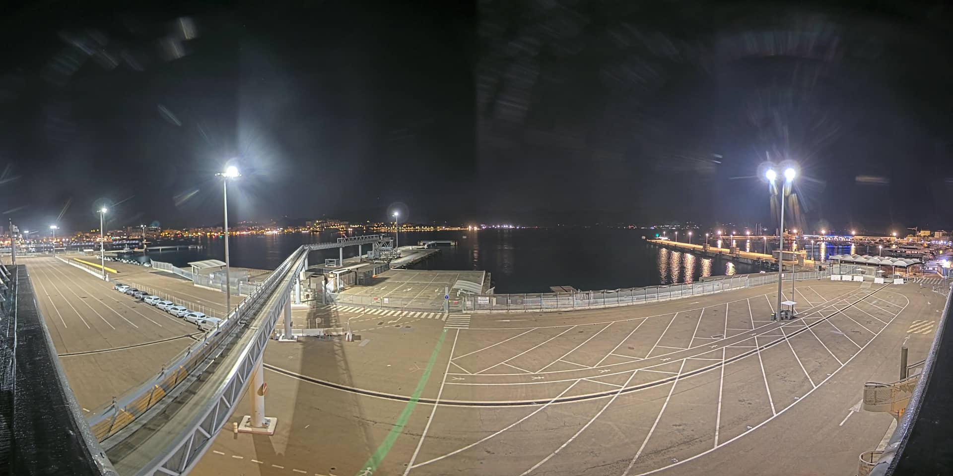
Corsica, France — 56 km
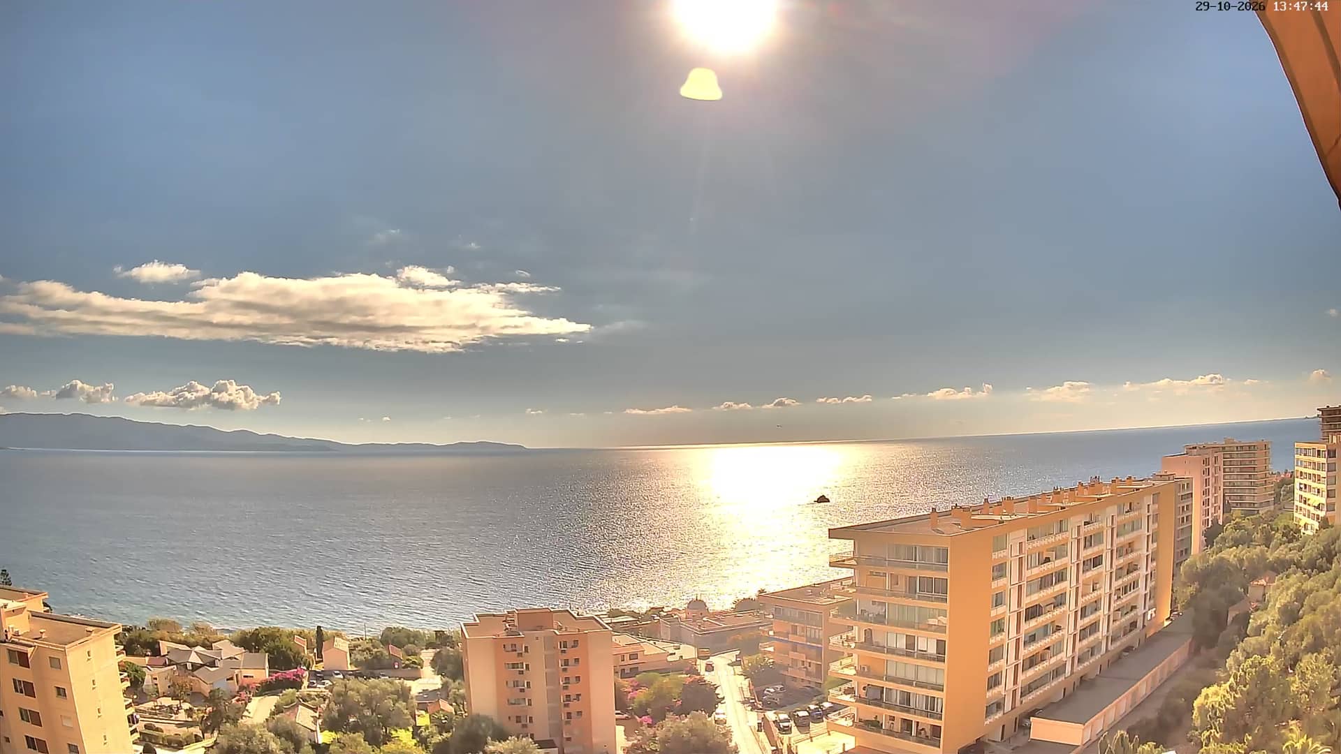
Corsica, France — 56 km
The current conditions and a three-day forecast for Figari are shown in the weather block on this page. Values update automatically, so check there for temperature, wind and rain before your flight or drive.
The local time for Figari is displayed live on this page. Corsica follows the same time as mainland France, so use this clock to coordinate with your flight schedule.
The camera is positioned at Figari Airport in southern Corsica, near the village of Figari. The map on this page marks its position relative to the coast and nearby towns.
Activity tends to be busiest in summer during the peak flight season. Clear daylight hours are usually easiest to see, while early mornings and late afternoons often bring the most arrivals and departures.
Partner links: we may earn a commission at no extra cost to you.