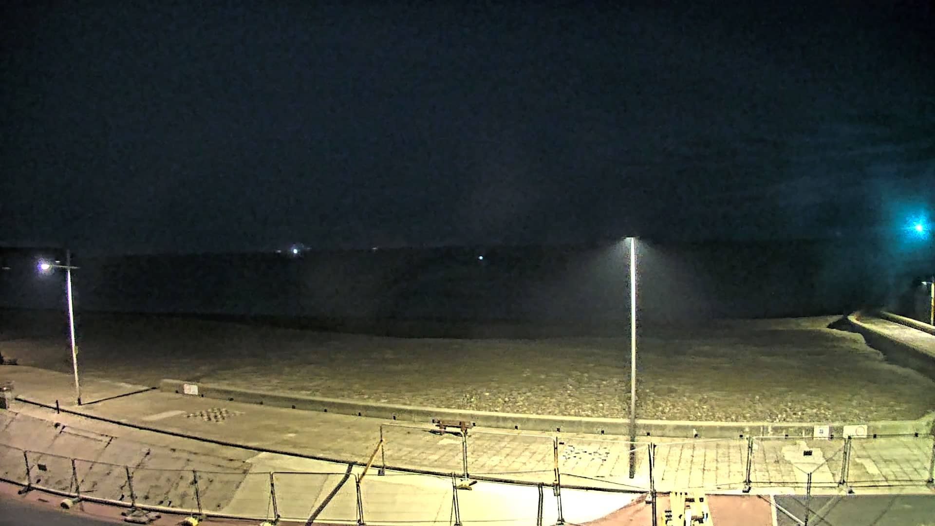
Fécamp
Normandy, France — 4.9 km
🇫🇷 Normandy · France — Altitude 7 m
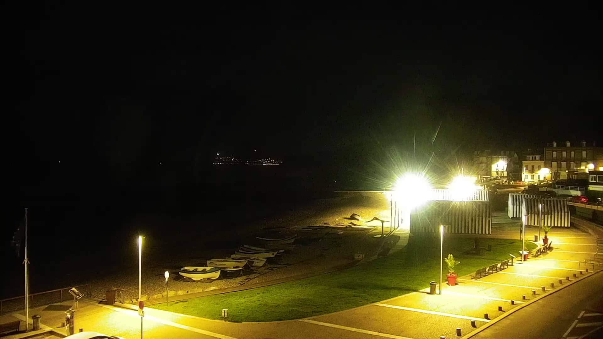
This live stream looks out over Yport, a small fishing village on the Pays de Caux coast of Normandy. It is a good way to check the sea and sky before planning a walk along the cliffs or a visit to the harbour area.
Yport sits in a narrow valley where the chalk cliffs of the Alabaster Coast open onto the English Channel. The village is known for its pebble beach, traditional fishing boats hauled up onto the shingle and its quiet, unhurried atmosphere. The surrounding countryside is farmland and grassy clifftops, typical of this part of Upper Normandy.
Since the title refers to the village itself, the view is best judged from the live image on the page rather than from a description. Coastal scenes like this tend to change most with the tide, the light and the weather, so mornings and late afternoons are often the most interesting times to watch. Clear days bring out the chalk cliffs, while overcast skies soften the colours of the sea.
The Normandy coast has a mild, changeable oceanic climate, with cool winters and summers that are pleasant rather than hot. Spring and early autumn are often good for walking. Fécamp, with its harbour and abbey, is a short drive away, and the cameras at Étretat and Saint-Jouin-Bruneval show other stretches of this famous coastline.
Source: fecamptourisme.com
Normandy, France — 4.9 km
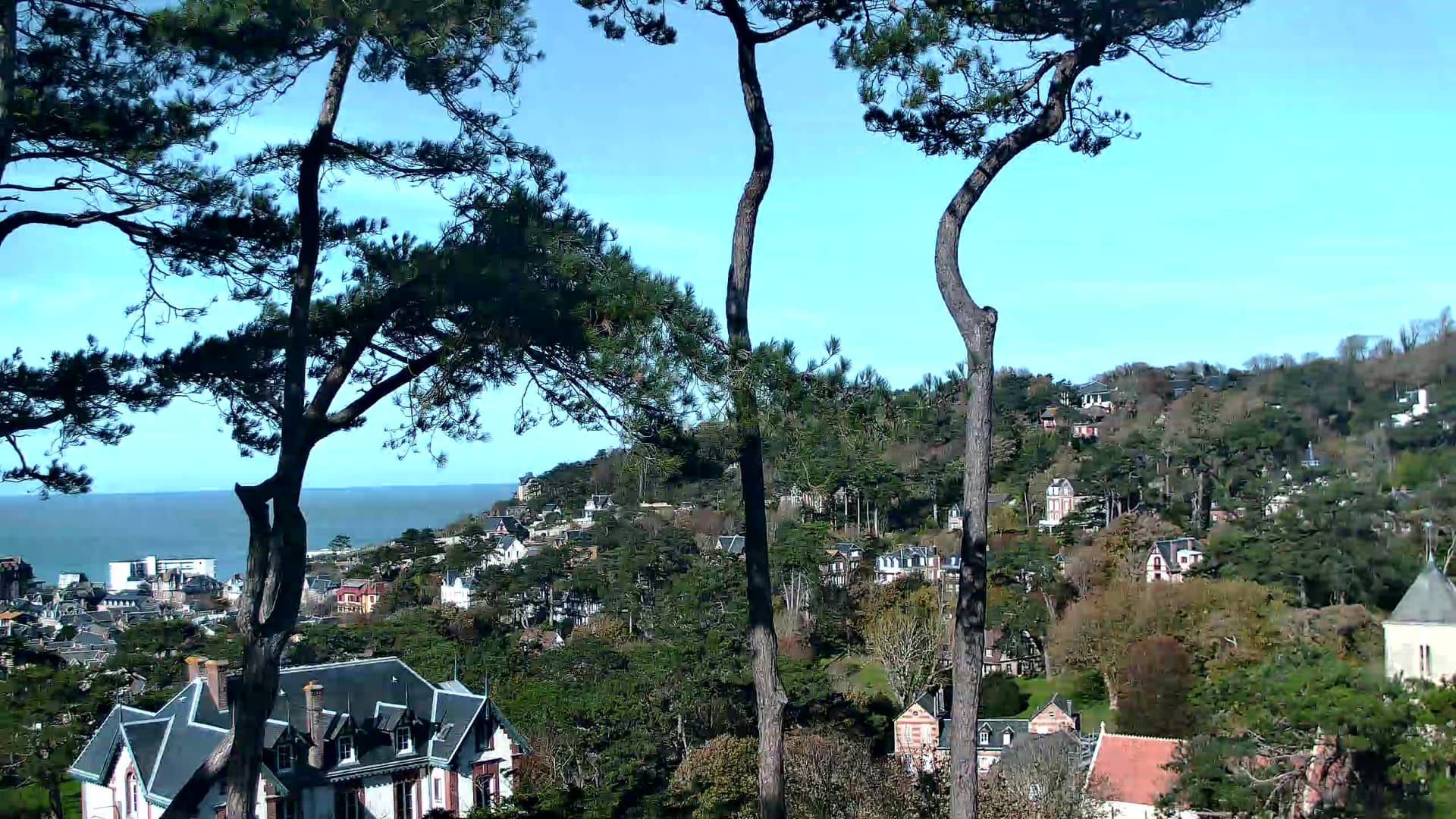
Normandy, France — 7.9 km
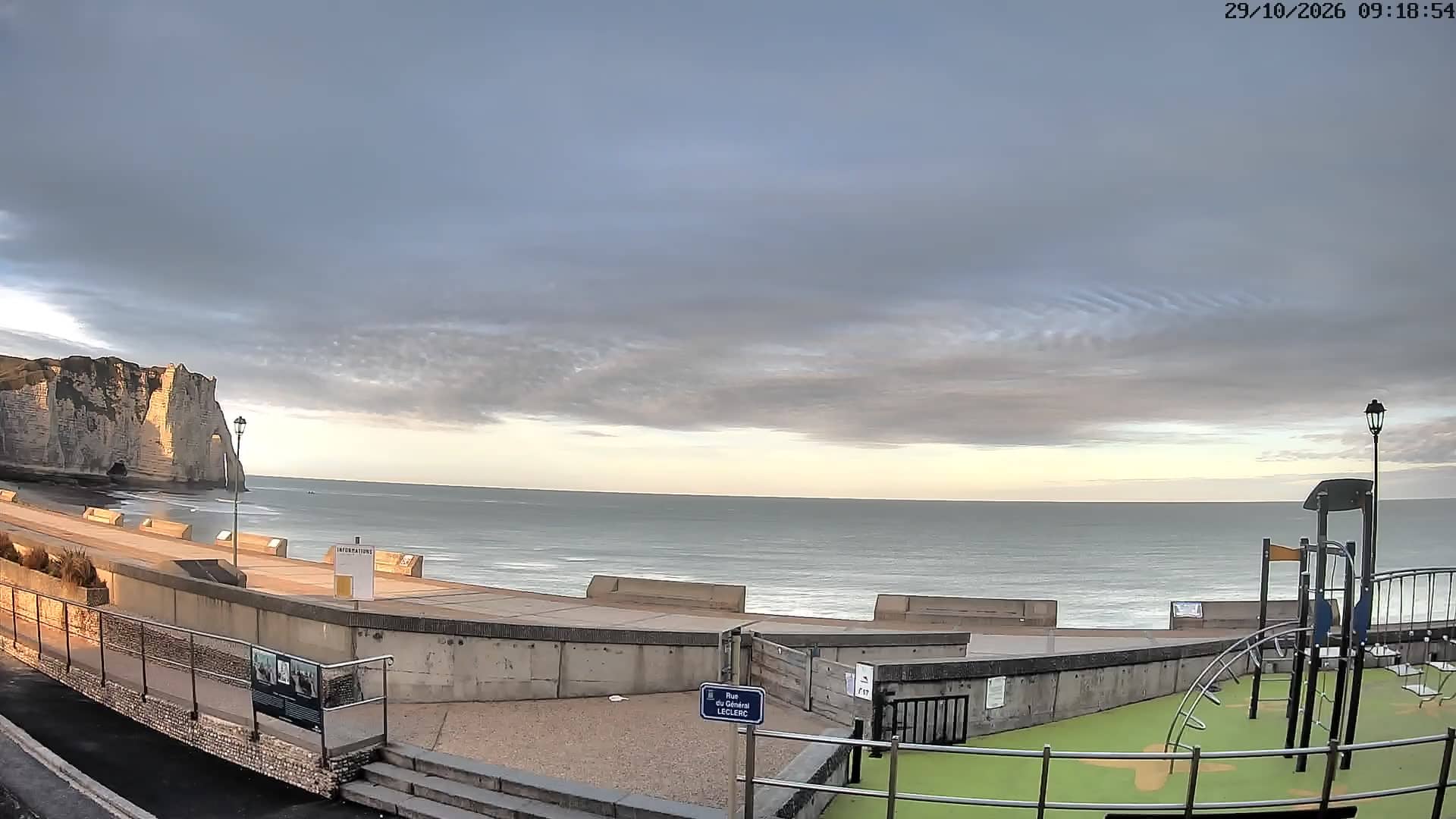
Normandy, France — 8.4 km
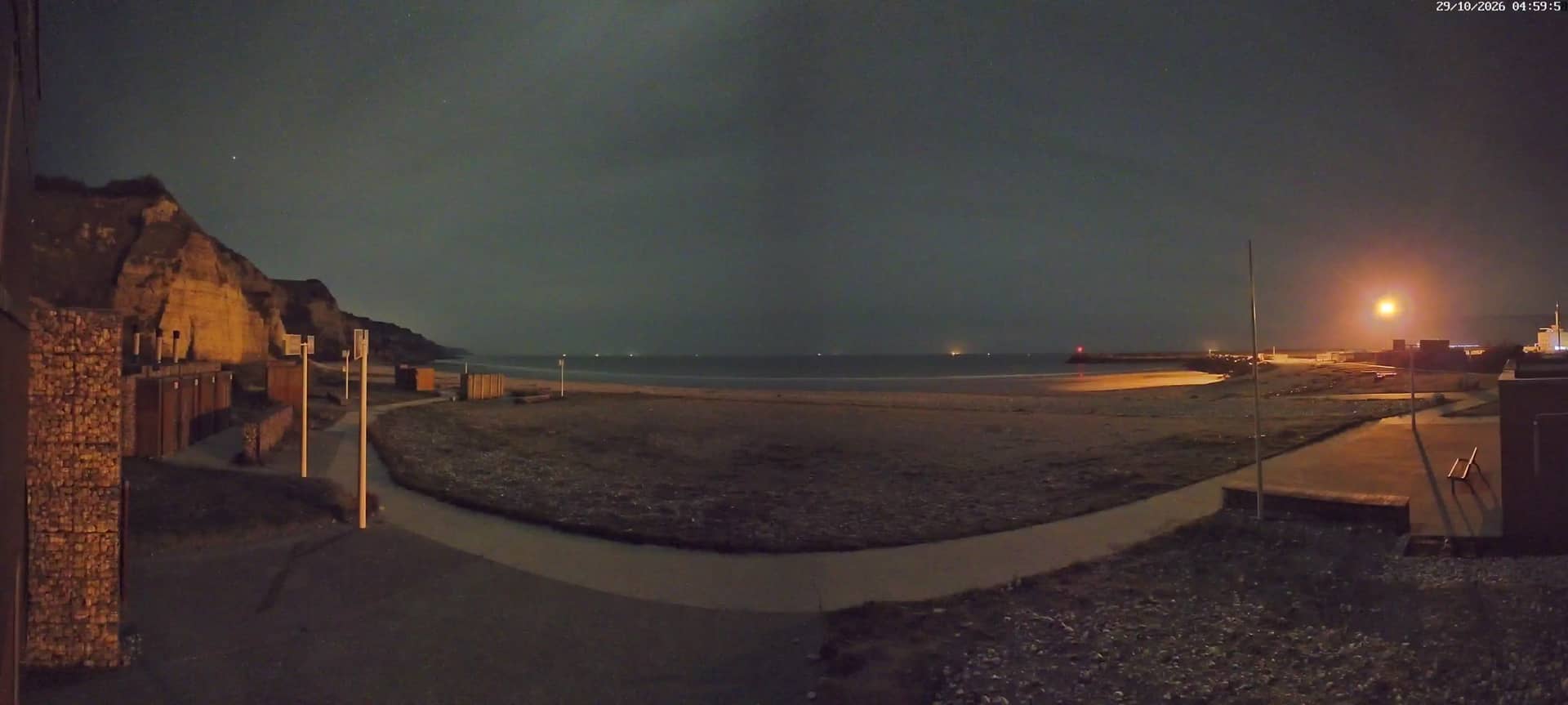
Normandy, France — 15 km
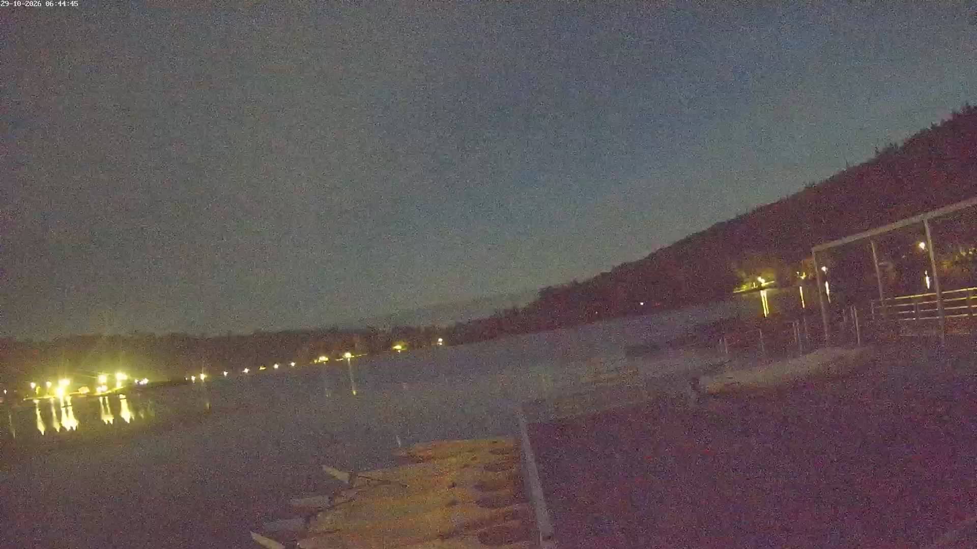
Normandy, France — 24 km
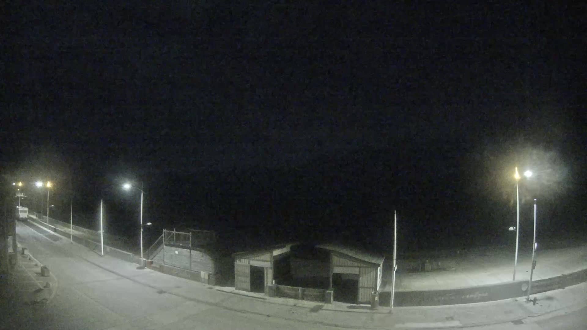
Normandy, France — 25 km
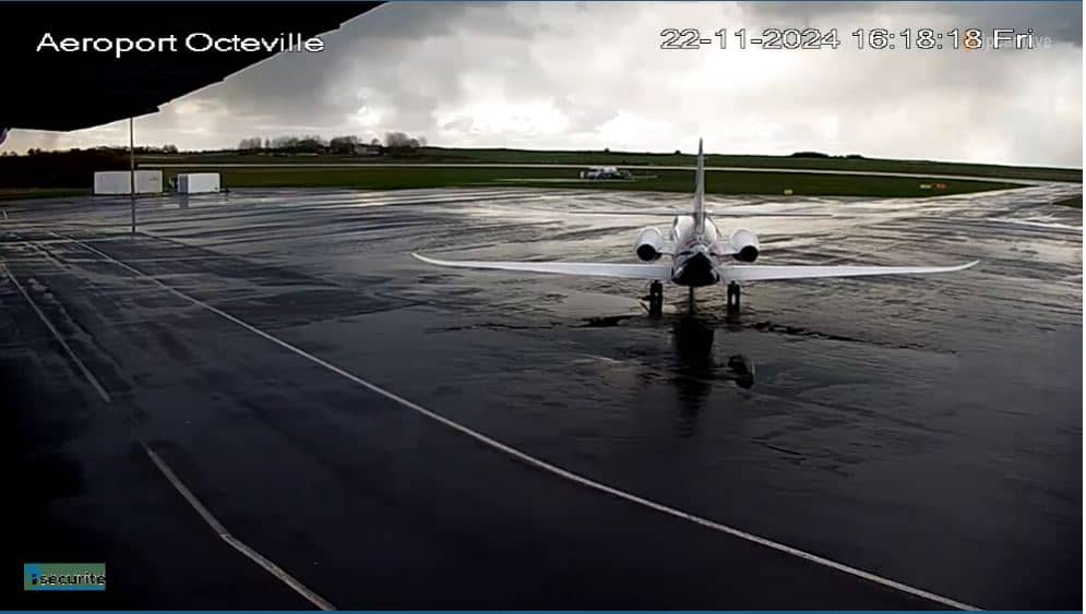
Normandy, France — 28 km
Normandy, France — 29 km
Normandy, France — 31 km
Normandy, France — 31 km
The current conditions and a three-day forecast for Yport are shown in the weather block on this page, updated automatically. Check it before heading to the coast, as sea wind can feel strong even on sunny days.
The local time in Yport is displayed on this page and follows the French clock, which is one hour ahead of UTC in winter and two hours ahead in summer.
Yport is on the Alabaster Coast of Normandy in France, roughly 7 metres above sea level, between Fécamp and Étretat. The map on this page shows the exact location.
Early morning and late afternoon usually offer the softest light on the cliffs and the most movement on the beach. Check the tide and weather in the live blocks to see what conditions are likely.
Partner links: we may earn a commission at no extra cost to you.