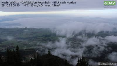
Hochries - Hochrieshütte - section DAV de Rosenheim - vue vers le nord
Bavaria, Germany — 4.8 km
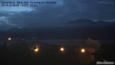
Samerberg - Vue sur Törwang sur la Hochries
🇩🇪 Bavaria · Germany — Altitude 740 m
This camera looks out over the Samerberg municipality in Upper Bavaria, toward the village of Törwang and the mountain slopes of the Hochries. It suits anyone planning a hike or a day in the Bavarian Alps who wants to check conditions before setting out.
Samerberg is a rural municipality in the Rosenheim district of Upper Bavaria, lying on a plateau above the Inn valley at roughly 740 metres. Its landscape mixes pastures, farmland and forested ridges, with the Alps rising to the south. The Hochries, a limestone massif reaching well above 1,700 metres, dominates the skyline and is one of the most popular day-trip mountains in the region.
Depending on the view, you may see meadows, farm buildings, the village of Törwang and the wooded slopes leading up toward the Hochries. Clear mornings often bring the best visibility of the peaks, while late afternoon light softens the pastures. Cloud and mist can roll in quickly over the mountains, so the live picture is useful for judging whether the summits are visible.
The Alpine climate here is cool and damp, with summers mild and often showery, and winters cold with regular snow. Late spring to early autumn is generally the most reliable period for walking. Several other cameras on the Hochries, including views from the Hochrieshütte and the arrival station, are close by and show the mountain from different angles.
Source: foto-webcam.eu
Bavaria, Germany — 4.8 km
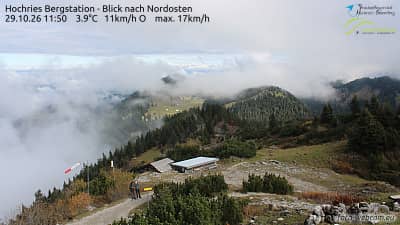
Bavaria, Germany — 4.9 km
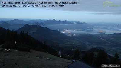
Bavaria, Germany — 4.9 km
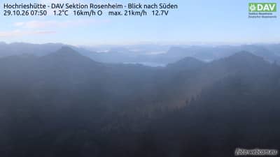
Bavaria, Germany — 5 km
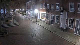
Bavaria, Germany — 6.3 km
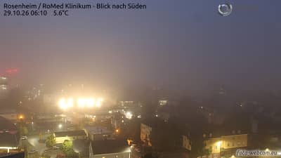
Bavaria, Germany — 10 km
Bavaria, Germany — 12 km
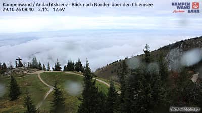
Bavaria, Germany — 12 km
Bavaria, Germany — 15 km
The current conditions and the three-day forecast for Samerberg are shown in the weather block on this page. They update automatically, so you can compare what the camera shows with the latest readings.
The local time for Samerberg is displayed on this page and follows the local clock in Bavaria. It is shown next to the live player so you can plan your viewing or visit.
The camera is in the municipality of Samerberg in Upper Bavaria, at about 740 metres altitude. The map on this page marks its position relative to the Hochries and the surrounding villages.
Clear mornings tend to give the sharpest view of the mountain, and late afternoon light is pleasant for the meadows. Check the live picture and the weather block together, since cloud on the Hochries can change the view within an hour.
Partner links: we may earn a commission at no extra cost to you.