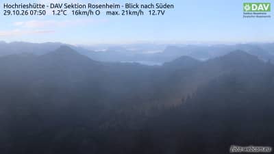
Hochries - Hochrieshütte - section DAV de Rosenheim - vue vers le sud
Bavaria, Germany — 0.1 km
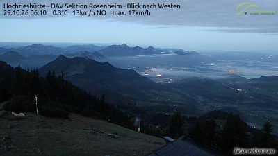
Hochries - Hochrieshütte - section DAV de Rosenheim - vue vers l'ouest
🇩🇪 Bavaria · Germany — Altitude 1569 m
This live camera sits at the Hochrieshütte, a mountain hut of the DAV section Rosenheim on the Hochries above the Chiemgau Alps. It looks west across the ridges, so it is useful for judging cloud and visibility before a hike. Watch it to see whether the mountain is clear or wrapped in cloud.
The Hochries is a prominent peak of the Chiemgau Alps in southeastern Bavaria, close to the Samerberg and the town of Rosenheim in the valley below. Its summit area is known for open views over the Inn valley, the Chiemgau hills and the higher Alps to the south. The hut at about 1,569 metres is a traditional stop for walkers and day trippers who come up on foot or by the cable-based routes from the valley.
The west-facing view is most interesting in the late afternoon and evening, when the light falls across the ridges and the sky is often more colourful. Clouds building over the mountains can change the scene within minutes, so the camera is handy for spotting a clearing window. Winter snow, spring meltwater and autumn colours each give the view a different character, depending on the conditions on the day.
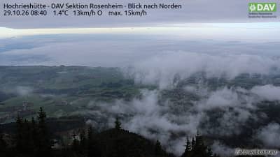
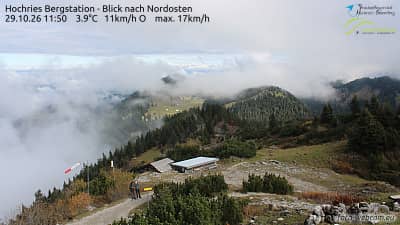
Mountain weather here can change quickly, so check the forecast on the page and plan for cooler temperatures and wind at altitude, even in summer. Good hiking months are generally from late spring to early autumn, when the paths are free of snow. Nearby on VizCams you can also view the hut's south and north cameras, the arrival station camera, and the Törwang view across the Samerberg.
Source: foto-webcam.eu
Bavaria, Germany — 0.1 km
Bavaria, Germany — 0.1 km
Bavaria, Germany — 0.1 km
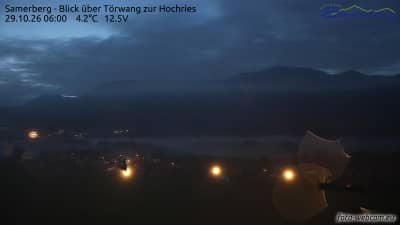
Bavaria, Germany — 4.9 km
Bavaria, Germany — 8 km
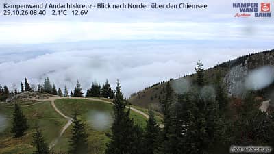
Bavaria, Germany — 8.1 km
Tyrol, Austria — 10 km
Bavaria, Germany — 10 km

Tyrol, Austria — 12 km
Bavaria, Germany — 13 km
The current conditions and a three-day forecast for the Hochries are shown in the weather block on this page. Mountain weather changes quickly, so check it before setting out.
The local time for the camera is displayed on this page, based on the time zone of the location in Germany. It updates alongside the live view.
The camera is at the Hochrieshütte on the Hochries in Bavaria, at roughly 1,569 metres above sea level, and the map on this page shows its position.
Late afternoon and evening often give the most striking light to the west, and clear mornings are good for seeing the ridges. Check the live view to see whether cloud is clearing.
Partner links: we may earn a commission at no extra cost to you.