Santorini - Atlantea
South Aegean, Greece — 0.2 km
The camera is temporarily offline
The owner's stream is not available right now. Try again later or watch a camera nearby.
Σαντορίνη – Καλντέρα
🇬🇷 South Aegean · Greece — Altitude 500 m
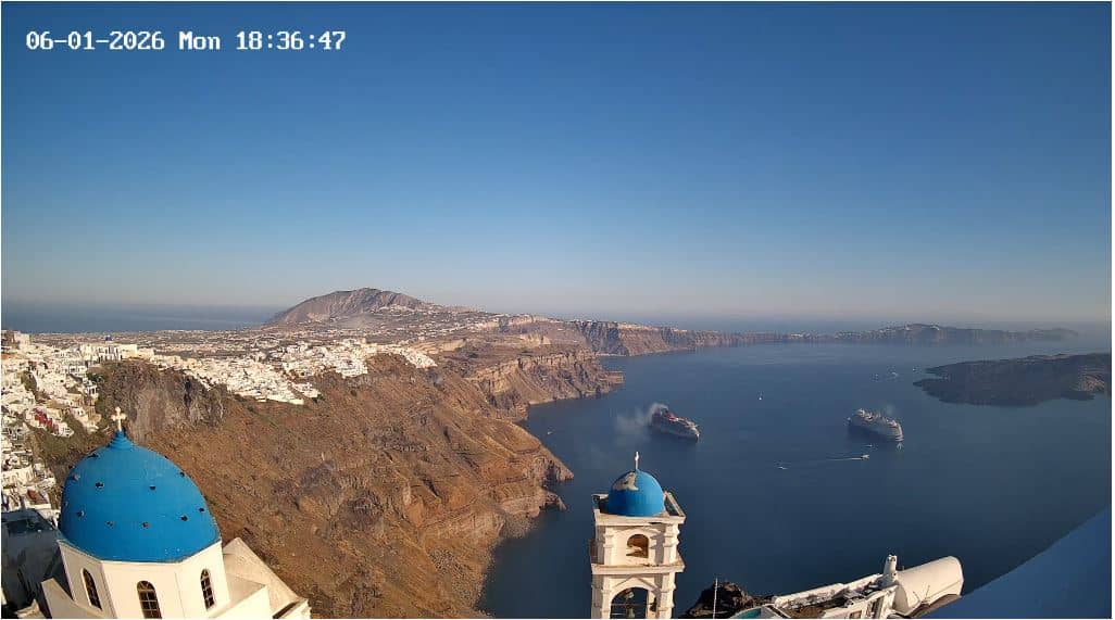
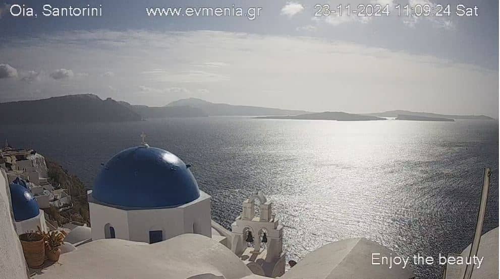
This live stream looks out over the Santorini caldera, the flooded crater of a volcano whose cliffs and whitewashed villages are among the most photographed scenes in Greece. It is useful for checking how the sea and sky look before planning a day or evening on the island.
Santorini sits in the South Aegean, the southernmost island group of the Cyclades. Its crescent shape is the rim of a huge volcanic collapse, and the water inside the caldera is deep and dark blue. The island is known for its dramatic cliffs, black and red volcanic beaches, and villages built into the rock, with Fira and Oia among the best-known settlements along the edge.
The image is a live video of this caldera area, so the view depends on the weather, the haze and the hour. Sunsets over the western part of the island are traditionally the busiest time for visitors, and the clear hours of late afternoon are often the most rewarding to watch. Cloud and wind can change the scene quickly, so the live stream is a good way to judge conditions in the moment.
Santorini has a dry, sunny climate with hot summers and mild winters, and the best time to visit is usually late spring or early autumn, when crowds are smaller. Nearby cameras on this page cover Fira, the Atlantea area and the port, which can help you compare views from different points on the island before you go.
Source: forecastweather.gr
South Aegean, Greece — 0.2 km
South Aegean, Greece — 2.3 km
South Aegean, Greece — 4.4 km
South Aegean, Greece — 5.3 km
South Aegean, Greece — 35 km
South Aegean, Greece — 47 km
South Aegean, Greece — 48 km
South Aegean, Greece — 72 km
South Aegean, Greece — 75 km
South Aegean, Greece — 77 km
The current conditions and the three-day forecast are shown in the live weather block on this page. They update with the forecast data for the island.
The local time block on this page shows the current time on the island, which is on Greek local time.
The camera is located in the Santorini caldera area in the South Aegean, Greece, at about 500 metres above sea level. The map on this page marks its position.
Many people watch the view in the late afternoon and around sunset, when the light is warm and the cliffs are most visible. Clear mornings can also be good, depending on the haze.
Partner links: we may earn a commission at no extra cost to you.