Σαντορίνη – Καλντέρα
South Aegean, Greece — 0.2 km
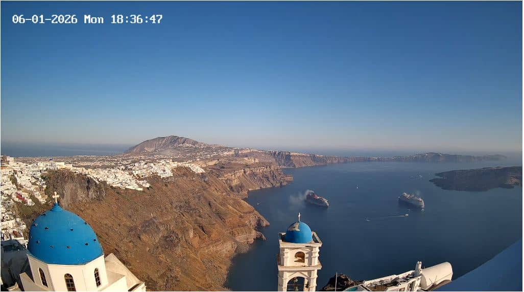
Santorini - Atlantea
🇬🇷 South Aegean · Greece — Altitude 346 m
This live feed from Santorini gives you a real-time look at the island in the South Aegean. It is useful for checking conditions before a trip, following the light over the caldera, or simply seeing how the day is unfolding there. The stream is embedded from its owner, Atlantea, and the page adds the local weather and time beside it.
Santorini is a volcanic island in the South Aegean, part of the Cyclades. Its most famous feature is the caldera, a flooded crater formed by a major eruption thousands of years ago, with steep cliffs rising above the water. Towns such as Fira and Oia sit along the rim, known for whitewashed buildings, blue domes and wide sea views. The landscape is dry, dramatic and strongly shaped by the wind and the sea. The island has a long history of settlement, including the Minoan site of Akrotiri, which is one of its most important archaeological attractions.
Because this is a live view of Santorini, its appeal depends on the hour and the weather. Early morning and late afternoon usually bring the softest light and the clearest outlines across the water. Sunsets are a popular focus for watchers, and clear evenings tend to show the island at its most vivid. Strong northerly winds can change visibility and sea conditions, so the live picture is a good way to judge the day before planning anything on the water. The exact scene in frame is best confirmed by watching the live player directly.
Santorini enjoys a Mediterranean climate with hot, dry summers and mild, wetter winters. Spring and autumn are often considered the most comfortable times to visit, with pleasant temperatures and fewer crowds than midsummer. Getting around the island is commonly done by bus, taxi, rental car or boat between ports. Other live views nearby include the Caldera camera, the Fira view and the Santorini harbour camera, which can help you compare conditions across the island.
Source: atlantea.news
South Aegean, Greece — 0.2 km
South Aegean, Greece — 2.1 km
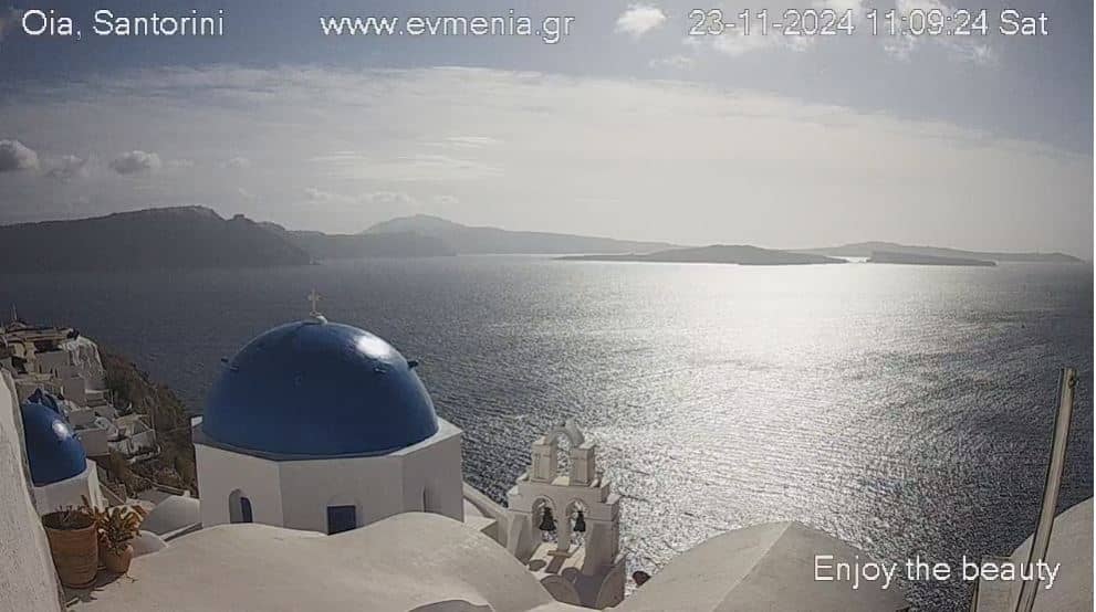
South Aegean, Greece — 4.2 km
South Aegean, Greece — 5.1 km
South Aegean, Greece — 35 km
South Aegean, Greece — 47 km
South Aegean, Greece — 48 km
South Aegean, Greece — 72 km
South Aegean, Greece — 75 km
South Aegean, Greece — 77 km
The current conditions and the three-day forecast for Santorini are shown in the weather block on this page, updated alongside the live player.
The local time for Santorini is displayed on this page next to the camera, so you can check it before you watch or plan a call.
The camera is located on Santorini in the South Aegean region of Greece, at an altitude of about 346 metres. The map on this page shows its position.
Many viewers prefer early morning for clear light and late afternoon for the approach to sunset. Checking the weather block first helps you see whether visibility is likely to be good.
Partner links: we may earn a commission at no extra cost to you.