
Akureyri - Vue en direct de
North East Iceland, Iceland — 1.8 km
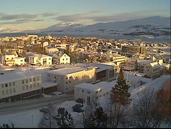
Akureyri
🇮🇸 North East Iceland · Iceland — Altitude 29 m
This live camera looks out over Akureyri, the largest town in northern Iceland and a gateway to Eyjafjörður fjord. The feed shows the town's conditions as they change through the day, from clear Arctic light to low cloud rolling off the mountains. It is useful for anyone deciding whether to head out to the fjord or the surrounding valleys.
Akureyri sits at the head of Eyjafjörður, a long fjord cut deep into northern Iceland, with mountains rising steeply on both sides. The town has a university, a busy harbour and a reputation as the cultural centre of the north, with a botanical garden and a well-known church on the hill above the centre. Its position makes it a natural base for exploring the north, from whale watching out of the fjord to the waterfalls and lava fields of the wider region.
The image is most rewarding in the long summer evenings, when the light stays soft for many hours and the fjord is often calm. In winter the days are short, so the view is mainly useful for checking whether snow or low cloud is sitting over the town. Weather changes quickly along the fjord, so it is worth returning to the feed more than once if you are waiting for a clear view of the mountains.
Akureyri has a mild climate for Iceland, though summers are the most comfortable time to visit, roughly June to August. The town is compact and easy to walk, and it is a good starting point for day trips to the nearby nearby towns of Húsavík, known for whale tours, and Sauðárkrókur on the west side of the north. The nearby camera at Húsavík can help you judge conditions along the coast before you set out.
Source: Axis
North East Iceland, Iceland — 1.8 km
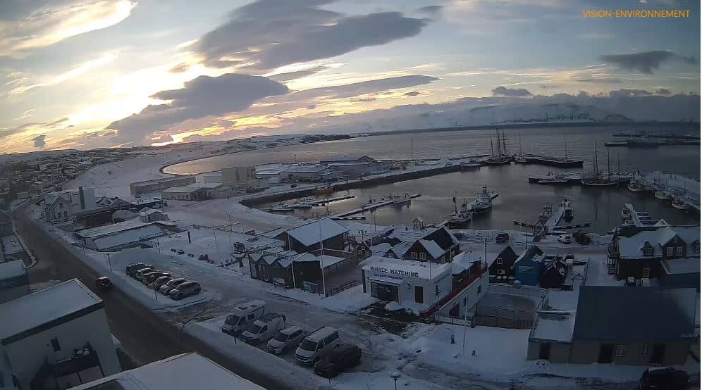
North East Iceland, Iceland — 54 km
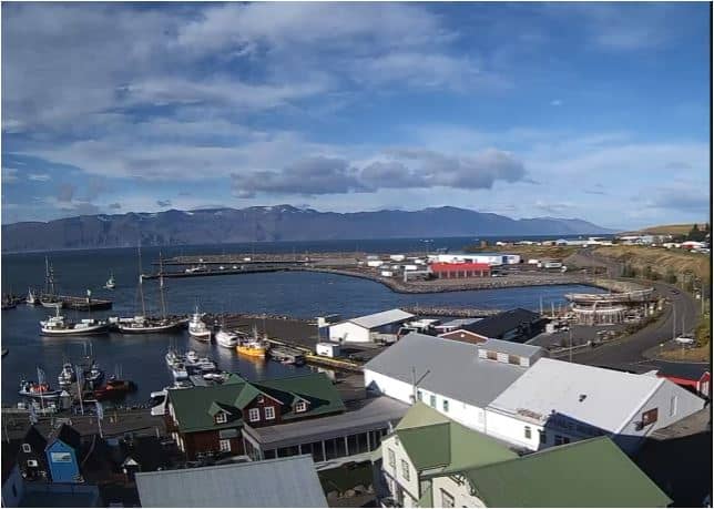
North East Iceland, Iceland — 54 km
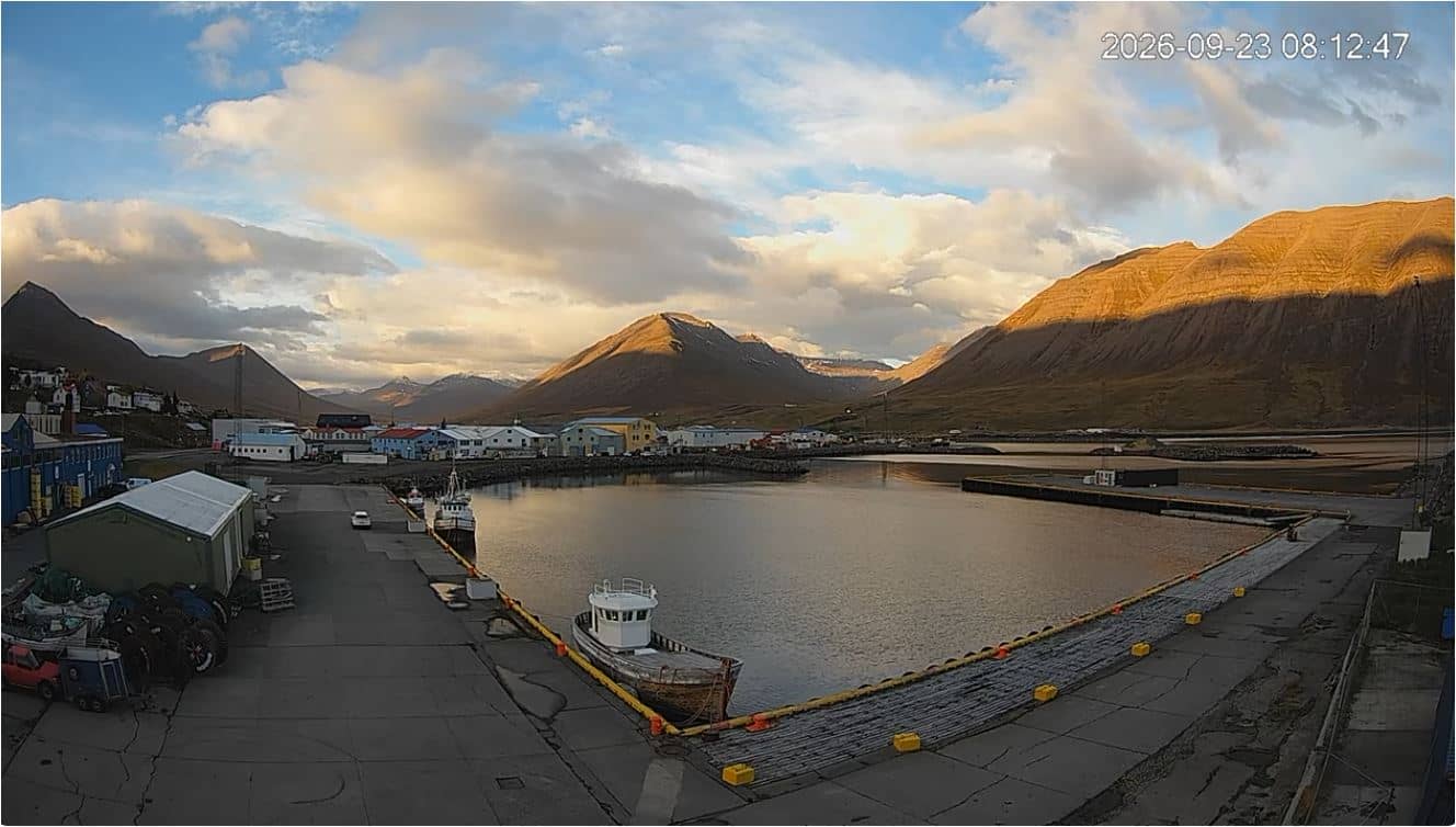
Northwest Iceland, Iceland — 65 km
Northwest Iceland, Iceland — 72 km

Northwest Iceland, Iceland — 79 km
Southern Region, Iceland — 123 km
Southern Region, Iceland — 174 km
East Iceland, Iceland — 200 km
East Iceland, Iceland — 201 km
The current conditions and the three-day forecast for Akureyri are shown in the weather block on this page. They update with the page, so check them before planning outdoor activities.
The local time for Akureyri is displayed on this page. Iceland uses one time zone all year, so it is the same as UTC throughout the year.
The camera is in Akureyri in North East Iceland, at an altitude of about 29 metres above sea level, close to the head of Eyjafjörður. The map on this page marks its position.
Long summer evenings give the most consistent light and clearest views of the fjord. In winter, the feed is most useful for checking snow and cloud cover over the town.
Partner links: we may earn a commission at no extra cost to you.