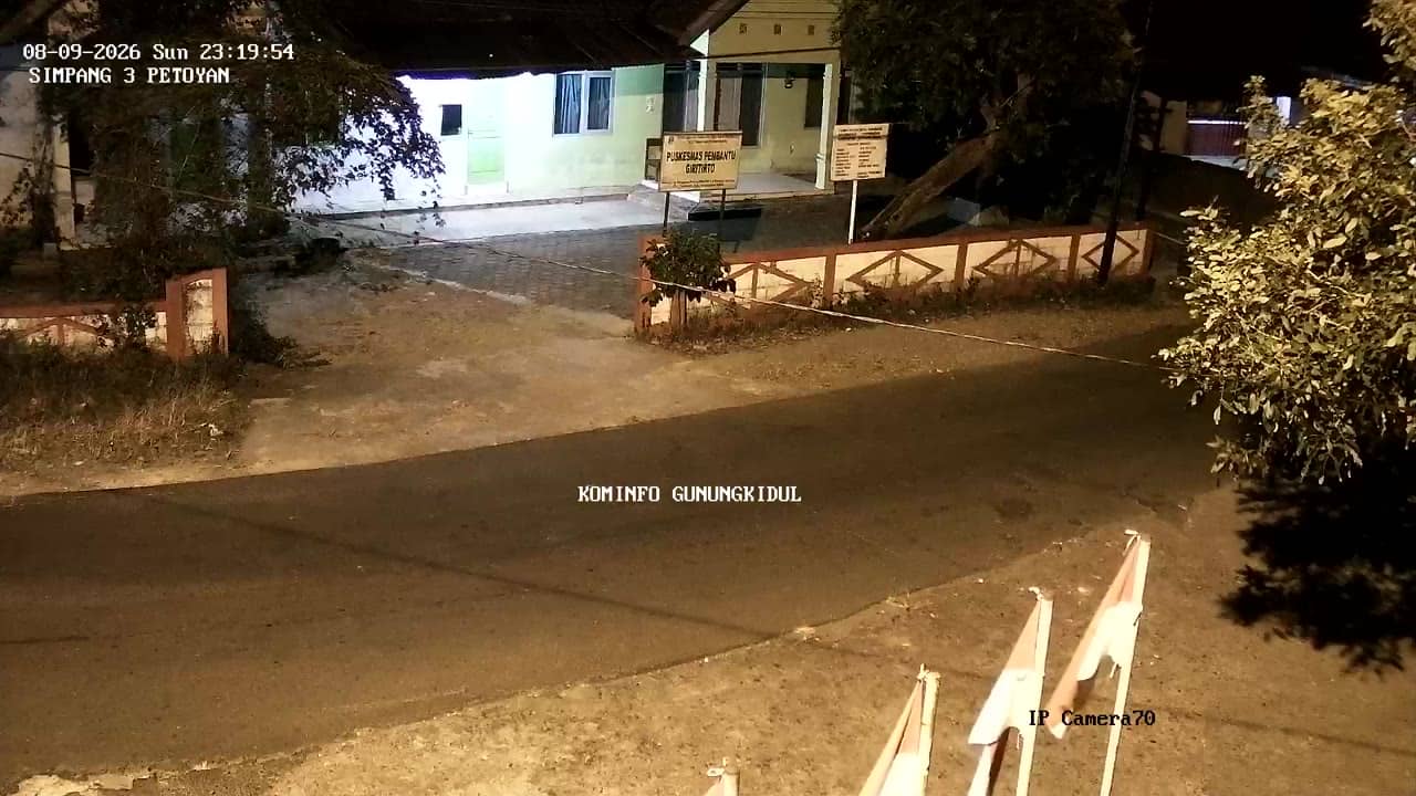
Gunungkidul - S3Petoyan1
Yogyakarta, Indonesia — 0 km
The camera is temporarily offline
The owner's stream is not available right now. Try again later or watch a camera nearby.
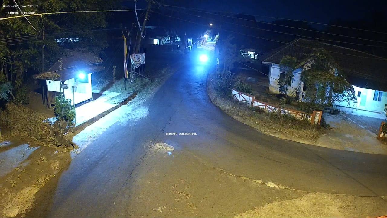
Gunungkidul - S3Petoyan2
🇮🇩 Yogyakarta · Indonesia — Altitude 333 m
This live stream shows a road in Gunungkidul regency, on the southern edge of the Special Region of Yogyakarta. It is a traffic camera, so it is useful for seeing how busy the route is before you travel. The page also gives the local time and a 3-day forecast for the area.
Gunungkidul is a large regency south-east of Yogyakarta city, stretching toward the Java coast. Much of its land is karst, a limestone landscape with dry hills, sinkholes and underground caves. The area is known for its beaches, cliffs and rural villages, and it sits on an upland at about 330 metres above sea level, which keeps it a little cooler than the city below.
As a traffic camera, the stream is mainly about vehicles, road conditions and the flow of motorbikes and cars along the route. Activity usually builds during the morning and late afternoon commutes and on weekends, when travellers head to the coast. Depending on the view, you may also notice weather changes such as rain clouds building over the hills.
Gunungkidul is best reached by road from Yogyakarta, and the drive takes a while because of winding hill routes. The dry season from roughly April to October is generally the easiest time to travel. Nearby cameras on VizCams include Petoyan 1, the Nanas junction four kilometres away, and the Parangtritis and Mangunan viewpoints in neighbouring Bantul.
Source: cctv.jogjaprov.go.id
Yogyakarta, Indonesia — 0 km
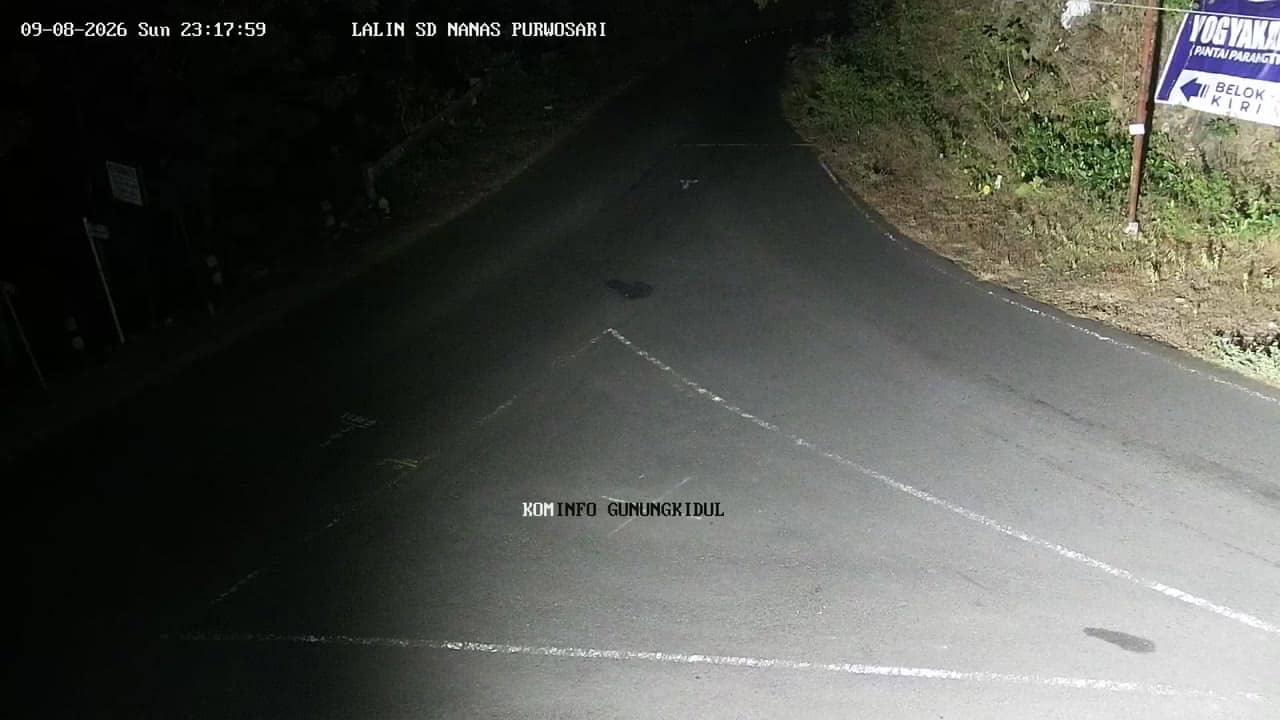
Yogyakarta, Indonesia — 4.1 km
Yogyakarta, Indonesia — 6 km
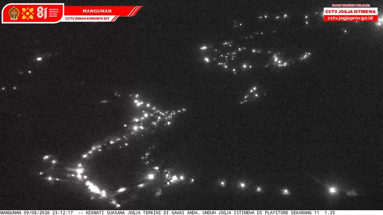
Yogyakarta, Indonesia — 8.2 km
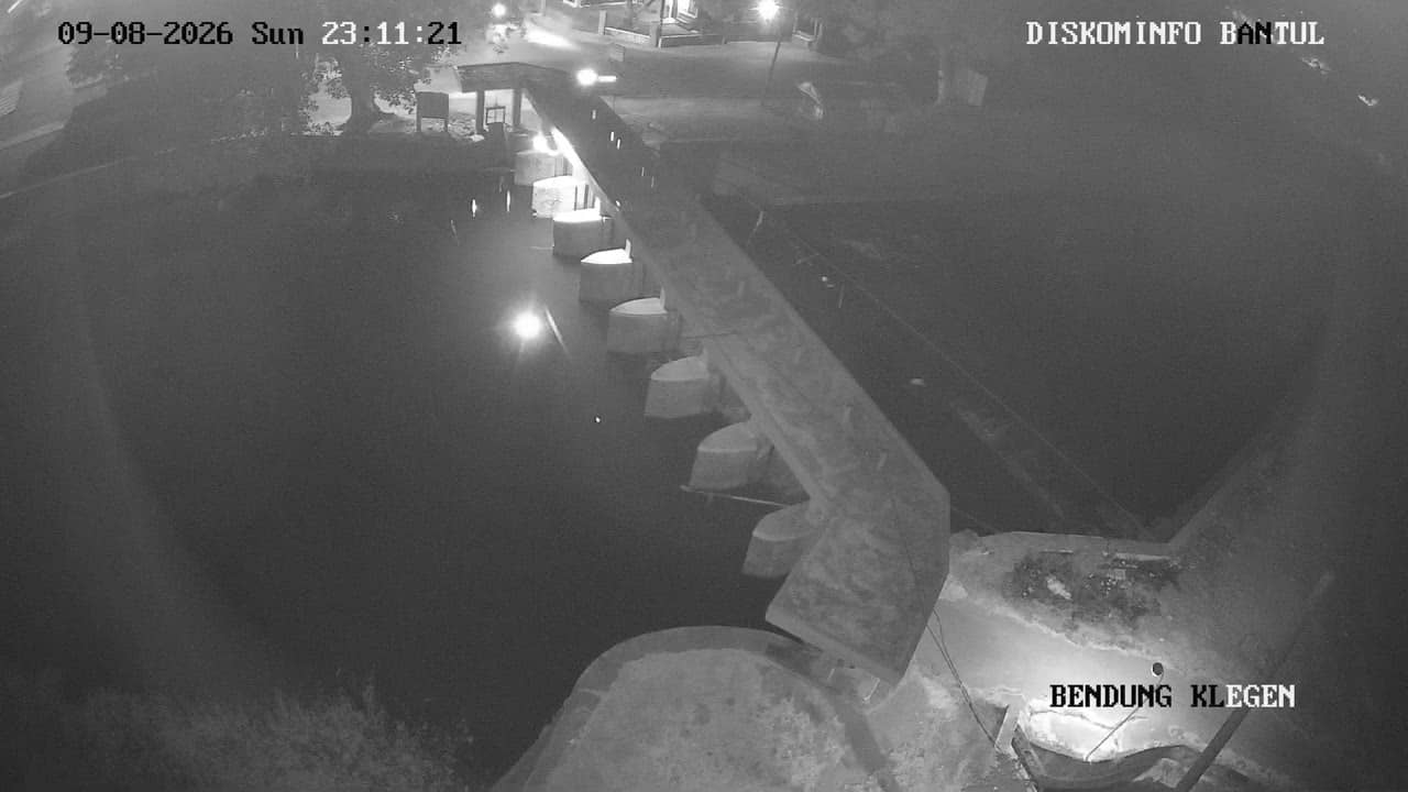
Yogyakarta, Indonesia — 8.2 km

Yogyakarta, Indonesia — 8.8 km

Yogyakarta, Indonesia — 8.9 km

Yogyakarta, Indonesia — 9.1 km
Yogyakarta, Indonesia — 12 km
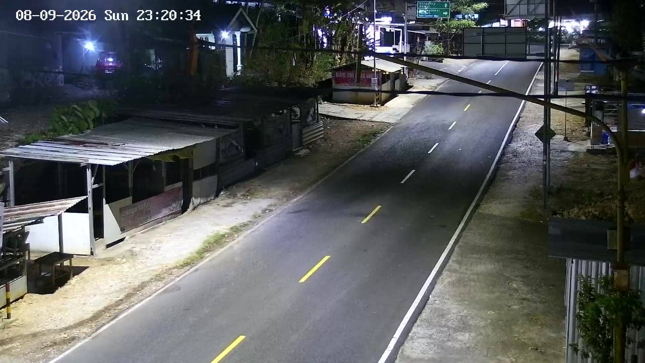
Yogyakarta, Indonesia — 12 km
The current conditions and a 3-day forecast for Gunungkidul are shown in the live weather block on this page, updated automatically.
The local time for Gunungkidul is displayed on this page and follows Indonesian Western Time, so it updates with the stream.
The camera is in Gunungkidul regency, Yogyakarta, at roughly 333 metres altitude. The map on this page marks its position.
Weekday morning and late afternoon are usually the busiest times on the road. Weekends can also be lively when travellers head toward the coast.
Partner links: we may earn a commission at no extra cost to you.