
Bantul - MakamImogiriMasjid
Yogyakarta, Indonesia — 3.8 km
The camera is temporarily offline
The owner's stream is not available right now. Try again later or watch a camera nearby.
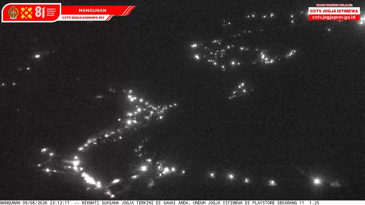
Bantul - ViewMangunan
🇮🇩 Yogyakarta · Indonesia — Altitude 328 m
This live stream looks out over Bantul, a regency just south of the city of Yogyakarta on the island of Java. The camera sits at an elevation of about 330 metres, so it gives a wider look over the surrounding area than a street-level feed. People watch it to check conditions before a trip or simply to see how the region looks at the moment.
Bantul lies in the Special Region of Yogyakarta, a region known for its strong Javanese culture, batik workshops, royal traditions and ancient temples. The landscape mixes rice fields, villages and low hills that rise toward the interior. Yogyakarta is one of Indonesia's best-known cultural centres, and Bantul is the area many travellers pass through on the way to the south coast and the surrounding countryside.
The title names a viewing point at Mangunan, so the feed is most likely a panoramic view over hills, forest and settlements rather than a close street scene. Depending on the view, you may see green terraces, scattered houses and haze over the valleys. Early morning often brings the clearest air, while afternoon clouds build quickly over the hills during the rainy season.
Yogyakarta has a tropical climate with warm temperatures all year. The dry season from roughly May to October is generally the most comfortable time to visit the hills, while November to March is wetter and greener. Several other cameras in the area, including the Imogiri royal tomb viewpoints and the Cinomati slope, are listed on this page for comparison of conditions across the region.
Source: cctv.jogjaprov.go.id
Yogyakarta, Indonesia — 3.8 km

Yogyakarta, Indonesia — 3.9 km

Yogyakarta, Indonesia — 4.1 km
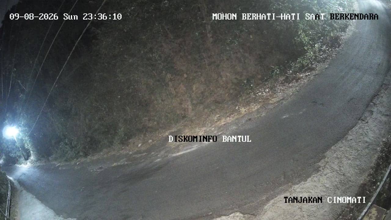
Yogyakarta, Indonesia — 6.6 km
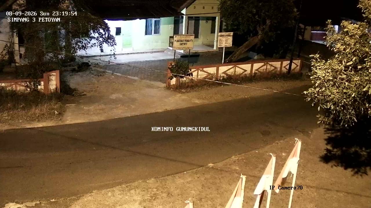
Yogyakarta, Indonesia — 8.1 km
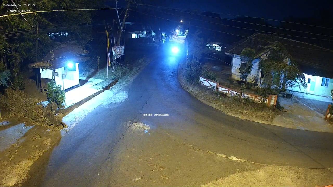
Yogyakarta, Indonesia — 8.2 km
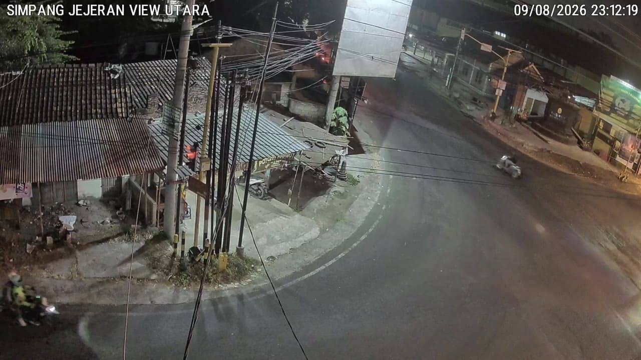
Yogyakarta, Indonesia — 8.7 km

Yogyakarta, Indonesia — 8.7 km
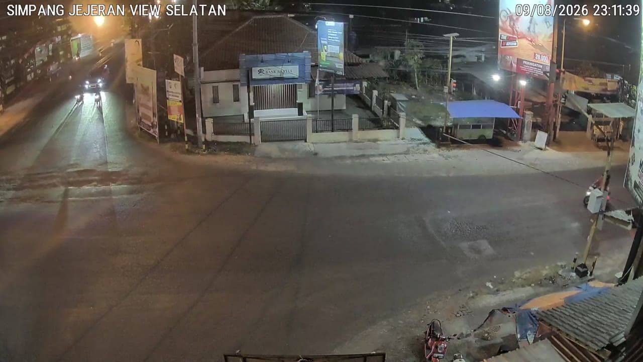
Yogyakarta, Indonesia — 8.7 km

Yogyakarta, Indonesia — 8.8 km
The current weather and a three-day forecast for Bantul are shown in the live block on this page, updated automatically. Check it before heading up into the hills, since conditions can change quickly.
The local time in Bantul is displayed on this page and follows Western Indonesia Time. The clock updates continuously alongside the live stream.
The camera is in the Bantul regency south of Yogyakarta, at roughly 330 metres above sea level. The map on this page marks its position and the nearby cameras in the area.
Mornings tend to offer the clearest views before clouds form over the hills. The dry months from May to October usually give the most consistent visibility.
Partner links: we may earn a commission at no extra cost to you.