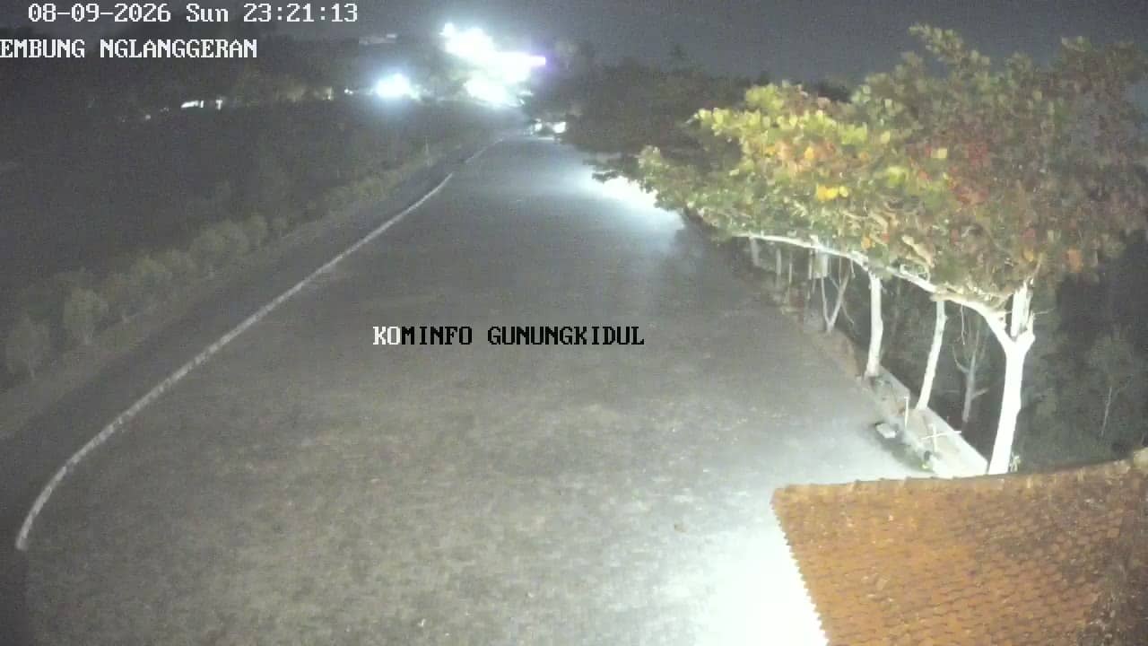
Gunungkidul - ParkiranEmbungNglanggeranFix
Yogyakarta, Indonesia — 1.6 km
The camera is temporarily offline
The owner's stream is not available right now. Try again later or watch a camera nearby.
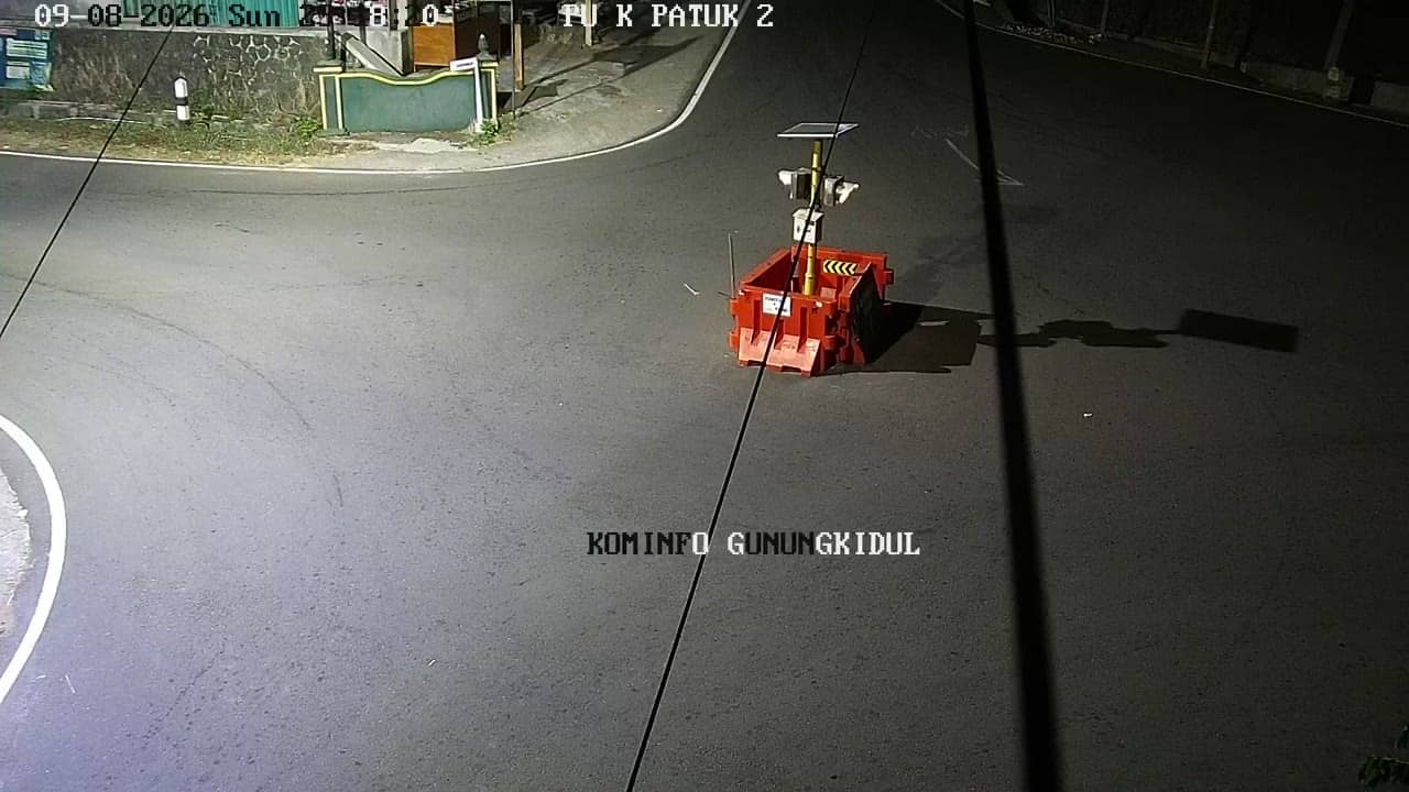
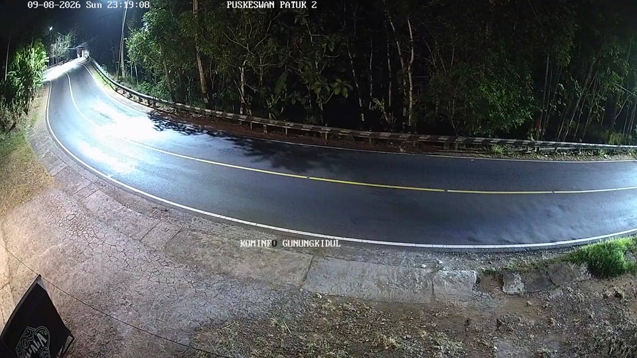
Gunungkidul - PuskesmasPatukII
🇮🇩 Yogyakarta · Indonesia — Altitude 349 m
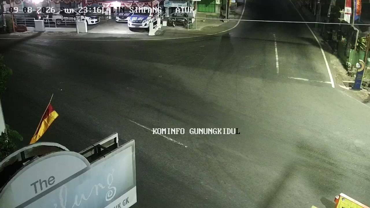
This live stream looks over a street in Gunungkidul, a regency in the hilly southeast of Yogyakarta Special Region on Java. It is a useful window onto everyday rural-town life in the area. Use it to see conditions in the district before you travel or to check how busy the road is.
Gunungkidul sits on the limestone plateau of southern Java, a dry, karst landscape of hills, caves and dry valleys. The name means roughly mountain of Kidul, referring to the southern sea. The regency is known for its scenic hills, the Nglanggeran volcanic heritage village, and a mix of farming and small-town life. The camera is set at around 350 metres above sea level, so the air is often cooler than in the city of Yogyakarta.
The camera follows a local road near a health centre, so what you see depends on the street itself rather than a famous landmark. Traffic, motorbikes and pedestrians are the likeliest things in view. Mornings and late afternoons usually show the most movement, while the middle of the day can be quieter. Weather changes quickly on the plateau, so the view can shift from bright sun to cloud or rain within an hour.
Yogyakarta has a tropical climate with a wet season from roughly November to March and a drier period from April to October, which is generally the better time to visit the hills. Getting around usually means a rented motorbike, a car with a driver or local transport from Yogyakarta. Several other cameras in the Nglanggeran area, a short distance away, show nearby parking areas and village viewpoints.
Source: cctv.jogjaprov.go.id
Yogyakarta, Indonesia — 1.6 km
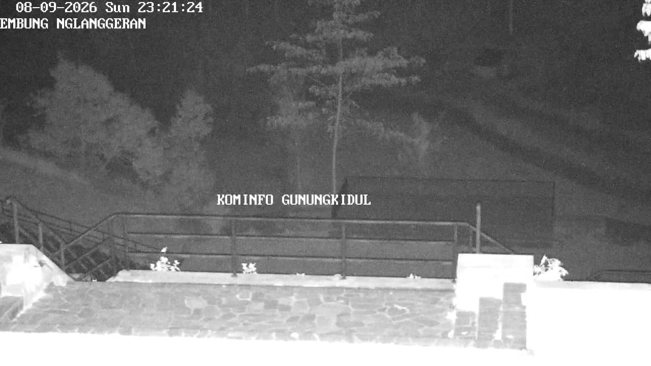
Yogyakarta, Indonesia — 1.6 km
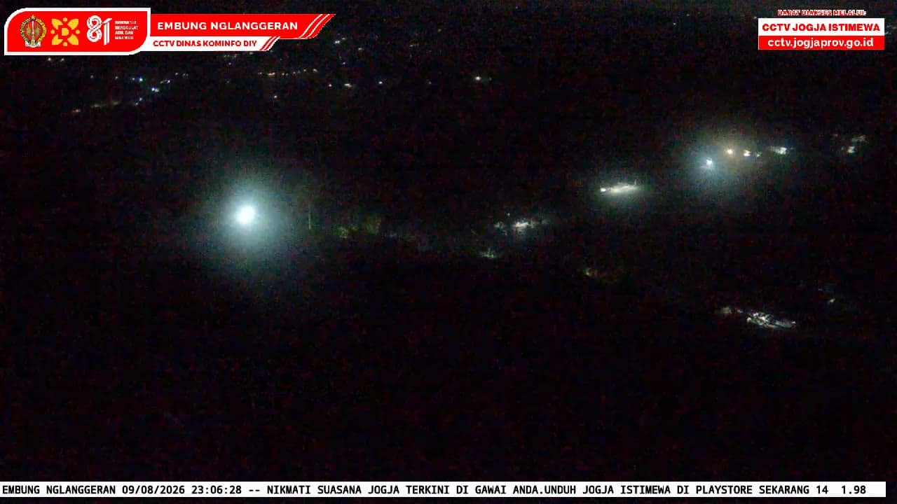
Yogyakarta, Indonesia — 1.7 km
Yogyakarta, Indonesia — 3.2 km

Yogyakarta, Indonesia — 3.9 km
Yogyakarta, Indonesia — 3.9 km
Yogyakarta, Indonesia — 3.9 km
Yogyakarta, Indonesia — 4.6 km
Yogyakarta, Indonesia — 6 km

Yogyakarta, Indonesia — 6.2 km
The current conditions and a three-day forecast are shown in the live weather block on this page. They update automatically, so check there for temperature, rain and wind before you plan a trip.
The local time is shown on this page and follows Western Indonesian Time. It updates live, so you can compare it with your own time zone before calling or visiting.
The camera is in Gunungkidul regency in Yogyakarta Special Region, on the southern part of Java. The map on this page marks its position, and nearby cameras are listed below it.
Daylight hours show the most activity on the street. Early morning and late afternoon are often busiest, while clouds and rain in the wet season can reduce visibility.
Partner links: we may earn a commission at no extra cost to you.