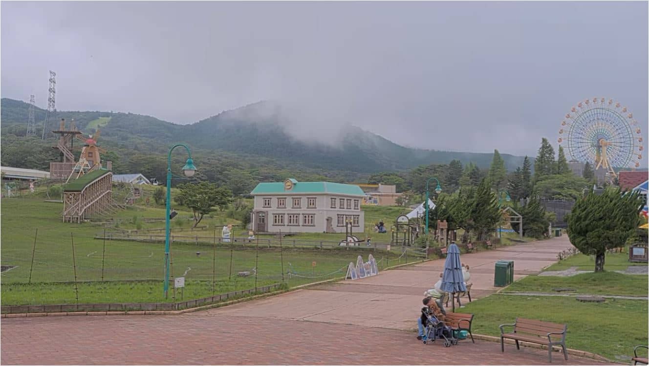
Susono - Grinpa - Mont Fuji 2e station
Shizuoka, Japan — 8.9 km
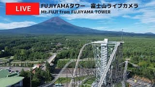
Fujinomiya - FUJIYAMAタワーライブカメラ
🇯🇵 Shizuoka · Japan — Altitude 3736 m
This camera watches the Fujiyama area of Fujinomiya in Shizuoka Prefecture, where Japan's highest peak rises above the surrounding forests and farmland. Open it to see the mountain as it is right now, whether cloud is covering the summit, and how the light changes through the day. The live player is paired with local weather and time so you can plan a visit around the view.
Fujinomiya sits on the southern slopes of Mount Fuji, in Shizuoka Prefecture, Japan. The mountain is an active volcano standing about 3,700 metres high and is one of the country's most recognised landmarks. The city is the traditional gateway to the Yoshida trail, the best known route to the summit. Its landscape mixes volcanic foothills, forest and water sourced from the mountain, which is why the area is famous for clear springs.
The camera is set on the Fujiyama tower area, so the main subject is the mountain itself, seen from the town side. Clear mornings tend to give the sharpest outline, while afternoon clouds often gather around the upper slopes. Sunrise and sunset change the colour of the snow in winter and of the rock in summer. Because the peak is frequently hidden by weather, checking the live view before travelling saves disappointment.
Spring and autumn usually offer the most stable weather for seeing the peak, while winter brings snow but also strong winds and cold. Summer is hot in the lowlands and the climbing season on the mountain runs roughly from early July to early September. Trains and buses connect Fujinomiya with Shizuoka and Tokyo. Nearby on VizCams are views from Susono, Oyama, Yamanakako and Yamanashi, which show the mountain from other sides.
Source: CamStreamer
Shizuoka, Japan — 8.9 km
Shizuoka, Japan — 12 km
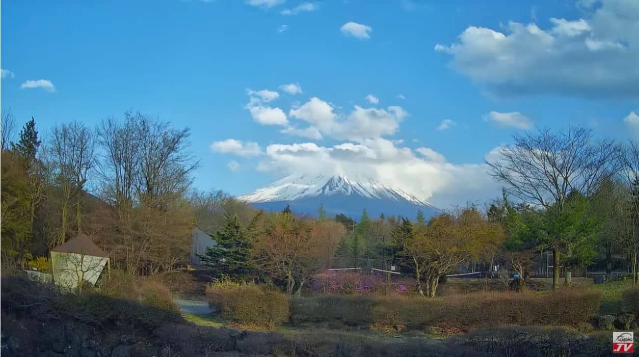
Shizuoka, Japan — 13 km
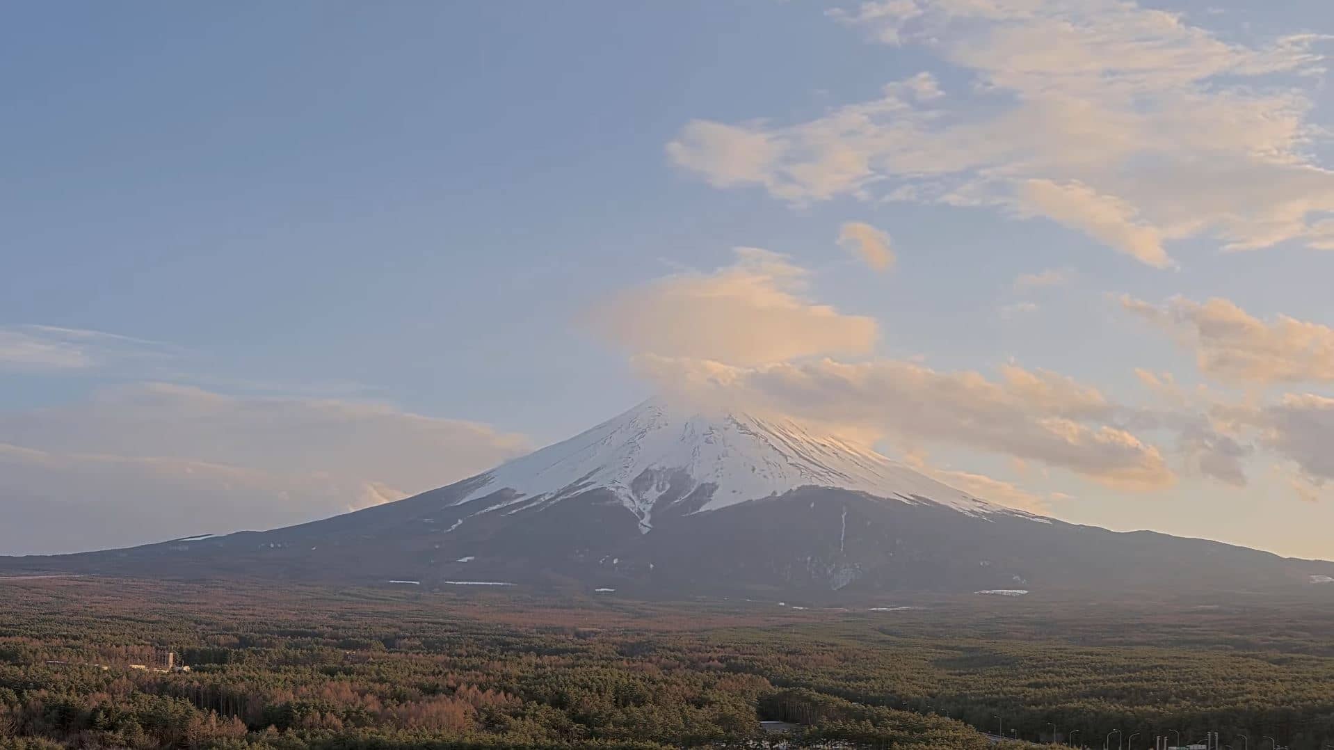
Yamanashi, Japan — 14 km
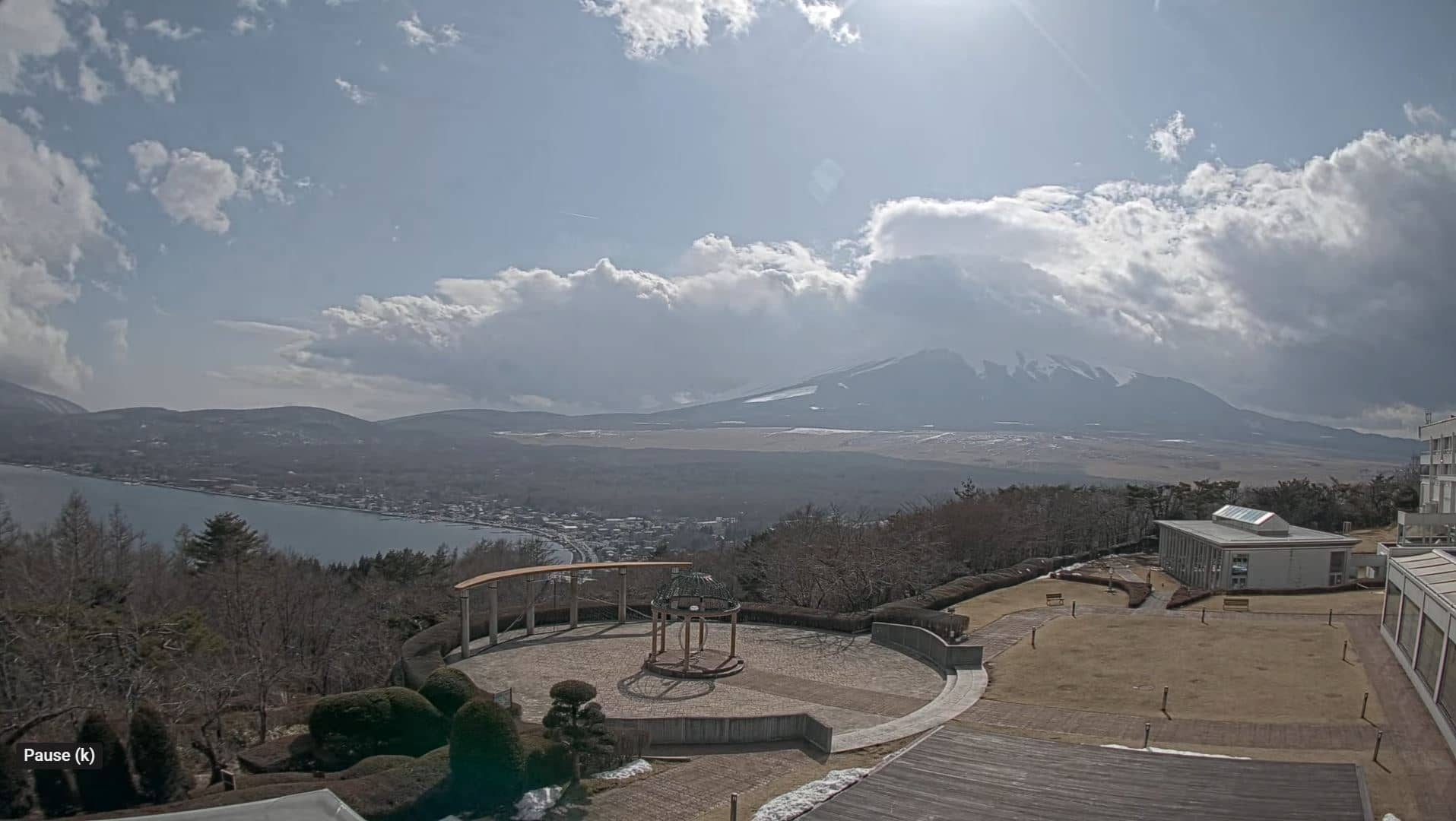
Yamanashi, Japan — 14 km
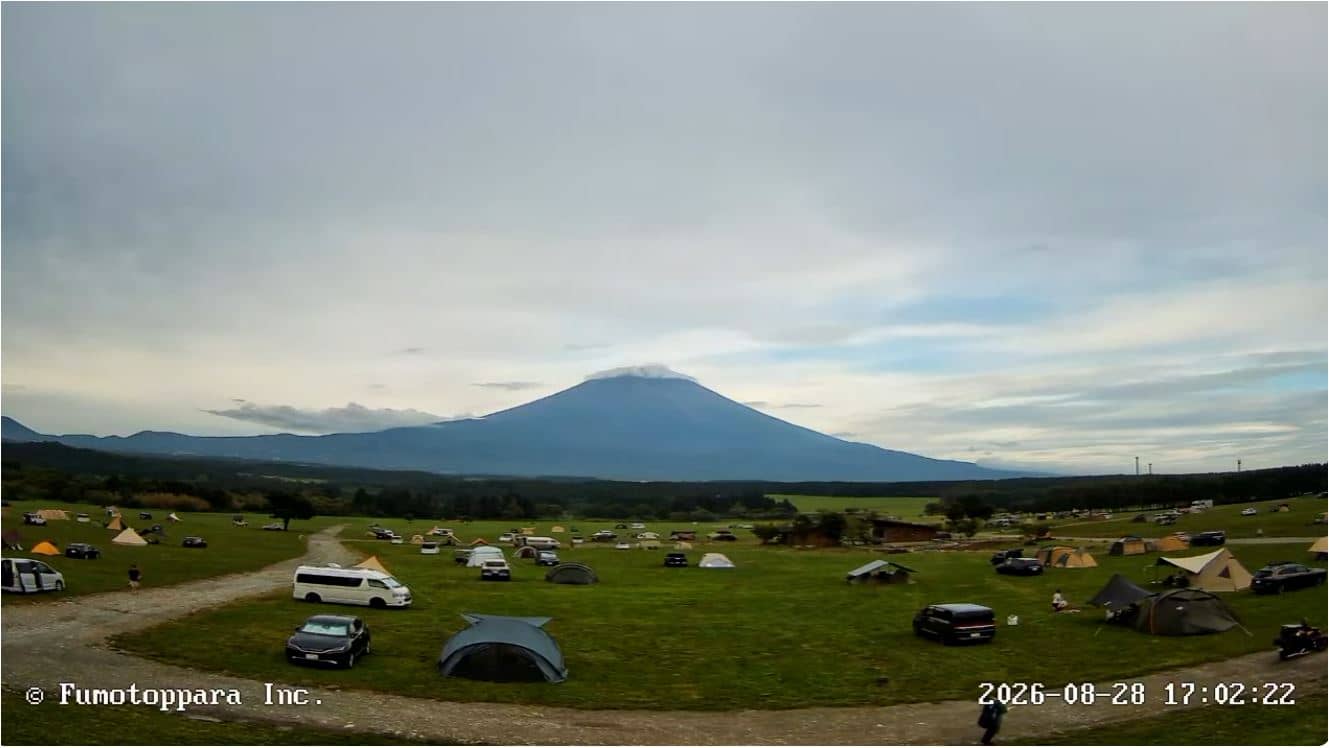
Shizuoka, Japan — 16 km
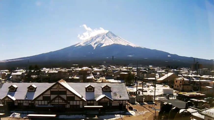
Shizuoka, Japan — 16 km
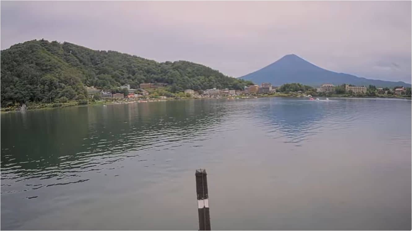
Yamanashi, Japan — 16 km
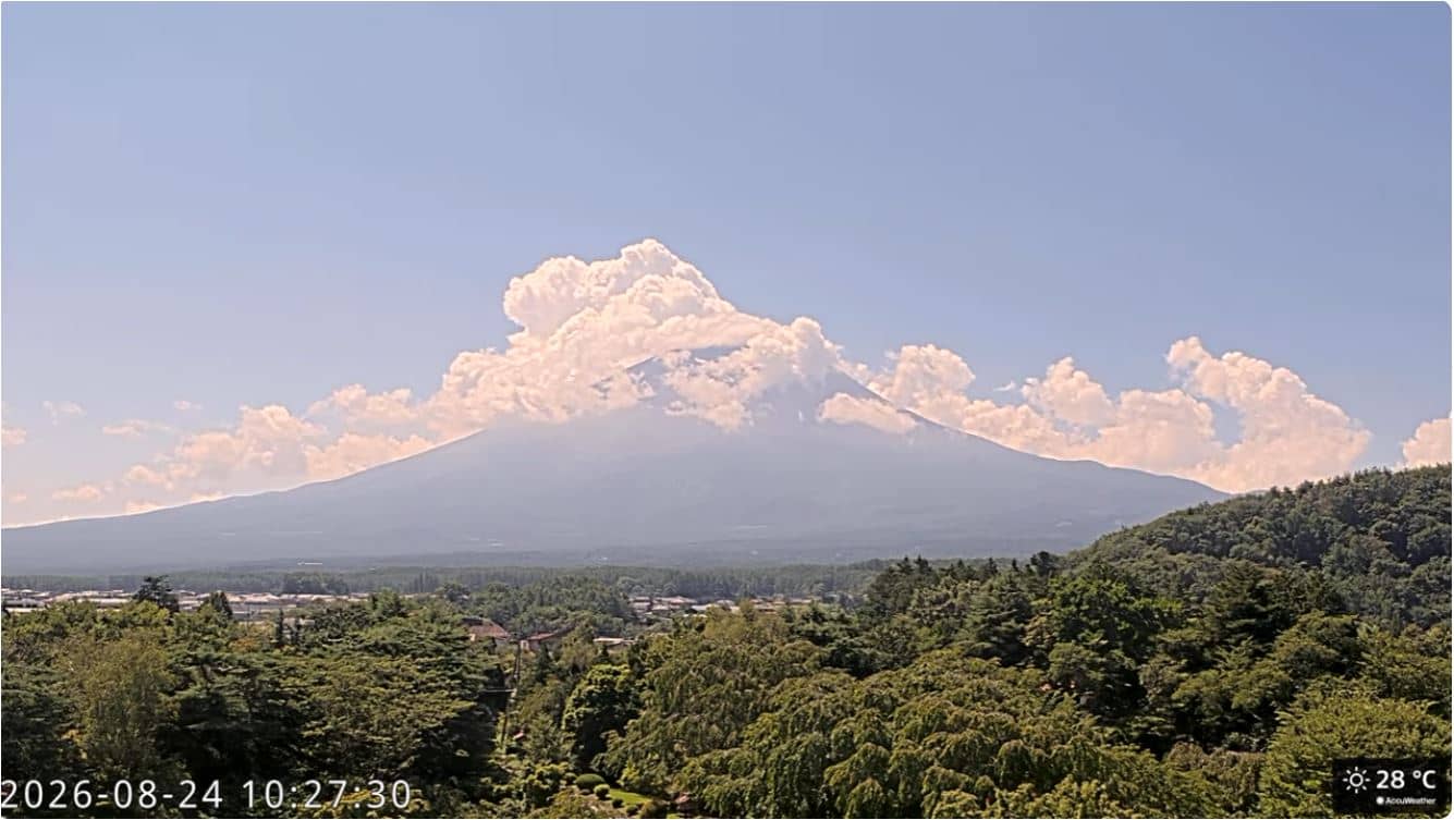
Yamanashi, Japan — 16 km
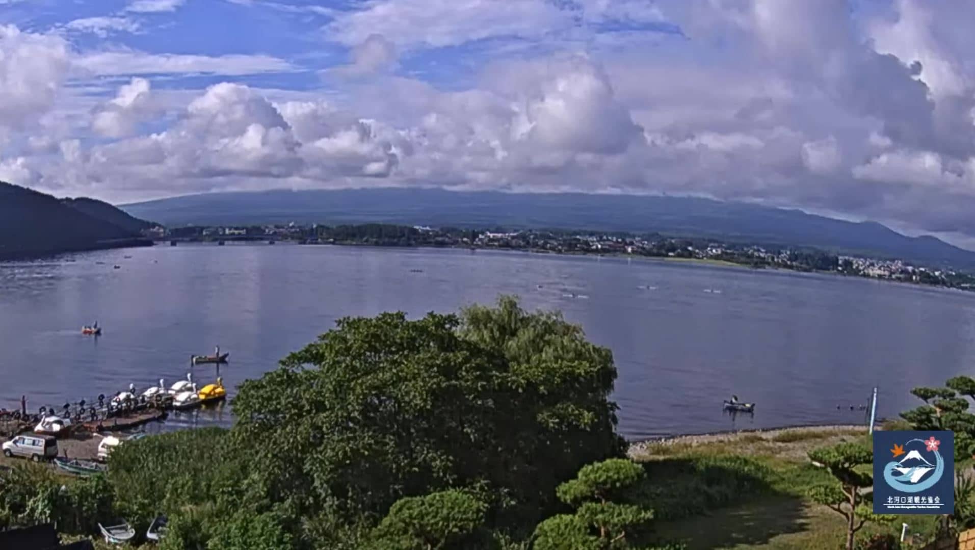
Yamanashi, Japan — 17 km
The current conditions and a three-day forecast are shown in the weather block on this page. Cloud around the summit can change quickly, so check the live view alongside the forecast.
The local time for Fujinomiya is displayed on this page and updates automatically. Japan uses a single time zone across the whole country.
The camera is in Fujinomiya, Shizuoka Prefecture, on the southern side of Mount Fuji at roughly 3,700 metres of mountain elevation. The map on the page marks its position.
Mornings in autumn and spring often give the clearest view of the peak. Winter can show snow on the summit, but cloud and wind are more frequent, so check the live feed before you rely on it.
Partner links: we may earn a commission at no extra cost to you.