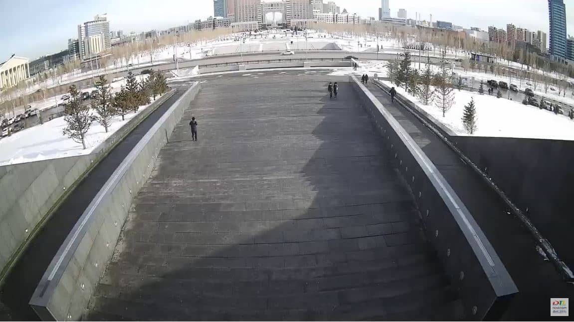
Astana - Khan Shatyr
Astana, Kazakhstan — 190 km
Karaganda - Pont Boukhar-Jyrau
🇰🇿 Karaganda · Kazakhstan — Altitude 550 m
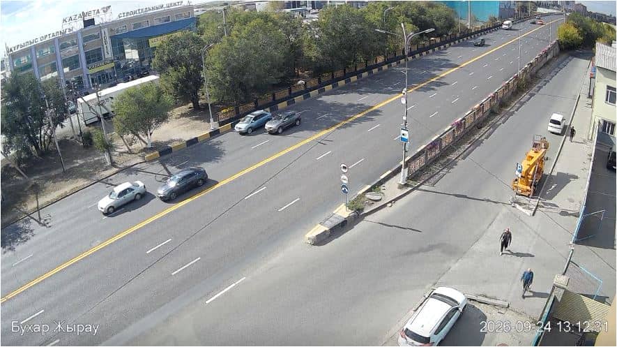
This live stream looks out over the Boukhar-Jyrau Bridge in Karaganda, a large industrial and university city on the steppe of central Kazakhstan. It suits anyone who wants to see the city's current conditions or check how the weather is developing before a trip. The page also shows local time and a three-day forecast.
Karaganda grew around coal mining in the twentieth century and is still one of the main industrial centres of the country. It sits at roughly 550 metres above sea level on open steppe, so the landscape is broad and flat, with wide skies. The city has a large student population, several museums and theatres, and a mix of Soviet-era avenues and newer districts. The bridge links parts of the urban area across the local river valley.
The camera is titled after the bridge, so the view is most likely centred on the crossing and the traffic moving over it. Daylight gives the clearest picture, while early morning and late afternoon often bring softer light across the steppe. Clear winter days can look crisp and snow-covered, and summer storms may build quickly over the open land. Check the live player and the weather block to see what conditions are like right now.
Karaganda has a sharply continental climate, with hot dry summers and long, cold winters that often bring heavy snow and strong winds. Late spring and early autumn are generally the most comfortable times to visit. The city is served by an airport and rail connections, and the national capital Astana, with its own camera on this site, lies about 190 kilometres to the north.
Source: Fish-Net
Astana, Kazakhstan — 190 km
Bishkek, Kyrgyzstan — 779 km
Bishkek, Kyrgyzstan — 779 km
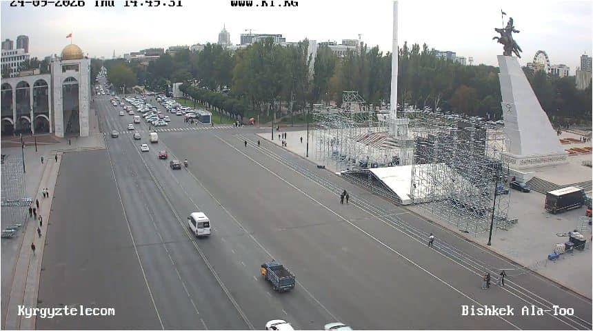
Bishkek, Kyrgyzstan — 779 km
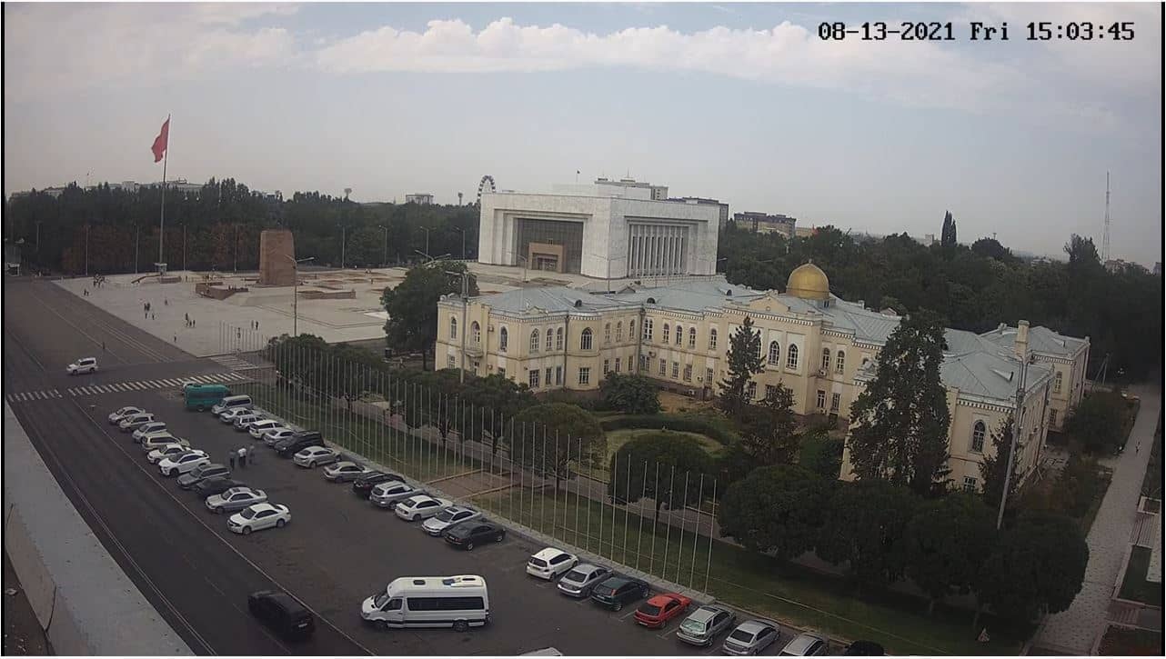
Bishkek, Kyrgyzstan — 779 km
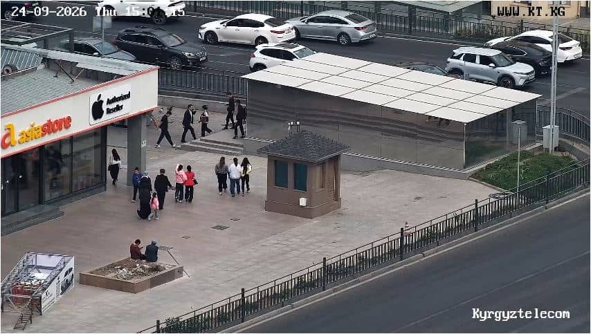
Bishkek, Kyrgyzstan — 779 km
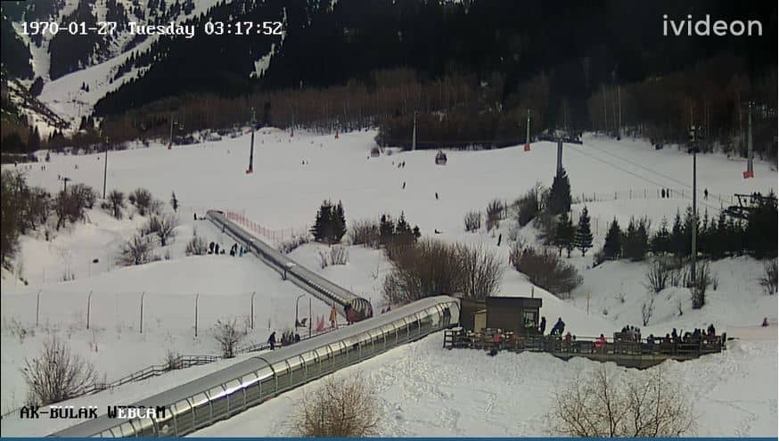
Almaty Region, Kazakhstan — 785 km
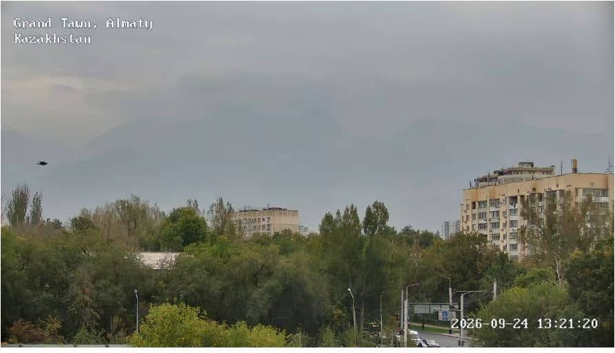
Almaty Region, Kazakhstan — 786 km
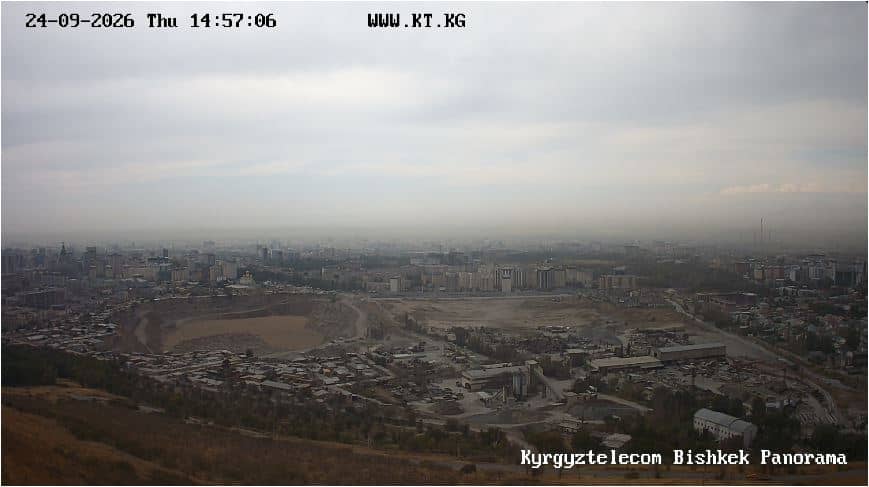
Bishkek, Kyrgyzstan — 787 km
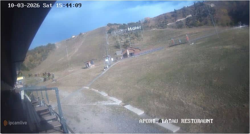
Almaty Region, Kazakhstan — 793 km
The current conditions and a three-day forecast for Karaganda are shown in the weather block on this page. The figures update alongside the live stream, so you can compare what the camera shows with the temperature and wind.
The local time for Karaganda is displayed on this page and updates continuously. Kazakhstan uses a single time zone across the country, so the clock matches the time in the rest of the country.
The camera is positioned at the Boukhar-Jyrau Bridge in Karaganda, in central Kazakhstan at about 550 metres above sea level. The map on this page marks the exact location of the city and the camera.
Daylight hours give the clearest view, and early morning or late afternoon light is often the most pleasant. Winter views can show snow and clear cold air, while summer offers longer days and more chance of dramatic skies.
Partner links: we may earn a commission at no extra cost to you.