
Playa del Carmen
Quintana Roo, Mexico — 3.1 km
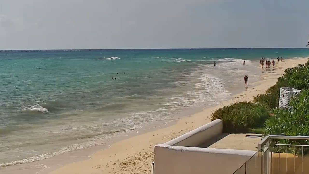
Playa del Carmen - Plage de
🇲🇽 Quintana Roo · Mexico — Altitude 3 m
This live view looks over a beach on the Caribbean coast of Quintana Roo in southeastern Mexico. It is a quick way to check how the sea and sky look before you plan a day in Playa del Carmen. The stream is provided by its owner and embedded here with a link to the source.
Playa del Carmen sits on the Riviera Maya, a stretch of coast south of Cancun known for white sand, shallow turquoise water and a relaxed pace. The town grew from a fishing village into a busy resort base with restaurants, shops and easy access to cenotes, the Mayan ruins of Tulum and the offshore reefs. The flat, low coastline is typical of this part of the Yucatan Peninsula.
Depending on the framing of the camera, you may see the shoreline, the color of the water and the movement of waves and people on the sand. Conditions change quickly here, so the view is most useful in the morning, when the sea is often calmer, and in the afternoon, when clouds can build over the Caribbean. Watch for wind and sargassum, which can change how the beach looks from one day to the next.
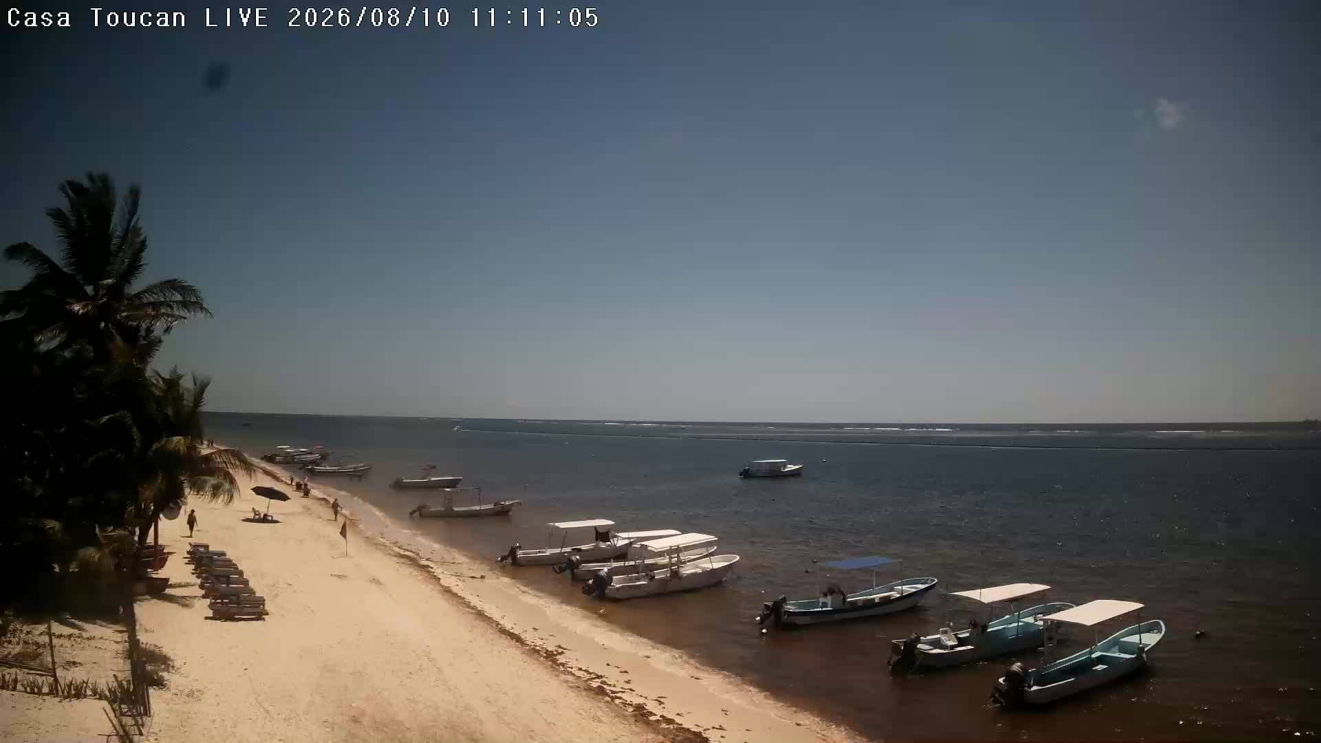
The climate is tropical and warm throughout the year, with a rainy season from roughly June to November, when hurricanes are possible. Drier and cooler months from December to April are the most popular time to visit. Playa del Carmen is well connected by road and has an international airport at Cancun, about an hour to the north. Nearby cameras include Xpu Ha, Puerto Morelos and Casa Toucan 2 in Alfredo V. Bonfil.
Source: thesurfersview.com
Quintana Roo, Mexico — 3.1 km
Quintana Roo, Mexico — 24 km
Quintana Roo, Mexico — 29 km
Quintana Roo, Mexico — 32 km
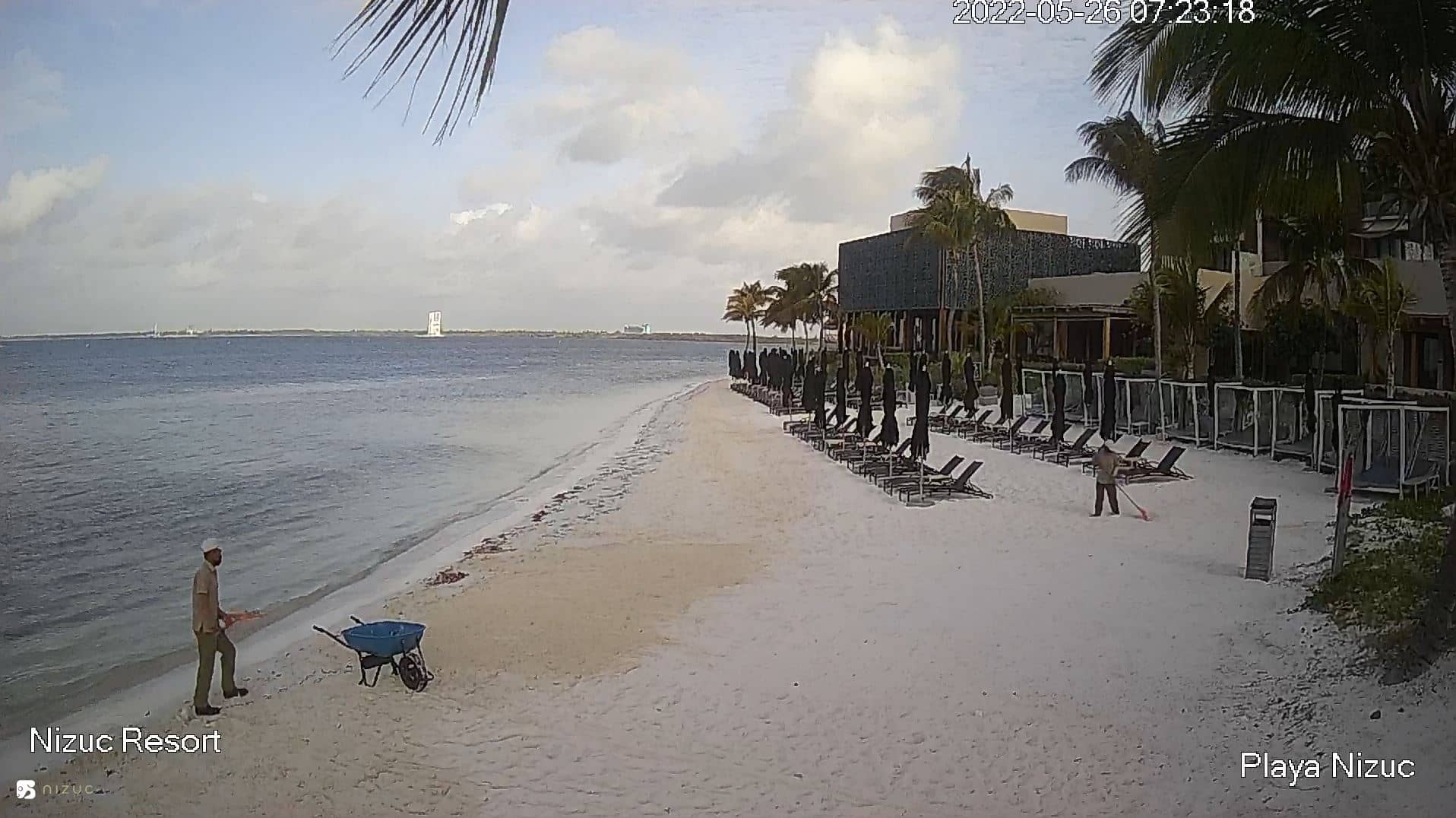
Quintana Roo, Mexico — 55 km
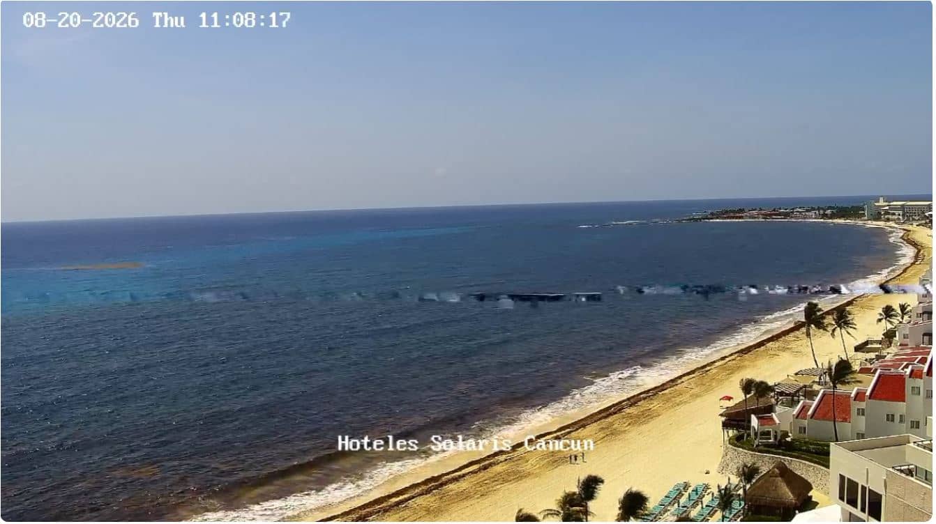
Quintana Roo, Mexico — 56 km
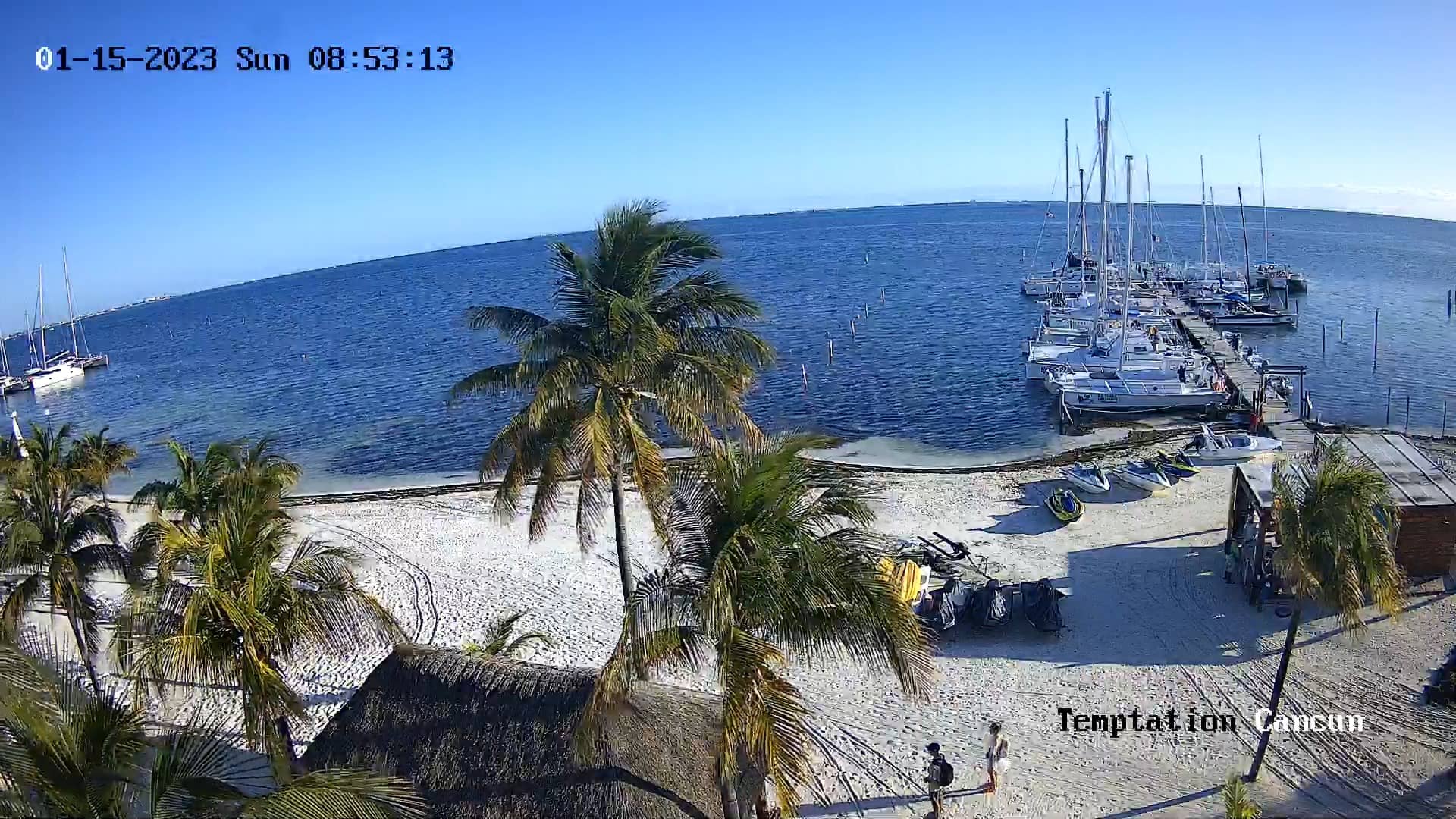
Quintana Roo, Mexico — 65 km
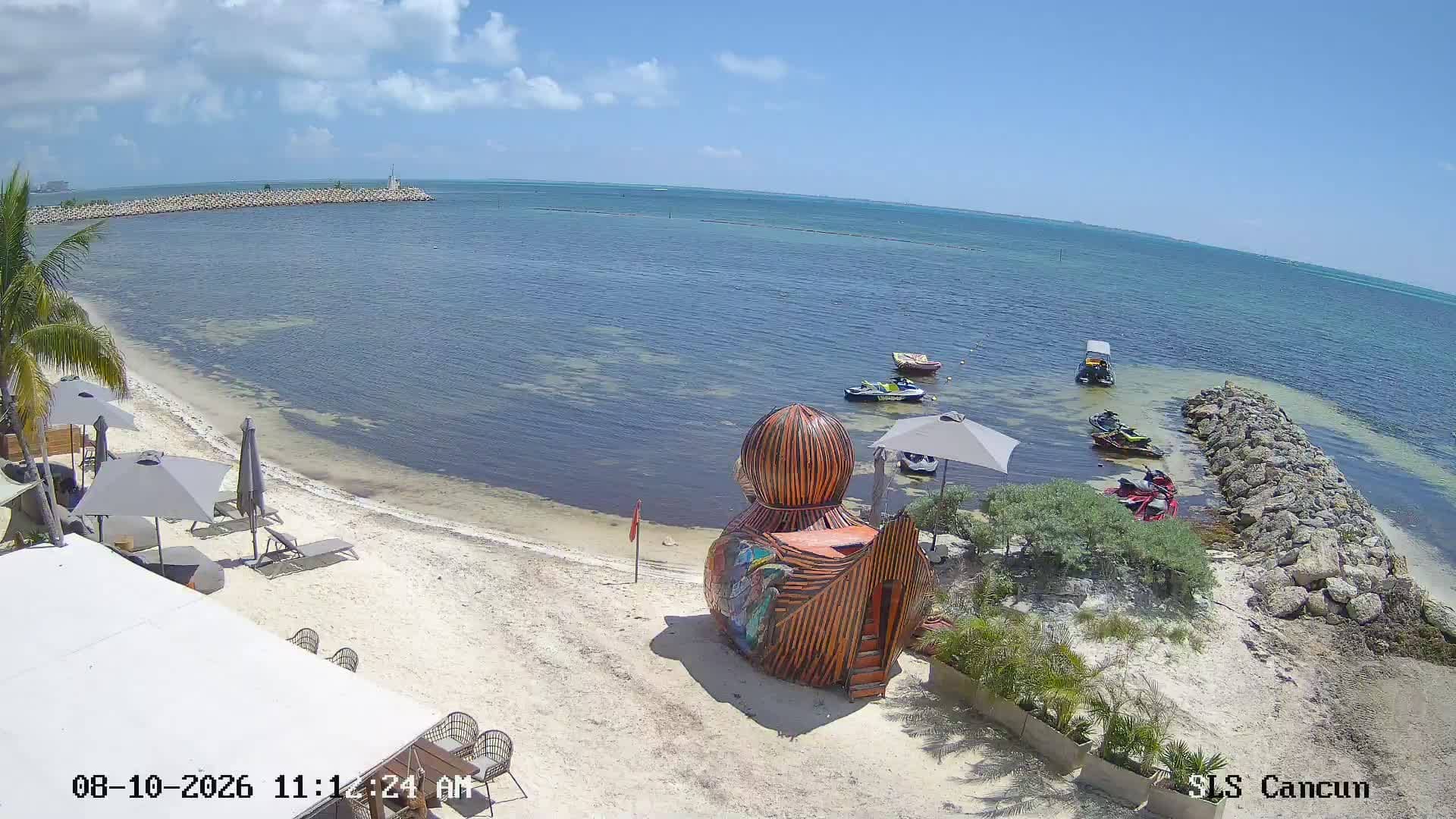
Quintana Roo, Mexico — 66 km
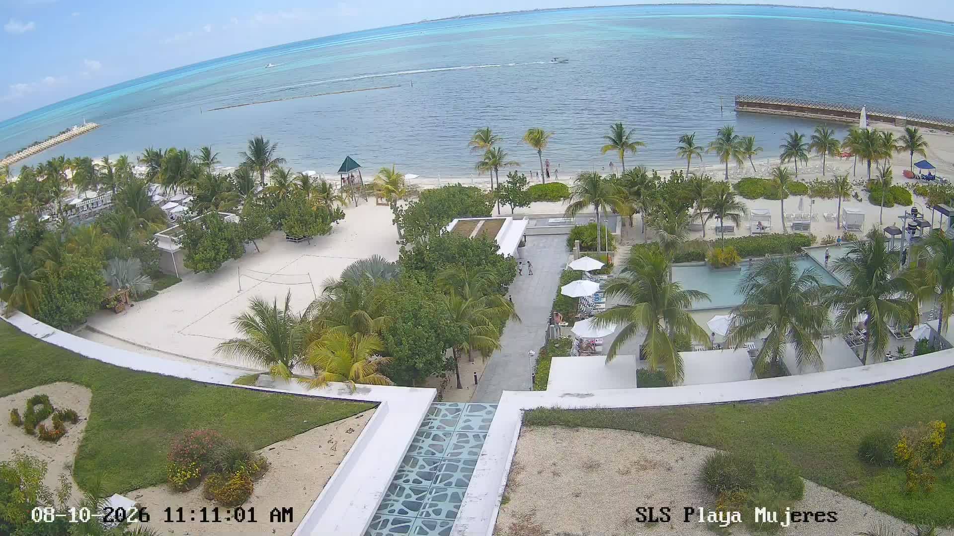
Quintana Roo, Mexico — 73 km
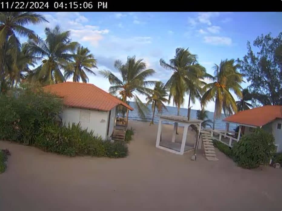
Belize District, Belize — 307 km
Current conditions and a three-day forecast are shown in the live weather block on this page, updated automatically for the location.
The local time is displayed on the page and updates continuously, so you can see the time of day on the coast before you watch the view.
The camera is on the Caribbean coast of Quintana Roo, Mexico, at about 20.63 degrees north and 87.07 degrees west. The map on this page shows the exact position.
Mornings are often calmer for the sea, while afternoons can bring clouds and rain showers in the wetter months. Checking the live weather block helps you decide when to look.
Partner links: we may earn a commission at no extra cost to you.