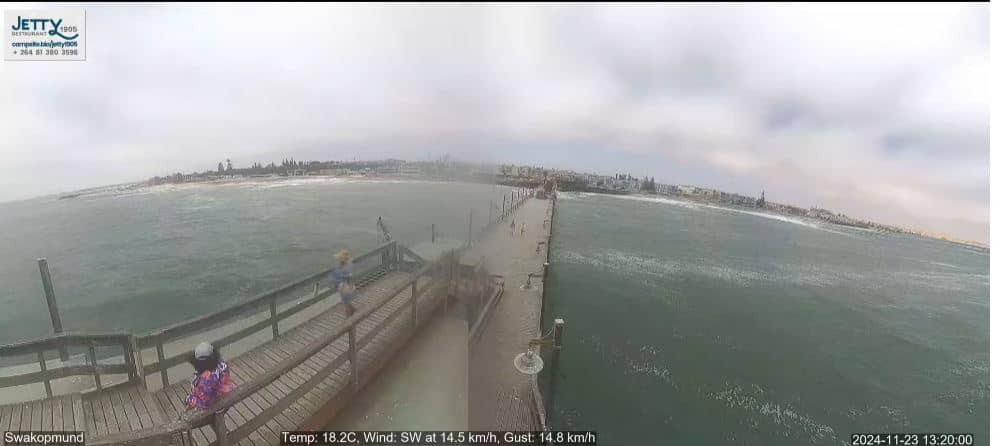
Swakopmund
Erongo, Namibia — 5.4 km
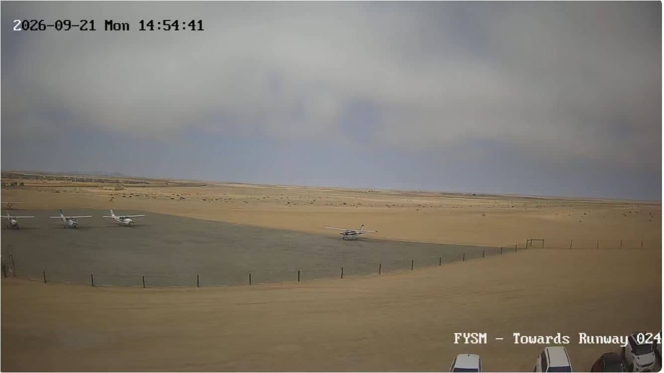
Swakopmund - Airport FYSM Runway 024
🇳🇦 Erongo · Namibia — Altitude 52 m
This live stream looks down the runway of Swakopmund Airport on Namibia's Atlantic coast. It suits anyone following flights in and out of the town, or planning a trip and wanting to see the desert coast conditions before arriving.
Swakopmund sits on the Namib Desert coast, where cold Benguela current waters meet dunes that run almost to the sea. The town has a German colonial past, visible in its architecture, and today it is a base for desert excursions, sandboarding and birdwatching on the lagoon. Its air is often cooler and foggier than inland Namibia, which gives the coast a distinctive, quiet character.
The feed is a view of the airfield and its runway, so the picture is mostly about aircraft movements, open ground and sky. Depending on the view, you may see planes taking off or landing and changes in visibility as sea fog rolls in or lifts. Mornings are often the clearest, while fog can reduce detail for much of the day on this coast.
The coast is cool and dry for most of the year, with morning fog common and little rain. Warm, calm days are most typical in the cooler months from May to October, though conditions vary. Swakopmund is about 5 km from the airport camera, and the nearby Hardap and Windhoek cameras show other parts of the country.
Source: youtube.com
Erongo, Namibia — 5.4 km
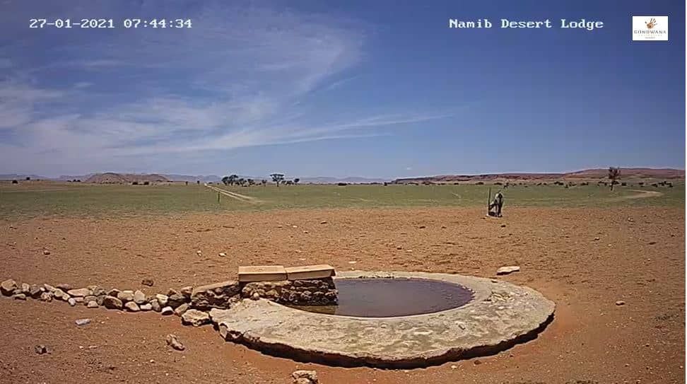
Hardap Region, Namibia — 212 km

Erongo, Namibia — 248 km
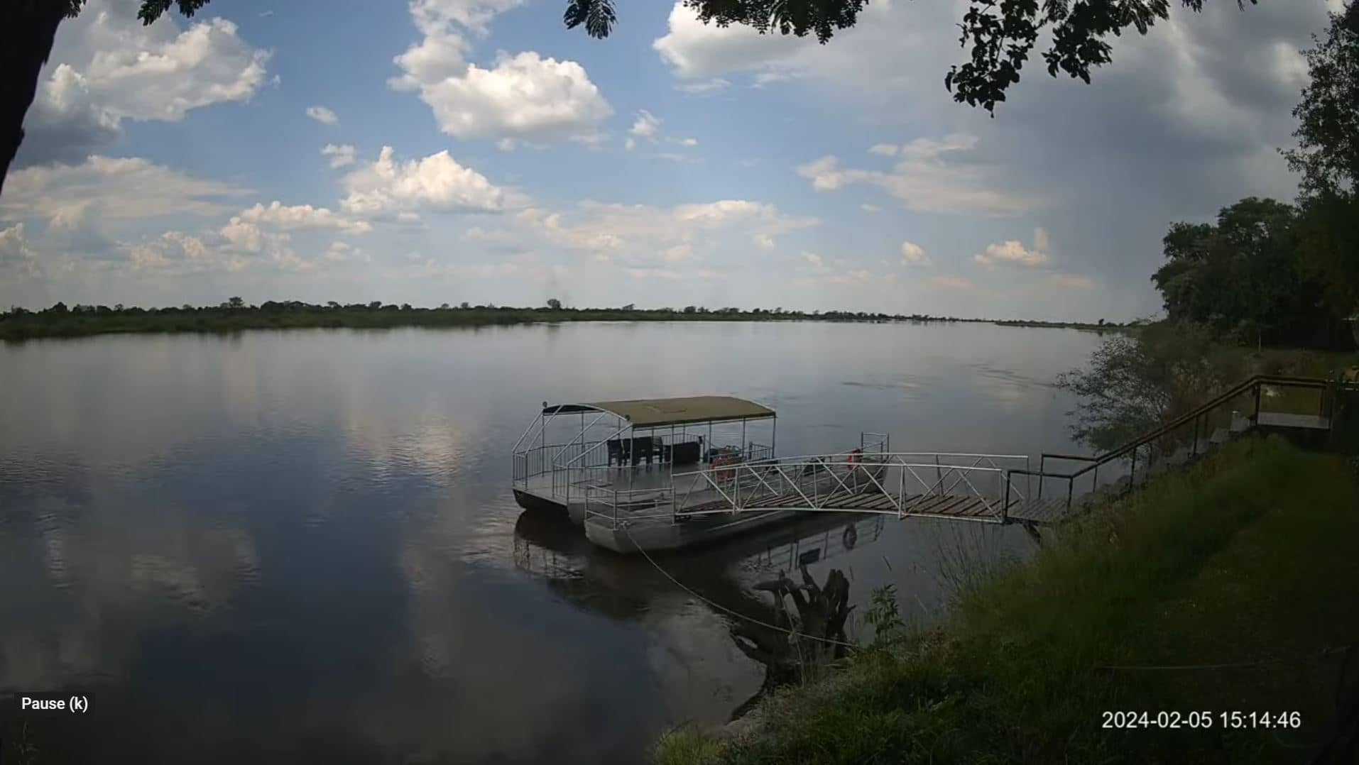
Erongo, Namibia — 1189 km

North West, South Africa — 1206 km
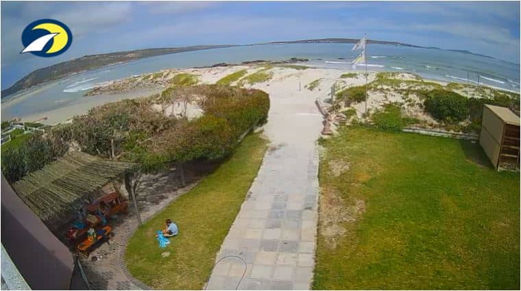
Western Cape, South Africa — 1208 km
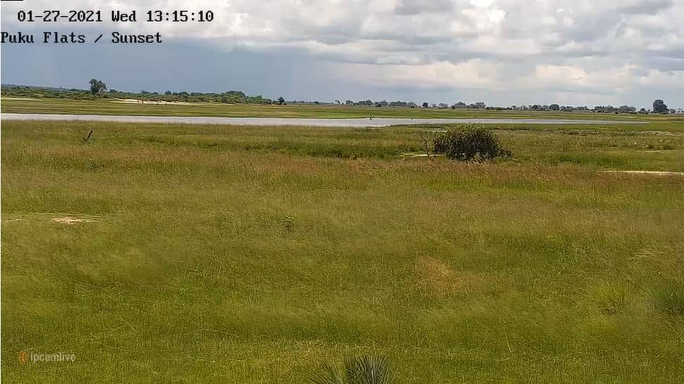
Chobe District, Botswana — 1219 km
Chobe District, Botswana — 1231 km
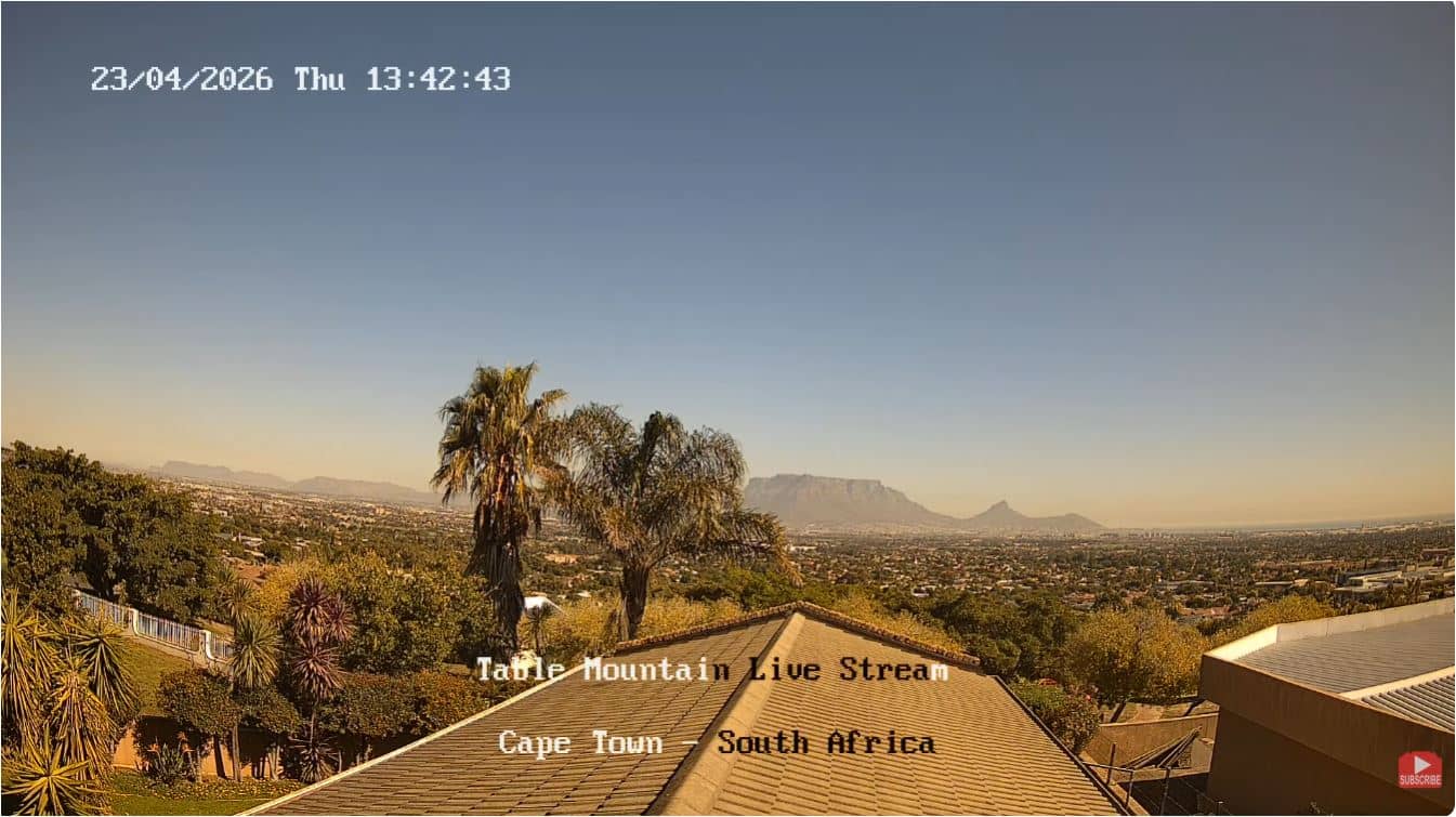
Western Cape, South Africa — 1300 km
Western Cape, South Africa — 1304 km
The current conditions and a three-day forecast are shown in the weather block on this page. They update regularly, so check there for the latest values.
The local time is displayed on this page and follows the time in Namibia. Use it to plan when to watch the stream.
The camera is at Swakopmund Airport, on the Namibian coast near the town, and the map on this page marks its position.
Mornings are often clearer before fog builds, and daytime gives the most activity. Visibility depends on the weather, so the live view is the best guide.
Partner links: we may earn a commission at no extra cost to you.