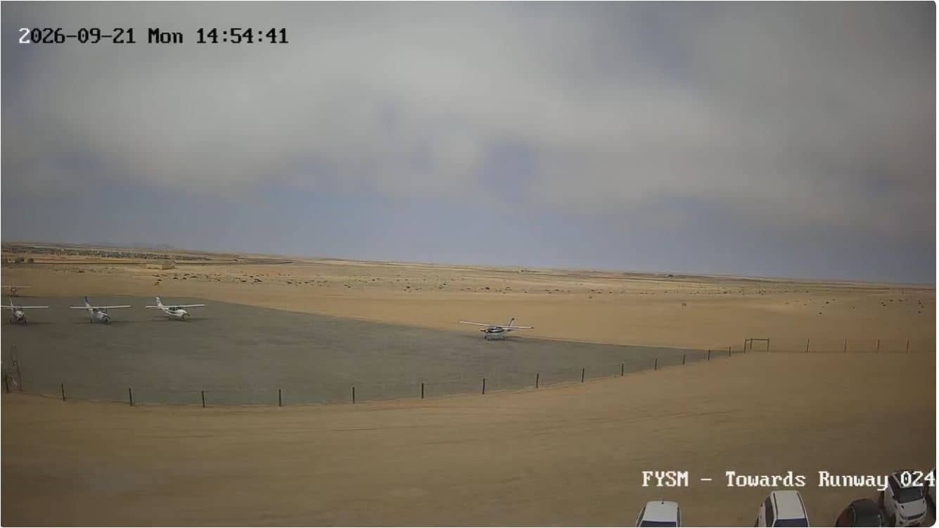
Swakopmund - Airport FYSM Runway 024
Erongo, Namibia — 5.4 km
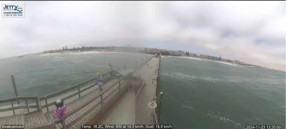
🇳🇦 Erongo · Namibia — Altitude 4 m
This live stream looks out over Swakopmund, the coastal town on the Atlantic shore of Namibia. The view lets you check conditions on the coast before you plan a walk, a drive or a visit. The page also shows local time and the weather for the town.
Swakopmund sits where the Namib Desert meets the cold Atlantic Ocean, roughly 4 metres above sea level. German colonial architecture, wide streets and a long sandy shoreline give the town a distinct character unlike most of Africa. It is known as a base for adventure activities such as dune excursions, quad biking and sandboarding, and as a gateway to the surrounding desert landscapes.
Depending on the view, you may see the seafront, the sky over the ocean and the movement of the coastal weather. Morning often brings fog drifting in from the sea, which usually clears as the day warms. Late afternoon tends to give the clearest light for judging visibility and conditions along the shore.
The coast is considerably cooler than inland Namibia, and the air is often misty or overcast, especially in the cooler months. Visitors usually find the drier, sunnier periods the most comfortable for beach and desert trips. Several other cameras in the region, including one at Swakopmund airport about 5 km away, are listed on this page for comparison.
Source: Namibia Webcam
Erongo, Namibia — 5.4 km
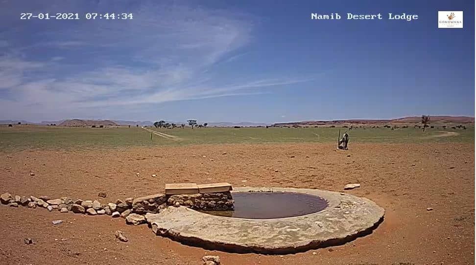
Hardap Region, Namibia — 213 km
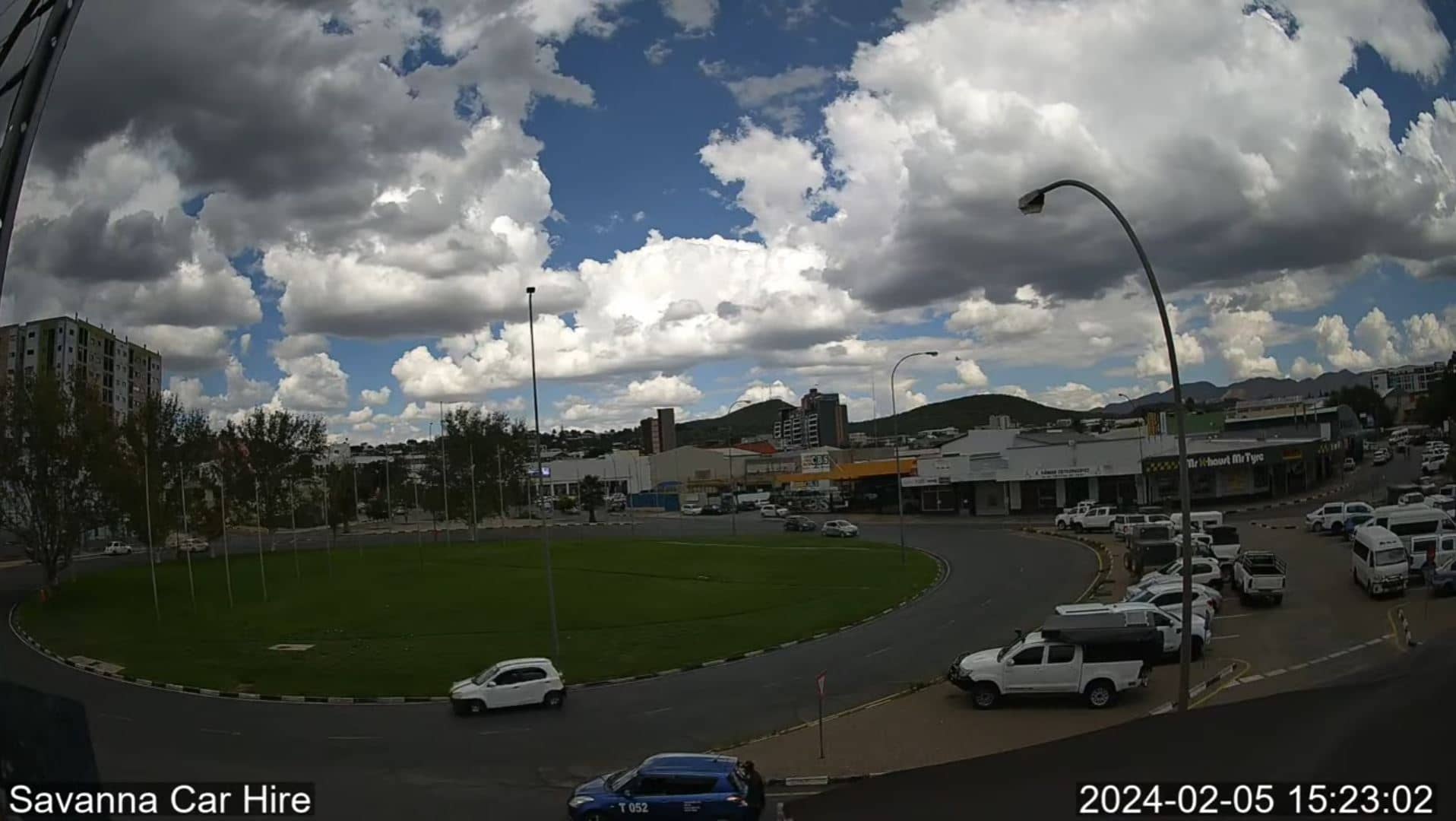
Erongo, Namibia — 253 km
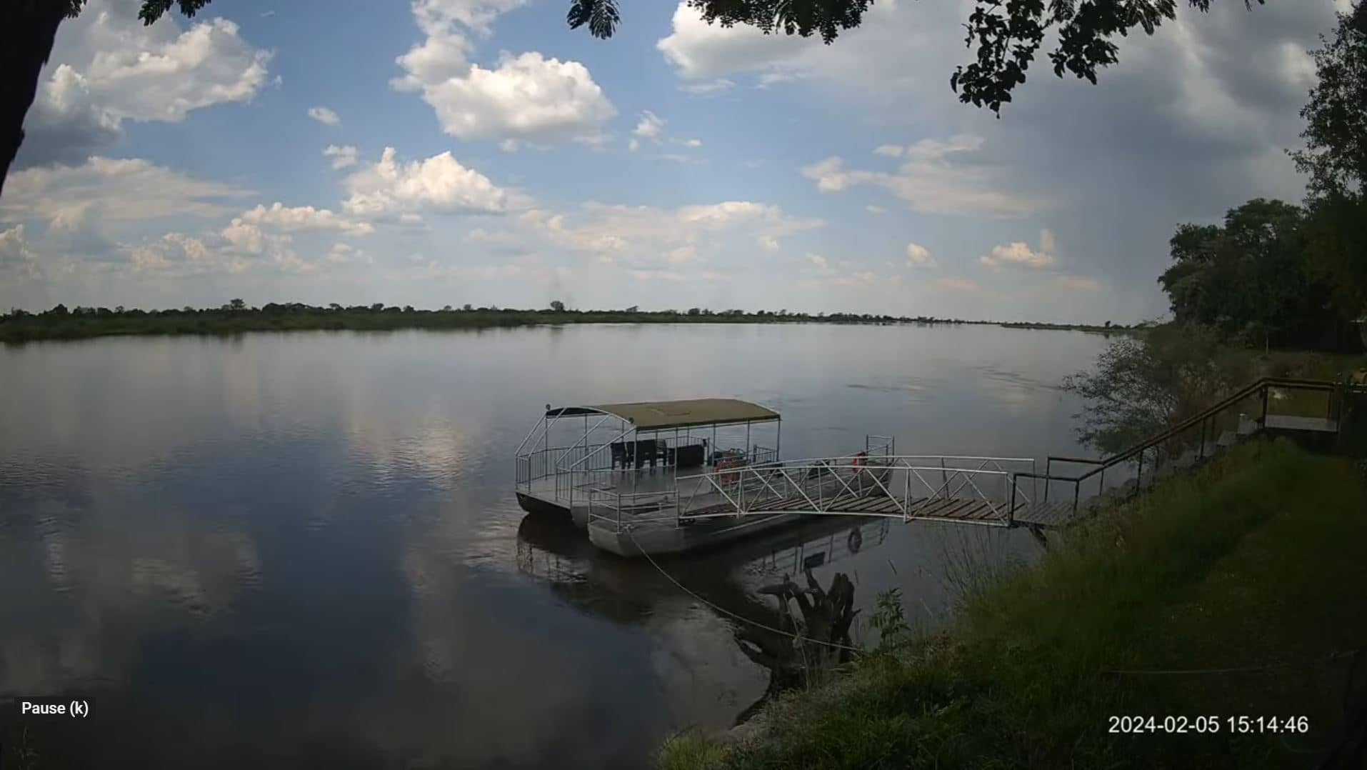
Erongo, Namibia — 1194 km
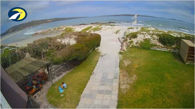
Western Cape, South Africa — 1207 km
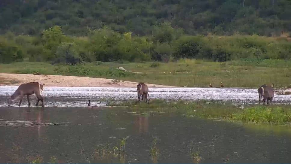
North West, South Africa — 1211 km
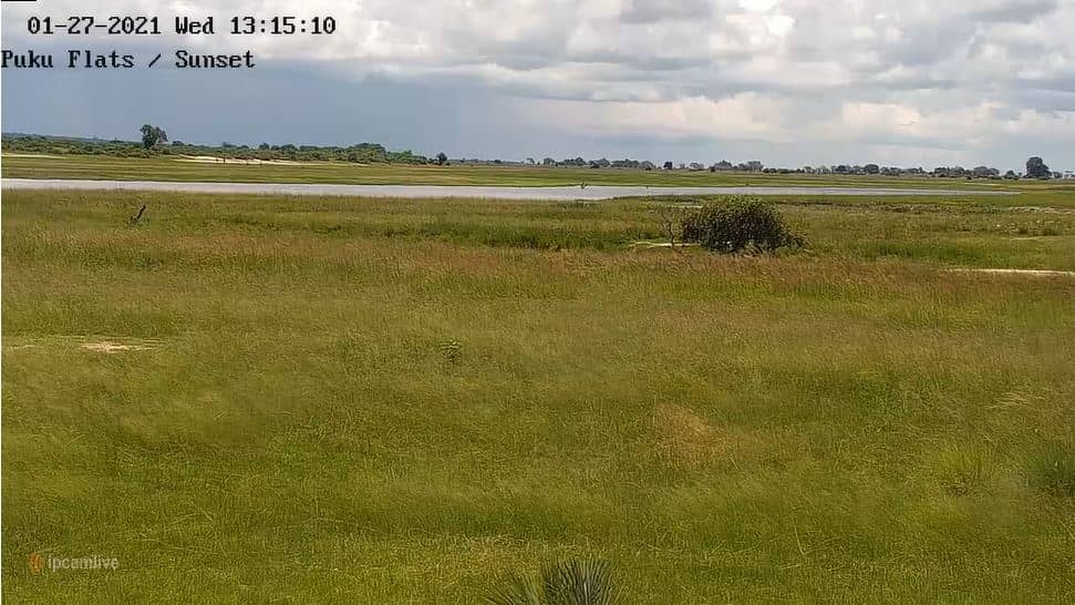
Chobe District, Botswana — 1225 km

Chobe District, Botswana — 1236 km
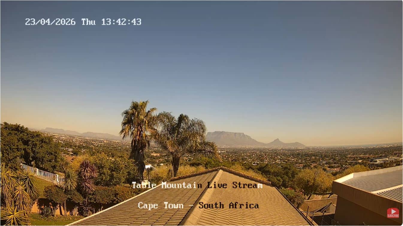
Western Cape, South Africa — 1298 km
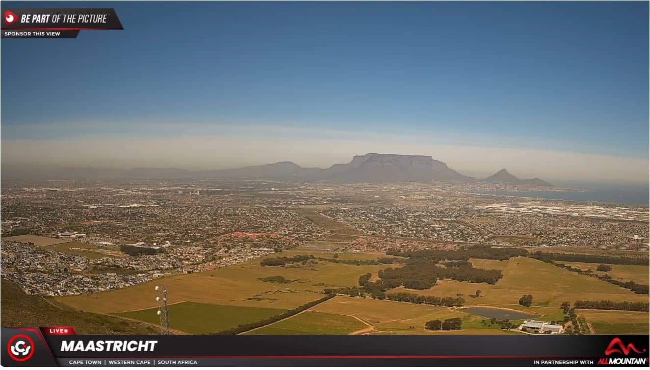
Western Cape, South Africa — 1303 km
The current conditions and a 3-day forecast for Swakopmund are shown in the live weather block on this page, updated automatically.
The local time for Swakopmund is displayed on this page, so you can check it against your own time zone before watching the stream.
The camera is in Swakopmund, in the Erongo region of Namibia, on the Atlantic coast. The map on this page shows its precise position.
Late afternoon usually gives the clearest view along the coast, while mornings are often foggy. The weather block helps you judge which time suits your plans best.
Partner links: we may earn a commission at no extra cost to you.