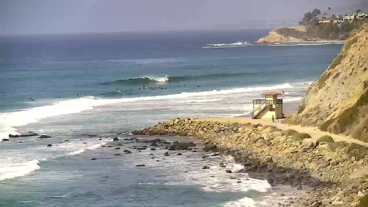
Dana Point - Salt Creek Beach
California, United States — 0.8 km

The camera is temporarily offline
The owner's stream is not available right now. Try again later or watch a camera nearby.
Dana Point - Monarch Bay Beach Club
🇺🇸 California · United States — Altitude 12 m
This camera looks out over the beach area of Monarch Bay in Dana Point, on the Orange County coast of Southern California. It is a useful way to check the surf, the crowd on the sand and the sky before heading to the coast, without leaving home.
Dana Point is a coastal town in southern Orange County, known for its bluffs, its protected harbor and its long run of sandy beaches. The town takes its name from Richard Henry Dana Jr., whose writing made the local coast известным to American readers in the 19th century. Much of the shoreline is backed by cliffs and residential neighborhoods, which gives the area a relaxed, seaside character that feels distinct from the busier resort towns further north.
The view is most useful for judging ocean conditions and beach activity during the day, when surfers, walkers and families are most likely to be on the sand. Morning often brings calmer water and clearer skies, while afternoon haze and marine layer conditions are common along this coast, especially in late spring and early summer. Sunsets can be worth watching when the sky is clear, depending on the angle of the view.
Southern California has mild, dry summers and cool, wetter winters, so late spring through early autumn is the most popular season for beach visits. Parking near the coast can be limited on busy weekends. Nearby cameras on VizCams include Salt Creek Beach and Monarch Beach Golf Links, both within about a kilometre, as well as the Dana Point Harbor view and the historic mission town of San Juan Capistrano a few kilometres inland.
Source: hdontap.com
California, United States — 0.8 km

California, United States — 0.9 km

California, United States — 3 km
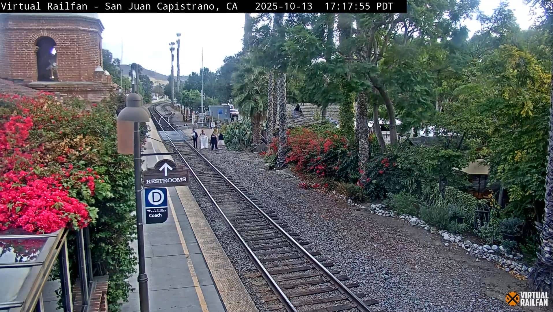
California, United States — 6 km
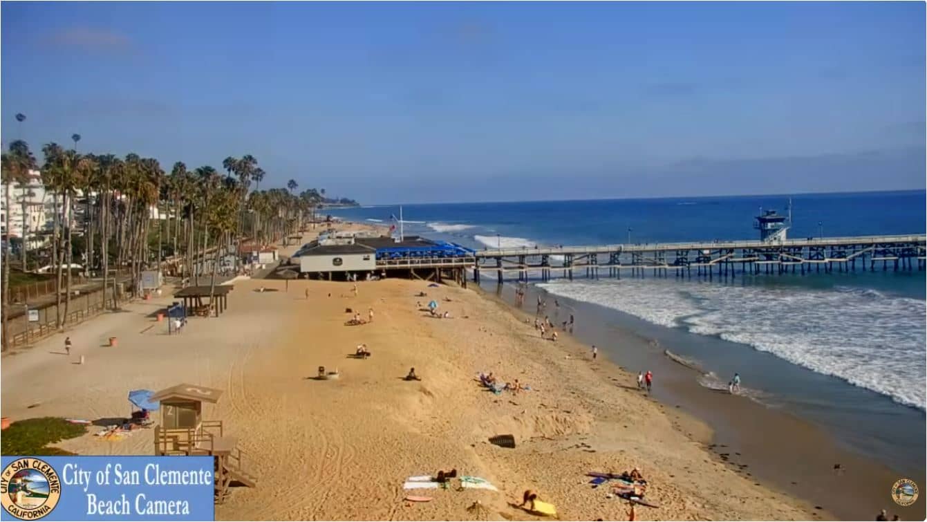
California, United States — 11 km

California, United States — 16 km
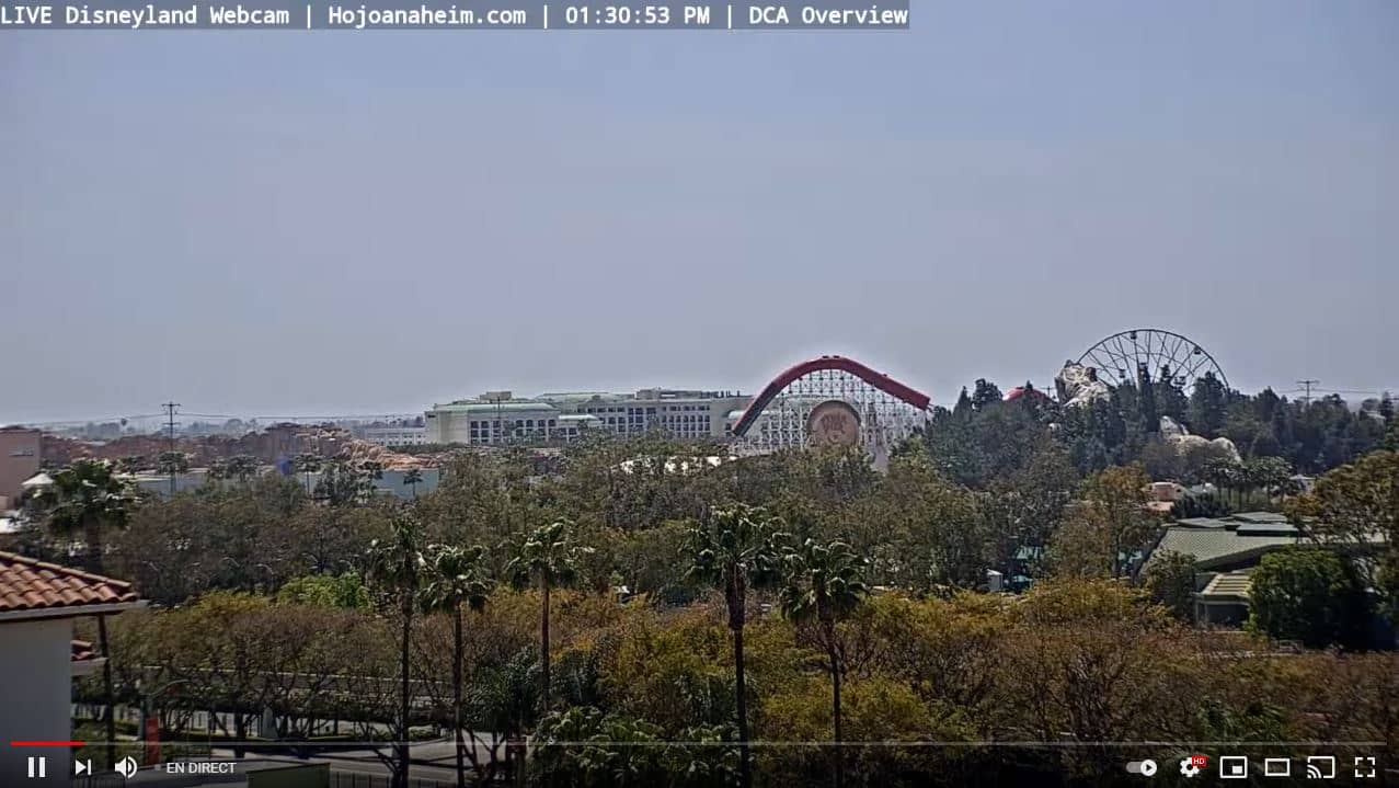
California, United States — 41 km
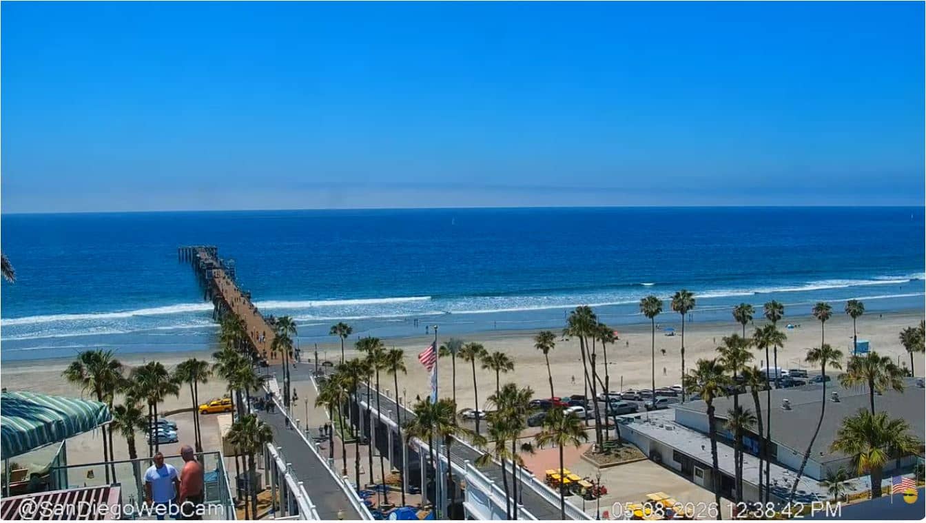
California, United States — 45 km

California, United States — 45 km
California, United States — 54 km
Current conditions and a three-day forecast for Dana Point are shown in the live weather block on this page, updated with the data provider's latest readings.
The local time for Dana Point, which follows Pacific time, is displayed on this page and updates live alongside the camera.
The camera is located in Dana Point on the Orange County coast of California, and its position is shown on the map included on this page.
Mornings are often calmer and clearer, while weekends in summer usually show the most people on the sand. Conditions vary with weather, so check the live view at the time you plan to visit.
Partner links: we may earn a commission at no extra cost to you.