
Dana Point - Monarch Bay Beach Club
California, United States — 0.9 km

The camera is temporarily offline
The owner's stream is not available right now. Try again later or watch a camera nearby.
Dana Point - Monarch Beach Golf Links
🇺🇸 California · United States — Altitude 55 m
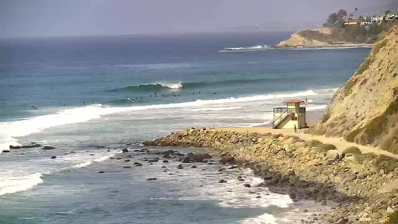
This live camera looks out over the Monarch Beach area of Dana Point on the Orange County coast of Southern California. It is useful for checking the coastline, the sky and the sea before you plan a trip or a walk. The page also shows local time and conditions for the town.
Dana Point is a harbor town on the southern Orange County coast, known for its marina, its cliffside bluffs and its long run of sandy beaches. The Monarch Beach neighborhood sits on the bluffs above the Pacific, with golf courses and resort properties set among the hills. The coastline here is shaped by the ocean breeze and the mild, sunny climate that defines much of Southern California.
The camera is listed under beach views, so it focuses on the coast and the water rather than on a single building. Depending on the angle, you may see surf, the shoreline, the bluffs and the open ocean. Mornings often bring clearer air, while afternoons can be busier with visitors and wind. The image is refreshed regularly, so it reflects conditions as they change through the day.
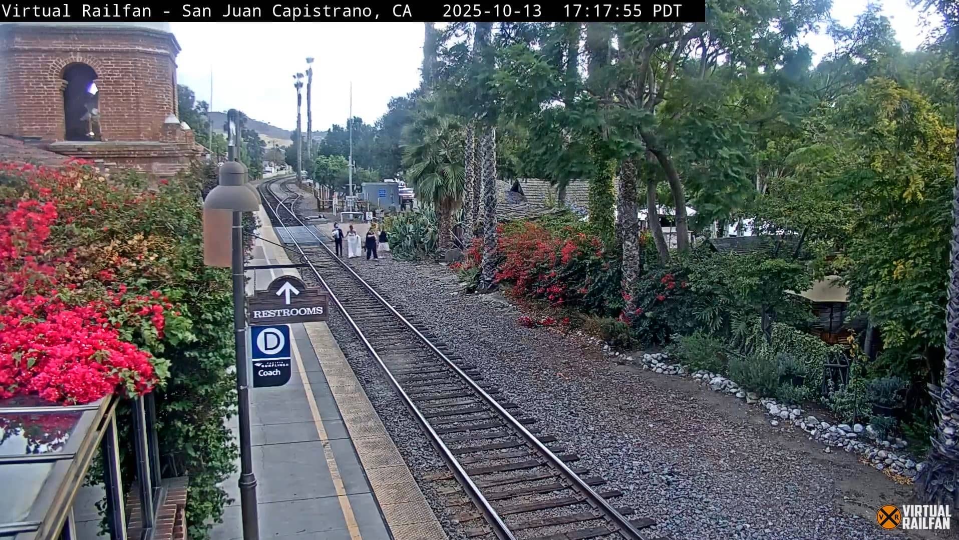
Late spring through early fall usually brings the warmest and most settled weather, although the marine layer can cover the coast in the early morning. Winter is mild and often clear. Nearby VizCams views include Monarch Bay Beach Club and Salt Creek Beach, both about one kilometer away, the Dana Point Harbor about three kilometers away, and San Juan Capistrano about five kilometers inland.
Source: hdontap.com
California, United States — 0.9 km
California, United States — 0.9 km

California, United States — 2.5 km
California, United States — 5.2 km
California, United States — 10 km
California, United States — 16 km
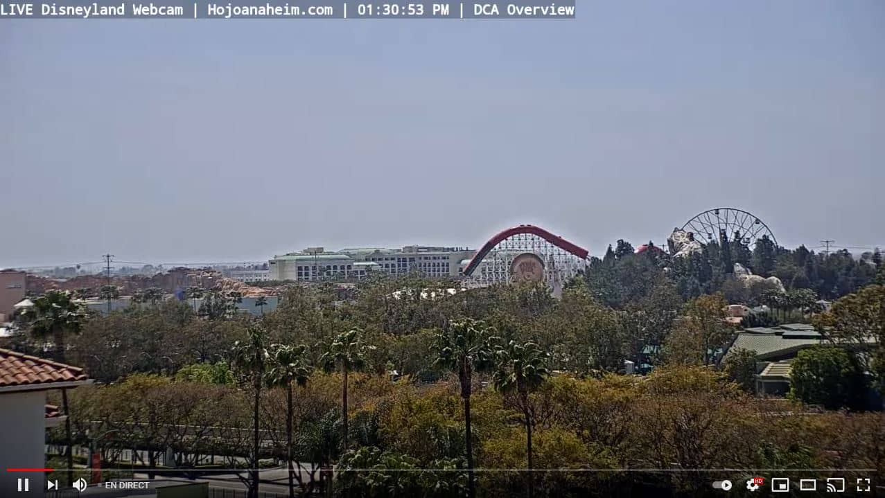
California, United States — 41 km

California, United States — 45 km
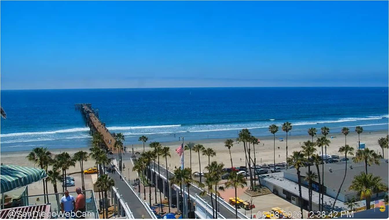
California, United States — 45 km
California, United States — 54 km
The current weather and a three-day forecast for Dana Point are shown in the live block on this page. They update together with the camera view, so you can compare the sky on screen with the reported conditions.
The local time for Dana Point, California, is displayed on this page and follows the Pacific time zone. It is updated continuously, so you can check the current hour before you watch the camera.
The camera overlooks the Monarch Beach Golf Links area in Dana Point, on the coast of Orange County. A map on the page marks its position so you can see how it sits relative to the harbor and nearby beaches.
Early morning often gives clearer views before the wind picks up, and late afternoon can show warm light on the bluffs. The best moment depends on the weather, so the live weather block is a useful guide.
Partner links: we may earn a commission at no extra cost to you.