Streamboat Springs
Colorado, United States — 1.4 km
Steamboat Springs - destinationsteamboat.com
🇺🇸 Colorado · United States — Altitude 2162 m
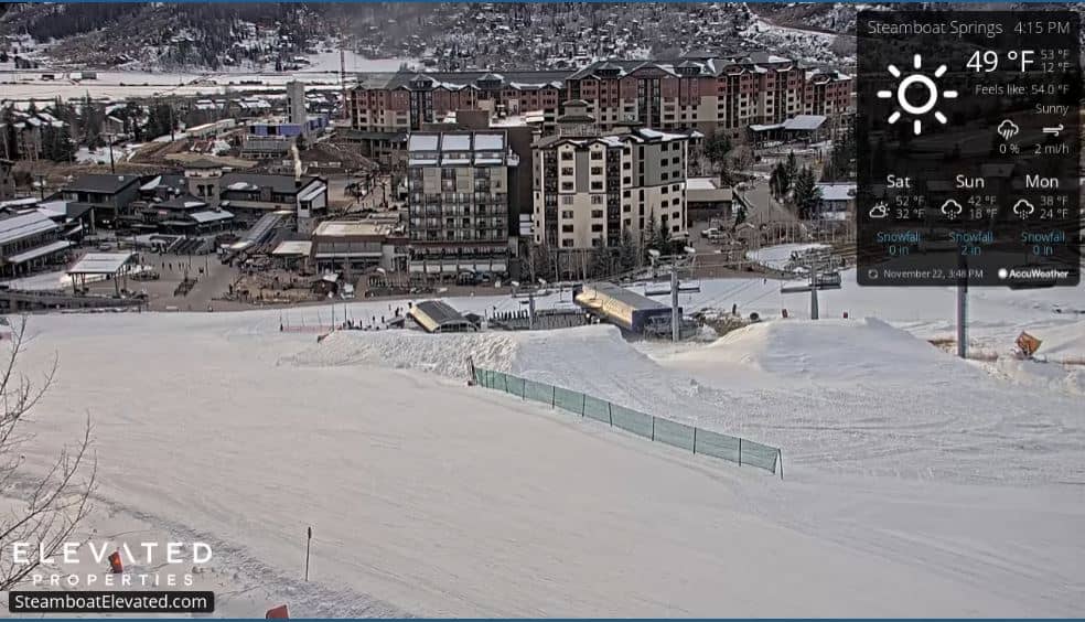
This live camera looks toward the mountains around Steamboat Springs in northwestern Colorado. It is useful for checking how the slopes look right now before you plan a trip or a day outdoors. Local time and weather are shown alongside the stream.
Steamboat Springs sits in the Yampa Valley at roughly 2,160 metres above sea level, surrounded by the Park Range and the Routt National Forest. The town is known for its ski resort, its western ranching heritage and its hot springs, which gave the town its name. The landscape is open, with river meadows below and forested peaks above, and the air is thin and dry compared with lower places. The town is a long way from big cities, so the valley feels quiet even in busy seasons.
The title points to a mountain setting, so expect to see slopes, ridgelines and sky rather than street traffic. Depending on the view, the appearance changes a lot with the season: snow-covered peaks in winter, green valleys in summer and golden aspen in early autumn. Morning light often shows the ridges most clearly, while afternoon clouds can build quickly over the peaks in summer. Check the weather block on this page before you watch, since visibility depends on cloud and precipitation.
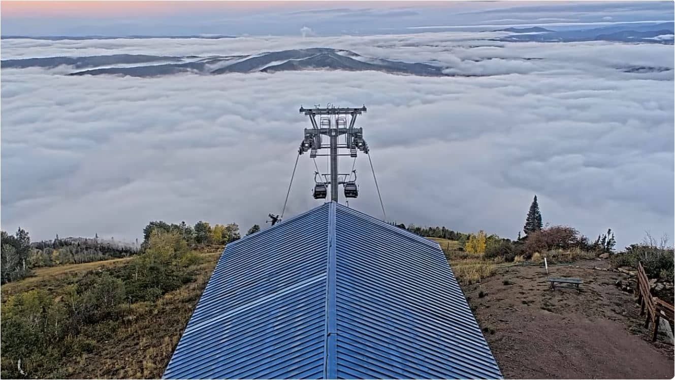
Winters are cold and snowy, with a long ski season, while summers are warm during the day and cool at night. Spring and autumn can be changeable, so pack layers. Steamboat Springs is reached by road, and the nearest larger airport is a drive away. Nearby cameras on this site include the Steamboat Springs view, the Champagne Powder Snow camera in Routt County and the Thunderhead Lodge camera, which together help you compare conditions across the area.
Source: CamStreamer
Colorado, United States — 1.4 km
Colorado, United States — 2.4 km
Colorado, United States — 3.8 km
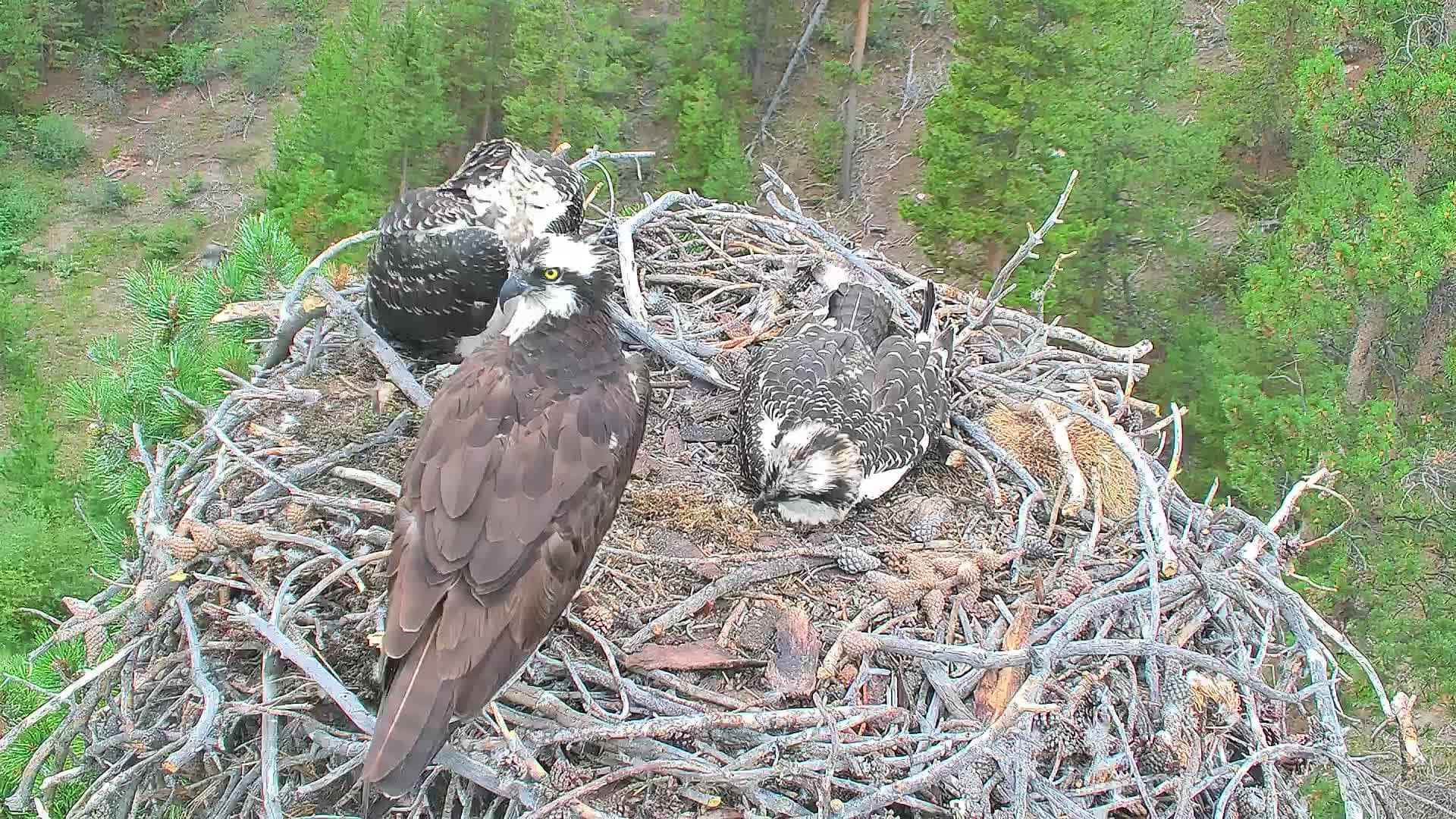
Colorado, United States — 84 km
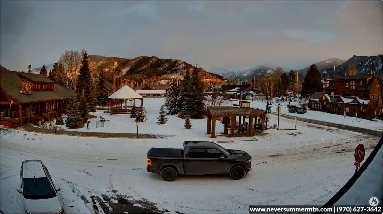
Colorado, United States — 86 km
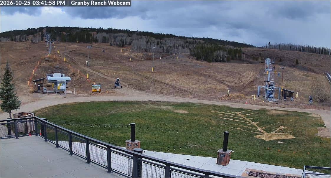
Colorado, United States — 89 km
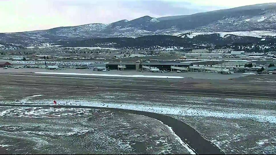
Colorado, United States — 91 km
Colorado, United States — 93 km

Colorado, United States — 93 km
Colorado, United States — 94 km
The current conditions and a 3-day forecast are shown in the weather block on this page, updated for Steamboat Springs. Check it before you plan a visit or a day outdoors.
The local time is shown on this page and follows Mountain Time in Colorado, including daylight saving changes. The clock updates alongside the live view.
The camera is in the Steamboat Springs area of Routt County, Colorado, at about 2,160 metres altitude. The map on this page shows its position relative to the town.
It depends on what you want to see. Winter shows snowy slopes, summer shows green valleys and autumn brings golden aspen. Mornings usually give the clearest view of the ridges.
Partner links: we may earn a commission at no extra cost to you.