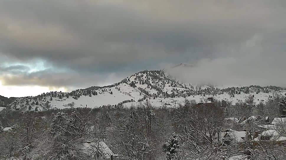
Boulder
Colorado, United States — 11 km
Lafayette - Indian Peaks Live
🇺🇸 Colorado · United States — Altitude 1610 m
This live camera looks toward the Indian Peaks from Lafayette, a town on Colorado's Front Range just east of the Rocky Mountains. It is useful for checking how the mountains look right now, whether clouds are sitting on the ridges, and what conditions are like before heading into the foothills.
Lafayette sits at roughly 1,610 metres above sea level, in the broad band of plains and foothills where the Rocky Mountains rise sharply to the west. It is a small suburban city between Boulder and Denver, known for its historic downtown, parks and easy access to hiking trails. The Indian Peaks Wilderness, a rugged area of granite summits and alpine lakes, lies a short drive to the west and gives the town much of its scenic character.
The view is aimed at the mountain skyline, so the most telling moments are early morning, when the peaks are often clear and sharply lit, and late afternoon, when afternoon thunderstorms can build over the high ground. In spring and autumn, changing snow lines and cloud patterns on the ridges are worth watching. Depending on the framing, you may also see the transition from open plains to foothills at the edge of town.
Summers are warm and dry with frequent sunshine, while winters bring cold nights and snow mostly in the mountains. Afternoon storms are common from late spring through summer, so check the forecast on this page before planning outdoor time. For a wider look at the area, nearby cameras include Boulder, about 11 km away, Arvada, Denver and the live view from Nederland.
Source: CamStreamer
Colorado, United States — 11 km

Colorado, United States — 14 km
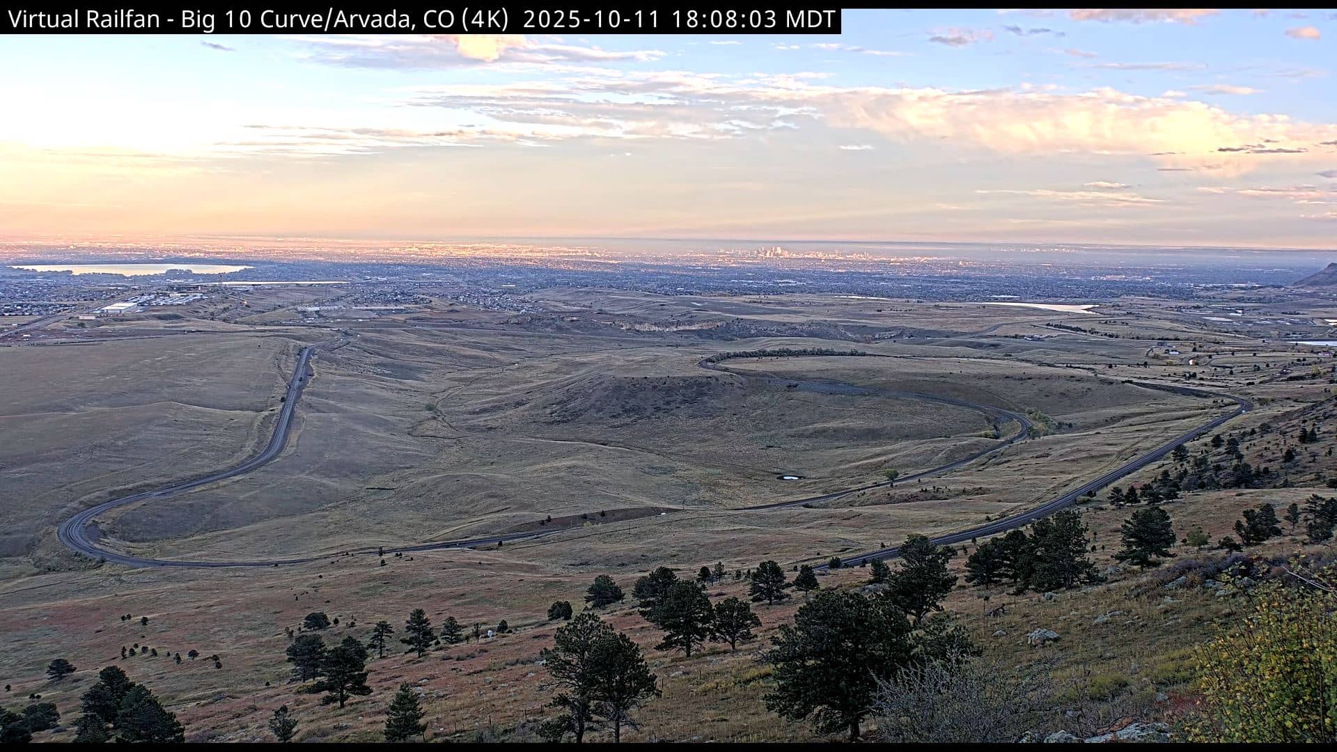
Colorado, United States — 21 km
Colorado, United States — 31 km
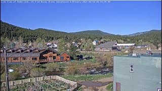
Colorado, United States — 33 km
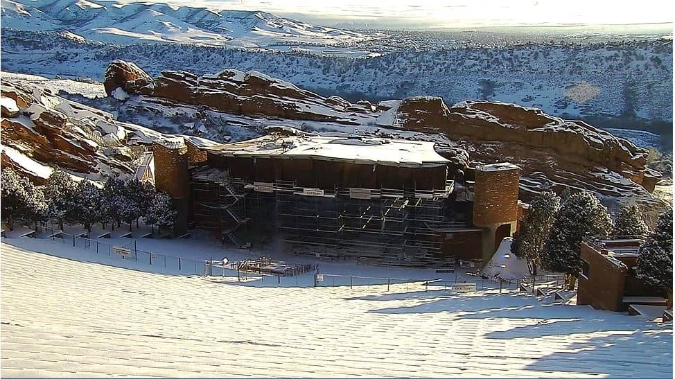
Colorado, United States — 38 km
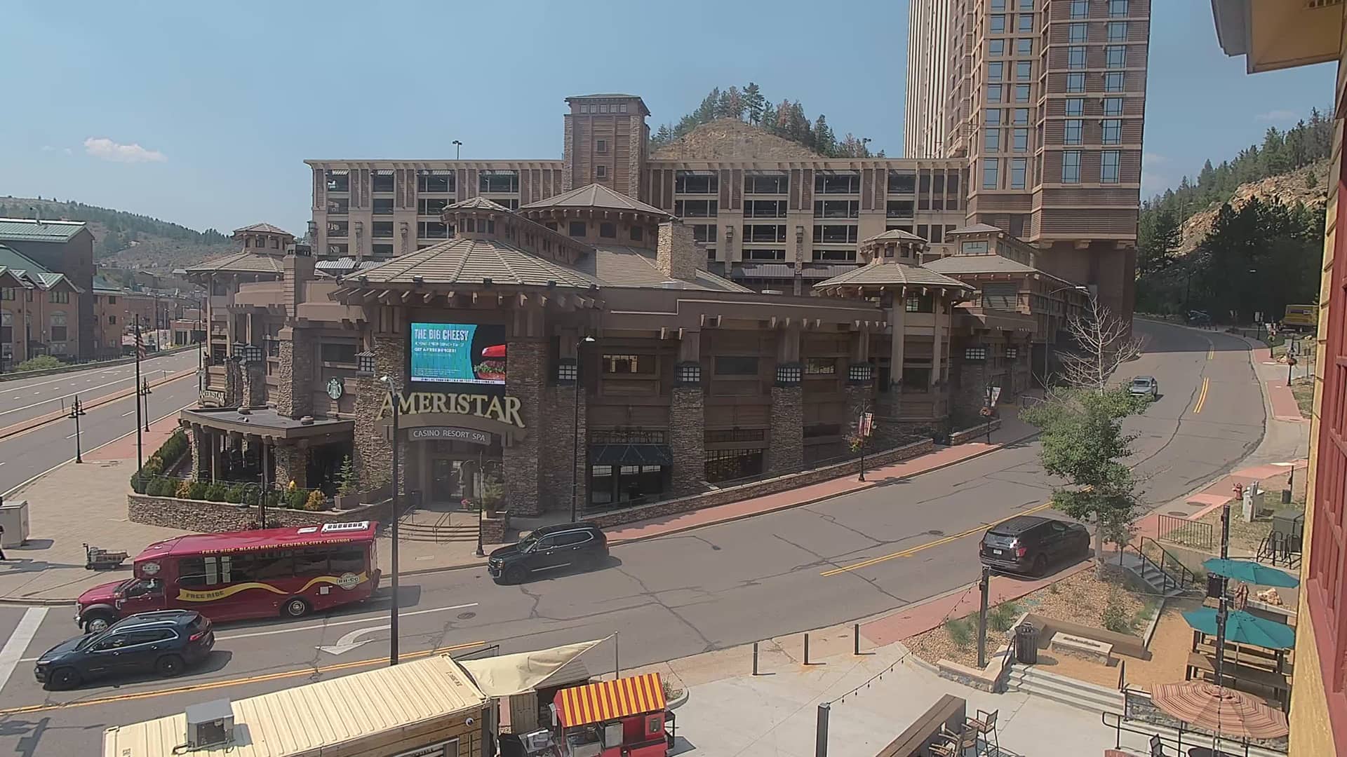
Colorado, United States — 38 km
Colorado, United States — 49 km
Colorado, United States — 51 km
Colorado, United States — 53 km
The current conditions and a 3-day forecast are shown in the weather block on this page. They update as the page refreshes, so you can check temperature, wind and cloud cover before you go outside.
The local time for Lafayette is shown on this page in the time block. It follows the Mountain Time zone used across this part of Colorado.
The camera is in Lafayette, Colorado, at about 1,610 metres altitude, and the map on this page marks its position. It looks west toward the Indian Peaks area of the Front Range.
Early morning often gives the clearest view of the peaks, while late afternoon in summer can show developing thunderstorms. Spring and autumn are good for seeing snow on the ridges.
Partner links: we may earn a commission at no extra cost to you.