
Ketchum - Limelight Ketchum
Idaho, United States — 76 km
🇺🇸 Idaho · United States — Altitude 1893 m
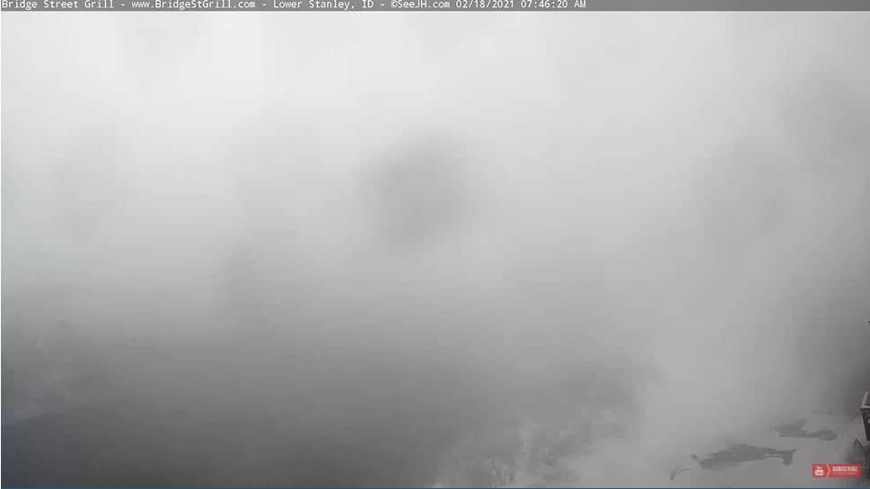
This live camera looks out over Lower Stanley, a small mountain community in central Idaho at about 1,900 metres above sea level. It is a useful window for checking mountain conditions, snow cover and the weather before you travel into the Sawtooth country.
Lower Stanley sits in the Stanley Basin, where the Sawtooth Mountains rise sharply above wide meadows and the Salmon River winds through the valley. The town is a gateway to the Sawtooth National Recreation Area, known for its granite peaks, alpine lakes and clear, cold rivers. Its high elevation gives it a crisp climate and a landscape that changes quickly with the seasons.
The view is a mountain scene, so the mood depends largely on the weather and the season. Clear mornings often bring the best visibility of the peaks, while afternoon clouds can build quickly over the ridges. In winter, snow can transform the valley and the slopes, and in summer the greens of the meadows are most striking. Conditions can change within minutes, so check the live feed before you plan a trip.
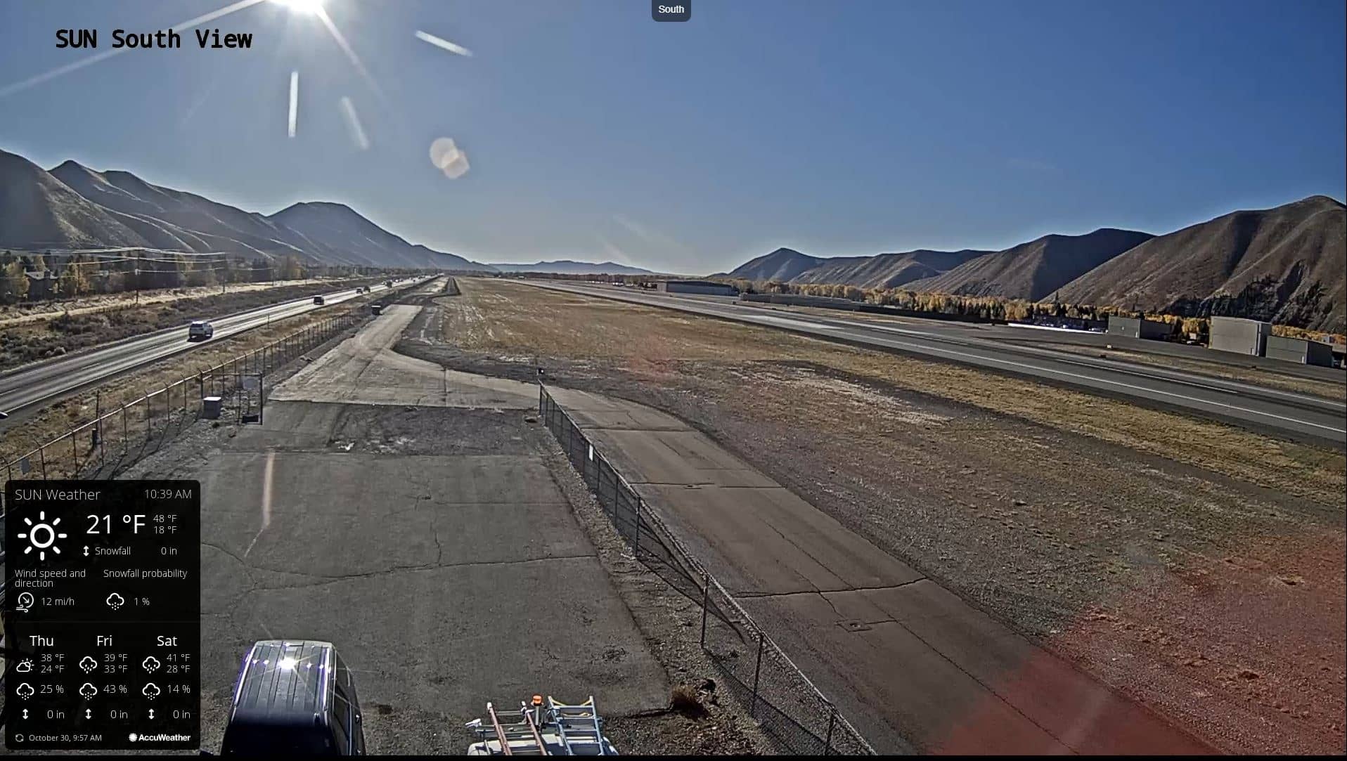
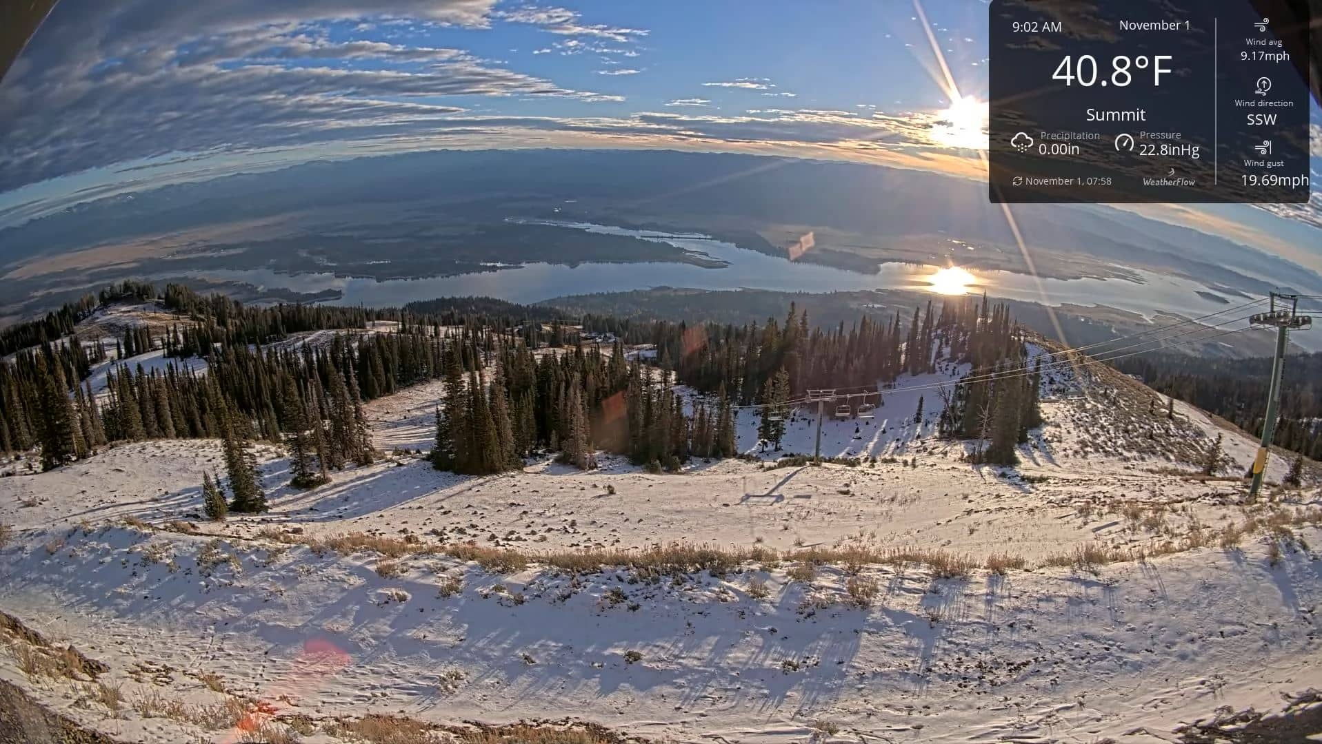
Summer, from late June to September, is the most popular time to visit, with hiking, fishing and paddling along the river. Winter brings snowshoeing, cross-country skiing and quiet valley roads. Nights are cold year-round, even in summer, so bring layers. Nearby cameras include Hailey and Tamarack Resort, both roughly 95 to 110 km away, which can help you compare conditions across the region.
Source: Lower Stanley
Idaho, United States — 76 km
Idaho, United States — 95 km
Idaho, United States — 110 km
Idaho, United States — 110 km
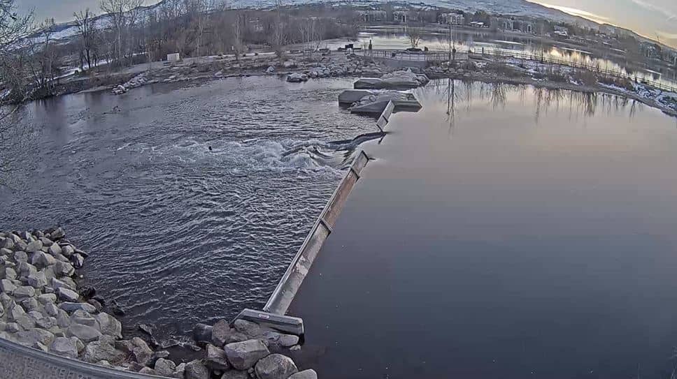
Idaho, United States — 115 km
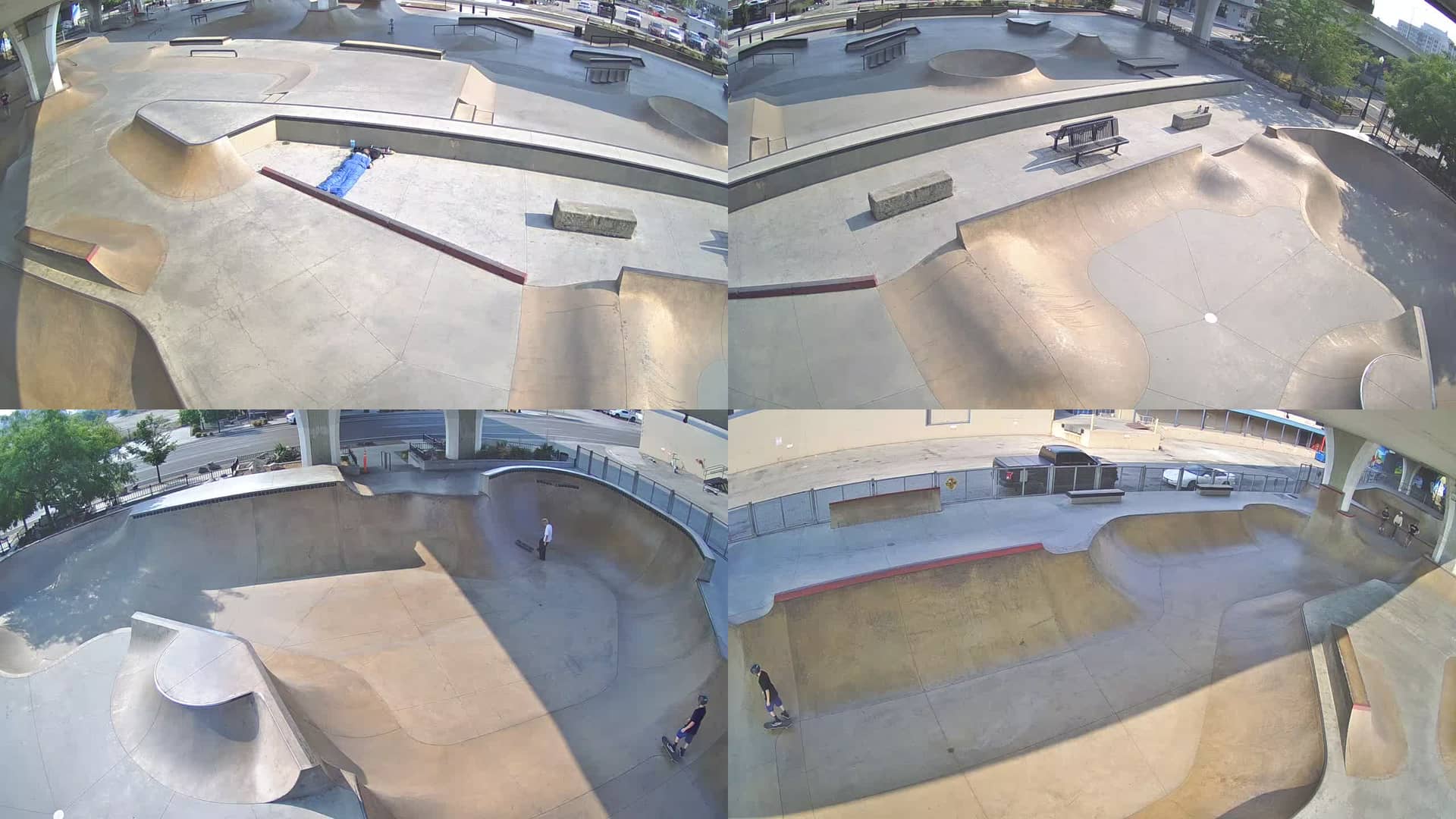
Idaho, United States — 124 km
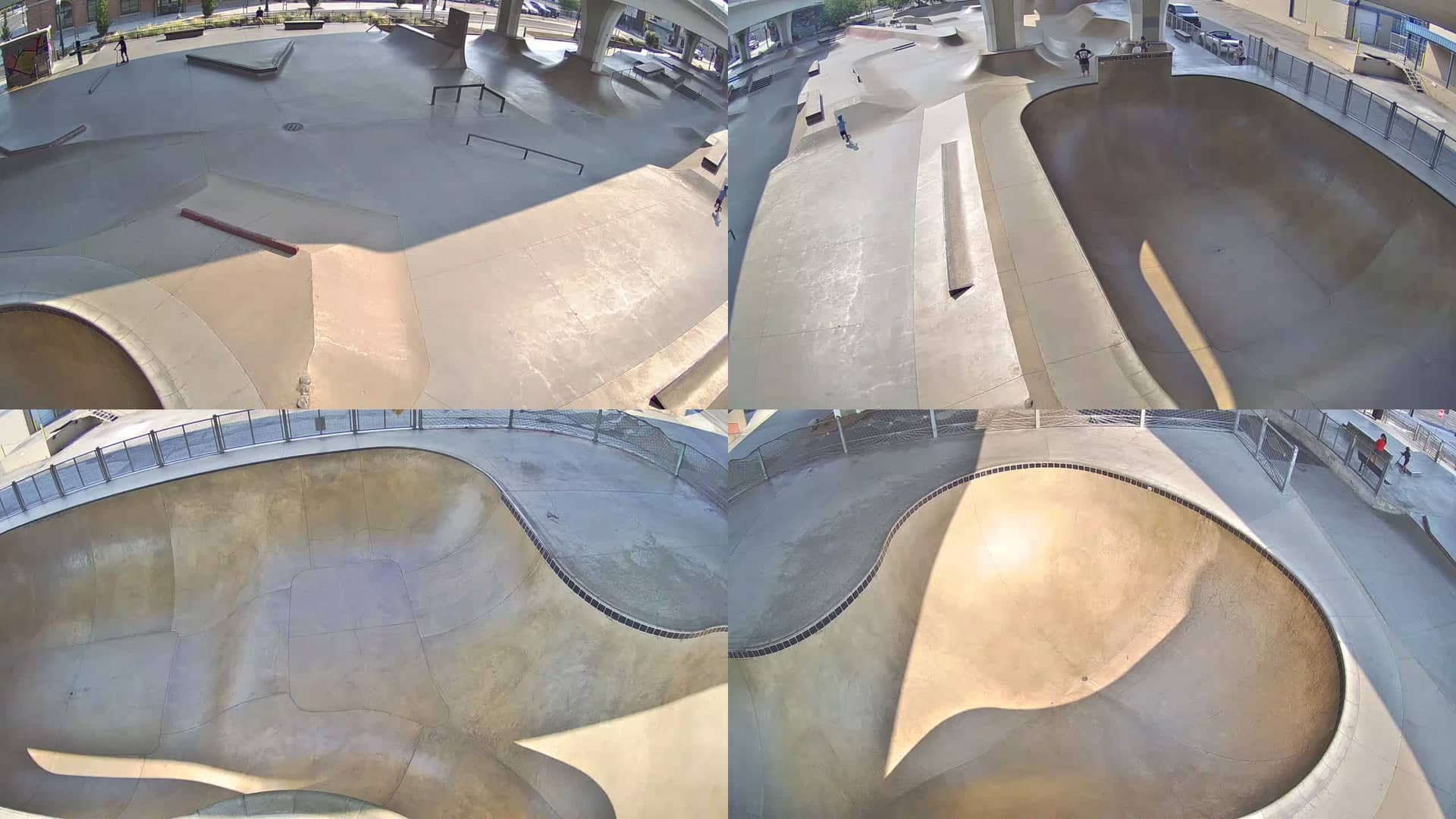
Idaho, United States — 124 km
Idaho, United States — 130 km
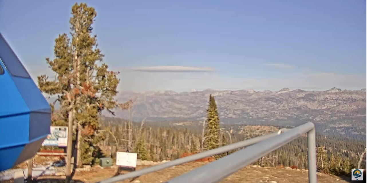
Idaho, United States — 130 km
Idaho, United States — 133 km
The current weather and a 3-day forecast for Lower Stanley are shown in the live block on this page. Conditions at this altitude can differ noticeably from nearby towns, so the forecast is worth checking before any trip.
The local time for Lower Stanley is shown at the top of the page and updates automatically. The area follows Mountain Time in the United States.
The map on this page marks the camera location in Lower Stanley, Idaho, at roughly 44.23 degrees north and 114.92 degrees west. The map also shows the surrounding terrain of the Sawtooth area.
Morning and early daylight hours often give the clearest views of the surrounding peaks. Winter snow and summer greenery are the most visually distinct seasons, depending on the view at the time.
Partner links: we may earn a commission at no extra cost to you.