
Scottsbluff
Nebraska, United States — 7.5 km
Gering
🇺🇸 Nebraska · United States — Altitude 1188 m
This live camera looks over Gering, a small city in the North Platte River valley of western Nebraska. It is a useful window for anyone planning a trip to the Nebraska Panhandle, or simply curious how the high plains look today. The stream is provided by its owner and embedded here with a link to the source.
Gering sits at about 1,190 metres above sea level, on the flat floor of the North Platte valley, with the Wildcat Hills rising to the south and east. It is the twin of nearby Scottsbluff, and the two form the main population centre of the western Panhandle. The area has long been a crossroads for agriculture, with sugar beets, corn and alfalfa grown under irrigation, and the bluffs above town give the landscape a dramatic, open character.
The camera is listed in the mountain category, so the view is likely to take in higher ground and the wide horizon typical of this region rather than city streets alone. Depending on the angle, you may see the bluffs, the sky and changing weather fronts moving across the plains. Late afternoon light tends to bring out the relief of the hills, while summer storms can build quickly and make for dramatic views.
Gering has a semi-arid continental climate, with hot summers, cold winters and modest rainfall. Late spring and early autumn are the most comfortable times to visit. Scotts Bluff National Monument is a short drive away, and nearby cameras in Scottsbluff, Bridgeport, Alliance and Chadron let you compare conditions across the wider region.
Source: viaero.com
Nebraska, United States — 7.5 km
Nebraska, United States — 49 km
Nebraska, United States — 72 km
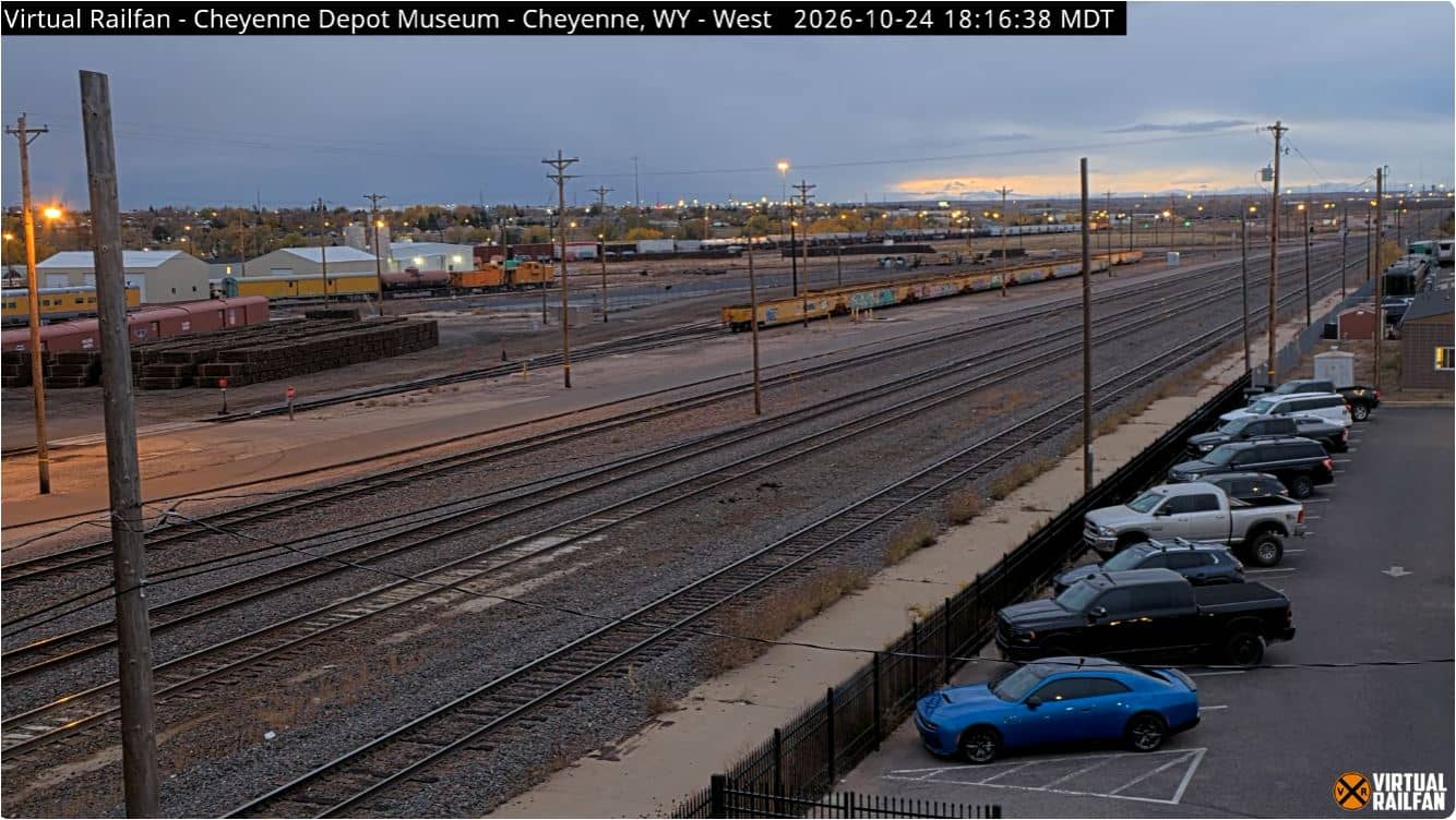
Wyoming, United States — 123 km
Nebraska, United States — 124 km
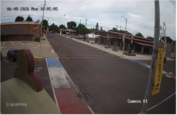
Colorado, United States — 147 km
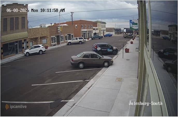
Colorado, United States — 147 km
Colorado, United States — 155 km
Nebraska, United States — 163 km
Colorado, United States — 171 km
The current conditions and the three-day forecast are shown in the live weather block on this page. They update with the latest data for the location.
The local time is displayed on this page and follows the Mountain time zone used in western Nebraska, including daylight saving changes.
The camera is located in Gering, Nebraska, at about 41.81 north and 103.64 west, and the map on this page marks its position in the North Platte valley.
Mornings and late afternoons usually offer the clearest light and the most visible relief of the surrounding hills. Check the live weather block to see whether conditions are favourable.
Partner links: we may earn a commission at no extra cost to you.