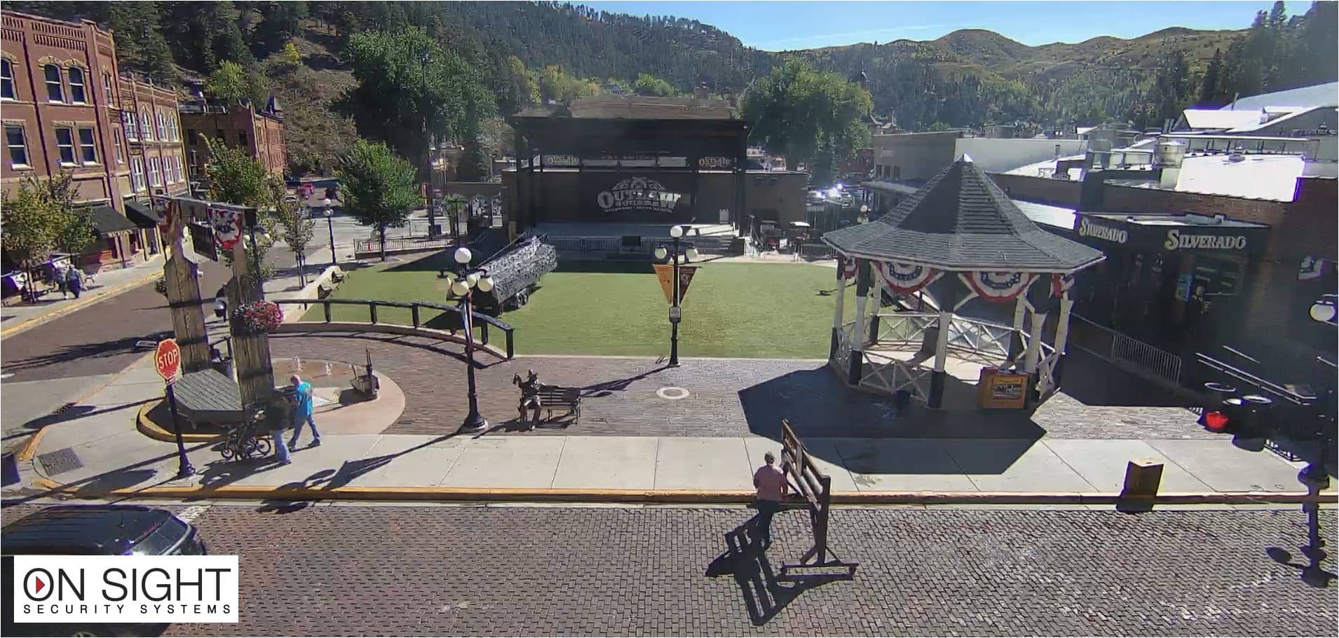
Deadwood - Silverado Franklin Historic Hotel & Gaming Complex
South Dakota, United States — 0.2 km
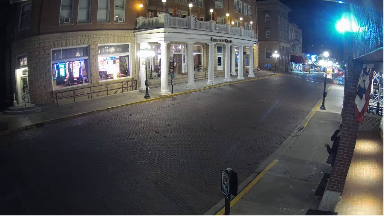
Deadwood
🇺🇸 South Dakota · United States — Altitude 1389 m
This live view looks out over Deadwood, the former gold-rush town tucked into a narrow canyon in the northern Black Hills. The feed is provided by the Silverado Franklin Historic Hotel and Gaming Complex and is embedded here with a link back to the source. Use it to see current conditions before you travel or simply to check what the town looks like today.
Deadwood grew quickly after gold was found in Whitewood Creek in 1876, and its historic downtown still follows the steep lines of the valley. Wild Bill Hickok and Calamity Jane are among the figures tied to its early years. The surrounding Black Hills are forested ranges of pine and granite, and the town sits at about 1,389 metres, so the air is often cooler than on the plains below.
Because this view is tied to a hotel and gaming complex in the historic centre, the most lively moments usually come in the evening when the streets are busier and lights are on. Daytime shows the valley and the shape of the buildings clearly. Snow in winter and green slopes in late spring change the look of the scene a great deal, so repeat visits can feel quite different.
Summers are warm and dry, while winters are cold with regular snow at this elevation. Late spring and early autumn are often the most comfortable months for walking the historic district. Nearby, Terry Peak lies about 10 km away and Spearfish about 15 km, which makes Deadwood a convenient base for exploring the northern Black Hills by car.
South Dakota, United States — 0.2 km
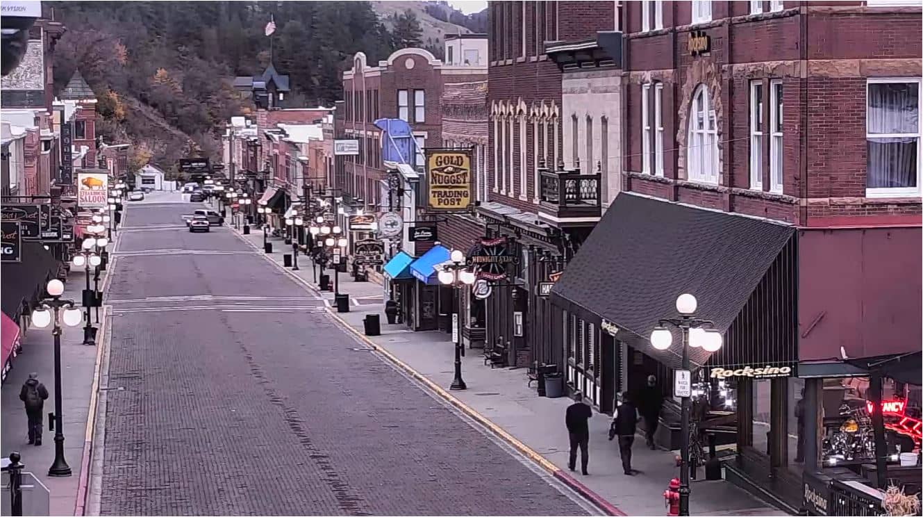
South Dakota, United States — 0.4 km
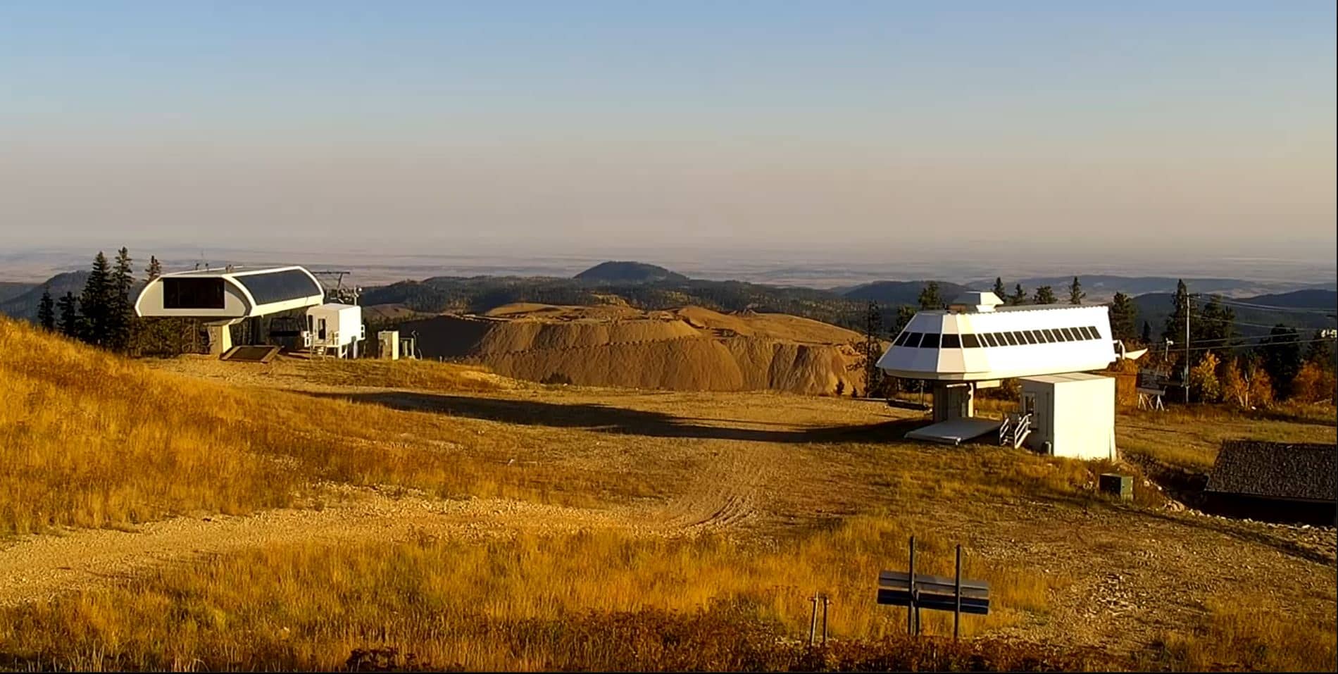
South Dakota, United States — 10 km
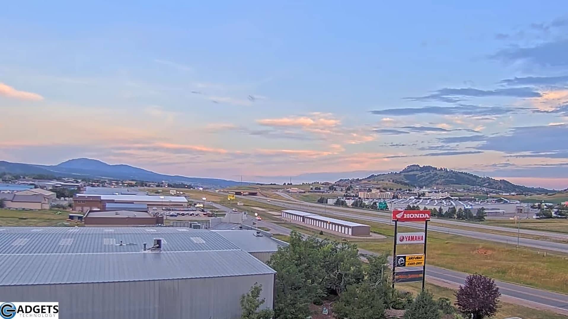
South Dakota, United States — 15 km
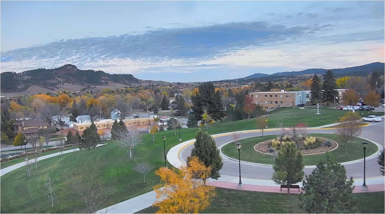
South Dakota, United States — 16 km
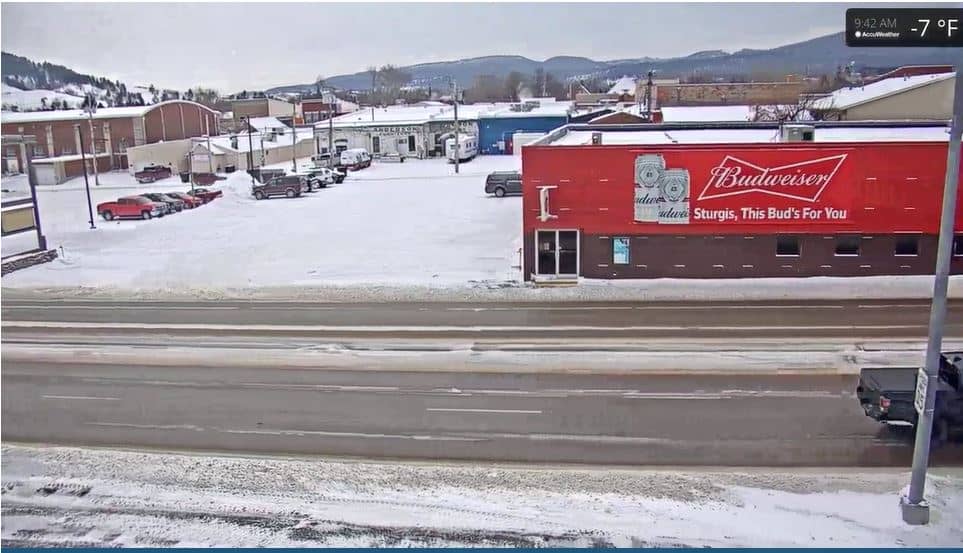
South Dakota, United States — 18 km
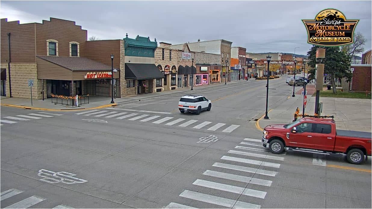
South Dakota, United States — 18 km
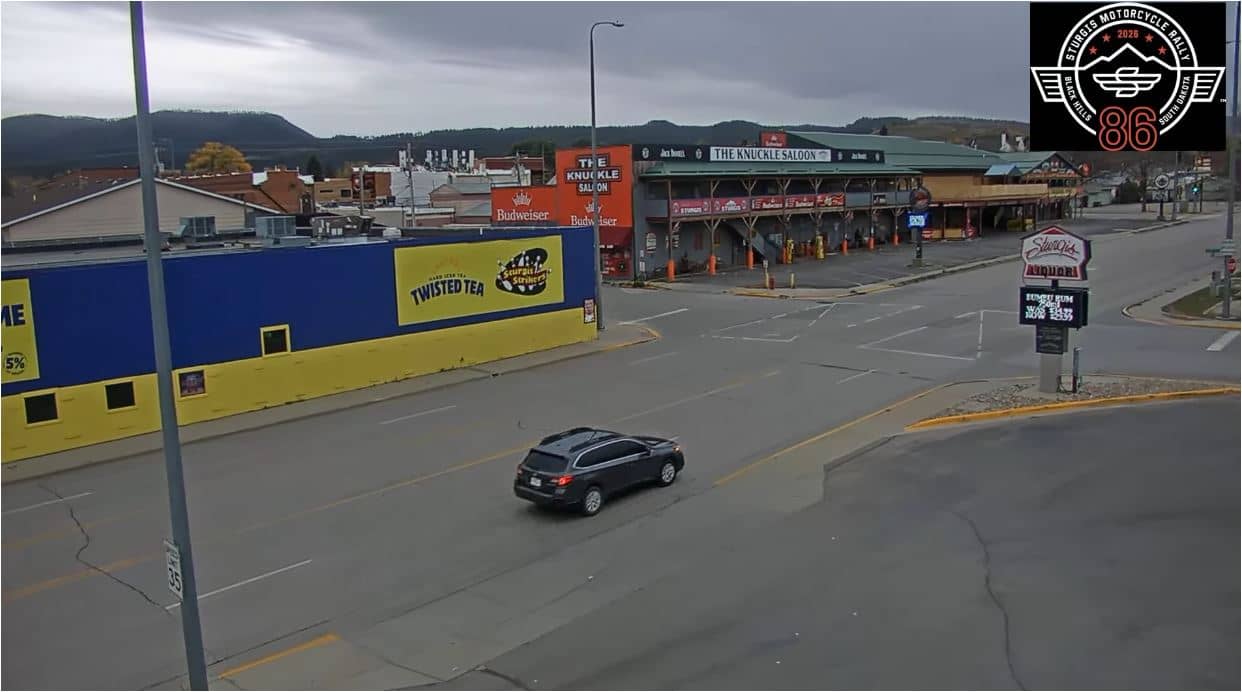
South Dakota, United States — 19 km
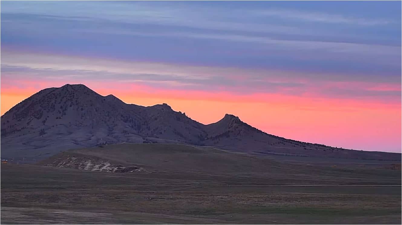
South Dakota, United States — 26 km
South Dakota, United States — 51 km
The live weather block on this page shows current conditions and a 3-day forecast for Deadwood. It updates automatically, so you can check it before planning outdoor activities or a drive into the hills.
The local time shown on this page follows the Mountain time zone used in western South Dakota. The clock updates live so you can compare it with your own time before calling or planning a visit.
The camera is in the historic town of Deadwood in the northern Black Hills of South Dakota, at roughly 44.38 N and 103.73 W. The map on this page marks its position in the valley.
Evenings tend to show the most activity in the historic centre, while daylight hours give the clearest view of the valley. Winter views often show snow on the hills, and spring brings the greenest scenery.
Partner links: we may earn a commission at no extra cost to you.