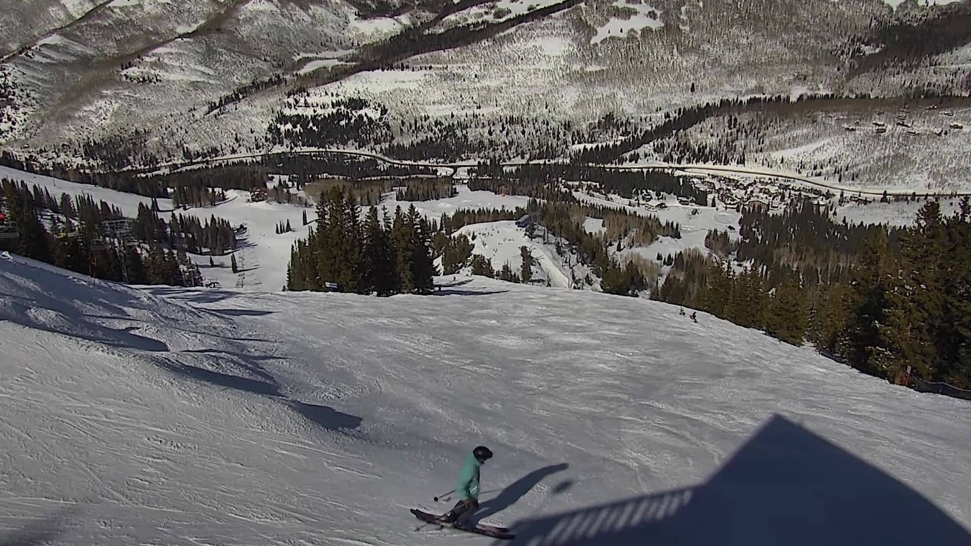
Mesa
Colorado, United States — 120 km
Moab
🇺🇸 Utah · United States — Altitude 1222 m
This live view looks toward Moab, a desert town on the Colorado River in southeastern Utah. It is a useful way to see current conditions before you drive out to the canyons and trails that bring visitors here.
Moab sits at about 1,200 metres in the high desert of eastern Utah, framed by sandstone cliffs and mesas in deep red and orange. It is best known as a gateway to Arches and Canyonlands national parks and to the Colorado River corridor, which draws hikers, mountain bikers, paddlers and climbers. The town is small, and its character comes from the surrounding landscape more than from its streets.
Because the view is a mountain and desert setting, the most rewarding moments are usually early morning and late afternoon, when low sun lights the cliffs warm red. Clear skies show the terrain sharply, while cloud or dust can soften it. Conditions vary with the weather, so the live stream is the best guide to whether the light and visibility are good right now.
Moab has a semi-arid climate with hot summers, often above 35 degrees Celsius, and cool to mild winters. Spring and autumn are the most comfortable seasons for hiking and cycling. Nearby webcams in Utah and Colorado, including Mesa, Goodyear and Montrose, give a wider picture of regional conditions if you are planning a longer route through the Four Corners area.
Source: Red Cliff Lodge Moab Utah webcam
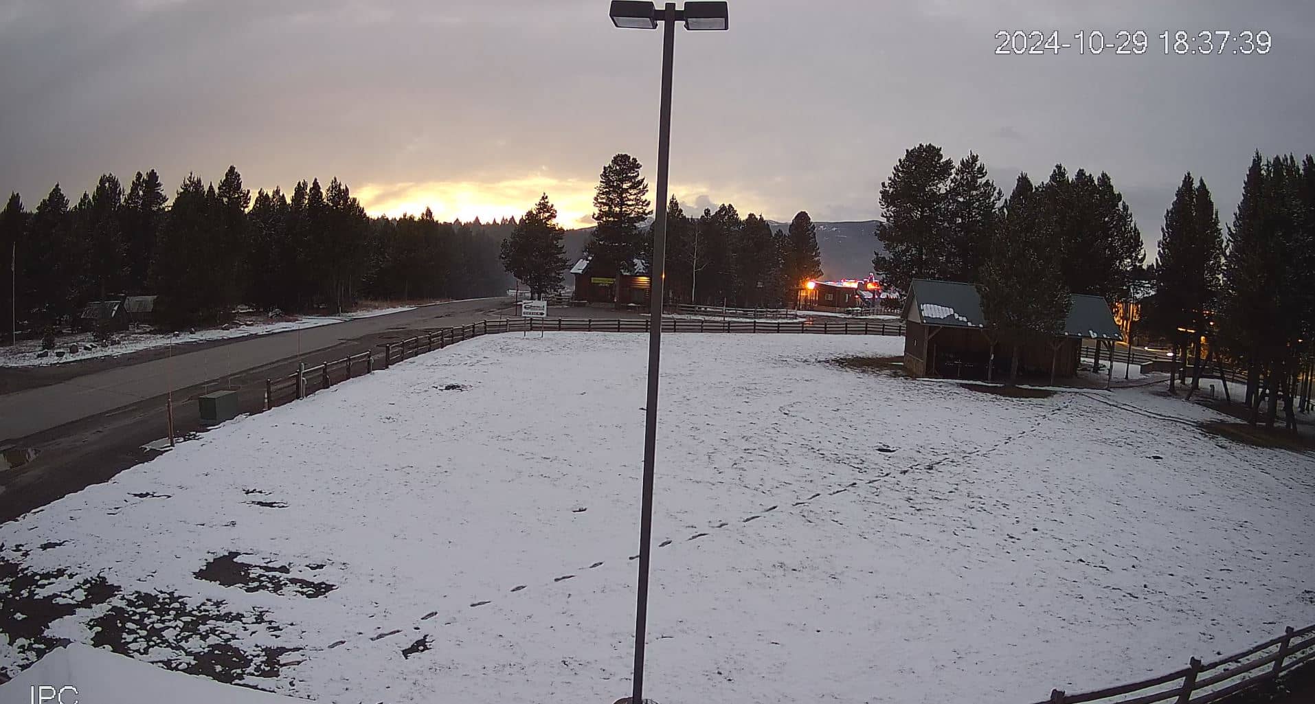
Colorado, United States — 120 km
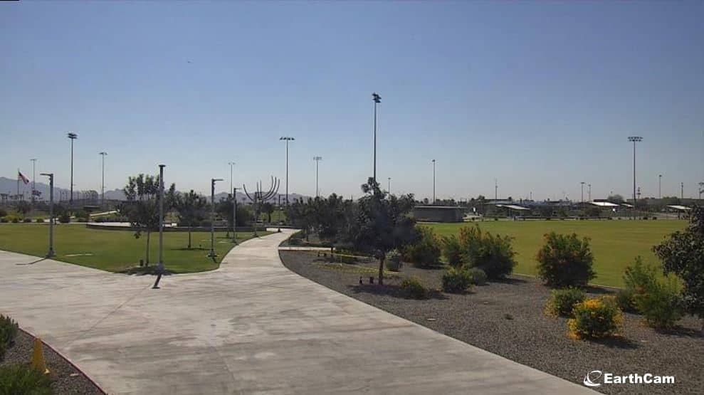
Arizona, United States — 126 km

Colorado, United States — 139 km
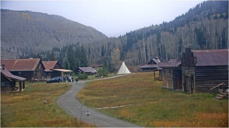
Colorado, United States — 156 km
Colorado, United States — 163 km

Colorado, United States — 163 km

Colorado, United States — 164 km

Colorado, United States — 165 km
Colorado, United States — 171 km
Colorado, United States — 183 km
The current conditions and the 3-day forecast are shown in the live weather block on this page. They update together with the local time, so you can check them before heading out.
The local time for Moab is displayed on this page and follows the Mountain Time zone used in this part of Utah. Check the clock block to see the time at the camera.
The camera is located in Moab, Utah, in the United States, at roughly 1,222 metres above sea level. The map on this page shows its position in the surrounding desert.
Early morning and late afternoon usually bring the strongest light on the red cliffs. Clear weather gives the best visibility, so check the live feed and forecast together.
Partner links: we may earn a commission at no extra cost to you.