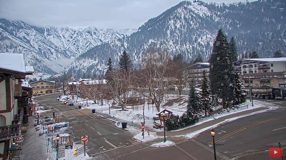
Leavenworth
Washington, United States — 32 km
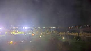
Wenatchee - Axis Q1806-LE
🇺🇸 Washington · United States — Altitude 195 m
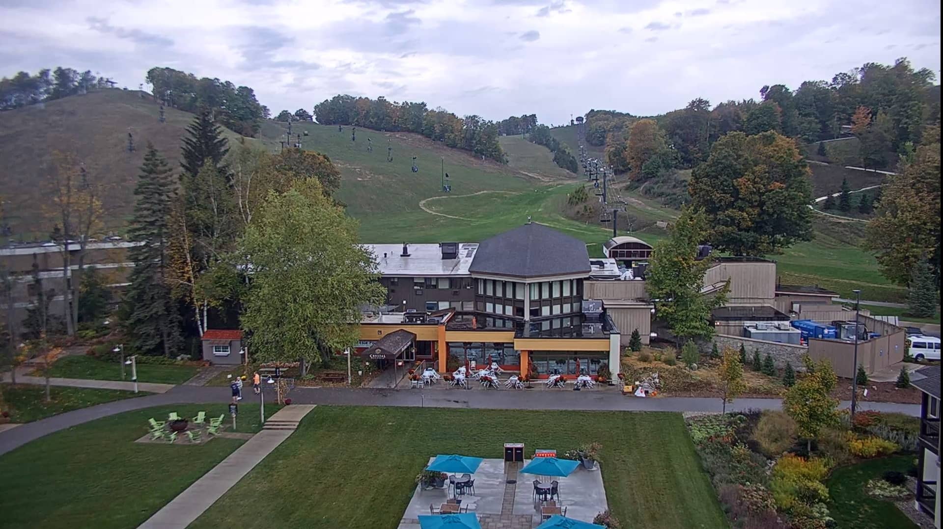
This live view from Wenatchee, Washington, lets you check current conditions in a town set where the Columbia and Wenatchee rivers meet. It is useful if you are planning a trip, following the weather in central Washington, or simply curious what the valley looks like today.
Wenatchee sits on the eastern side of the Cascade Range, in a dry, sunny part of Washington that is quite different from the rainy west of the state. The town is widely known as the apple capital of the United States, and orchards line much of the surrounding valley. The river confluence and the steep hills around it give the area a wide, open feel. The town sits at roughly 195 metres above sea level, so the landscape is mostly valley floor with higher slopes rising in the distance.
Because the camera is mounted for a wide outdoor view, changes in light and weather are often the most interesting things to follow. Early morning and late afternoon usually bring the softest light and the clearest shadows across the hills. In spring the orchards are in bloom, while autumn brings harvest season and colourful foliage. Clouds and wind can change the scene quickly, so it is worth checking back at different times of day.
Wenatchee has a semi-arid climate with hot, dry summers and cold winters, and it receives much less rain than the coastal parts of the state. Late spring, summer and early autumn are the most popular times to visit for outdoor activities. Several other cameras in the region can help you compare conditions, including Leavenworth, Ellensburg and mountain sites in King and Kittitas counties, which are within roughly 30 to 85 kilometres.
Source: CamStreamer
Washington, United States — 32 km
Washington, United States — 51 km
Washington, United States — 52 km
Washington, United States — 82 km
Washington, United States — 83 km
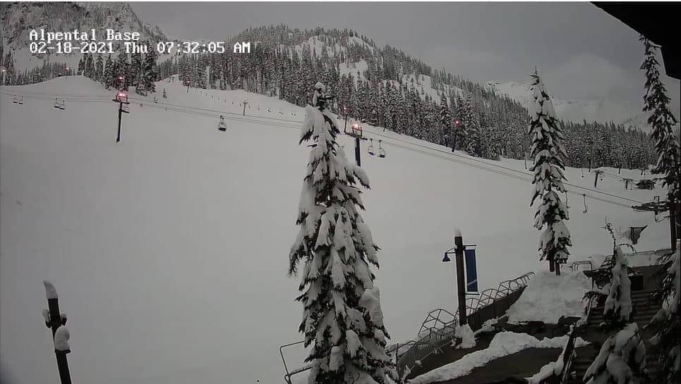
Washington, United States — 84 km
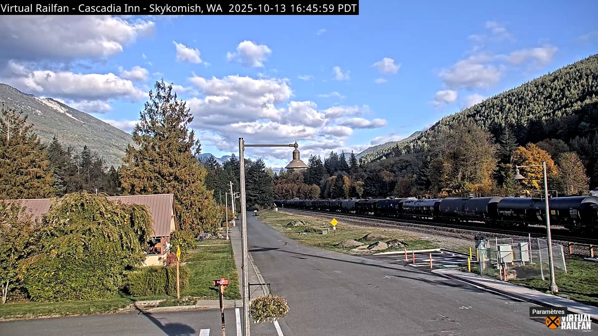
Washington, United States — 84 km

Washington, United States — 106 km
Washington, United States — 107 km
Washington, United States — 142 km
The current conditions and the three-day forecast are shown in the live weather block on this page, updated for Wenatchee.
The local time for Wenatchee is displayed on this page, following the Pacific time zone used across much of western Washington.
The camera is in Wenatchee, Washington, in the Columbia River valley on the eastern side of the Cascade Range. The map on this page shows its position.
Early morning and late afternoon often give the clearest light, and spring and autumn are the seasons when the surrounding landscape changes most.
Partner links: we may earn a commission at no extra cost to you.