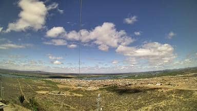
Santa Maria da Boa Vista - Torre da Atel Telecom - Sudoeste
Pernambuco, Brazil — 25 km
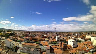
Curaçá - Torre da Atel Telecom - Sudeste
🇧🇷 Bahia · Brazil — Altitude 367 m
This camera sits on a telecom tower above Curaçá, a small municipality in the semi-arid interior of Bahia. It looks out over the southeastern side of the town and the surrounding dry countryside, so you can judge the sky and conditions before planning a trip. The stream is useful for anyone following weather in this part of northeastern Brazil.
Curaçá lies in the northern interior of Bahia, on the edge of the Caatinga, the thorny dry scrubland that covers much of the region. The landscape is open, with low vegetation, rocky ground and wide horizons. The town is linked to the São Francisco river valley, which has shaped farming and settlement for generations. Its character is quiet and rural, shaped more by the seasons of rain and drought than by tourism.
The camera is mounted on a telecom tower, so its frame is most likely to show open land, the town edge and the sky above the southeastern horizon. Exact details depend on the view at any given moment. Early morning and late afternoon often give softer light and clearer contrast across the scrubland. During the rainy months, changes in cloud cover can be especially striking to follow, while the dry season tends to offer steady, bright conditions.
The climate is hot and semi-arid, with high daytime temperatures and limited rainfall for much of the year. The best time to visit is generally the cooler months, when days are more comfortable for walking and travel. Nearby cameras in the same network, at Santa Maria da Boa Vista and Petrolina, show other parts of the broader region and can help you compare conditions across the valley.
Source: climaaovivo.com.br
Pernambuco, Brazil — 25 km
Pernambuco, Brazil — 77 km
Pernambuco, Brazil — 85 km
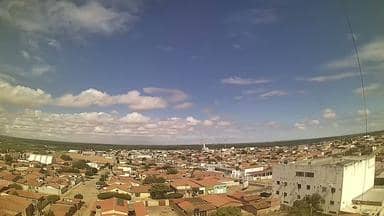
Pernambuco, Brazil — 108 km

Pernambuco, Brazil — 125 km

Pernambuco, Brazil — 134 km
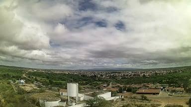
Pernambuco, Brazil — 153 km

Ceará, Brazil — 159 km
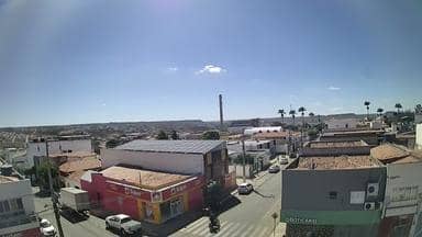
Pernambuco, Brazil — 171 km

Pernambuco, Brazil — 178 km
The current conditions and a three-day forecast for Curaçá are shown in the live weather block on this page. Values update with the latest data available for the town.
The local time for Curaçá is displayed on this page and follows the time zone used in the Bahia region of Brazil.
The camera is mounted on a telecom tower in Curaçá, Bahia, at an altitude of about 367 metres. The map on this page shows its exact position.
Early morning and late afternoon usually offer the clearest light, while the rainy season can bring dramatic cloud changes. The view depends on current conditions, so check the live stream whenever you like.
Partner links: we may earn a commission at no extra cost to you.