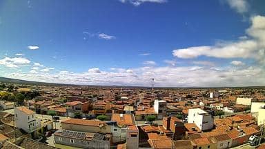
Curaçá - Torre da Atel Telecom - Sudeste
Bahia, Brazil — 25 km
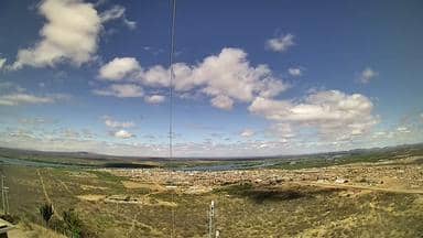
Santa Maria da Boa Vista - Torre da Atel Telecom - Sudoeste
🇧🇷 Pernambuco · Brazil — Altitude 481 m
This live stream comes from a telecom tower in Santa Maria da Boa Vista, a small town in the semi-arid interior of Pernambuco. It looks out over the southwest sector, giving a sense of the open sertão landscape and the sky above it. People watch it to see current conditions and to get a feel for the region.
Santa Maria da Boa Vista sits in the sertão of central-western Pernambuco, at roughly 480 metres above sea level. The landscape is dry scrubland with scattered farms, cattle pasture and irrigated plots near the Rio São Francisco valley. The region is known for its hot days, wide horizons and the strong contrast between dry and rainy seasons. Life here follows agriculture and small-town routines rather than tourism.
The title identifies a telecom tower, so the view is likely a wide, elevated panorama of the surrounding land and sky rather than a close street scene. Depending on the view, you may see cloud build-up during the afternoon, dust in dry spells or changing light at sunrise and sunset. Early morning and late afternoon are usually the most pleasant times to watch, when the heat has eased and shadows lengthen across the land.
The climate is semi-arid and hot, with most rain falling in a short season, usually between late in the year and early in the next. If you plan a visit, the cooler months of the dry season are more comfortable. Nearby cameras on this site include Curaçá, about 25 km away, and Petrolina, roughly 100 km off, which can help you compare conditions across the wider São Francisco region.
Source: climaaovivo.com.br
Bahia, Brazil — 25 km
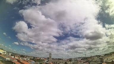
Pernambuco, Brazil — 64 km
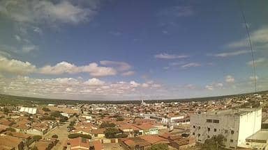
Pernambuco, Brazil — 95 km
Pernambuco, Brazil — 100 km

Pernambuco, Brazil — 105 km

Pernambuco, Brazil — 111 km

Ceará, Brazil — 134 km
Pernambuco, Brazil — 139 km
Pernambuco, Brazil — 154 km

Pernambuco, Brazil — 155 km
The current weather and the three-day forecast are shown in the live block on this page, updated for the town's coordinates. Check there for temperature, wind and rain chances.
The local time is displayed live on this page, following the Brazilian time zone used in Pernambuco. It updates automatically as you watch.
The camera is mounted on a telecom tower in Santa Maria da Boa Vista, in the southwest of Pernambuco state, at about 481 metres altitude. The map on this page marks its position.
Early morning and late afternoon are usually the most rewarding, when light is soft and clouds are more visible. Watching during the rainy season may show more dramatic skies.
Partner links: we may earn a commission at no extra cost to you.