
Penaforte - Torre da LinkCariri - Noroeste
Ceará, Brazil — 27 km

Salgueiro - Torre da Atel Telecom - Oeste
🇧🇷 Pernambuco · Brazil — Altitude 426 m
This camera is mounted on a telecom tower in Salgueiro, a town in the semi-arid sertão of Pernambuco. It gives a continuous look at the western side of the town and the open land beyond it. Watch it to check conditions across the sertão before you travel.
Salgueiro sits in the interior of Pernambuco, where the landscape turns from dry scrubland into rolling plains of caatinga, the thorny dry forest typical of northeastern Brazil. It is an important road and rail junction in the region and a stop for travellers heading between the coast, the São Francisco valley and the neighbouring states. The town's character is shaped by its position on the edge of the drylands, with a lively local market culture and a strong sense of crossroads.
The view is taken from a tower, so it captures the surrounding terrain and sky rather than street-level detail. Depending on the framing, you may see the town's edges, roads leading out of it and the flat horizon of the caatinga. The scene changes noticeably with the light: early morning and late afternoon bring warm tones and long shadows, while midday often looks bleached. Watch after rain, when the vegetation can turn green within days, or during the dry months when dust and haze are more common.
Salgueiro has a hot semi-arid climate. Temperatures are high most of the year, and rainfall is concentrated in a short wet season, so the best time to visit for milder weather is generally the cooler, drier months of the year. Nearby cameras on this site cover Penaforte, São José do Belmonte, Cabrobó and Brejo Santo, which can help you compare conditions across the wider region. Plan travel around the heat, especially in the middday hours.
Source: climaaovivo.com.br
Ceará, Brazil — 27 km

Pernambuco, Brazil — 46 km
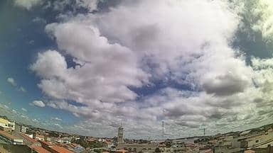
Pernambuco, Brazil — 54 km

Ceará, Brazil — 70 km
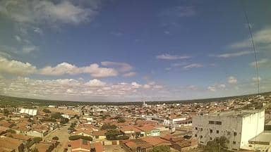
Pernambuco, Brazil — 78 km
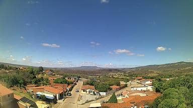
Ceará, Brazil — 79 km
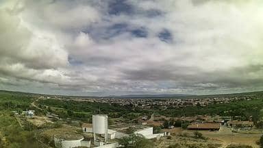
Pernambuco, Brazil — 86 km
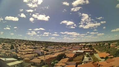
Ceará, Brazil — 86 km
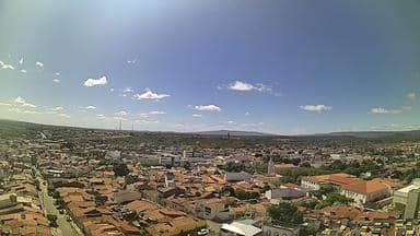
Ceará, Brazil — 86 km
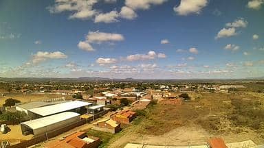
Ceará, Brazil — 87 km
The current conditions and a three-day forecast are shown in the weather block on this page. The values update automatically, so you do not need to check other sources.
The local time is shown at the top of this page, based on the town's time zone in Brazil. It updates continuously alongside the live view.
The camera is mounted on a telecom tower near Salgueiro, in the state of Pernambuco, at an altitude of about 426 metres. The map on this page marks its position.
Early morning and late afternoon usually give the clearest light and most visible detail across the landscape. Watching after rainfall can also show how quickly the surrounding land changes.
Partner links: we may earn a commission at no extra cost to you.