
Ouricuri - Torre da Atel Telecom - Nordeste
Pernambuco, Brazil — 57 km
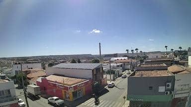
Araripina - Torre da Atel Telecom - Nordeste
🇧🇷 Pernambuco · Brazil — Altitude 636 m
This live stream comes from a telecom tower in Araripina, a town in the semi-arid interior of Pernambuco in northeastern Brazil. It offers a steady view of the sertão landscape at about 636 metres above sea level. Watch it to see the local conditions as they change through the day.
Araripina sits on a plateau in the Chapada do Araripe region, a rural area known for its dry climate, gypsum deposits and mixed farming. The landscape is typical of the sertão, with scrub vegetation, open skies and wide horizons. Its elevation makes it cooler than many lowland parts of the state, and the surroundings are shaped mostly by agriculture and small towns linked by long rural roads.
The camera is mounted on a telecom tower, so the picture is mainly about the wider landscape and sky rather than street life. Mornings and late afternoons usually give the softest light and clearest contrast. During the rainy part of the year, clouds can build quickly over the plateau, making the view more dynamic. Check the current conditions on this page before you watch, since visibility depends on the weather.
The interior of Pernambuco is hot for most of the year, with the wettest months generally falling in the warmer season. Cooler and drier periods are often considered more comfortable for travel. Araripina is a small town, and reaching it usually means road travel from larger centres. Nearby cameras include Ouricuri, about 57 km away, and several views in Juazeiro do Norte and Barbalha in the Cariri area.
The live video is provided by its source, and VizCams embeds it with a link back to the original owner. Use the local time and weather panels on this page to plan your viewing around the day.
Source: climaaovivo.com.br
Pernambuco, Brazil — 57 km
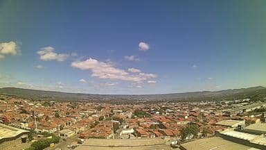
Ceará, Brazil — 134 km
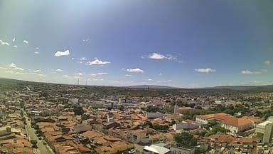
Ceará, Brazil — 135 km
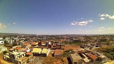
Ceará, Brazil — 137 km
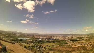
Ceará, Brazil — 137 km
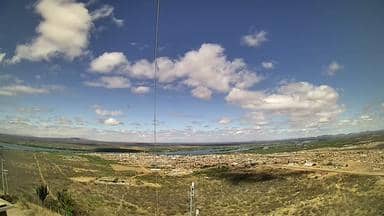
Pernambuco, Brazil — 154 km
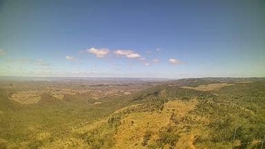
Ceará, Brazil — 154 km

Ceará, Brazil — 159 km

Ceará, Brazil — 160 km

Pernambuco, Brazil — 161 km
The current conditions and a three-day forecast are shown in the live weather block on this page. Values update automatically, so check there for the latest temperature and rain outlook.
The local time for Araripina is shown on this page and follows the local clock of northeastern Brazil. It is displayed live next to the video.
The camera is on a telecom tower in Araripina, in the state of Pernambuco, Brazil, at roughly 636 metres altitude. The map on this page shows the exact position.
Early morning and late afternoon usually offer the clearest light for the landscape. During the rainy season, cloud build-up can make the view especially interesting.
Partner links: we may earn a commission at no extra cost to you.