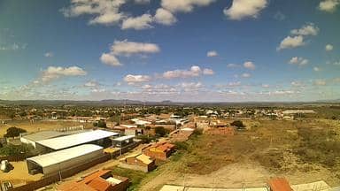
Mauriti - Torre da LinkCariri - Sul
Ceará, Brazil — 95 km

Piancó - Torre Eduart B Caldas / PU7FCB - Oeste
🇧🇷 Paraíba · Brazil — Altitude 266 m
This live stream is mounted on a telecom tower in Piancó, an inland town in the sertão of Paraíba state in northeastern Brazil. It looks out to the west over the surrounding countryside, so you can follow the sky and the landscape as conditions change through the day. The page also shows local time and weather for Piancó.
Piancó sits at roughly 270 metres above sea level in the semi-arid interior of Paraíba, a region known as the sertão. The town grew around cattle ranching and cotton and remains a quiet centre for the surrounding rural municipalities. The landscape is dry scrubland of thorny caatinga vegetation, broken by low hills and seasonal riverbeds that fill only after rain. Its character is shaped more by open horizons and big skies than by dense towns or coastline.
The title describes a telecom tower facing west, so the view is most likely of open land and the horizon beyond the town. Evenings are the most rewarding time to watch, when the sun drops toward the horizon and the sky changes colour, if the view is clear. Weather in the interior can shift quickly, and afternoon clouds sometimes build over the hills, so the live stream is useful for checking conditions before you plan outdoor activity.
Piancó has a hot semi-arid climate with high temperatures most of the year and a short rainy season that is often unreliable. The coolest and most comfortable months for outdoor life are generally the drier part of the year. Reaching Piancó usually means travelling by road from larger cities in Paraíba or Pernambuco. Other cameras in the region include the Mauriti tower to the south, the Serra Talhada tower to the southeast and the Milagres tower to the east.
Use the live player to see the current view and the local time and weather blocks for conditions right now. The stream belongs to its source, climaaovivo.com.br, and is embedded here with a link back to it.
Source: climaaovivo.com.br
Ceará, Brazil — 95 km
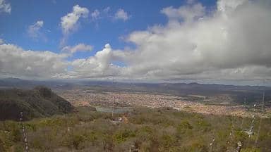
Pernambuco, Brazil — 95 km
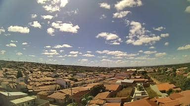
Ceará, Brazil — 114 km

Pernambuco, Brazil — 118 km
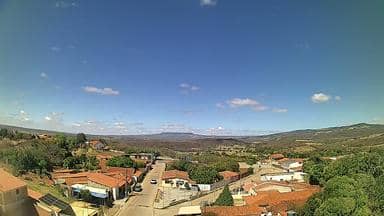
Ceará, Brazil — 126 km

Ceará, Brazil — 129 km
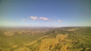
Ceará, Brazil — 143 km

Ceará, Brazil — 145 km
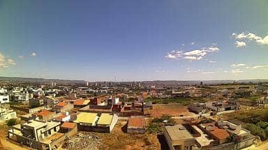
Ceará, Brazil — 153 km
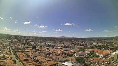
Ceará, Brazil — 153 km
The current weather for Piancó is shown in the live weather block on this page, together with a three-day forecast. Conditions in this semi-arid area can change quickly, so check it before planning outdoor activities.
The local time in Piancó is displayed on this page and updates automatically. The town uses Brazil's northeastern local time, which can differ from other parts of the country.
The camera is mounted on a telecom tower in Piancó, Paraíba, in northeastern Brazil, at about 266 metres altitude. The map on this page shows its position and the nearby cameras in the region.
Evenings are often the most interesting time, when the light changes over the landscape, provided the sky is clear. Afternoon cloud can build over the hills in some seasons, so check the live view when you want a clear picture.
Partner links: we may earn a commission at no extra cost to you.