
São José do Belmonte - Torre da Atel Telecom - Sudoeste
Pernambuco, Brazil — 51 km
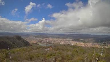
Serra Talhada - Torre da Atel Telecom - Sudeste
🇧🇷 Pernambuco · Brazil — Altitude 829 m
This live stream sits on a telecom tower above Serra Talhada, a town in the dry interior of Pernambuco in northeastern Brazil. It is useful for seeing how the sky and light look over the sertão at this moment, and for checking conditions before planning a trip inland. The page also shows local time and weather so you can read the view in context.
Serra Talhada lies in the Pajeú valley at roughly 830 metres above sea level, where the Caatinga scrubland gives way to rocky hills and farmland. It is best known as the hometown of the legendary cangaceiro Virgulino Ferreira, Lampião, and the town keeps that history alive in its museum and local festivities. The surrounding landscape is open and wide, with granite outcrops and seasonal rivers that often run dry for much of the year.
Because the camera is mounted on a tower, it gives a broad, elevated view rather than a street-level one. The stream is most rewarding in the early morning, when the air is cooler and the hills are sharply lit, and in the late afternoon when the light turns golden. Cloud build-up over the hills in the wetter months can make the view especially dramatic, depending on the weather that day.
The region is hot and semi-arid, with the rainy season concentrated in the months of late summer and early autumn. Visits are most comfortable from June to November, when temperatures are lower and the countryside is drier and easier to travel through. Serra Talhada is reached by road from Recife and Caruaru, and nearby live views in São José do Belmonte and Floresta show how the wider region looks.
Source: climaaovivo.com.br
Pernambuco, Brazil — 51 km
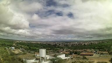
Pernambuco, Brazil — 77 km
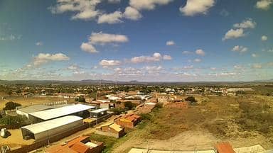
Ceará, Brazil — 83 km

Ceará, Brazil — 85 km

Pernambuco, Brazil — 90 km

Paraíba, Brazil — 95 km
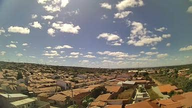
Ceará, Brazil — 101 km

Ceará, Brazil — 101 km
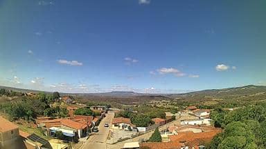
Ceará, Brazil — 105 km
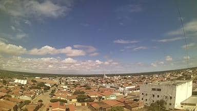
Pernambuco, Brazil — 113 km
The current conditions and a three-day forecast for Serra Talhada are shown in the weather block on this page. They update with the latest data, so you can compare them with what the live stream shows.
The local time for Serra Talhada is displayed on this page and follows the Brazilian time zone used in Pernambuco. Check the clock block above the stream to see the current time there.
The camera is mounted on a telecom tower on the edge of Serra Talhada in Pernambuco state, at about 830 metres altitude. The map on this page marks its position so you can see its place in the region.
Early morning and late afternoon usually give the clearest light and the most visible detail across the hills. During the rainy season, cloud over the landscape can make the view change quickly.
Partner links: we may earn a commission at no extra cost to you.