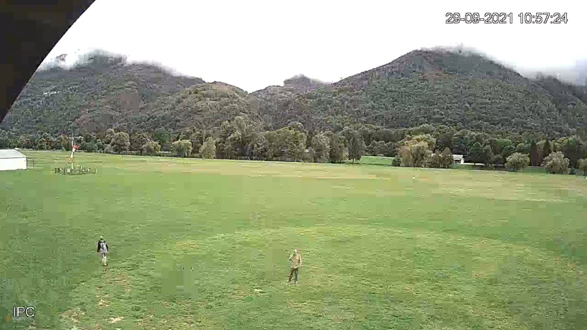
Bagnères-de-Luchon
Occitania, France — 15 km
🇫🇷 Occitania · France — Altitude 540 m
This live stream looks out over Saint-Béat, a village in the Garonne valley at the foot of the central Pyrenees. It suits anyone planning a mountain trip who wants to see how the valley looks right now before setting out.
Saint-Béat sits in the Haute-Garonne department in the Occitania region of southwestern France, at roughly 540 metres above sea level. The river Garonne runs through the valley here, and steep wooded slopes rise on both sides toward the high Pyrenean peaks. The village is best known as a gateway to the Pique and Luchon valleys and to the mountain roads that lead toward Spain.
Because the camera is set in a valley village, the most useful things to follow are the light on the surrounding ridges, the cloud cover building over the peaks, and the flow of traffic on the valley road. Morning and late afternoon usually bring the clearest contrast on the slopes. In winter, watch for snow line changes on the higher ground, which give a quick sense of conditions further up.
The valley has a mix of mountain and Atlantic influences, with mild summers and cold, snowy winters at higher altitudes. Late spring to early autumn is the most reliable season for hiking, while winter suits skiing in the nearby resorts. Nearby cameras include Bagnères-de-Luchon about 15 km away, Nistos at 19 km, and Benasque at 27 km, which can help you compare conditions along the route.
Source: Pyrénées31
Occitania, France — 15 km
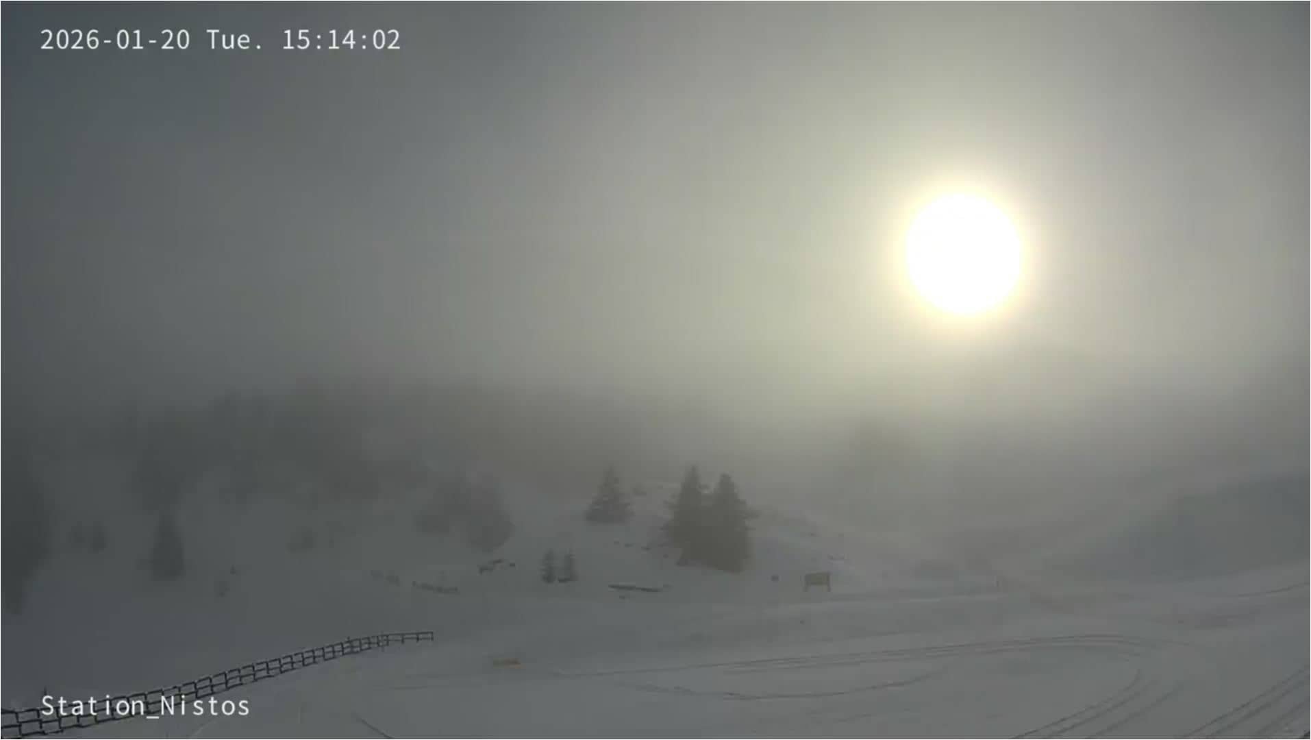
Occitania, France — 19 km
Occitania, France — 21 km
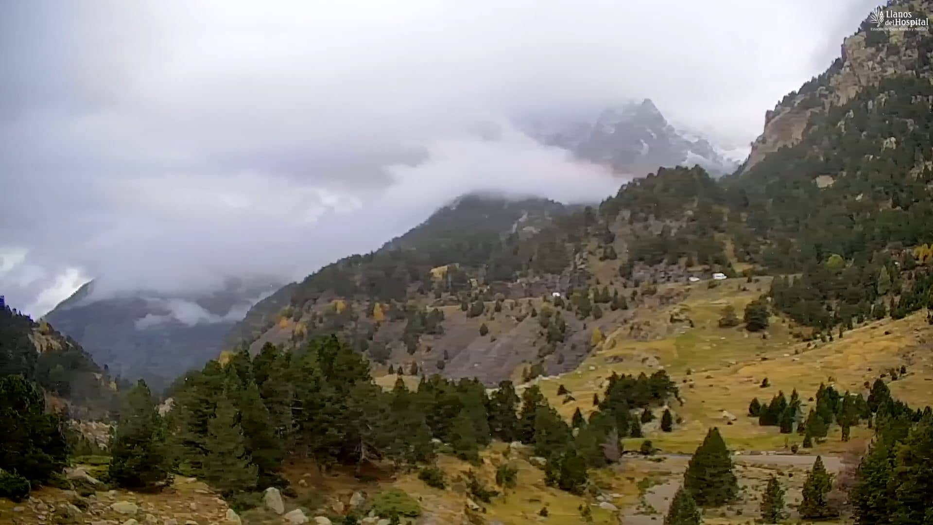
Aragon, Spain — 27 km
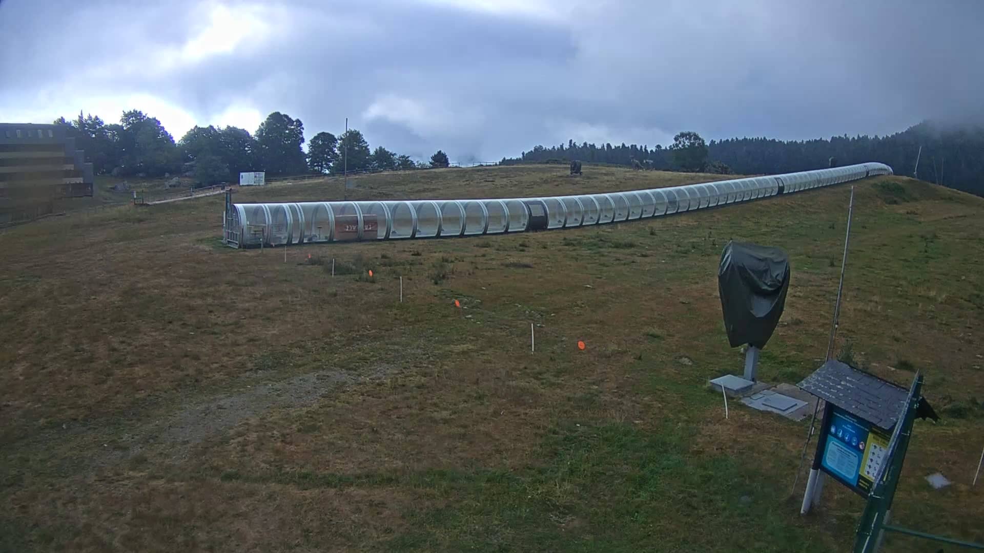
Occitania, France — 28 km

Occitania, France — 29 km

Catalonia, Spain — 30 km

Catalonia, Spain — 32 km

Catalonia, Spain — 36 km

Catalonia, Spain — 36 km
The current conditions and the three-day forecast are shown in the weather block on this page. They update automatically, so you can check them alongside the live view before you leave.
The local time is displayed on this page and follows the French time zone, which is the same as in Paris. Use it to plan when to watch the stream for the light you want.
The village lies at about 42.92 N and 0.69 E in the Garonne valley, in the Haute-Garonne department of Occitania. The map on this page shows the exact location and nearby cameras.
Morning and late afternoon tend to give the clearest views of the surrounding slopes. In winter, the snow line on the higher ground is often the most interesting detail to follow.
Partner links: we may earn a commission at no extra cost to you.