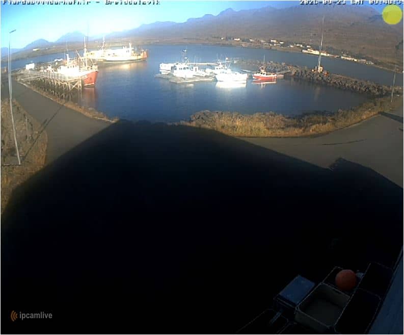
Breiðdalsvík - Port de Breiðdalsvík — Breiðdalsvíkurhöfn
East Iceland, Iceland — 42 km
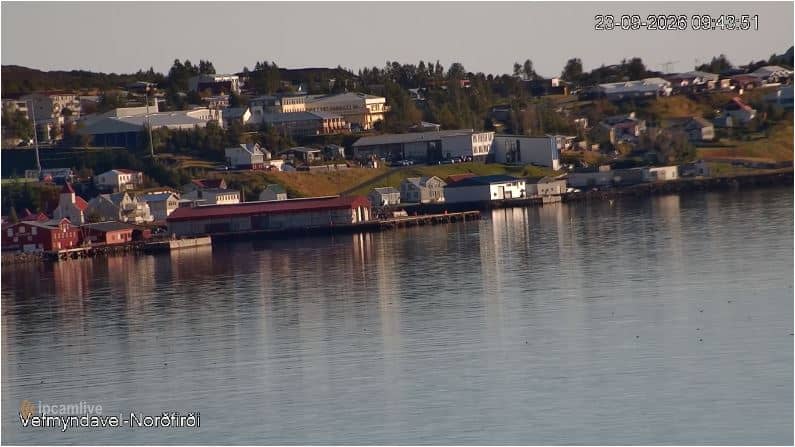
Neskaupstaður - Port de Neskaupstaður — Norðfjarðarhöfn
🇮🇸 East Iceland · Iceland — Altitude 5 m
This camera looks out over the harbour of Neskaupstaður, a fishing town on the shore of Norðfjörður in the East Fjords of Iceland. It is useful for seeing how the working harbour looks at the moment, whether boats are in, and how the fjord weather is developing before you travel or while you follow the town from afar.
Neskaupstaður sits at the head of a narrow fjord framed by steep mountains that rise straight from the water. Fishing and fish processing have long shaped the community, and the harbour remains its economic heart. The surrounding landscape is green in summer and often snow-dusted in winter, with waterfalls and cliffs close to town. The fjord is quiet most of the time, which makes the harbour a good place to notice changes in weather and light.
A port camera is most interesting when vessels come and go, so check in around the times fishing boats typically return or leave. Depending on the view, you may see moored boats, quay activity, and the fjord beyond. Iceland's light changes quickly: long summer evenings give soft, late light, while winter days are short and often dramatic, with low sun and passing storms. Watching the water surface also tells you a lot about the wind before the forecast does.
Neskaupstaður is reached by road through mountain passes and tunnels, so conditions can change, and winter travel calls for care and an up-to-date road check. Summer, roughly June to August, is the easiest season for walking and exploring the fjords. Nearby, Breiðdalsvík and Borgarfjörður Eystri are both within reach by road, and the glacier lagoon of Jökulsárlón lies much farther along the coast, so plan generous travel times.
Source: Fjarðabyggðarhafnir
East Iceland, Iceland — 42 km
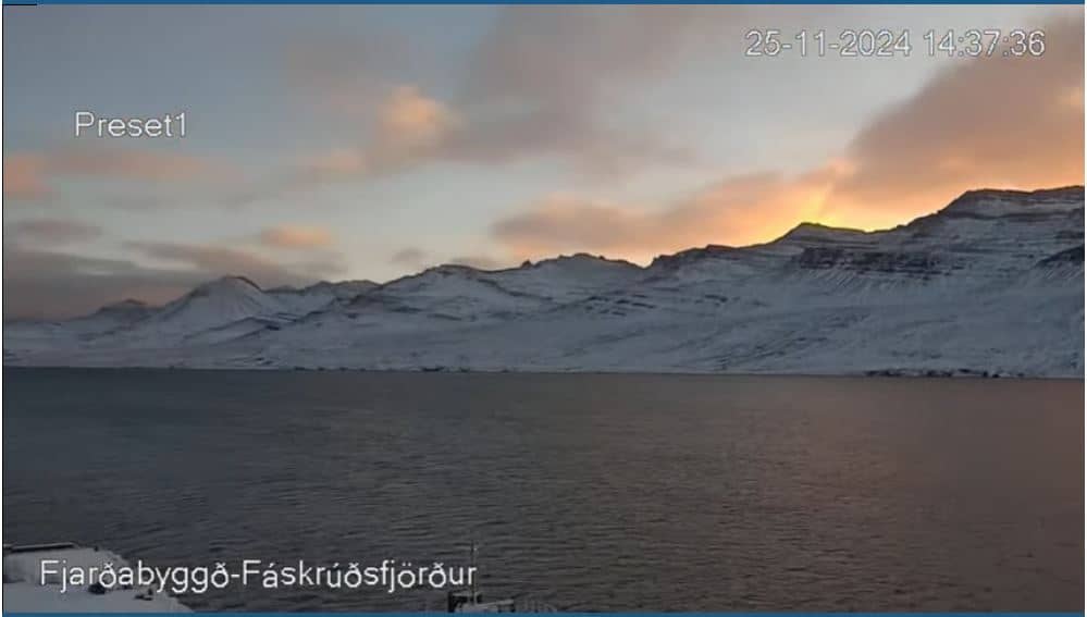
East Iceland, Iceland — 45 km
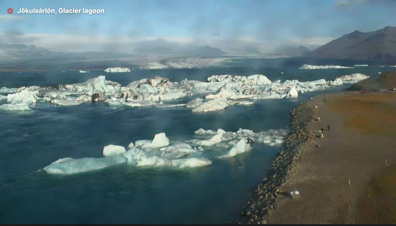
East Iceland, Iceland — 168 km
North East Iceland, Iceland — 194 km
North East Iceland, Iceland — 194 km
North East Iceland, Iceland — 210 km

North East Iceland, Iceland — 210 km

Northwest Iceland, Iceland — 226 km
Northwest Iceland, Iceland — 262 km
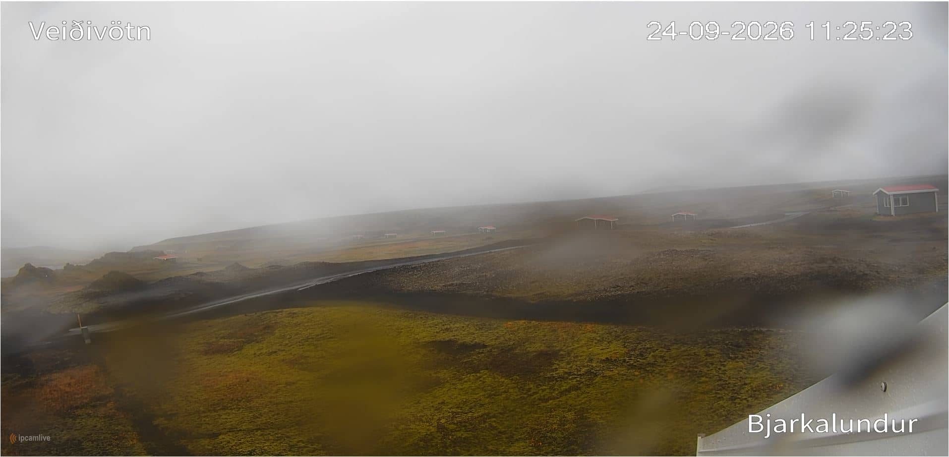
Southern Region, Iceland — 265 km
The current conditions and a three-day forecast for Neskaupstaður are shown in the weather block on this page. Values update on their own, so you can check wind and temperature before you go out.
The local time for Neskaupstaður is displayed on this page and follows Iceland's time zone, which is the same as UTC all year round.
The camera is in the harbour of Neskaupstaður in East Iceland, on the shore of Norðfjörður. The map on this page shows the exact position and the nearby cameras in the region.
Early morning and late afternoon are often the most active, when boats return or prepare to sail. In summer the light lasts long into the evening, while in winter the short days make weather changes especially visible.
Partner links: we may earn a commission at no extra cost to you.