
Gunungkidul - EmbungBataraSriten
Yogyakarta, Indonesia — 5.5 km

The camera is temporarily offline
The owner's stream is not available right now. Try again later or watch a camera nearby.
Gunungkidul - PuskesmasGedangsariII
🇮🇩 Yogyakarta · Indonesia — Altitude 136 m
This camera looks out over the Gedangsari II public health centre in Gunungkidul regency, on the southern side of Yogyakarta Special Region in central Java. It is a useful window onto everyday life in a rural district where the land rises into limestone hills. The live player is joined by local time and weather for the area.
Gunungkidul is a large regency that makes up much of the southeastern part of the Yogyakarta region. Its terrain is dominated by karst: limestone plateaus, dry valleys, caves and sinkholes that shape farming and water supply. Gedangsari sits in the hilly northern part of the regency at a modest altitude, so the landscape is a mix of terraced fields, village clusters and wooded slopes rather than dense city streets.
The camera is a city-category feed of a health centre, so most of the activity you may see is local traffic, pedestrians and the rhythm of a small public building. Depending on the angle at any moment, you might notice motorbikes, visitors and changing light across the street. Mornings are typically the busiest hours for a clinic, while late afternoon light can make the surrounding trees and hills look especially green.
Yogyakarta has a tropical climate with a wet season from roughly November to March and a drier period from May to October, which is generally the more comfortable time to travel. Gunungkidul is reached by road from Yogyakarta city. Nearby feeds include Embung Batara Sriten, the Nglanggeran viewpoint and the car park at Embung Nglanggeran, which are useful for comparing conditions across the district.
Source: cctv.jogjaprov.go.id
Yogyakarta, Indonesia — 5.5 km
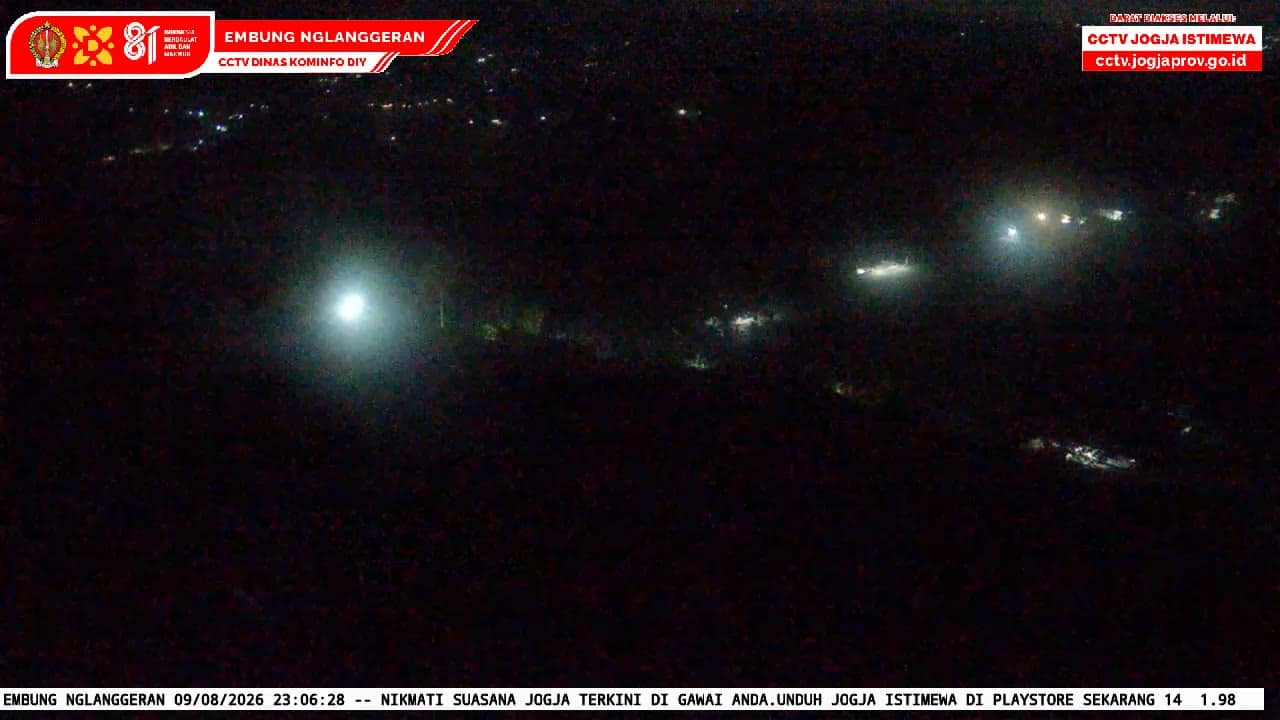
Yogyakarta, Indonesia — 6.5 km
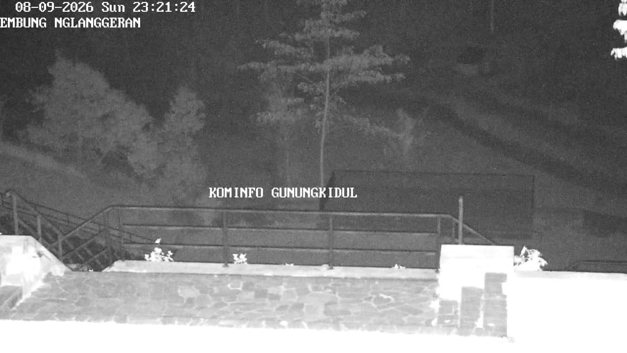
Yogyakarta, Indonesia — 6.7 km
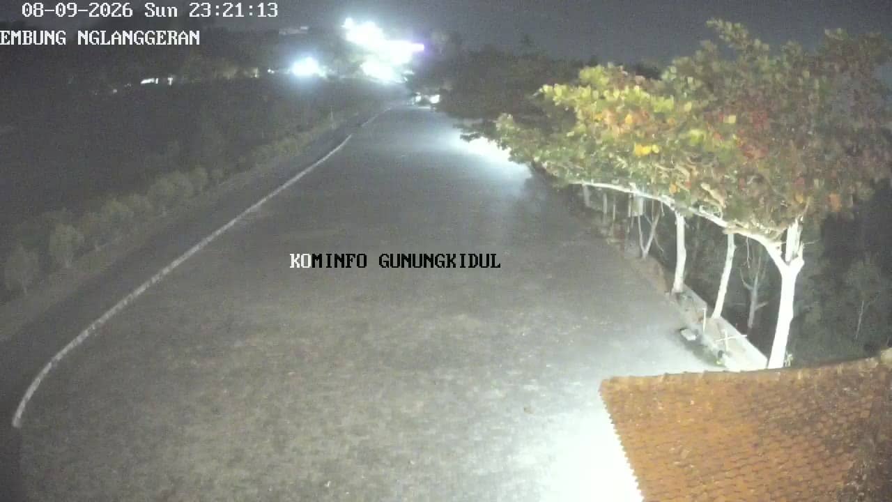
Yogyakarta, Indonesia — 6.7 km
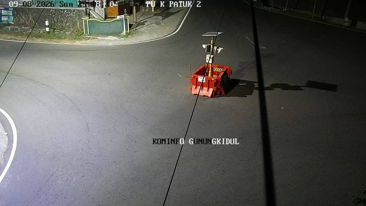
Yogyakarta, Indonesia — 6.9 km
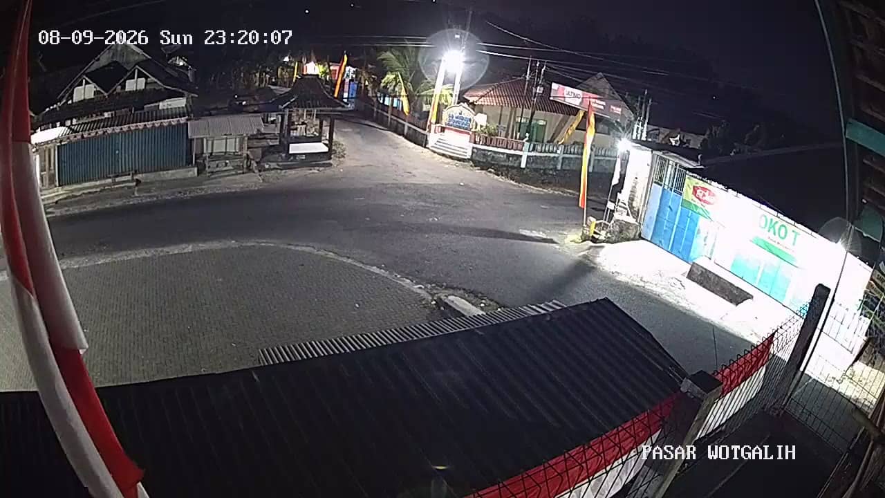
Yogyakarta, Indonesia — 8.5 km
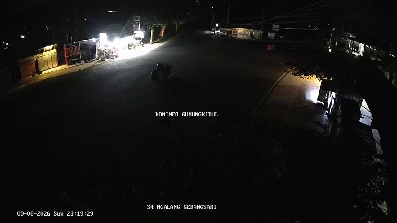
Yogyakarta, Indonesia — 8.6 km
Yogyakarta, Indonesia — 8.6 km
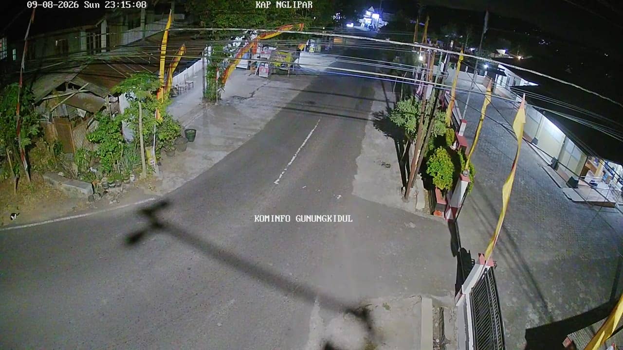
Yogyakarta, Indonesia — 8.8 km
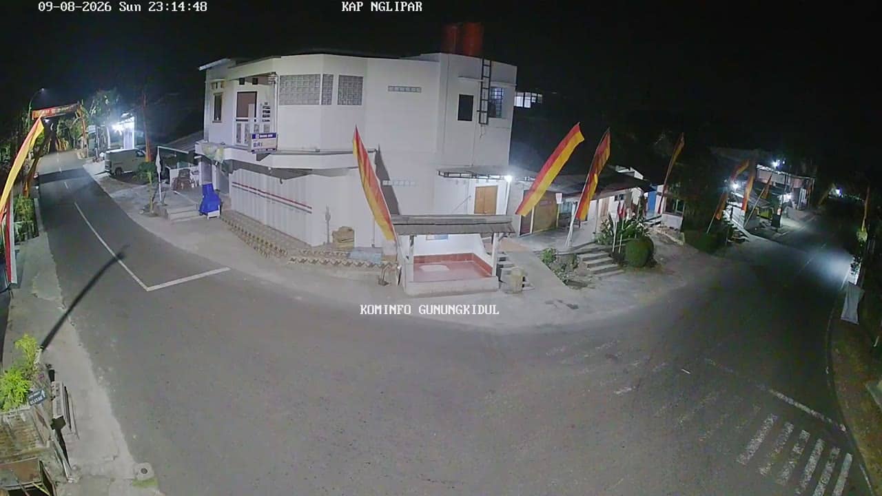
Yogyakarta, Indonesia — 8.8 km
The current conditions and a 3-day forecast for the area are shown in the live weather block on this page, updated automatically alongside the camera.
The local time for Gunungkidul is displayed on this page next to the live video, so you can see the current time there without converting it yourself.
The camera is at the Gedangsari II health centre in the Gedangsari area of Gunungkidul regency, roughly 136 metres above sea level. The map on this page shows its precise position.
Daytime hours give the clearest view of street activity, and the morning clinic hours are usually the busiest. The feed is provided by the source, so its availability can vary.
Partner links: we may earn a commission at no extra cost to you.